Mill Creek Road - DBBB
Total Miles
3.6
Technical Rating
Best Time
Spring, Summer, Fall, Winter
Trail Type
Full-Width Road
Accessible By
Trail Overview
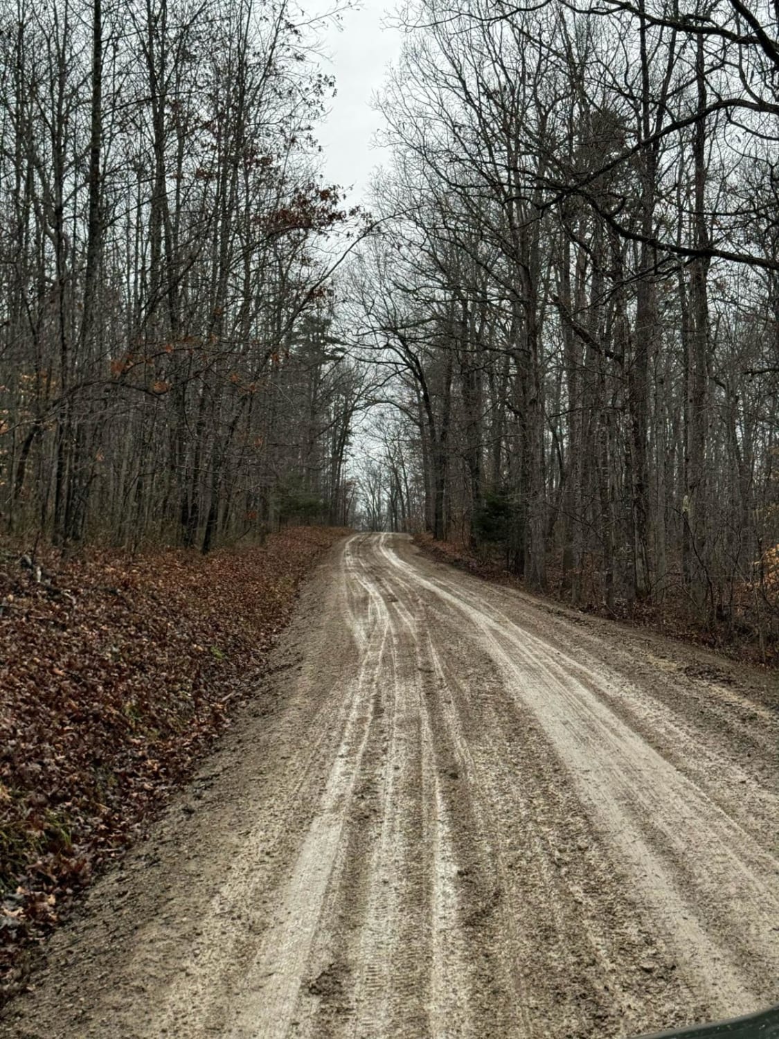
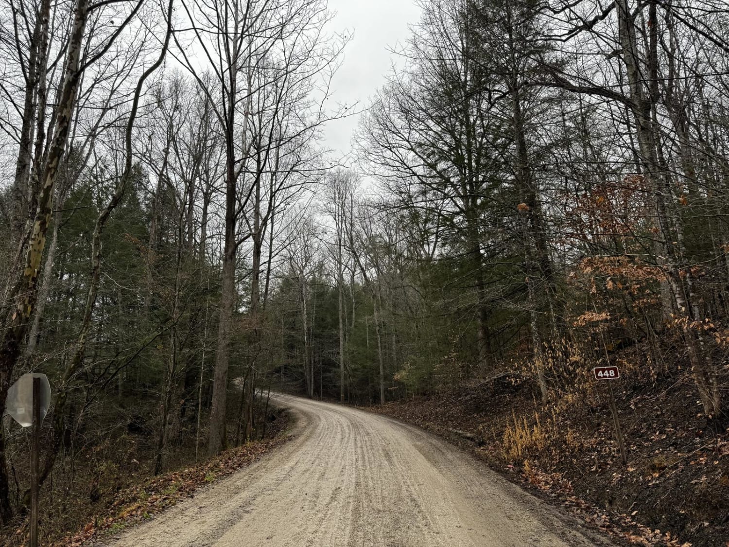
This trail is another in the southern loop of the Daniel Boone Backcountry Byway (DBBB). It is a very easy graveled forest service road that connects Highway 290 back north to McKee, Kentucky. It is wide and usually well-maintained since it is graded regularly. It is easily completed with a passenger car. The longer loop continues along Flat Lick Road which will take you to the Flat Lick waterfall. This trail connects back north to McKee.
Photos of Mill Creek Road - DBBB
Difficulty
This trail is a graded forest service road. The entrance to the trail has a switchback that has loose gravel. It's a nice trail with a good spread of trees.
Status Reports
Mill Creek Road - DBBB can be accessed by the following ride types:
- High-Clearance 4x4
- SUV
- SxS (60")
Mill Creek Road - DBBB Map
Popular Trails
2 to D Road

Lickfork Branch Hill

Trail 22 (Lovers Lane)
The onX Offroad Difference
onX Offroad combines trail photos, descriptions, difficulty ratings, width restrictions, seasonality, and more in a user-friendly interface. Available on all devices, with offline access and full compatibility with CarPlay and Android Auto. Discover what you’re missing today!