Lickfork Branch Hill
Total Miles
1.2
Technical Rating
Best Time
Fall
Trail Type
Full-Width Road
Accessible By
Trail Overview
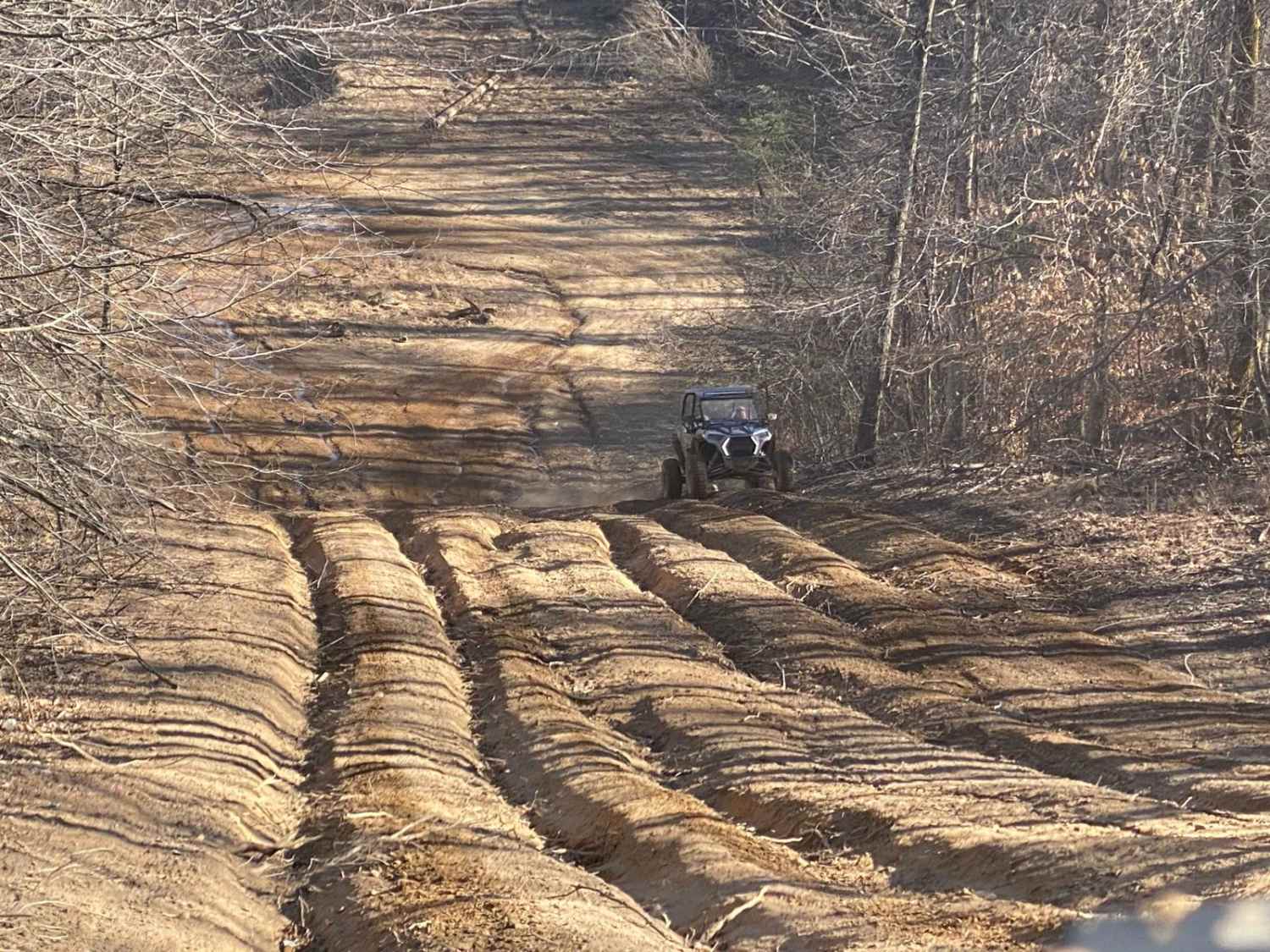
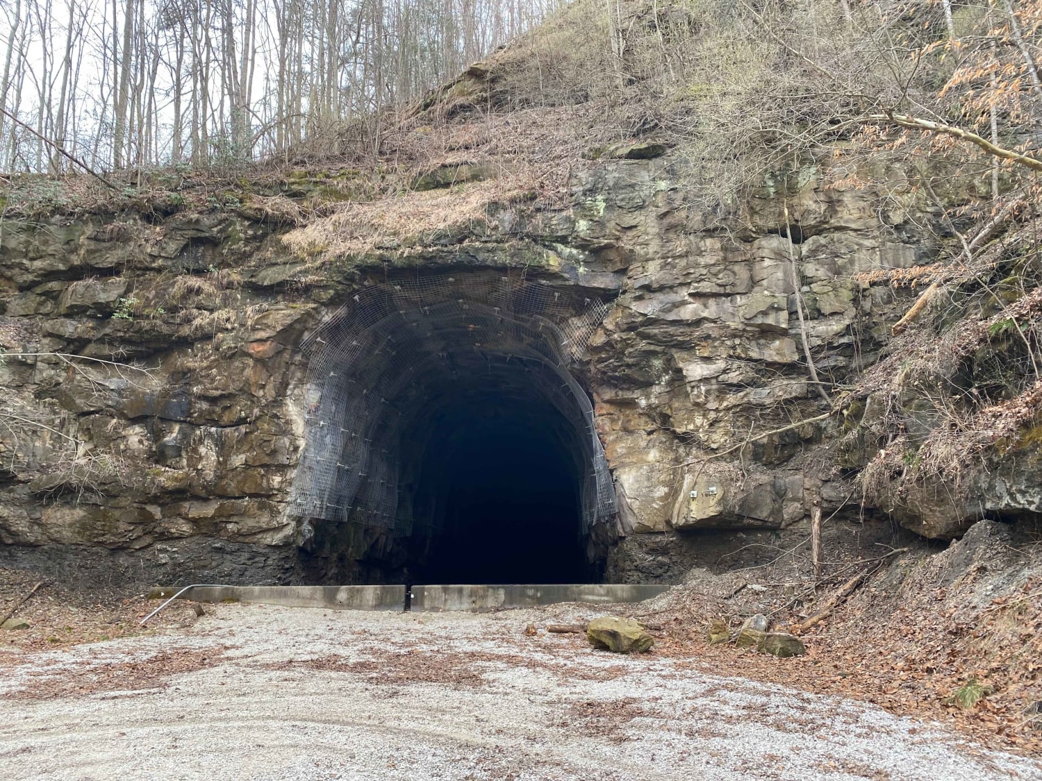
Lickfork Branch Hill is located at the end of Lickfork Branch Road. It is very steep and made of loose materials. There is a switchback about halfway up, but otherwise, there is no room for passing. This trail connects Turkey leg to Cinderella Mine trail. As always, know your limits and use caution.
Photos of Lickfork Branch Hill

Difficulty
This hill is steep and covered with loose material.
Status Reports
Lickfork Branch Hill can be accessed by the following ride types:
- High-Clearance 4x4
- SUV
- SxS (60")
- ATV (50")
- Dirt Bike
Lickfork Branch Hill Map
Popular Trails
Decoy-Magoffin Loop

Watkins Road - FS 306
Parker Mountain Road
The onX Offroad Difference
onX Offroad combines trail photos, descriptions, difficulty ratings, width restrictions, seasonality, and more in a user-friendly interface. Available on all devices, with offline access and full compatibility with CarPlay and Android Auto. Discover what you’re missing today!