2 to D Road
Total Miles
0.6
Technical Rating
Best Time
Spring, Summer, Fall, Winter
Trail Type
Full-Width Road
Accessible By
Trail Overview
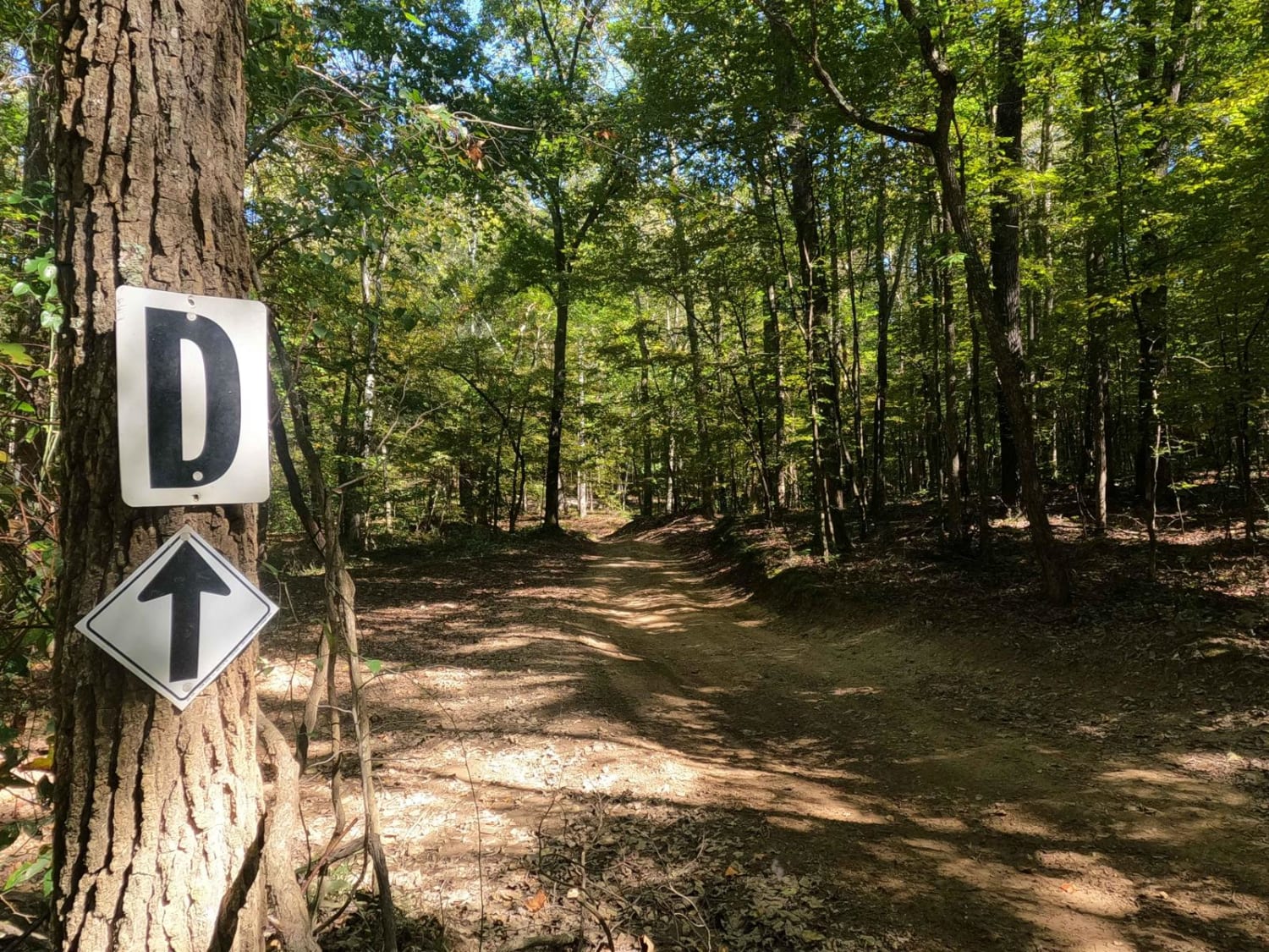
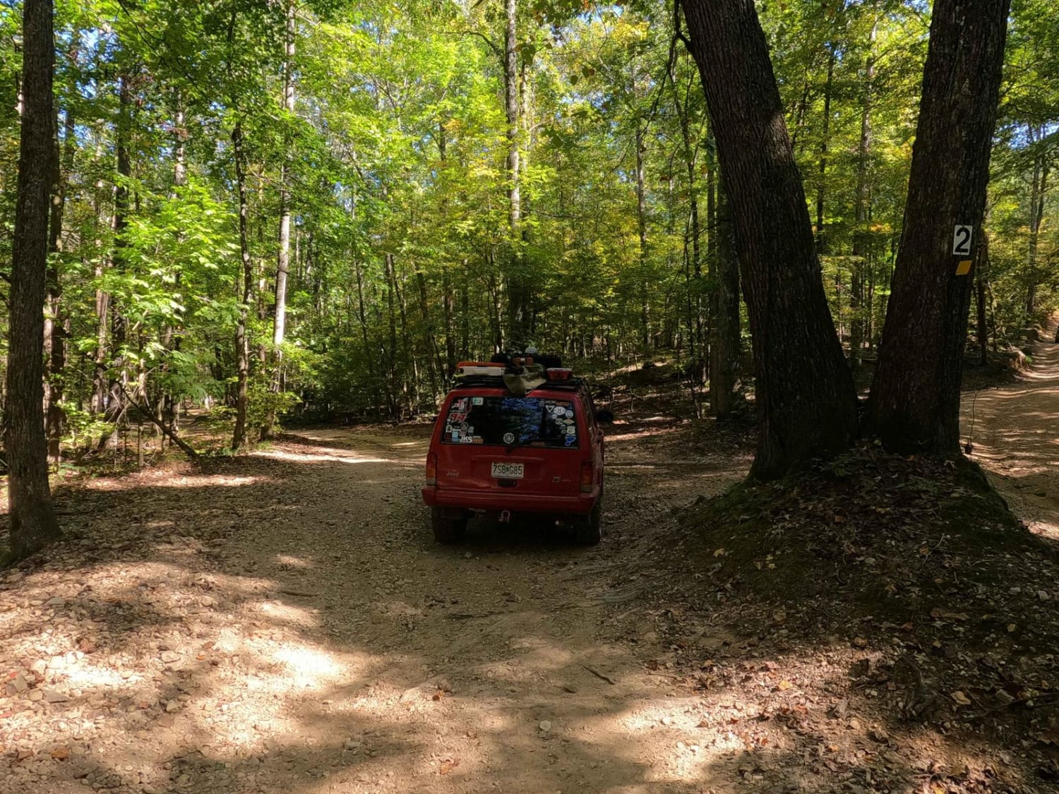
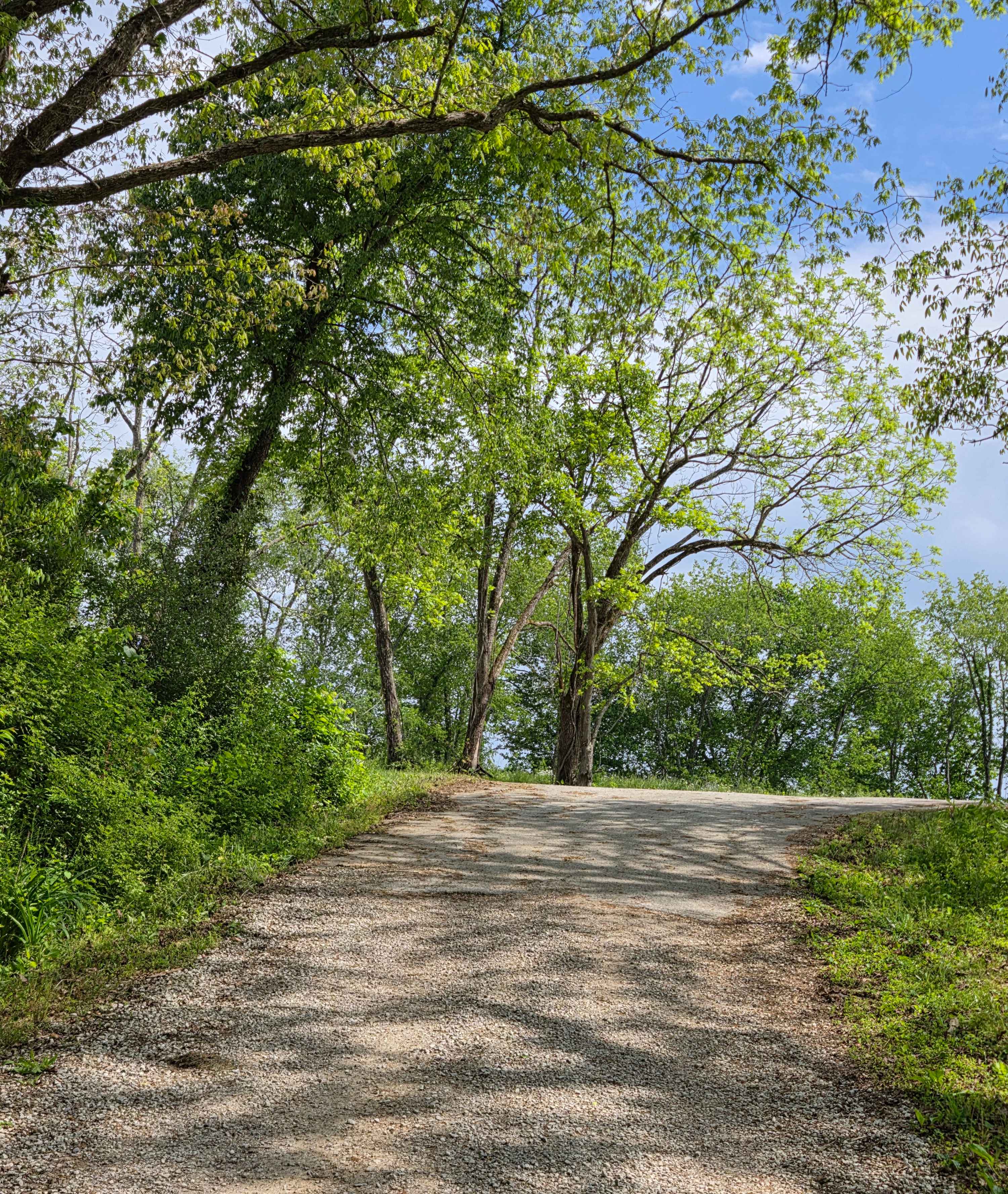
The 2 to D Road is a semi-maintained creek gravel and dirt primary road, with natural tendencies, connecting point to point from the 2 intersection to the D intersection in Turkey Bay OHV, within the Land Between the Lakes National Recreation Area. Its official ID is the Forestry M05. At the 2 intersection next to the "V Tree", heading northeast the road quickly turns into creek bottoms which lay in the valley in between the central hills of the park, crossing a few feeder creeks that channel rainwater westward to the lake. This section involves navigating ruts and washes with a mix of coarse gravel, natural rock, and dirt, with potential small water collection spots. On the last third of the road, it climbs up the steep central hills of the park, comprised of mostly dirt, thin mud when wet, ruts, washes, and small ledges in spots. The top of this hill meets the northeastern end of the road at the D intersection where you will see the white signs attached to a centralized tree.
Photos of 2 to D Road
Difficulty
The 2 to D road is a great example of a less traveled primary road within Turkey Bay. The terrain seems to be more natural and less user-polished, especially in comparison to something such as the 1 to 2 Road. The ruts and washes are the bread and butter of this road, being roughly 12 inches deep and featuring off-camber flex points as well as small ledges when on the steep hill section. The terrain features mostly small coarse gravel to small volleyball-sized rocks randomly placed with a dirt base below. Small water collection holes will form in the bottoms, especially at the feeder creeks and thin sticky mud will form on the mostly dirt hill section of this road when rain falls in the area. This trail is given a 3/10 base rating for the 12-inch obstacles and mild challenge to this road. Difficulty will increase upon heavy rain and wet seasons. Optional lines exist and can add a little more thrill and difficulty to this trail.
Status Reports
2 to D Road can be accessed by the following ride types:
- High-Clearance 4x4
- SUV
- SxS (60")
- ATV (50")
- Dirt Bike
2 to D Road Map
Popular Trails
Pierson Road


Pinnegar Cemetery - FS 139
The onX Offroad Difference
onX Offroad combines trail photos, descriptions, difficulty ratings, width restrictions, seasonality, and more in a user-friendly interface. Available on all devices, with offline access and full compatibility with CarPlay and Android Auto. Discover what you’re missing today!