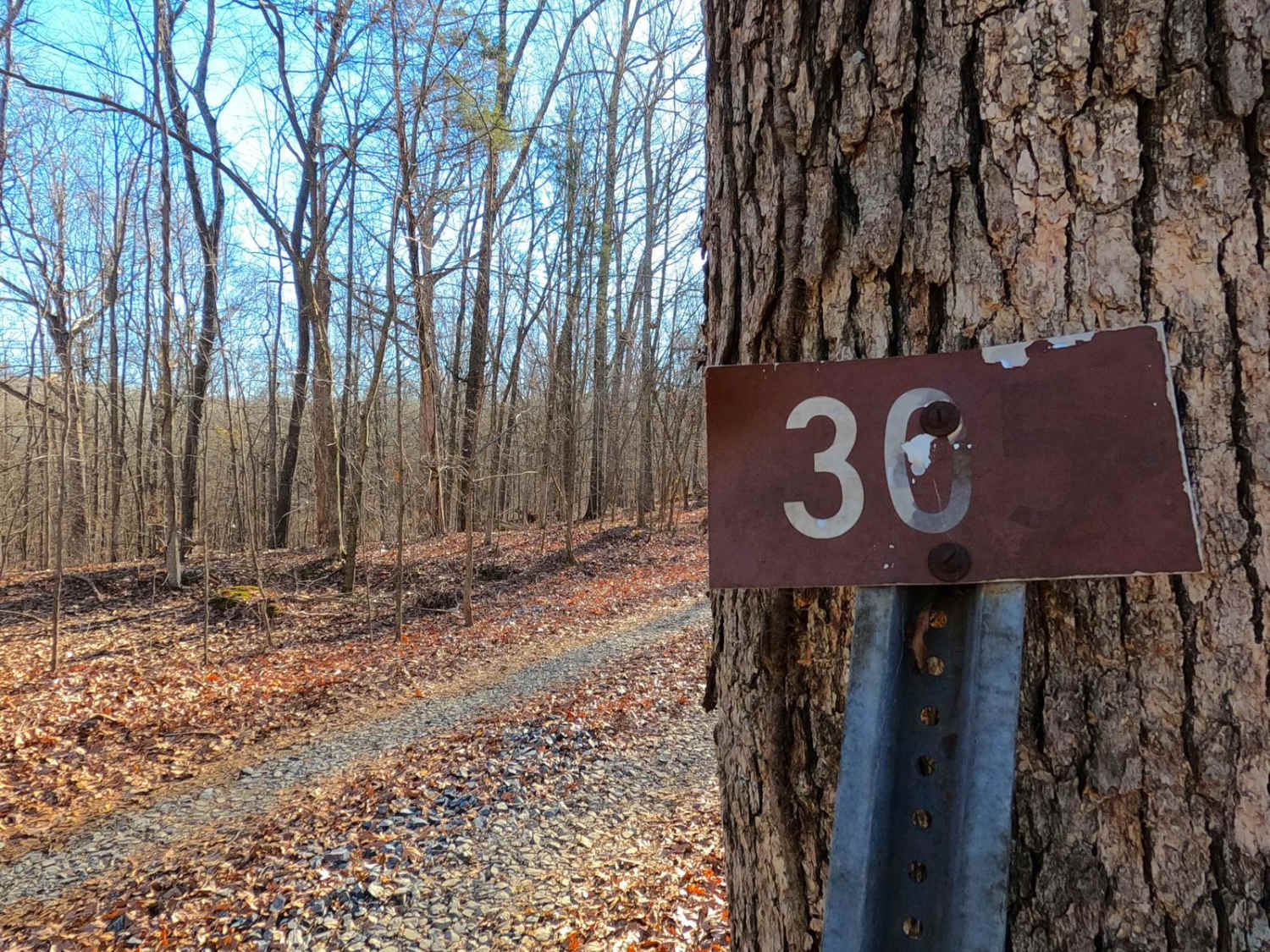
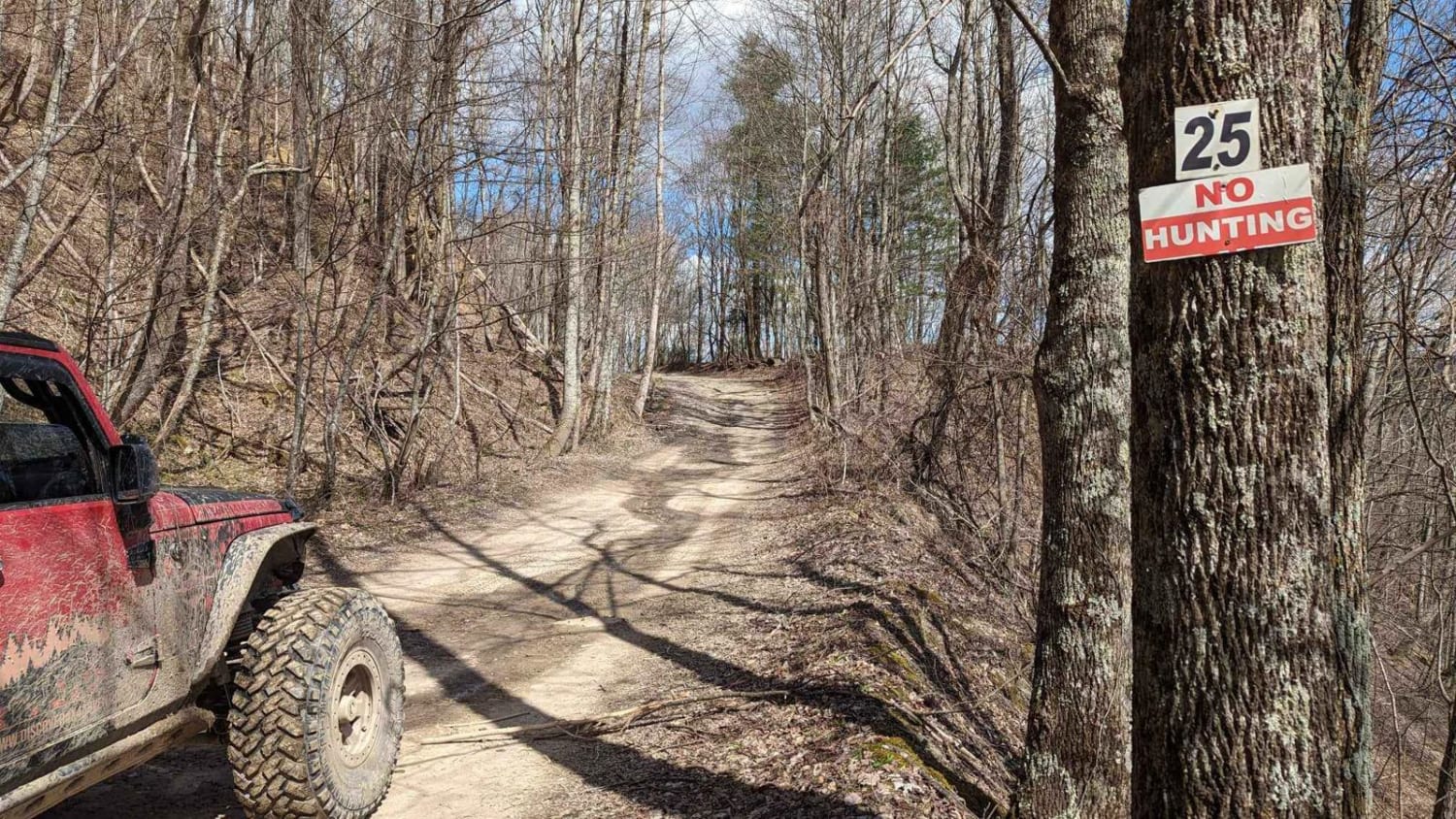
Dodd's Ridge Road - FS 305
Total Miles
2.3
Technical Rating
Best Time
Spring, Summer, Fall, Winter
Trail Type
Full-Width Road
Accessible By
Trail Overview
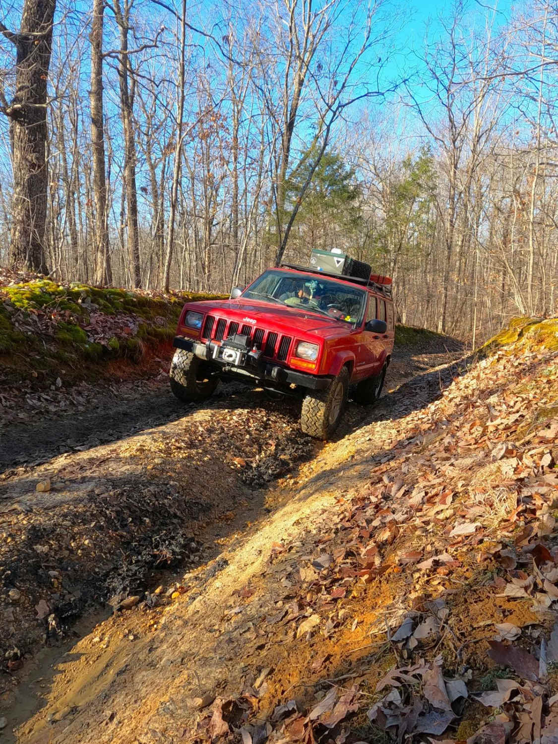
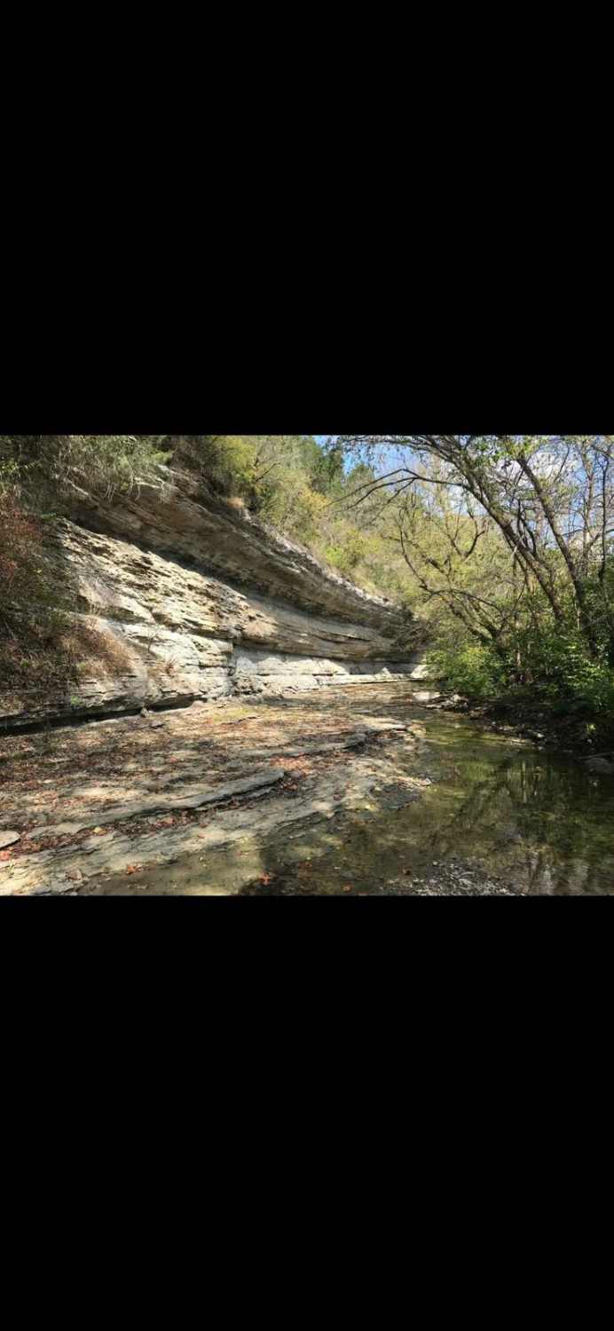
Dodd's Ridge Road FS 305, is a natural dirt Forest Service road through the inland northwest corner of the Kentucky section of the Land Between the Lakes National Recreation Area. Dodd's Ridge is the hidden gem of the Pisgah Point area, forming an alternate route back to the Woodland Trace when exploring this area. FS 305 features the best of a dirt-based LBL road over hills and ridges, featuring erosion rutting, subtle off-camber spots, water collection holes, surface mud, and deep mudholes amongst the forest treelines. From the eastern Woodland Trace FS 100 end of the trail, riders will quickly realize this is not a trail to underestimate. From the western Pisgah Point FS 111A end, the trail could deceive users into believing it is simple before suddenly changing just before the midway point. This said, the western end of the trail features several trail-side camp cutouts and obvious signs of hunting use. This trail has an annual closure for Turkey Season, between 3-27 to 5-5. In summary, it's a very fun trail to know about when visiting the Pisgah Point area and desiring a thrilling ride of exhilarating adventure. It's also home to several secluded dispersed campsites.
Photos of Dodd's Ridge Road - FS 305
Difficulty
Dodd's Ridge is nothing less than a thrill. Featuring a dirt-natural gravel base with faint signs of gravel in places, the trail features two main obstacles, deep (up to 18-inch) erosion ruts on the mild grades, and 6- to 24-inch mud holes. It also can feature a lot of surface mud, slightly off-camber spots, and tight trees. It's given a medium-demanding 5/10; it has a consistent 3/10 to 4/10 ride minimum with mandatory obstacles, even when taking the bypasses and avoiding the biggest 5/10 mudholes. The difficulty would increase during wet conditions and seasons. It is advised to let the trail heal and not hit it at these times.
Status Reports
Dodd's Ridge Road - FS 305 can be accessed by the following ride types:
- High-Clearance 4x4
- SUV
Dodd's Ridge Road - FS 305 Map
Popular Trails
Fulton Furnace Road - FS 315
Jackson Branch - Power Lines
The onX Offroad Difference
onX Offroad combines trail photos, descriptions, difficulty ratings, width restrictions, seasonality, and more in a user-friendly interface. Available on all devices, with offline access and full compatibility with CarPlay and Android Auto. Discover what you’re missing today!