Brushy Fork Road
Total Miles
4.6
Technical Rating
Best Time
Spring, Summer, Fall, Winter
Trail Type
High-Clearance 4x4 Trail
Accessible By
Trail Overview
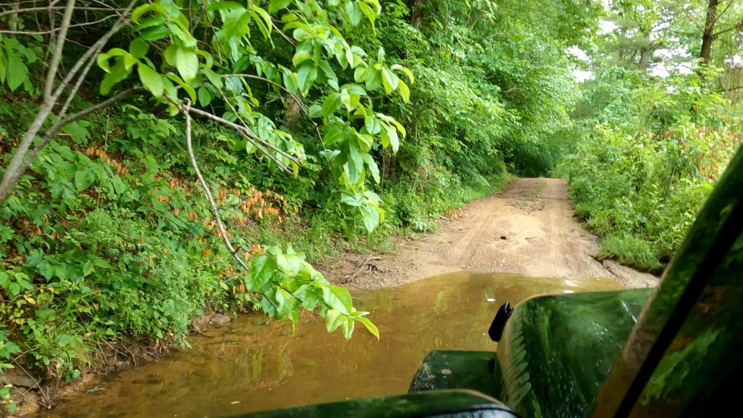
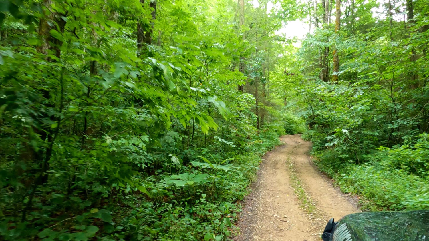
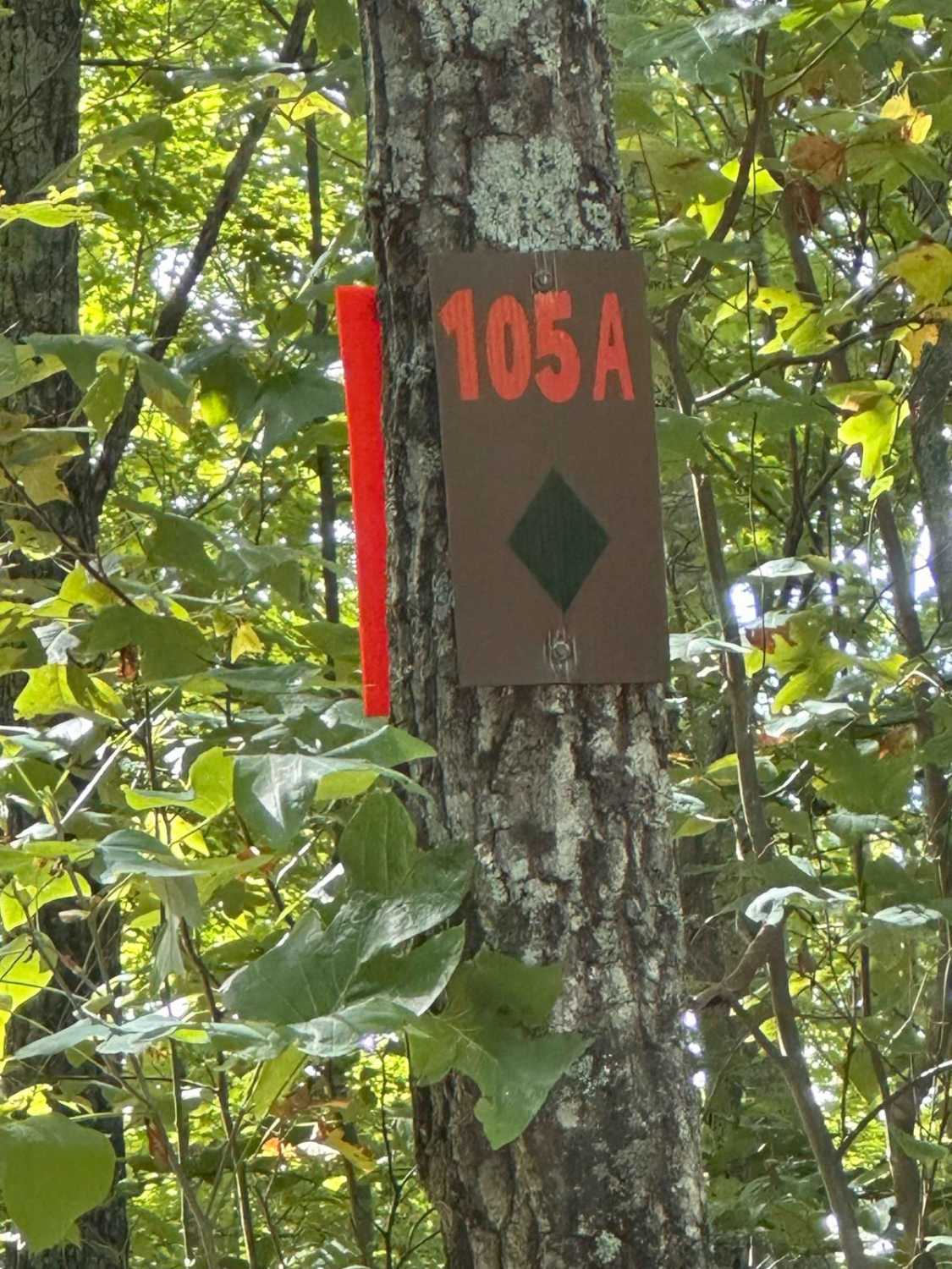
This beautiful trail has a few creek crossings and a nice uphill challenge. Brushy Fork is part of the Daniel Boon Backcountry Byway. There are a couple of large ponds and thick wooded areas to see.
Photos of Brushy Fork Road
Difficulty
Muddy Rutted Uphill climb. couple of smaller climbs as well possible deep water crossing.
Status Reports
Brushy Fork Road can be accessed by the following ride types:
- High-Clearance 4x4
Brushy Fork Road Map
Popular Trails
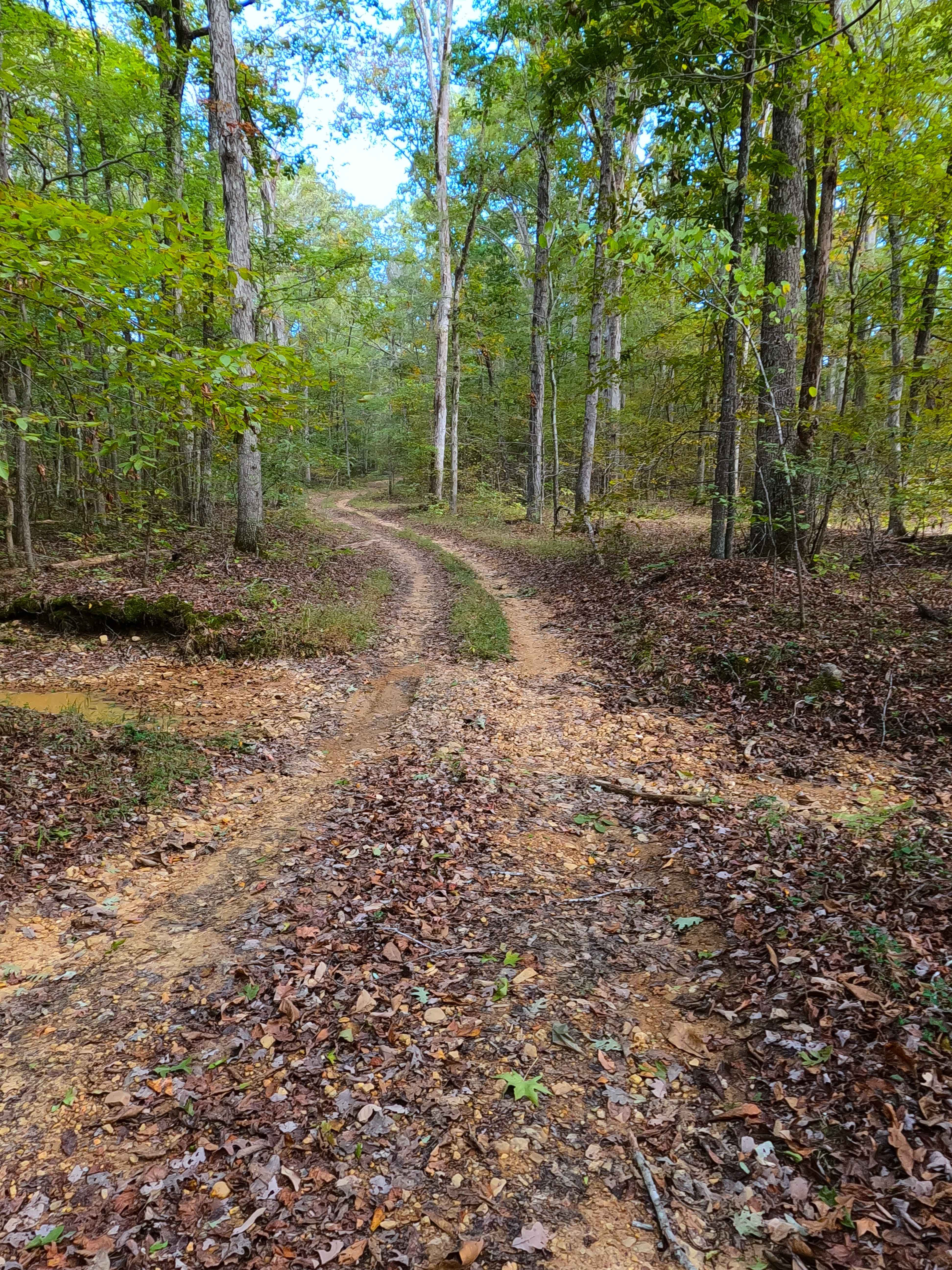
Ferguson Hollow - FS 324
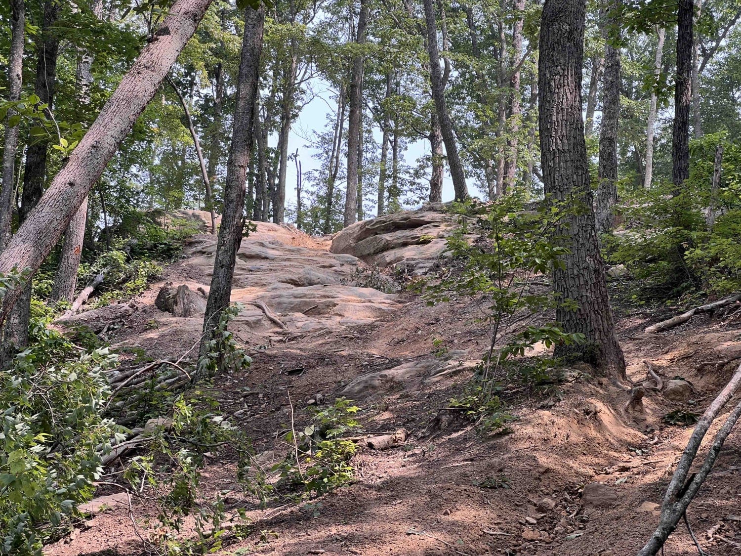
Trail 38 Hollerwood Tipsy Rock Overlook
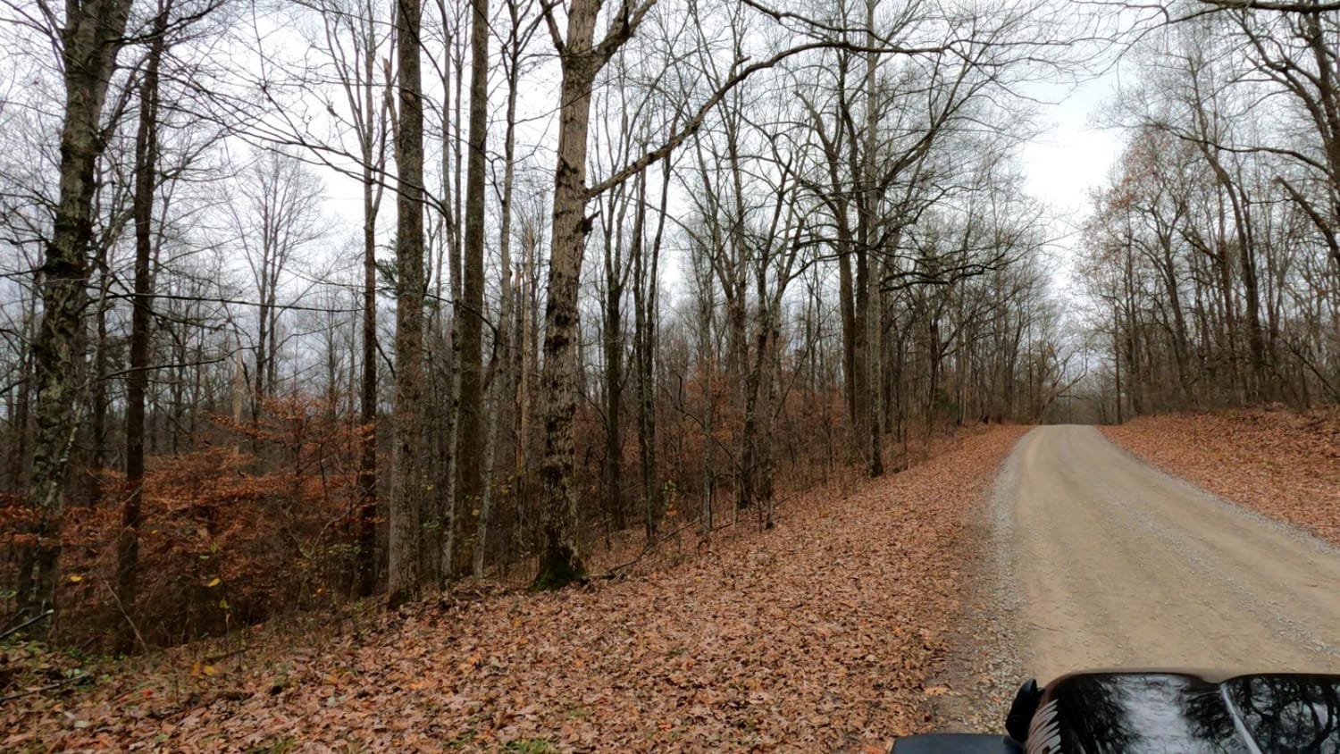
Henry Mtn Rd
The onX Offroad Difference
onX Offroad combines trail photos, descriptions, difficulty ratings, width restrictions, seasonality, and more in a user-friendly interface. Available on all devices, with offline access and full compatibility with CarPlay and Android Auto. Discover what you’re missing today!
