8 to E Road
Total Miles
0.5
Technical Rating
Best Time
Summer, Fall, Spring, Winter
Trail Type
Full-Width Road
Accessible By
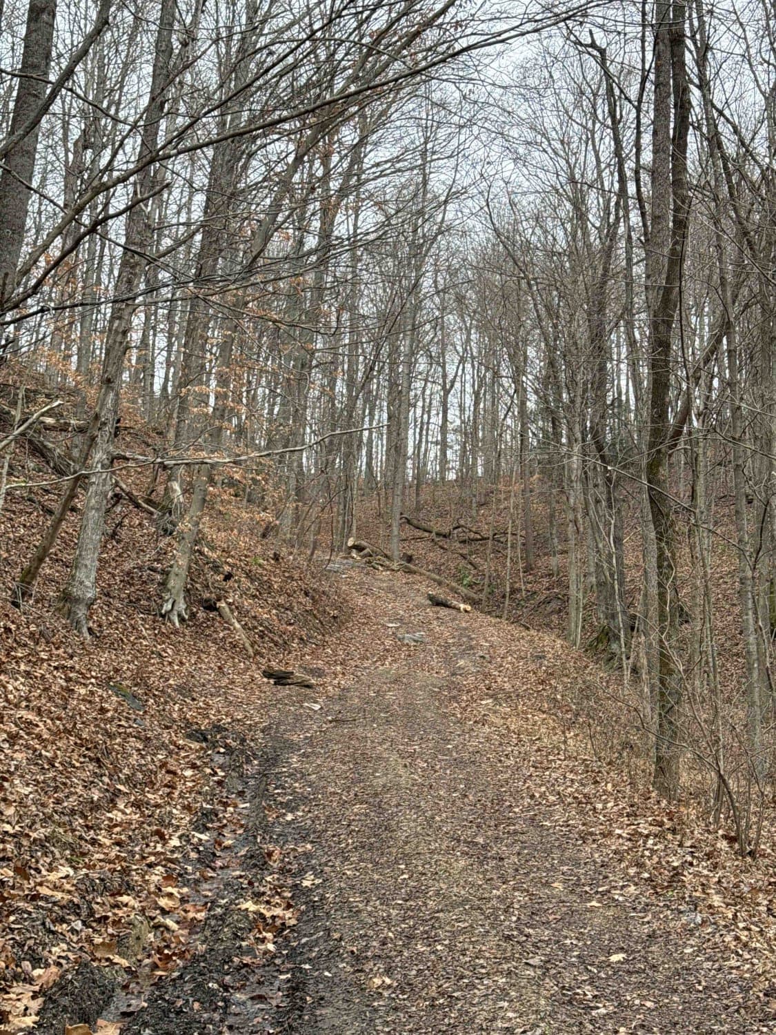
Trail Overview
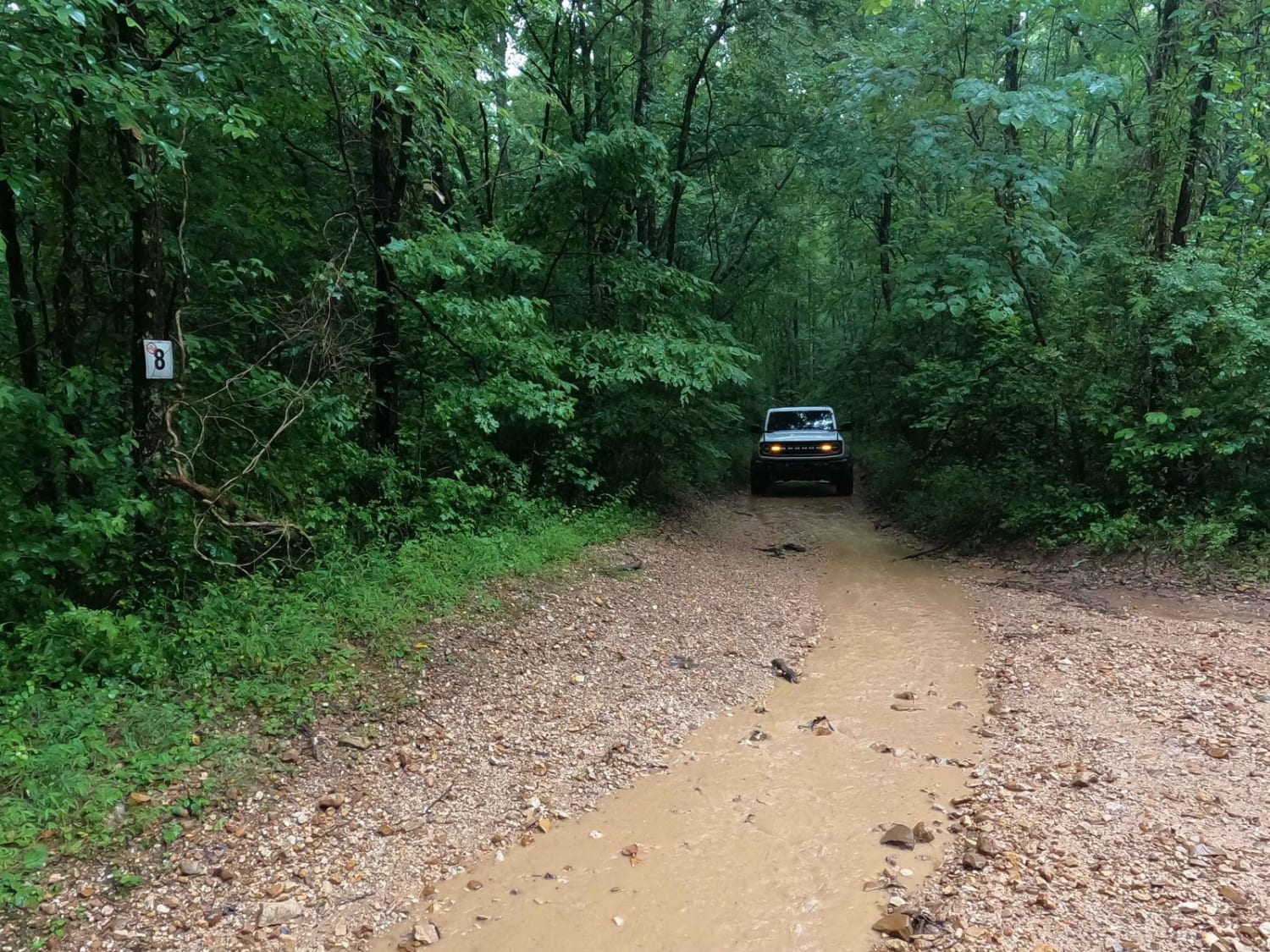
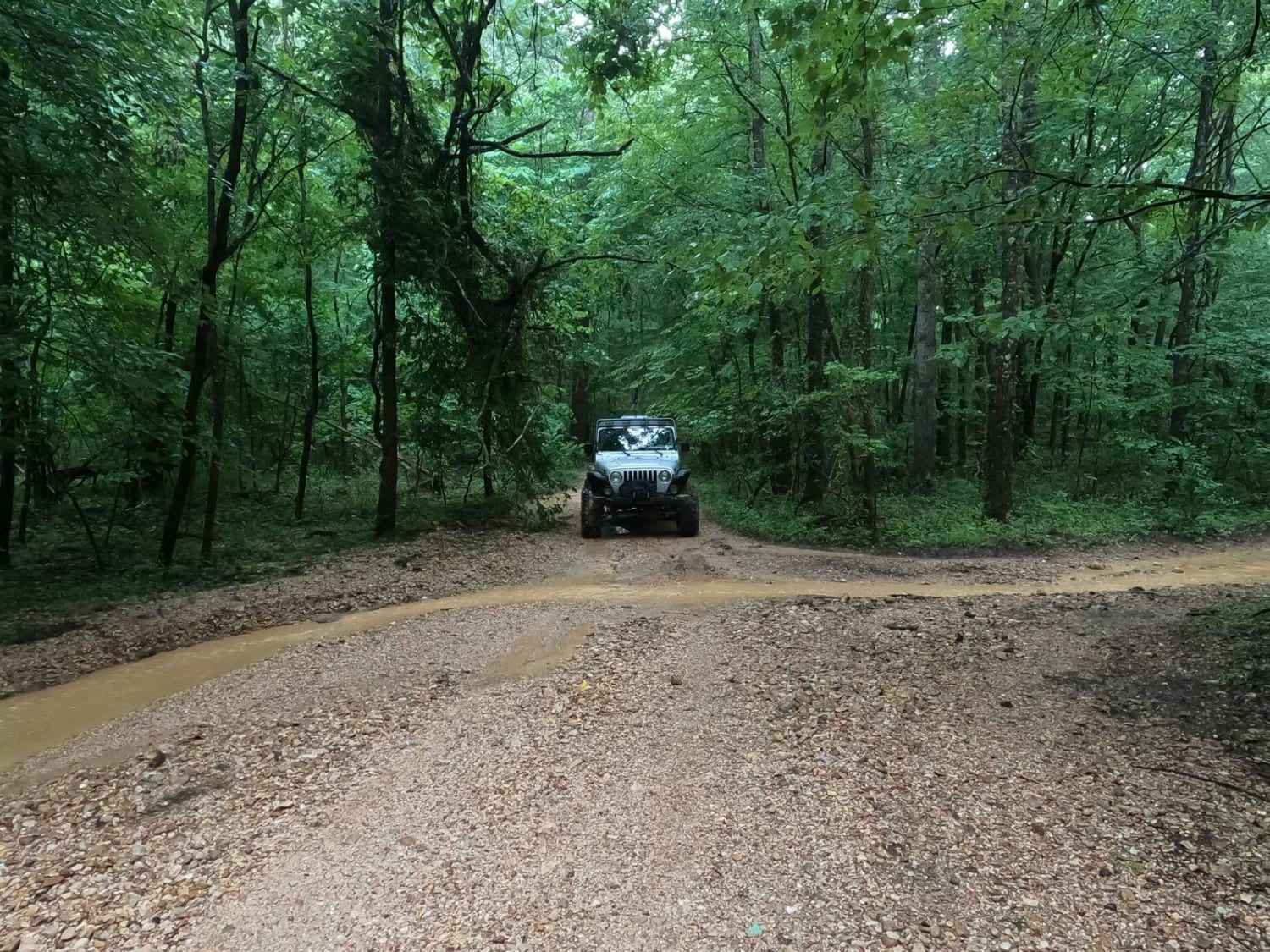
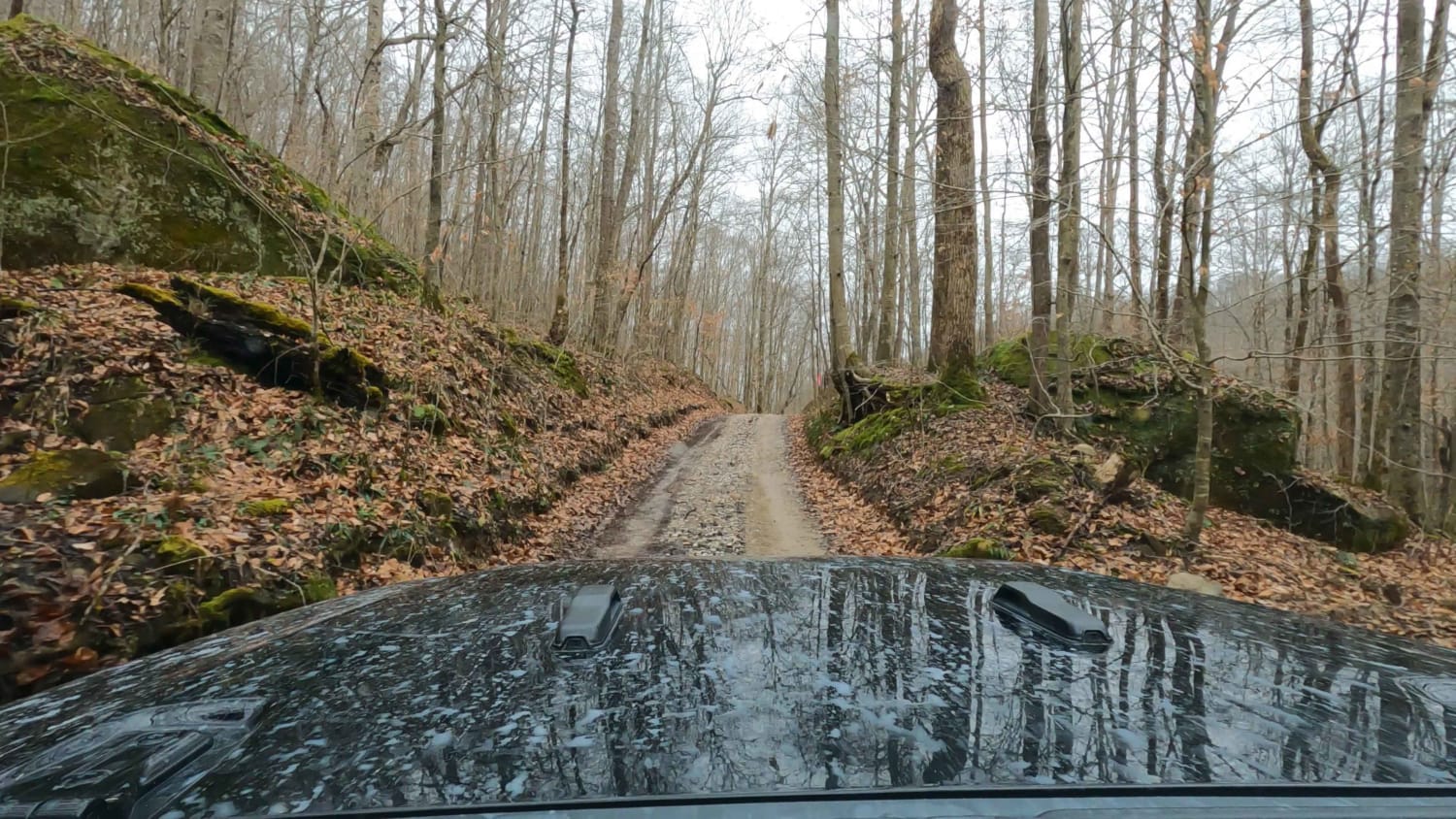
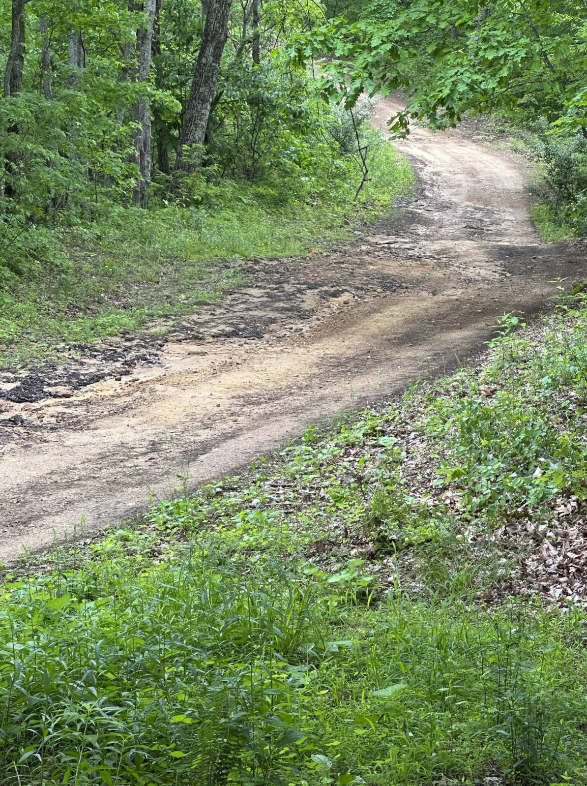
The Turkey Bay 8 to E Road is a generally maintained primary gravel/dirt road connecting point to point from the 8 intersection to E intersection inside the Turkey Bay OHV area, within the Land Between the Lakes National Recreation Area, this road's official Forest ID is the M06. The road begins on the far East side of the area at the 8 intersections and heads West into the center East portion of the park to the E intersection. Following the 8 to E direction, the road begins in the creek bottoms and generally has 6" of water sitting at the intersection, this is right alongside the North Fork Turkey Creek. After going through a short section of creek bottom terrain, the road climbs up some mild steep grades, to a ridge top, where it snakes its way to the E intersection dodging trees and a few mild mud holes. This is a great foundational road to use to get around the park quickly. It is also a great road to aim for when using secondary routes as your end goal or starting point. The quickest route out of the park from here is the 8 intersection south to 9 intersection, which is at the Turkey Bay Gate FSR 167.
Photos of 8 to E Road
Difficulty
Though the road has sections that are maintained very well, due to the sheer use of the road, and rainwater erosion, the road can become rough in use and in times of heavily wet conditions. The ruts on this road easily are 6" in depth but can range up to 18". There is also a small creek crossing at the beginning near 8 intersections with an average depth of 6"-12". There are also a few wet spots and mud spots on the hilltop that may be 6" in depth, but generally, all this can be bypassed. Expect tight trees on the ridge top with pinstriping being potential. There is also one moderately steep grade that you have to climb shortly after the beginning. All this said the trail is given a base rating of 3/10, but in wet conditions, could be amplified to a higher difficulty, and in perfectly maintained conditions could be less difficult.
Status Reports
8 to E Road can be accessed by the following ride types:
- High-Clearance 4x4
- SUV
- SxS (60")
- ATV (50")
- Dirt Bike
8 to E Road Map
Popular Trails
Pumpkin Hollow Rd
Johnson Hollow
The onX Offroad Difference
onX Offroad combines trail photos, descriptions, difficulty ratings, width restrictions, seasonality, and more in a user-friendly interface. Available on all devices, with offline access and full compatibility with CarPlay and Android Auto. Discover what you’re missing today!