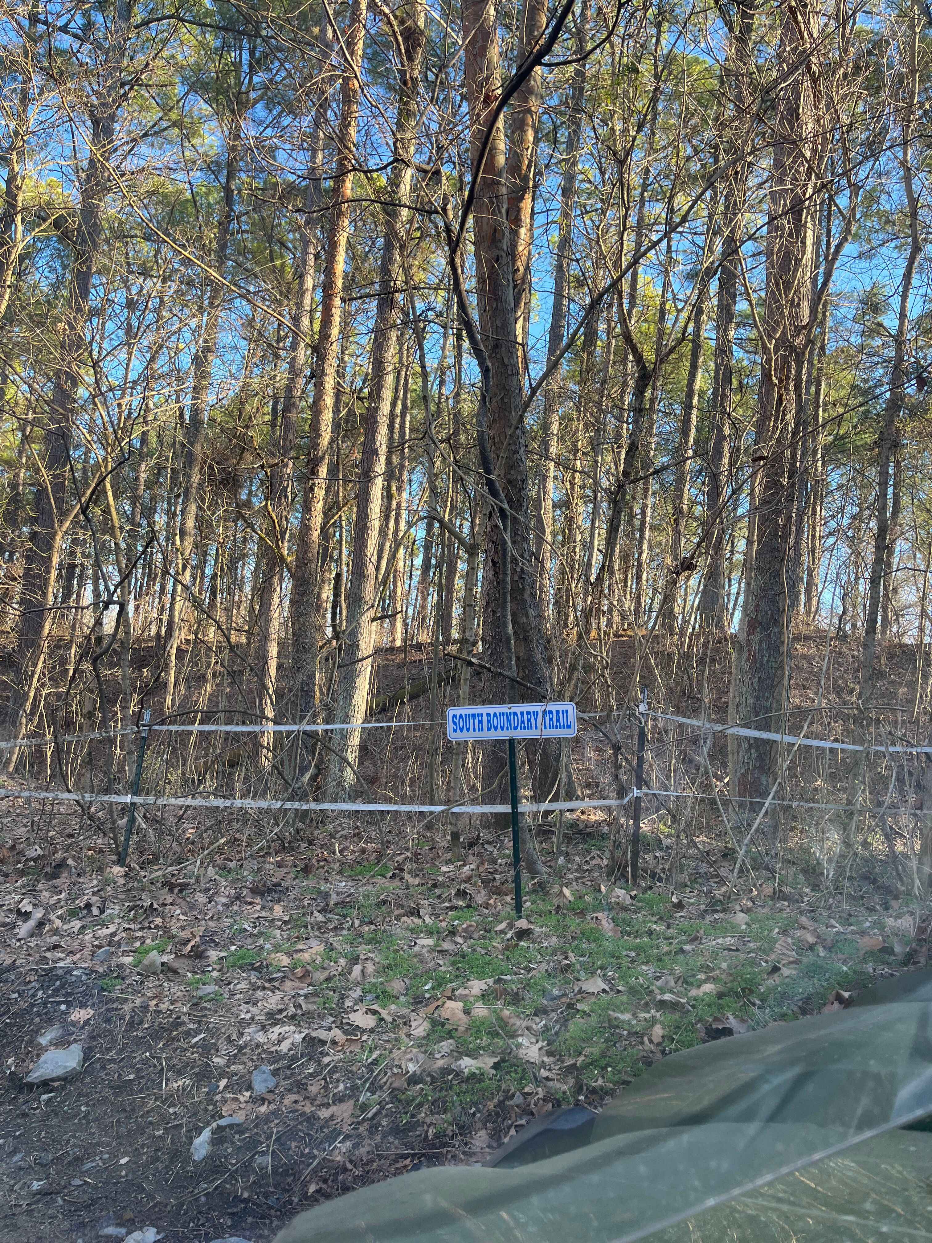
South Boundary Trail
Total Miles
2.0
Technical Rating
Best Time
Fall
Trail Type
60" Trail
Accessible By
Trail Overview
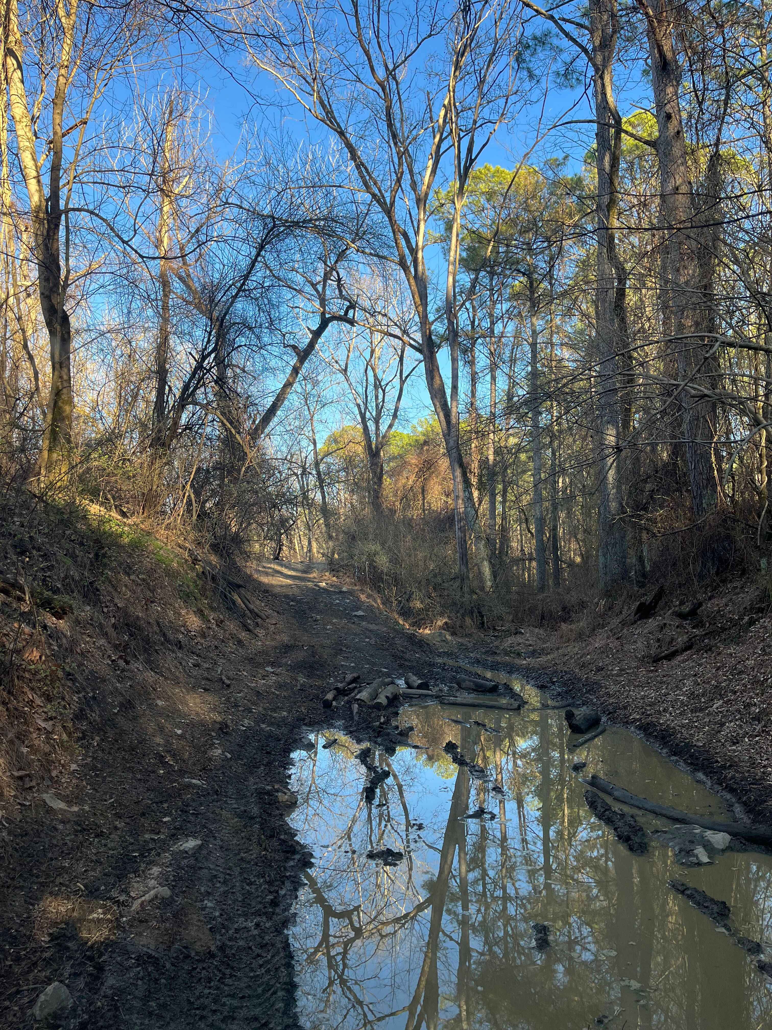
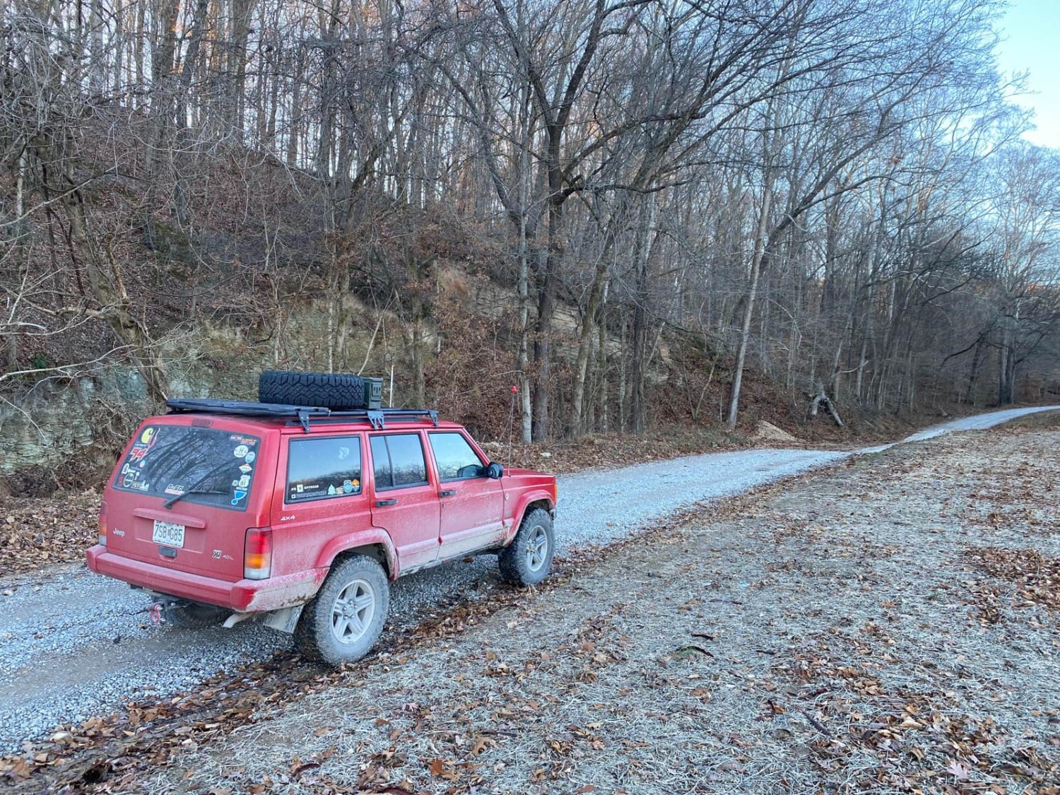
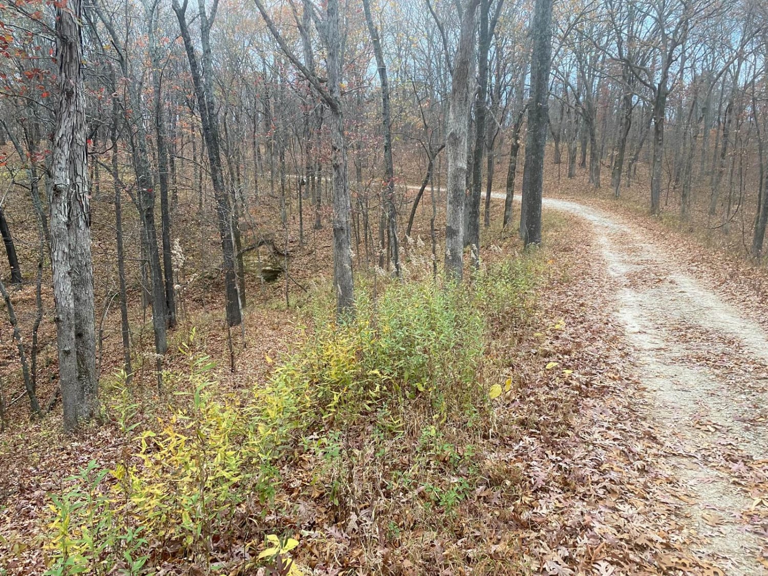
The South Boundary Trail is one of the longest routes at the park. This trail can be accessed at the south end of the Rolling Hills trail and traverses along the park boundary to the east side of Old Highway 13. There is a large mixture of terrain, from small and large rocks to steep hills and deep mud holes. Most difficult obstacles can be avoided, although some cannot. Approaching this trail from the west, it begins as a series of rolling hills with rocky, muddy terrain. Some hills and mud holes can be difficult during the wet season. There are two very large, steep hills on this trail; one can be bypassed and the other cannot. The first hill encompasses steep terrain with large rocks, making it almost impassable to wide vehicles. The second hill is approximately a 100-foot elevation change and is smooth on the west side and rocky on the east side. The use of 4x4 is required during the wet season on most vehicles. The western portion of the trail ends with a rocky descent to the south end of Amax Haul road, and continues on to the east up another rocky hill. As this trail follows the fence along the south boundary, there is a bypass for an extremely swampy portion of the trail during every season. Once completed, the trail becomes rocky once again as it climbs up another hill and levels off as a smoother trek through the woods. This ends with another rocky descent to the southeast section of the park, encompassed entirely by Kudzu vines. There is a series of tertiary hill climbs that can be completed in the early spring and fall that wind through the Kudzu vines; these can be accessed from this portion of the South Boundary Trail. Moving back north, this becomes the muddiest section of the trail, with mud holes extending 20 inches in depth at times, while rolling through some spoil hills and finally opening up by the east side of Reclamation Road. Crossing the reclamation, the trail extends its final stretch back to Old Highway 13 at the far east side of the park. The South Boundary Trail is periodically resurfaced with a dozer to prevent hazards to riders. When a dry season is present, this trail can be explored with ease on a two-wheel drive OHV, although wet conditions can require the use of four-wheel drive to complete. This route is accessible by SxS, ATV, and dirt bikes, and falls into the blue difficulty rating.
Photos of South Boundary Trail
Difficulty
Large rocks present, deep water crossings, and mud holes during the wet season. Large steep hills that can be slick at times.
History
This is the new south boundary of our property expansion of 2009.
Status Reports
South Boundary Trail can be accessed by the following ride types:
- SxS (60")
- ATV (50")
- Dirt Bike
South Boundary Trail Map
Popular Trails

Open Ponds Trail
Clear Creek Levee Road
Lingle Creek Road
Opossum Trot Road SFR 628
The onX Offroad Difference
onX Offroad combines trail photos, descriptions, difficulty ratings, width restrictions, seasonality, and more in a user-friendly interface. Available on all devices, with offline access and full compatibility with CarPlay and Android Auto. Discover what you’re missing today!