Snake Road - FS 345
Total Miles
4.0
Technical Rating
Best Time
Summer, Winter
Trail Type
Full-Width Road
Accessible By
Trail Overview
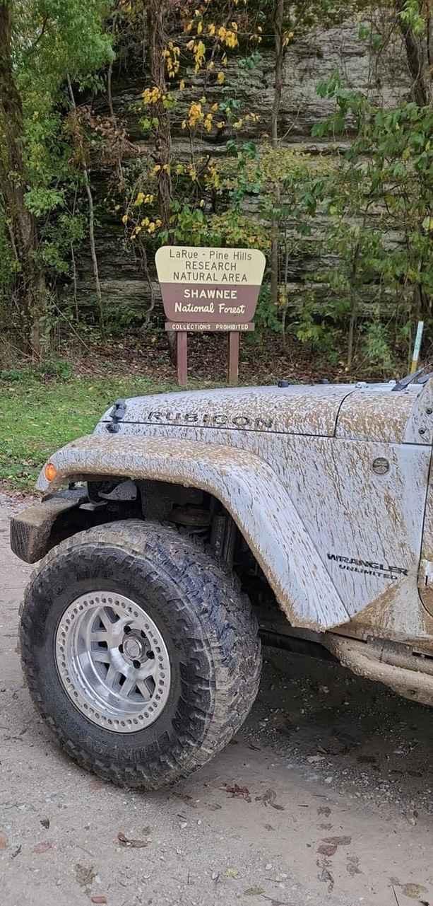
Snake Road FS 345 or South LaRue Road, is a maintained gravel road in Shawnee National Forest, within the LaRue-Pine Hills/Otter Pond Research Natural Area, a part of the greater Mississippi Bluffs unit. Snake Road gets its name from the local snakes that migrate over the road between the limestone bluffs to the east and swamp ponds to the west, which gives this road a unique biannual closure, 3/15 through 5/15 and 9/1 through 10/30. The three venomous snakes of the area are the Copperhead, Cottonmouth, and Timber Rattlesnake, these can be seen along with very many non-venomous snakes. On a closure period day, both ends of the road can still be accessed via a licensed vehicle, and have small amounts of parking, 12 spots on the north end at Winters Pond, and 5 spots on the south end at the entry of Otter Pond FS 345A. Past the gates, during migration closure season, there is a strict hike-only rule, even excluding the use of bicycles and horse riding, alongside other rules of not having any tools that could be deemed a snake catching or handling tool, including grabbers, hooks, bags, and tongs. The road features several beautiful bluffs and formations along the edge of the road including the Preachers Eye, an arch window in the bluff, best seen in winter when the leaves are gone. There is also a small wet area with swamps on both sides of the road, featuring a small splash. Overall the road is simple, but makes up for it in its natural context, having a unique draw for landscapes and snake lovers alike. For restrictions and great depth of details go to: https://www.fs.usda.gov/recarea/shawnee/recarea/?recid=35185
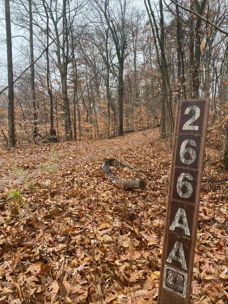
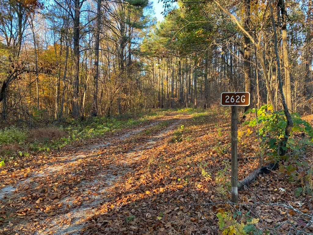
Photos of Snake Road - FS 345
Difficulty
Snake Road is a simple maintained gravel and is generally flat, only featuring mild elevation changes and one small spot with a water splash potential on the road. With minimal complications, you will likely experience potholes, but it could also feature sections where the road fades to dirt, washboard, and mounding of the gravel in between maintenance cycles.
History
"In 1972, the Forest Service made the decision to close LaRue Road for three weeks in the spring and three weeks in the fall in order for the snakes to migrate safely. However, Scott Ballard, a District Heritage biologist and herpetologist with the Illinois Department of Natural Resources, found that the snake migration took a lot longer than anyone first thought. Based on information in his master's thesis, the Forest Service extended the road closure. Now the Snake Road is closed from March 15th to May 15th in the spring and from September 1st to October 30th in the fall." Sourced from: https://education.nationalgeographic.org/resource/snake-migration/ "While traveling up the Mississippi River, Captain Meriwether Lewis writes in his journal: Novr. 22nd 1803 ...but here putts in some high clifts the summits of which are crowned with pitch-pine & seeder, these rocks are nearly perpendicular in many places sixty feet, and the height of the hills appear about to be about 120 feet above the banks which forms their base..." Sourced from: https://www.fs.usda.gov/recarea/shawnee/recarea/?recid=35185
Status Reports
Snake Road - FS 345 can be accessed by the following ride types:
- High-Clearance 4x4
- SUV
Snake Road - FS 345 Map
Popular Trails

N Hamburg Hill Spur

Slick Ridge FSR 262G

Muddy Levee Road

Pine Hills Road SFR 236
The onX Offroad Difference
onX Offroad combines trail photos, descriptions, difficulty ratings, width restrictions, seasonality, and more in a user-friendly interface. Available on all devices, with offline access and full compatibility with CarPlay and Android Auto. Discover what you’re missing today!

