North Fork Ross Fork - FS 7226
Total Miles
5.4
Technical Rating
Best Time
Summer, Fall
Trail Type
Single Track
Accessible By
Trail Overview
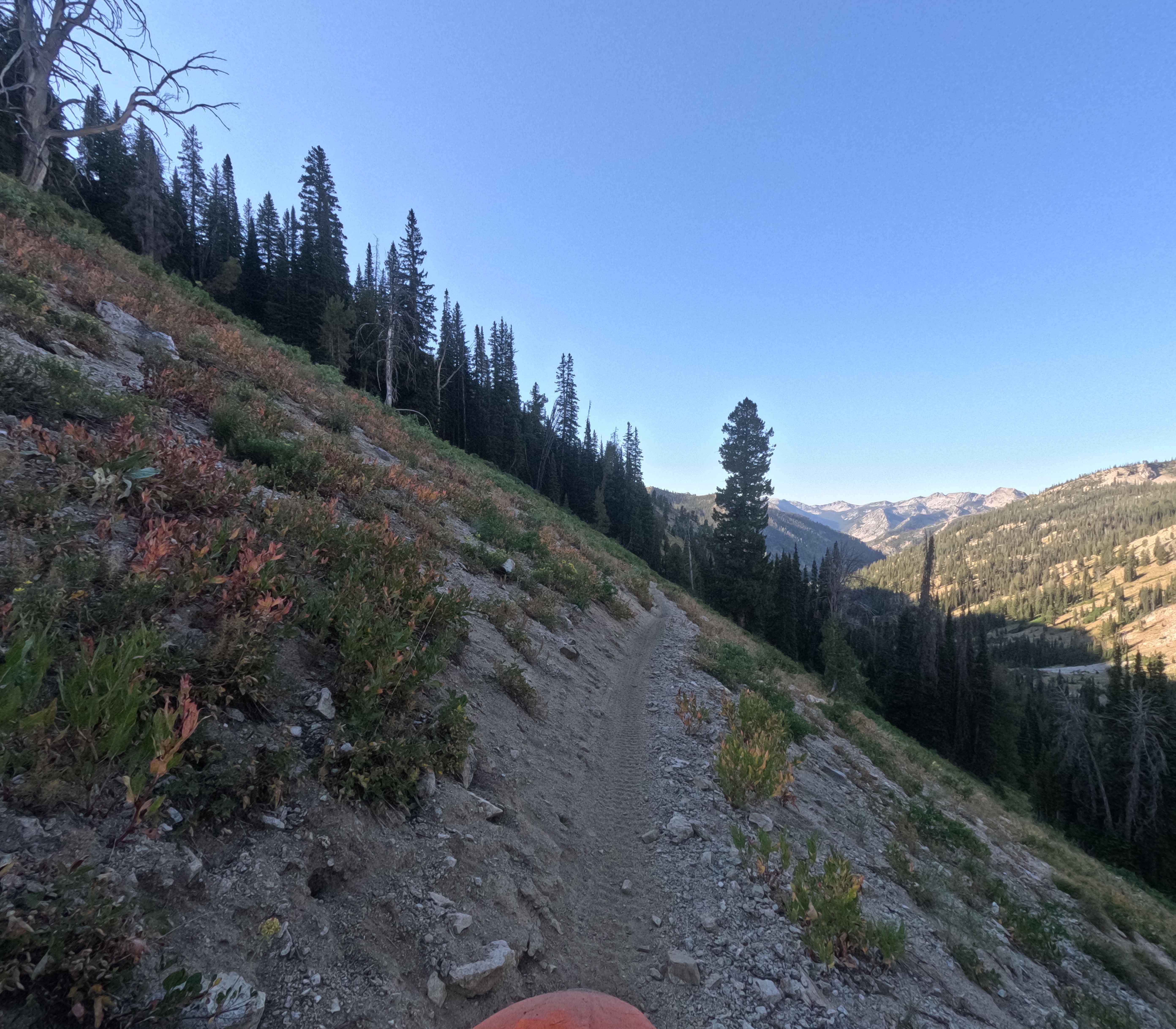
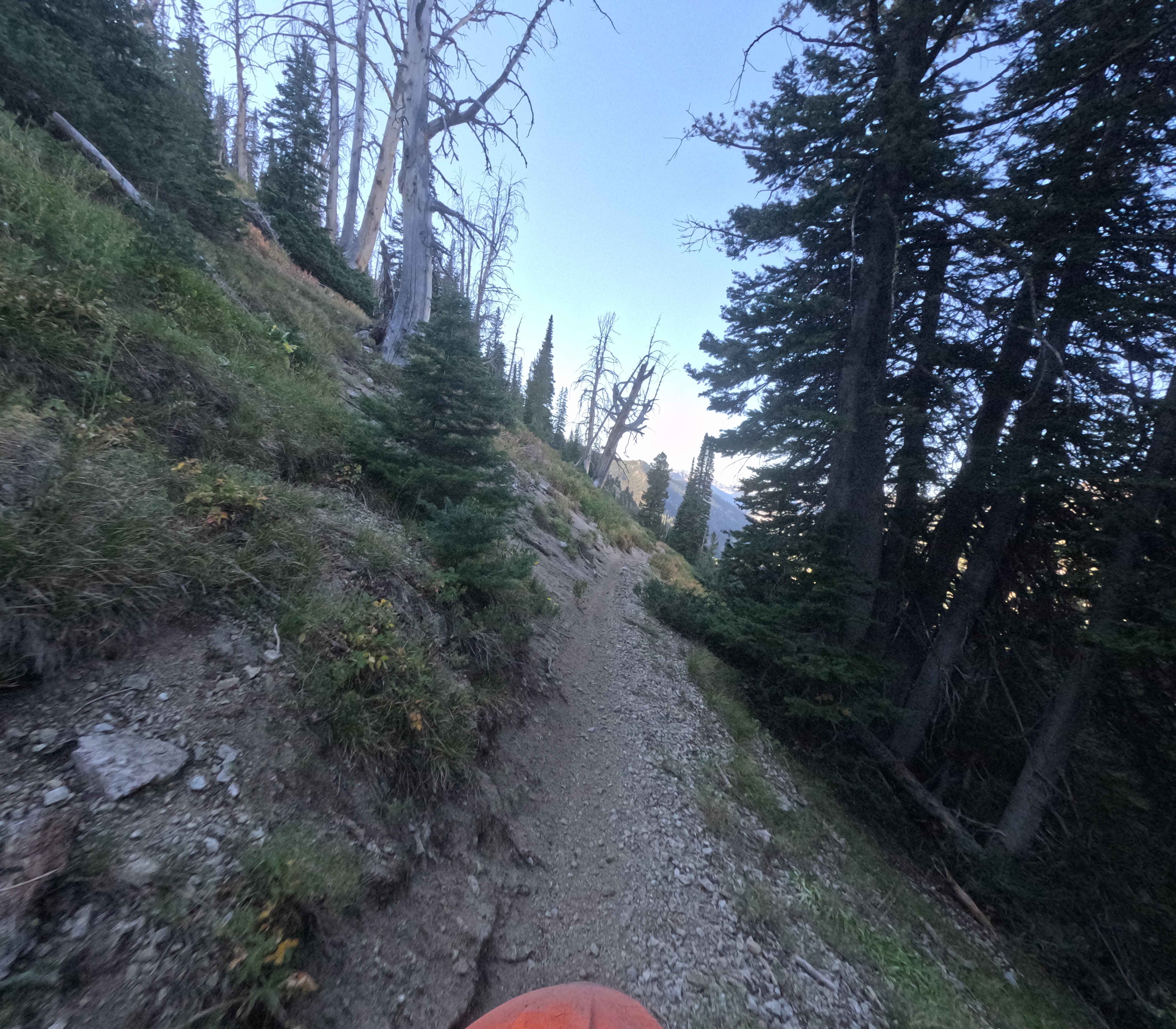
North Fork Ross Fork (FS 7226) drops 5.5 miles through the Sawtooth National Forest, about an hour north of Ketchum, Idaho. The route begins at the FS 70205 parking area near Alturas Lake and steadily loses roughly 2,000 feet as it contours along the side of a long valley before meeting Johnson Creek. The route is mostly firm dirt but breaks into pockets of loose rock, scattered boulders, and short eroded stretches. The trail is notably narrow for much of the descent, with several exposed sidehill sections that demand precision. It starts in tight timber with a few switchbacks, then gradually opens into meadow-like terrain while remaining surprisingly constricted. Near the end, the singletrack funnels back into the woods and stays narrow all the way to the junction.
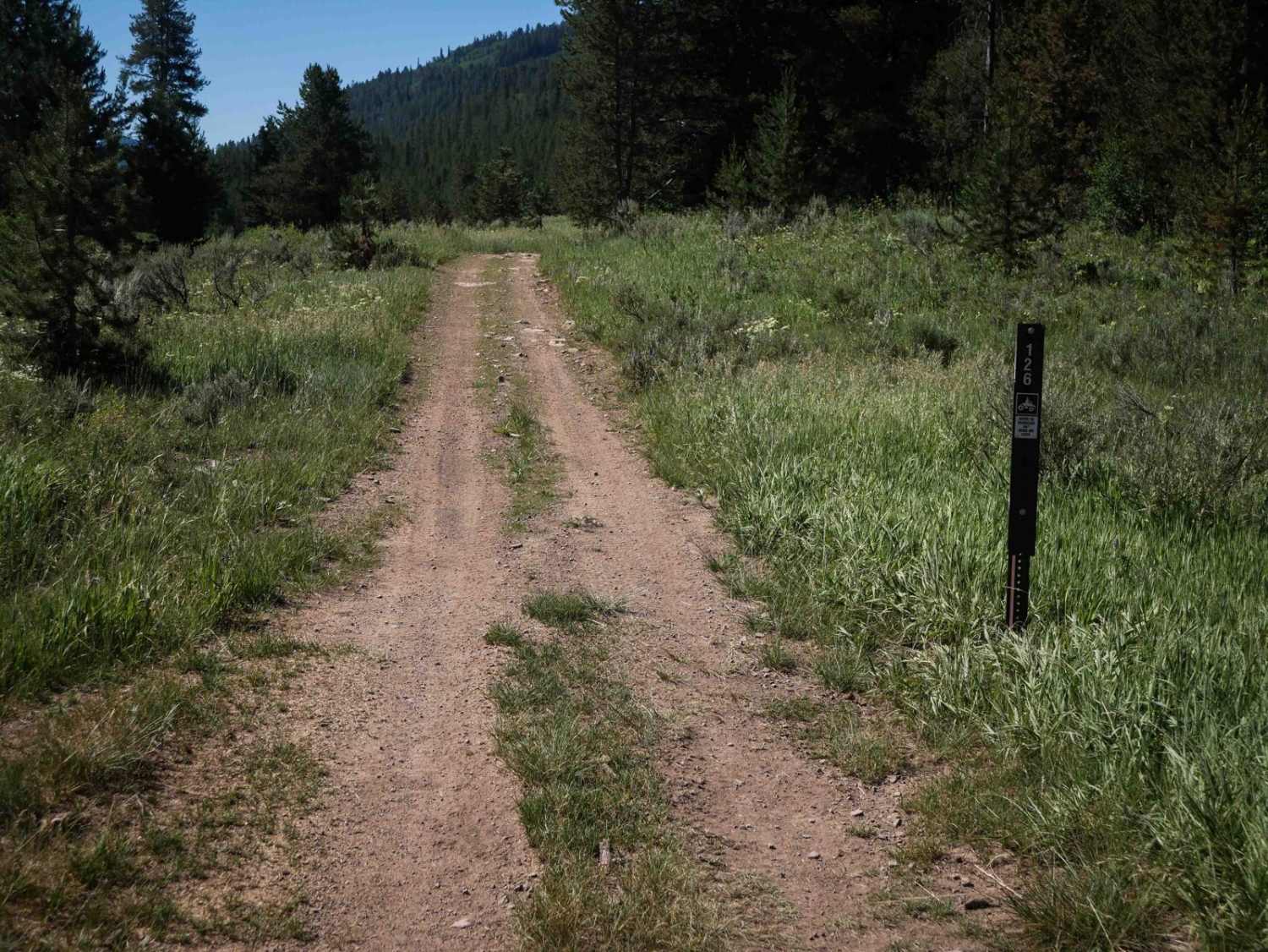
Photos of North Fork Ross Fork - FS 7226
Difficulty
This trail is extremely narrow with high exposure in areas.
Status Reports
North Fork Ross Fork - FS 7226 can be accessed by the following ride types:
- Dirt Bike
North Fork Ross Fork - FS 7226 Map
Popular Trails

Little Basin Cutoff
Diamond Creek #5126

Iowa Creek - 452
The onX Offroad Difference
onX Offroad combines trail photos, descriptions, difficulty ratings, width restrictions, seasonality, and more in a user-friendly interface. Available on all devices, with offline access and full compatibility with CarPlay and Android Auto. Discover what you’re missing today!