Kinney Point
Total Miles
3.2
Technical Rating
Best Time
Summer, Fall, Spring
Trail Type
Full-Width Road
Accessible By
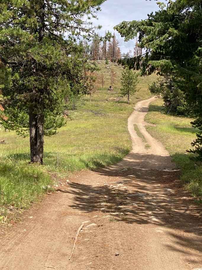
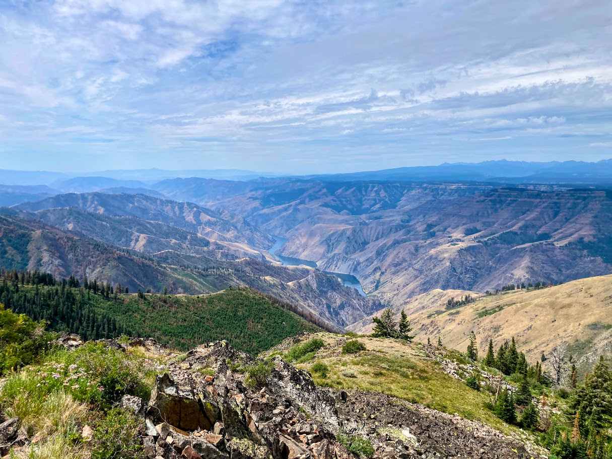
Trail Overview
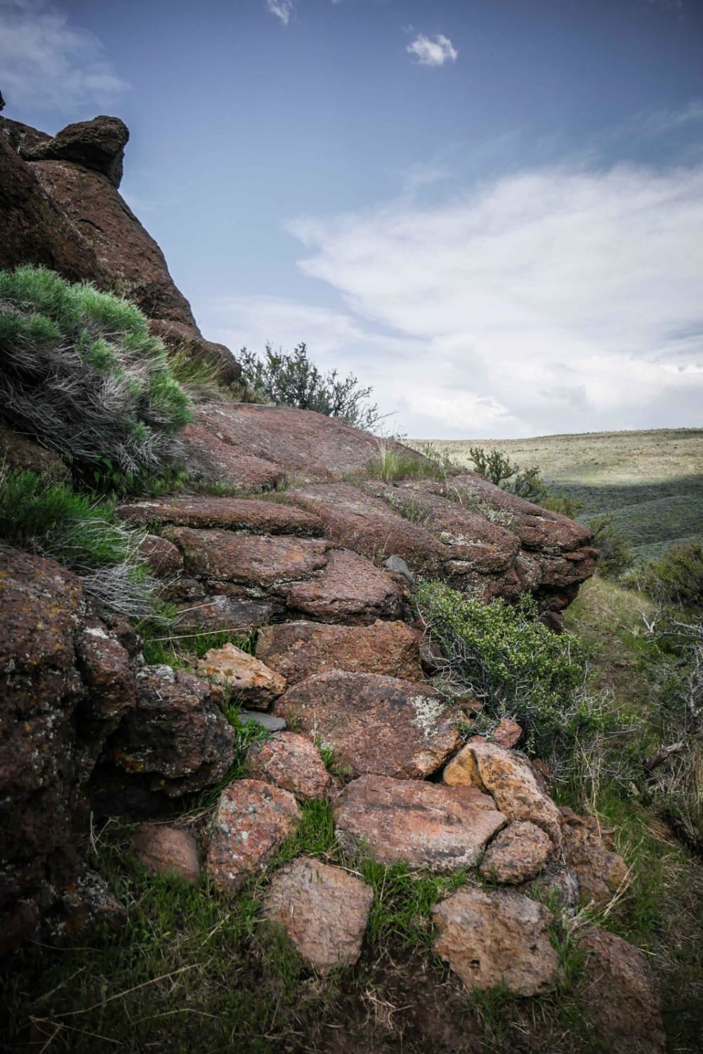
Embark on a thrilling off-road adventure to Kinney Point Lookout via Forest Road 106 in Idaho's Payette National Forest. This trail offers a rugged journey through diverse terrains, culminating in panoramic views of Hells Canyon. The surface varies from packed dirt to loose gravel and occasional rocky sections. As you ascend, you'll pass through areas rich in history, including old mining towns and homesteads, reflecting the region's past. At the summit, you'll be rewarded with breathtaking views of Hells Canyon, the deepest river gorge in North America. The site once housed a fire lookout, and while the structure is no longer standing, interpretive signs provide insight into its history. Nearby, the old townsite of Helena, associated with the Peacock copper mines, adds a historical touch to the scenic overlook. Check the weather forecast before heading out, as conditions can change rapidly in mountainous areas. Carry sufficient water, food, and a first-aid kit. Cell service may be limited, so plan accordingly. This trail offers a blend of adventure, history, and natural beauty, making it a must-visit for off-road enthusiasts in Idaho.
Photos of Kinney Point
Difficulty
The trail is generally easy with a few rough sections. Conditions vary greatly by season.
History
The trail history for Kinney Point is tied closely to the broader development of forest access routes in this part of Idaho's Payette National Forest. Originally, these trails and forest roads were established in the early to mid-20th century to support timber harvesting, fire management, and ranger patrols. Kinney Point itself became a popular destination due to its commanding views and strategic vantage for fire observation, although it never had a formal fire lookout tower like Horse Mountain. Over time, as off-roading and outdoor recreation grew in popularity, the trails to Kinney Point evolved into favored routes for hikers, campers, and four-wheel-drive enthusiasts seeking scenic overlooks and natural solitude. Today, Kinney Point's trail system reflects a blend of historic forest service access paths and modern recreational use, preserving both its natural beauty and its role in forest stewardship.
Status Reports
Kinney Point can be accessed by the following ride types:
- High-Clearance 4x4
- SUV
- SxS (60")
- ATV (50")
- Dirt Bike
Kinney Point Map
Popular Trails
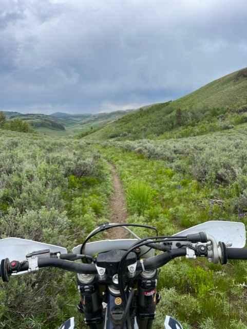
Goose Creek Single Track

Silverleads Ridge
The onX Offroad Difference
onX Offroad combines trail photos, descriptions, difficulty ratings, width restrictions, seasonality, and more in a user-friendly interface. Available on all devices, with offline access and full compatibility with CarPlay and Android Auto. Discover what you’re missing today!