Williams Gap - FSR 346
Total Miles
4.2
Technical Rating
Best Time
Fall
Trail Type
Full-Width Road
Accessible By
Trail Overview
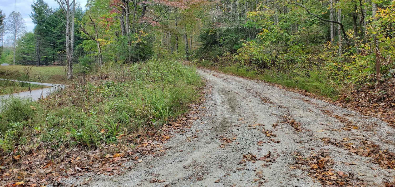
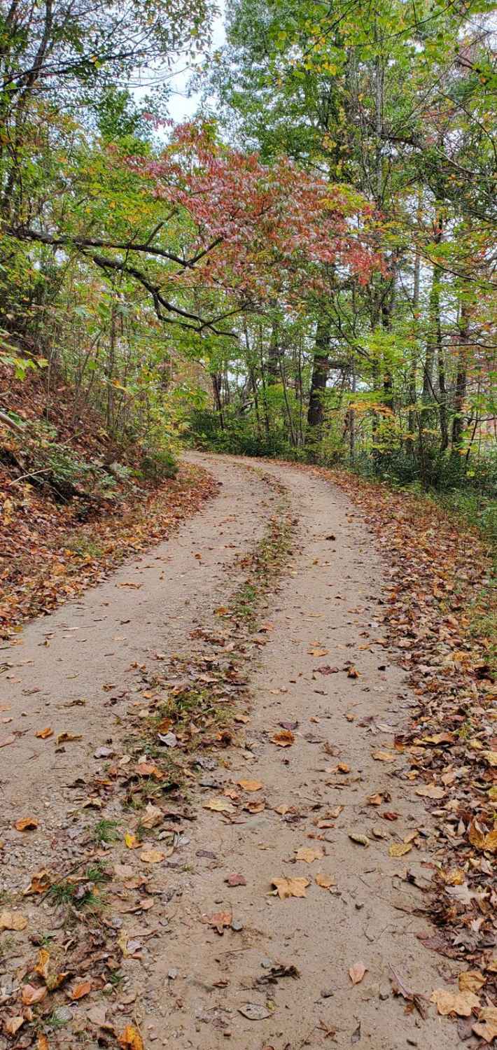
William's Gap, FSR 346, is typical of the forest service roads in the area. It is a reasonably well-maintained gravel road with occasional potholes and small ruts from erosion. The road dead ends, it is an in-and-out FSR, at a camp spot that has cell service. This is a seasonally closed FSR, and the 2024 MVUM map lists the open dates as 3/15 - 1/1. Exact dates are subject to change; please check the current Blue Ridge District MVUM map to verify before you head out. Please report any garbage dump sites you see to the Blue Ridge Ranger District at (706) 745-6928.
Photos of Williams Gap - FSR 346
Difficulty
The vast majority of the road is just a smooth gravel road, however there are small rock outcroppings in spots and occasional potholes and small ruts from erosion.
Status Reports
Williams Gap - FSR 346 can be accessed by the following ride types:
- High-Clearance 4x4
- SUV
Williams Gap - FSR 346 Map
Popular Trails

Fortenberry - FS 395
Charlie Elliott

Montgomery Creek - FS 141

Stanley Gap - FSR 338
The onX Offroad Difference
onX Offroad combines trail photos, descriptions, difficulty ratings, width restrictions, seasonality, and more in a user-friendly interface. Available on all devices, with offline access and full compatibility with CarPlay and Android Auto. Discover what you’re missing today!