Sugar Hill Road
Total Miles
2.0
Technical Rating
Best Time
Spring, Summer, Winter, Fall
Trail Type
Full-Width Road
Accessible By
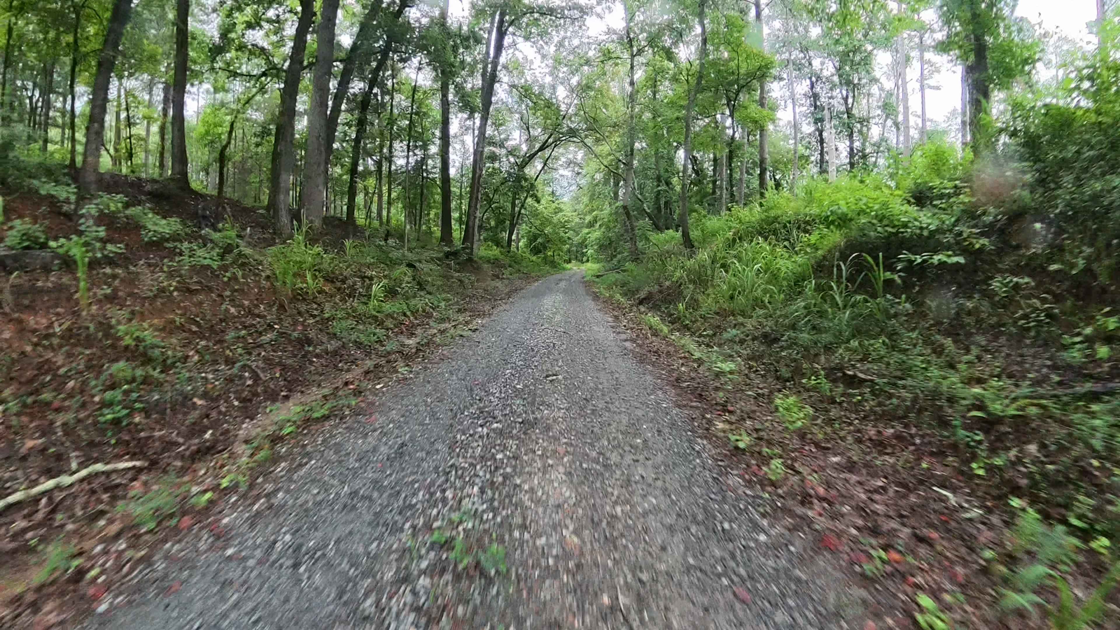
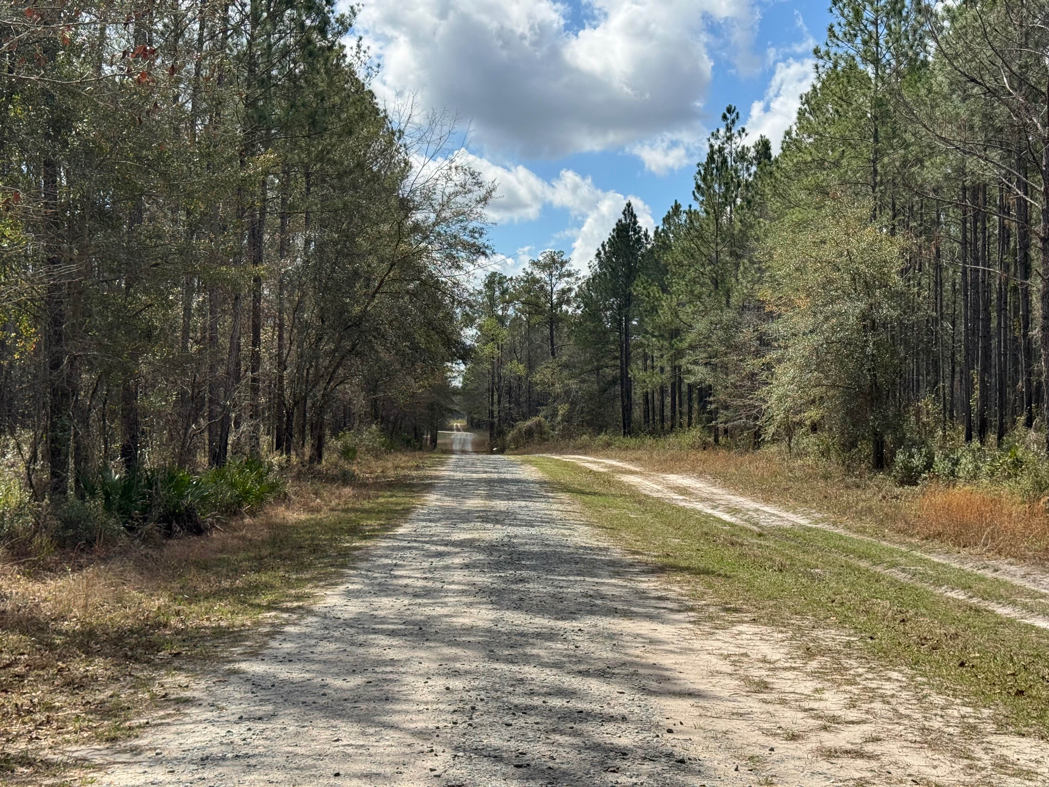
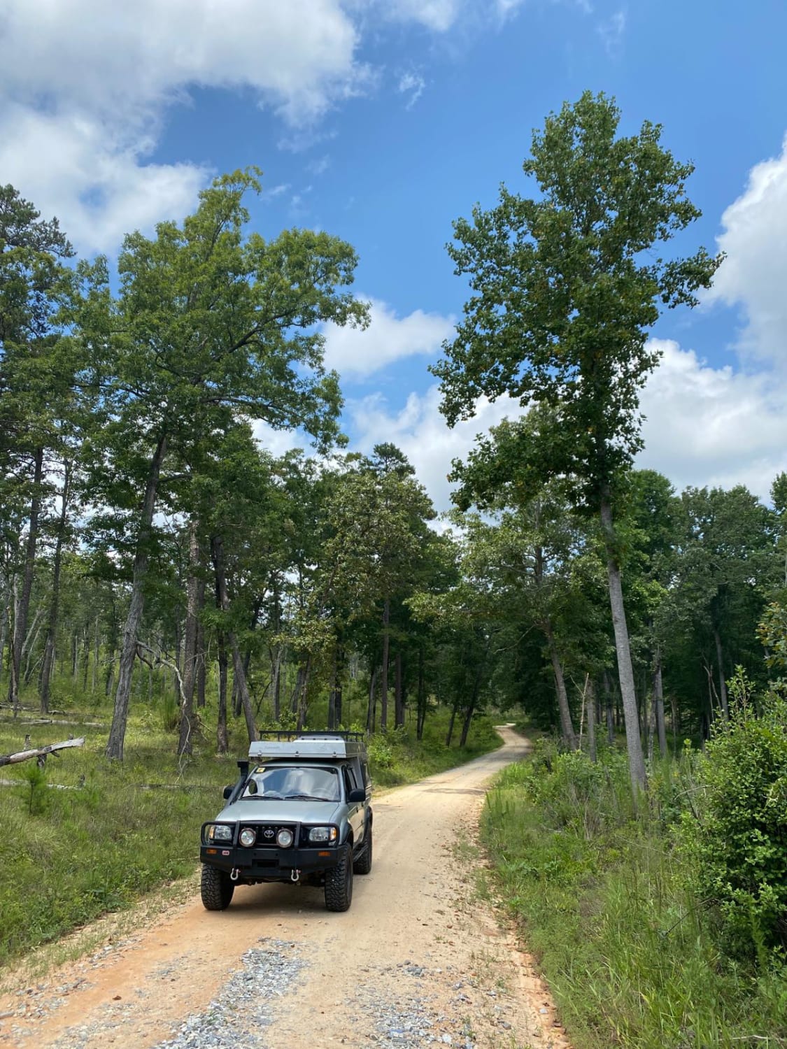
Trail Overview
This trail runs partly through the Piedmont National Wildlife Refuge and highlights the region's characteristic terrain, primarily gravel with scattered water and mud holes that can vary in size depending on recent weather conditions. Portions of the route pass through private property, so it is essential for visitors to remain on the designated roadway at all times. The drive is generally smooth and suitable for most skill levels, making it an enjoyable and relaxed outing. Access is limited to licensed, street-legal vehicles only, and because the trail lies within the Wildlife Refuge, all visitors are required to carry a valid hunting, fishing, or access permit.
Photos of Sugar Hill Road

Difficulty
This is a simple, single-lane gravel trail with occasional small water or mud holes, most of which are easily avoidable. In a few spots, there are pull-off areas along the roadside that allow vehicles to pass one another. The route is smooth and straightforward, making it suitable for nearly all licensed vehicles without difficulty.
Status Reports
Sugar Hill Road can be accessed by the following ride types:
- High-Clearance 4x4
- SUV
Sugar Hill Road Map
Popular Trails

Nimblewill Road
Hinson Road
Beasley Knob Trail 93G
The onX Offroad Difference
onX Offroad combines trail photos, descriptions, difficulty ratings, width restrictions, seasonality, and more in a user-friendly interface. Available on all devices, with offline access and full compatibility with CarPlay and Android Auto. Discover what you’re missing today!