Laurel Branch - FS 322
Total Miles
1.5
Technical Rating
Best Time
Spring, Summer, Fall, Winter
Trail Type
Full-Width Road
Accessible By
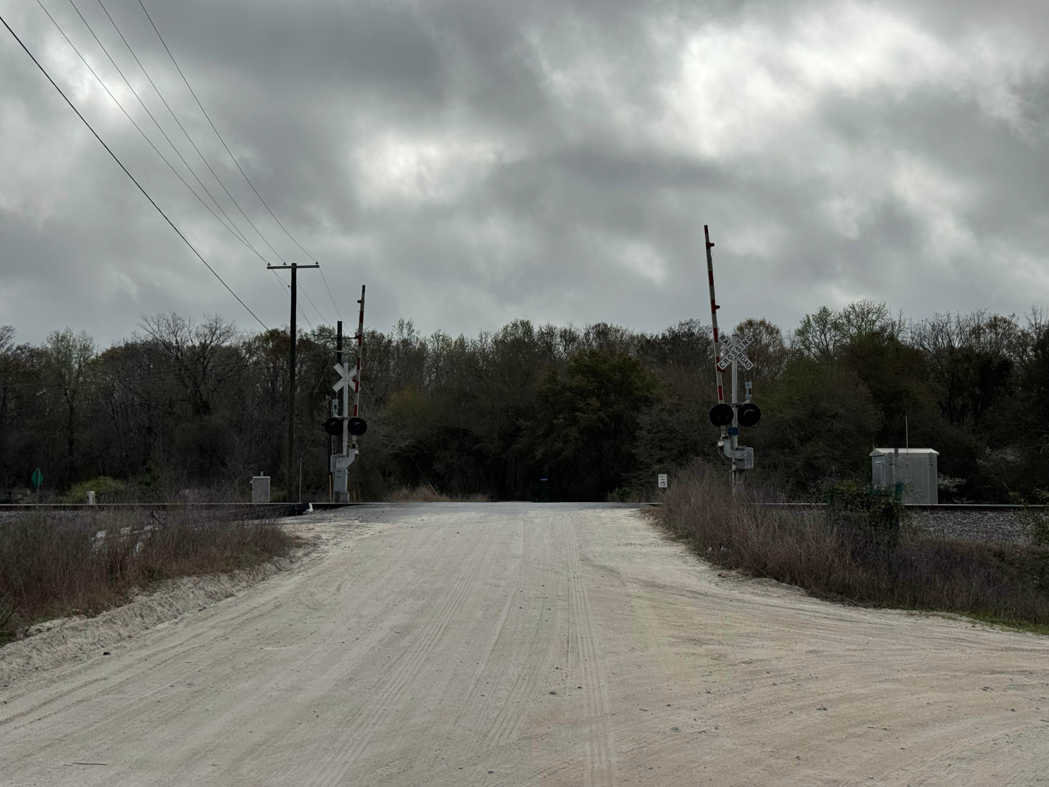
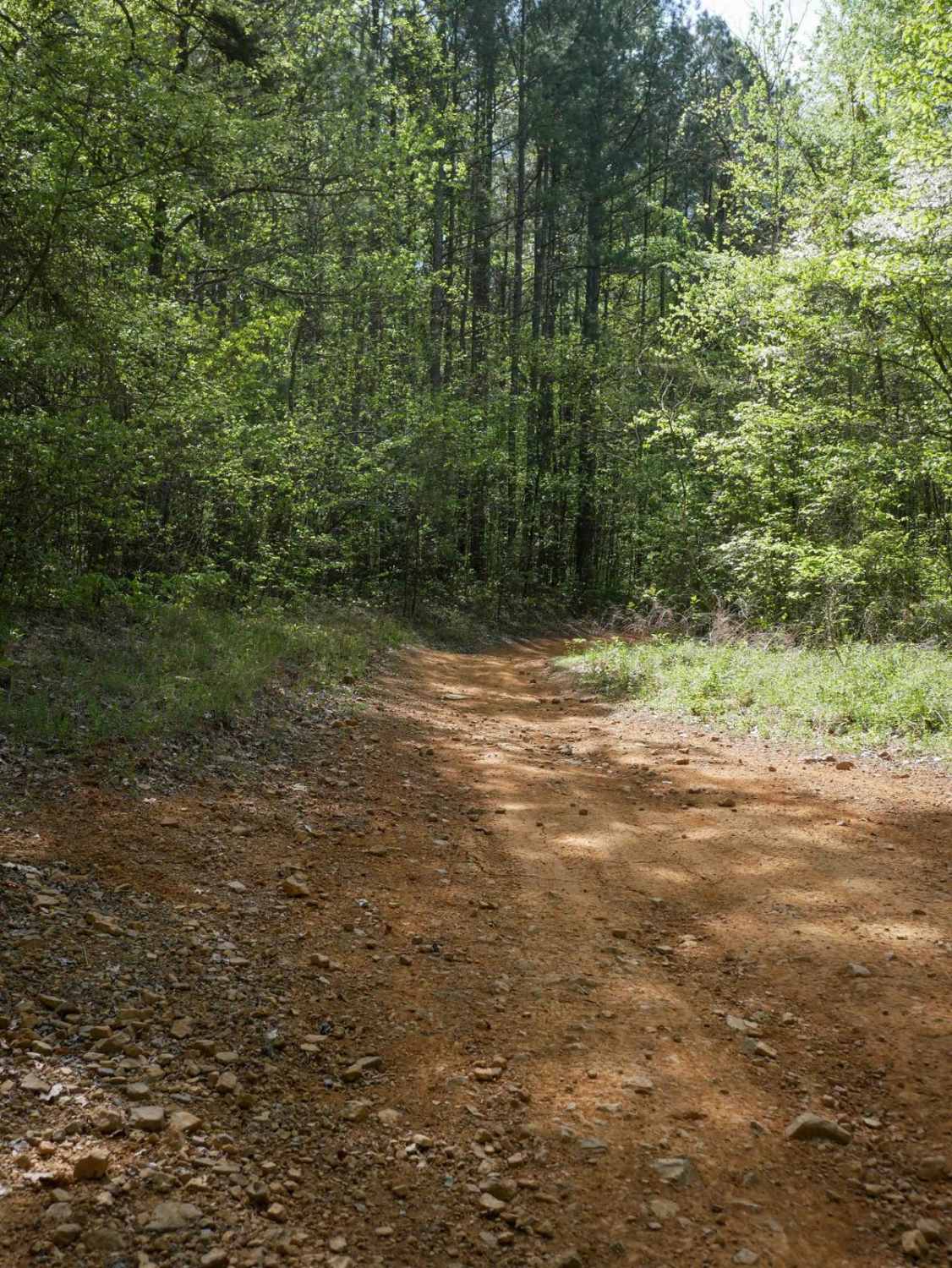
Trail Overview
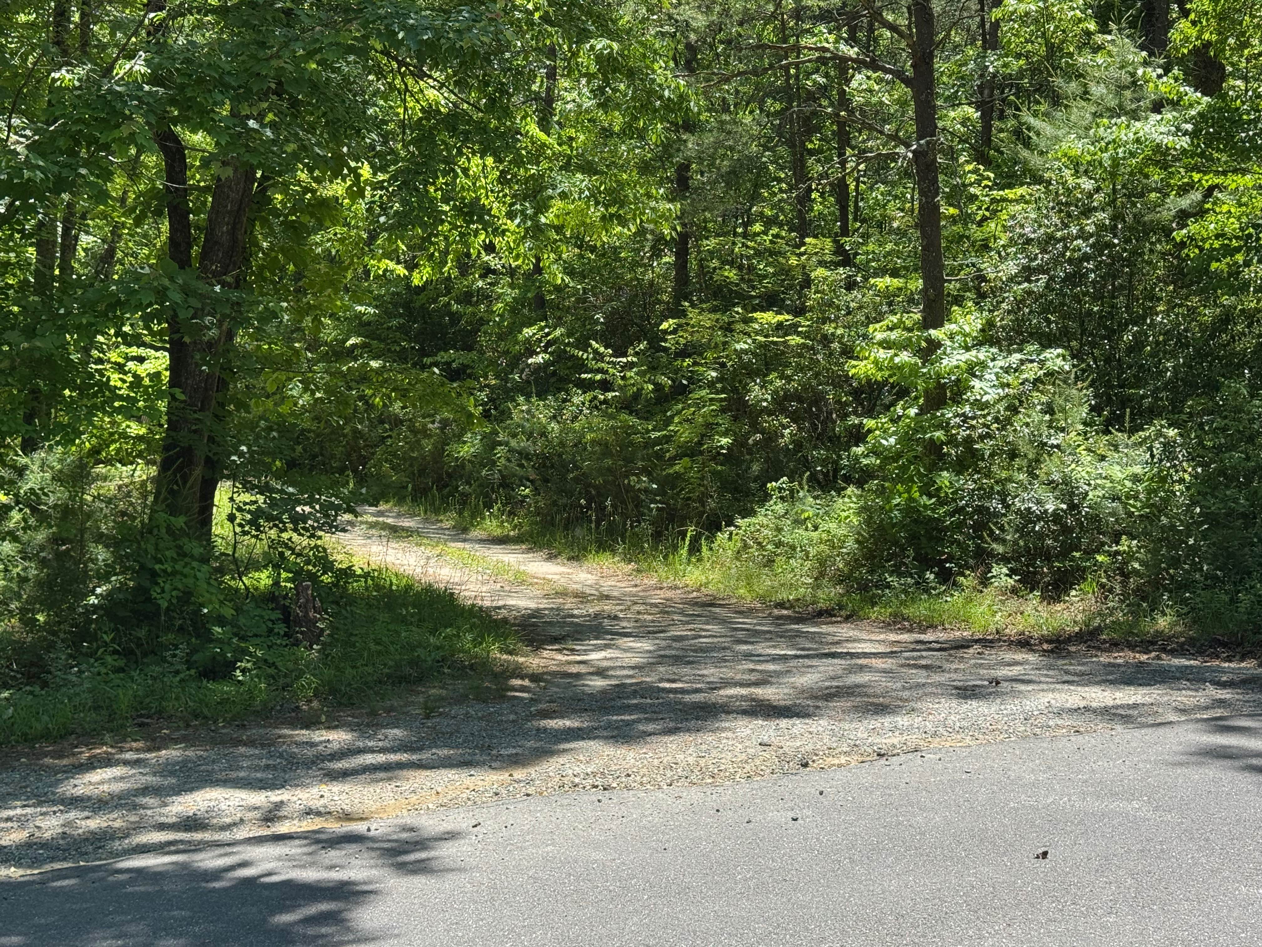
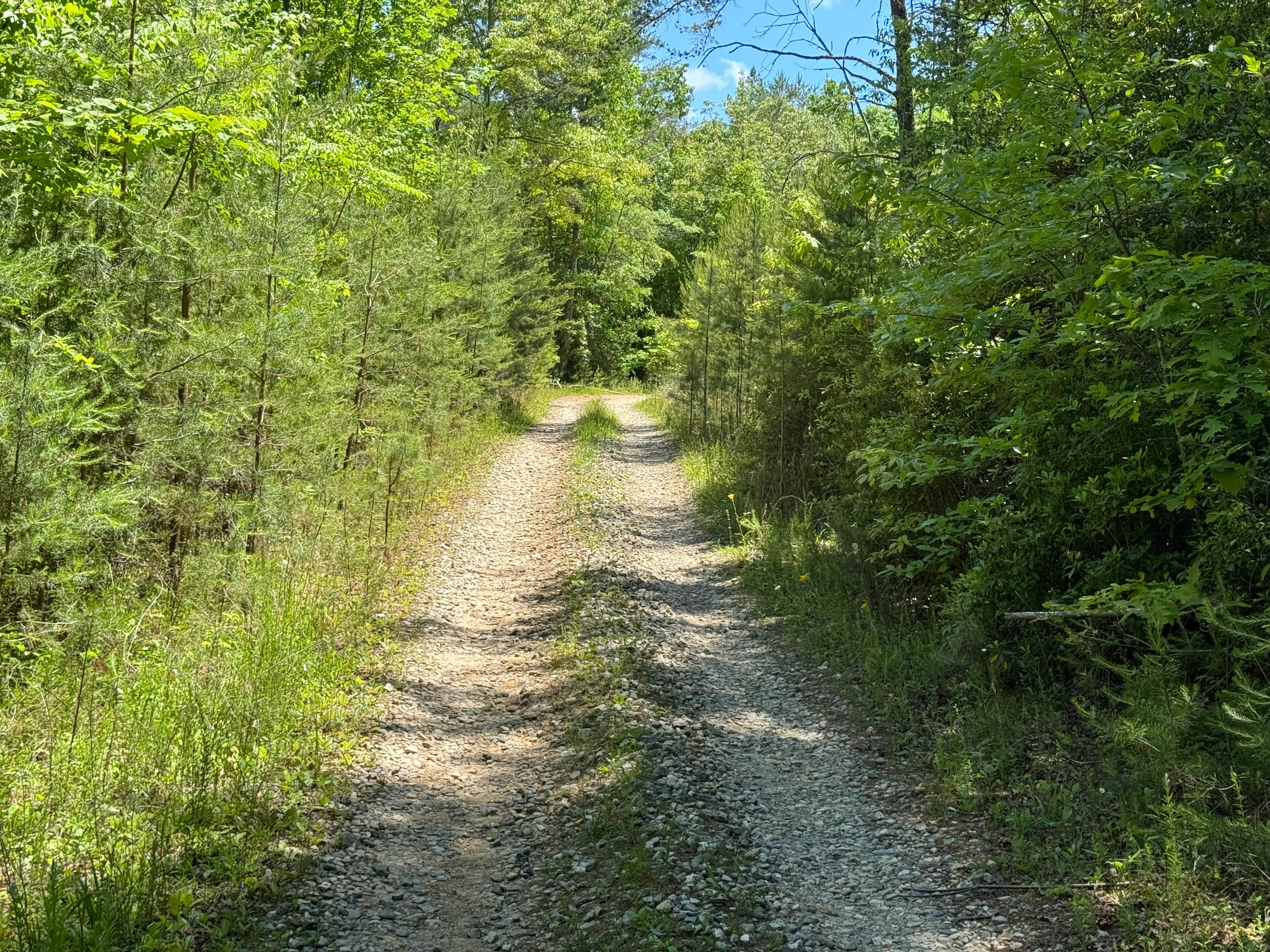
Laurel Branch - FS 322 is a 1.4-mile out-and-back route that follows a packed dirt and gravel surface through heavily forested terrain. The trail remains a tight single lane for most of its length and is lightly maintained, giving it the character of a narrow forest road. Despite its confined width, the route carries an easy difficulty rating and provides straightforward travel for appropriately equipped vehicles. A quiet forest setting defines much of the drive, and the narrow corridor may result in possible pinstripes from encroaching vegetation along the trail. The route terminates at an open area at the end, providing a clear turnaround point before retracing the trail back to the start. There is a gate blocking access to the remainder of the trail. Access is restricted to highway-legal vehicles only. Drivers should be prepared for the tight single-lane conditions and remain attentive to vegetation and other forest road users throughout the route.
Photos of Laurel Branch - FS 322
Difficulty
Single lane road with places to pass.
Status Reports
Laurel Branch - FS 322 can be accessed by the following ride types:
- High-Clearance 4x4
- SUV
Laurel Branch - FS 322 Map
Popular Trails
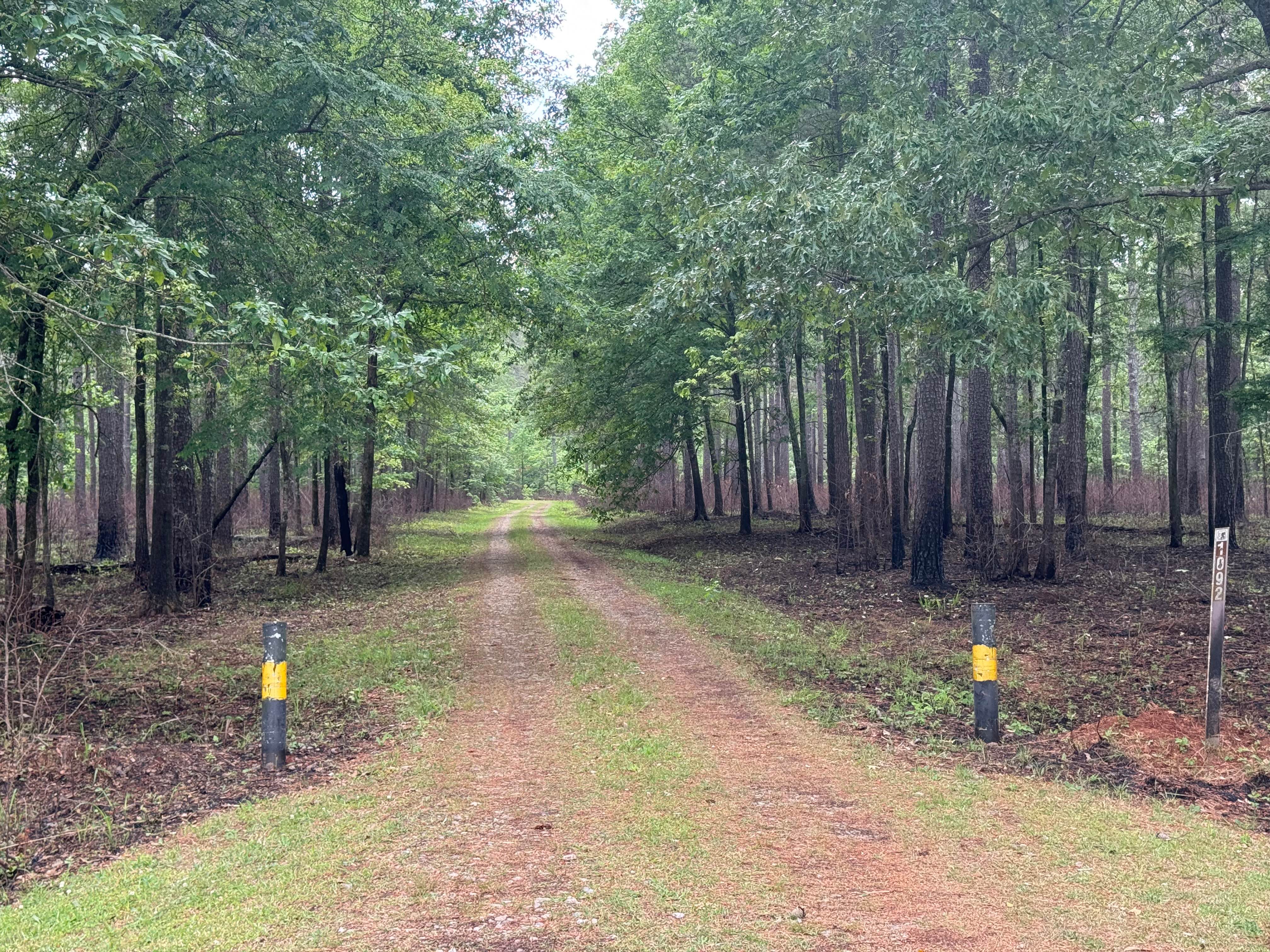
Vinning - FS 1092
Strawberry Mountain - Forest Road 260
Fishing Road
The onX Offroad Difference
onX Offroad combines trail photos, descriptions, difficulty ratings, width restrictions, seasonality, and more in a user-friendly interface. Available on all devices, with offline access and full compatibility with CarPlay and Android Auto. Discover what you’re missing today!