Wolford Hills
Total Miles
1.4
Technical Rating
Best Time
Spring, Summer, Fall
Trail Type
Single Track
Accessible By
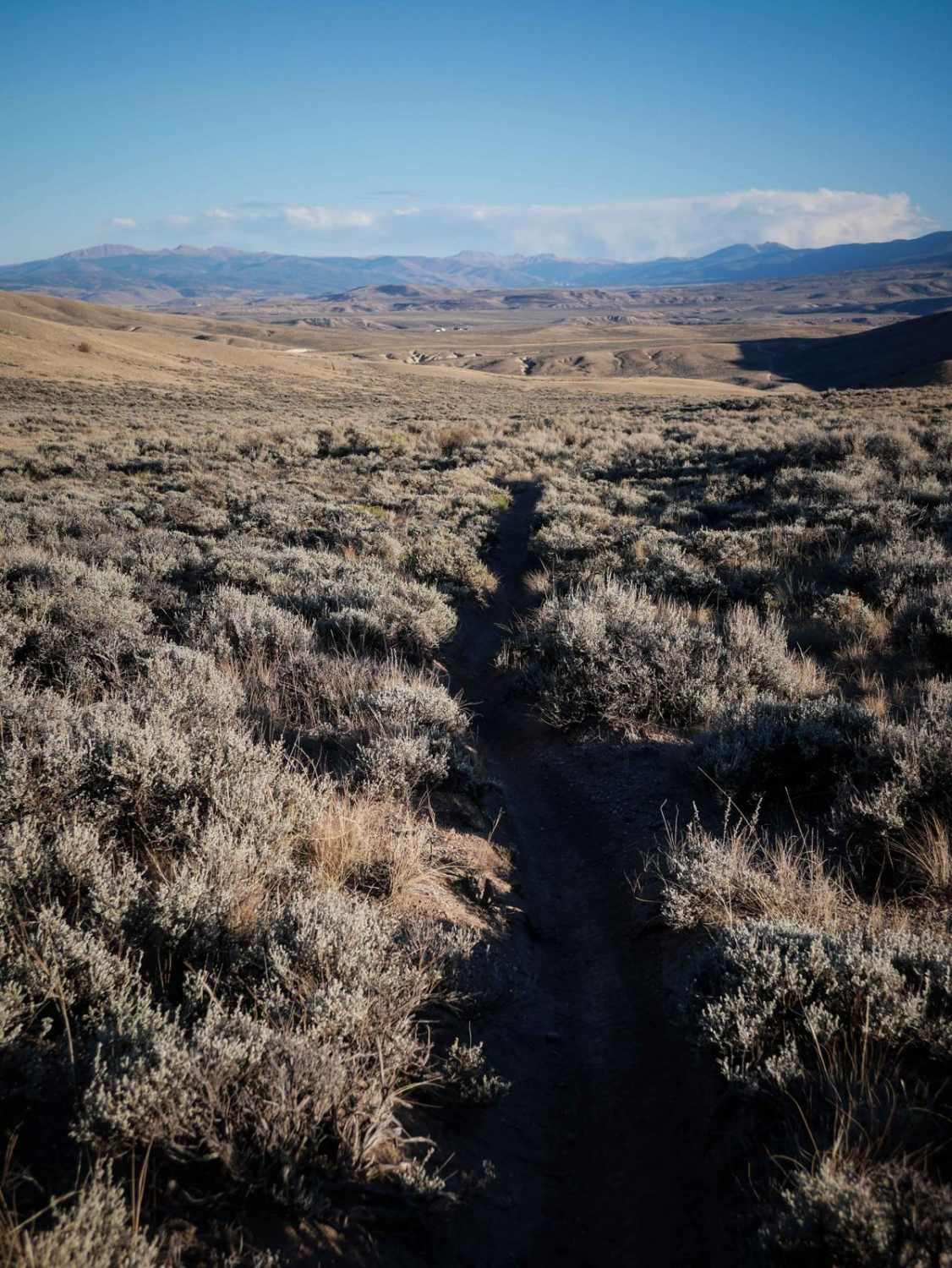
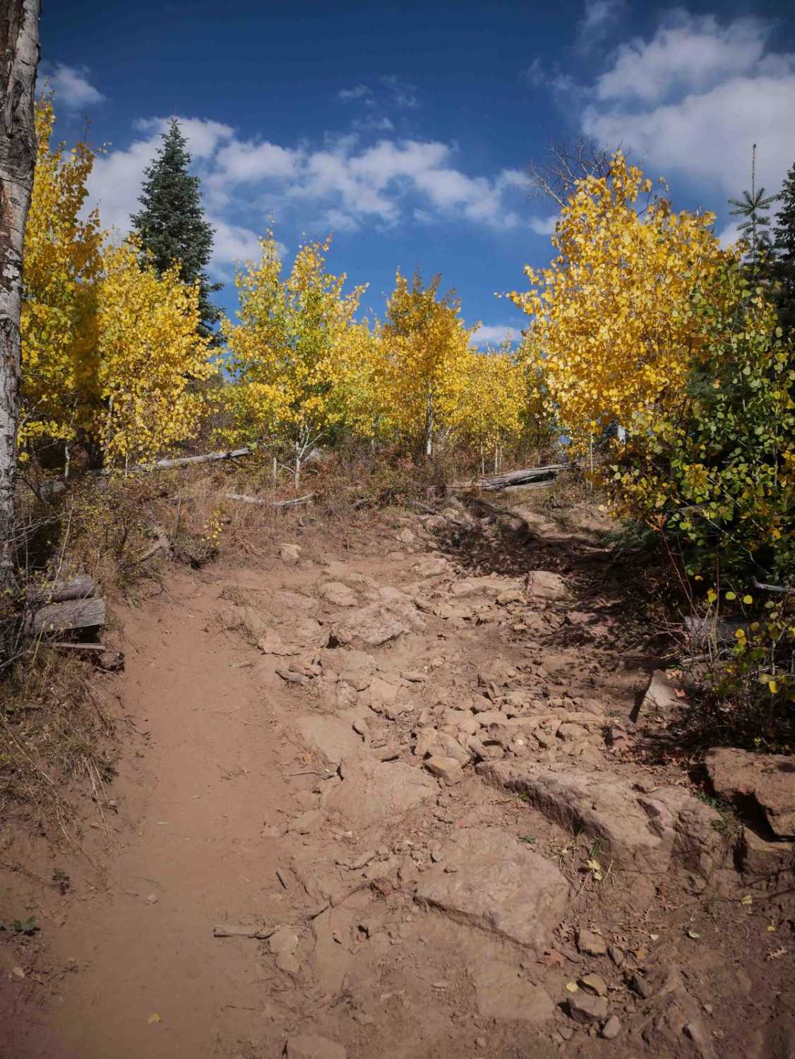
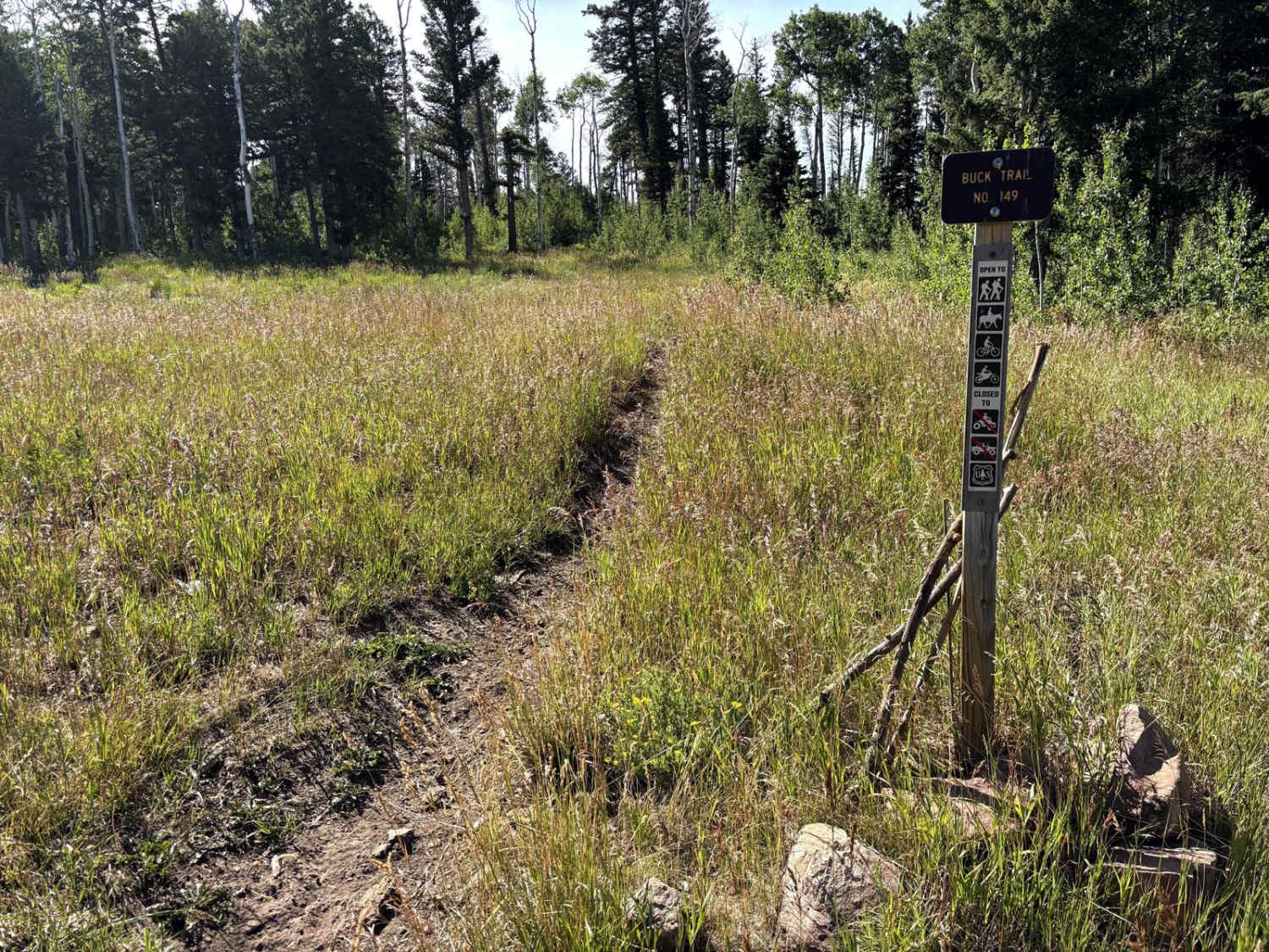
Trail Overview
This 1.4-mile-long single track goes through the rolling sagebrush hills and valleys of the Wolford Riding Area. As it leaves from the north end, it's an easy narrow trail in the flats, with the hills in the distance. It lightly snakes through the bushes, but pretty much goes straight and fast. It turns right on a dirt road, then makes another right on another segment of a single track that is marked with a trail sign. As it goes south, the trail goes along a fence line on a wide track, up and over the rolling hills. It has big bumps and dips to watch out for, and a section of deep whoops and brake bumps. The whoops are the hardest part of the trail. There are no rocky sections or big obstacles. The trail ends on another dirt road that will take you back to the staging area.
Photos of Wolford Hills

Difficulty
This is an easy desert single track that has only small features like whoops and brake bumps and is otherwise easy the entire route.
Status Reports
Wolford Hills can be accessed by the following ride types:
- Dirt Bike
Wolford Hills Map
Popular Trails


Willow Pass Trail
The onX Offroad Difference
onX Offroad combines trail photos, descriptions, difficulty ratings, width restrictions, seasonality, and more in a user-friendly interface. Available on all devices, with offline access and full compatibility with CarPlay and Android Auto. Discover what you’re missing today!