FS 671 Upper Illinois Road
Total Miles
6.6
Technical Rating
Best Time
Spring, Summer, Fall
Trail Type
Full-Width Road
Accessible By
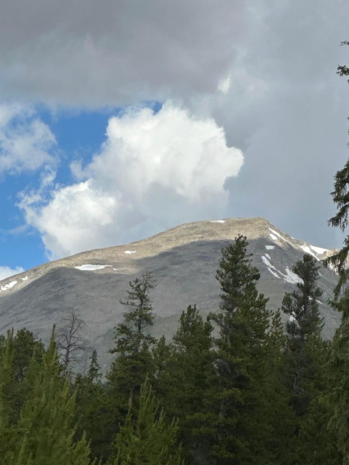
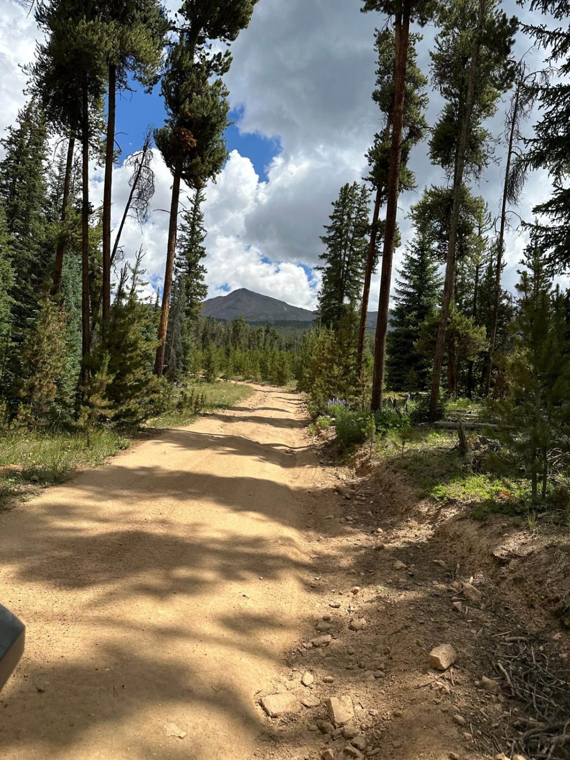
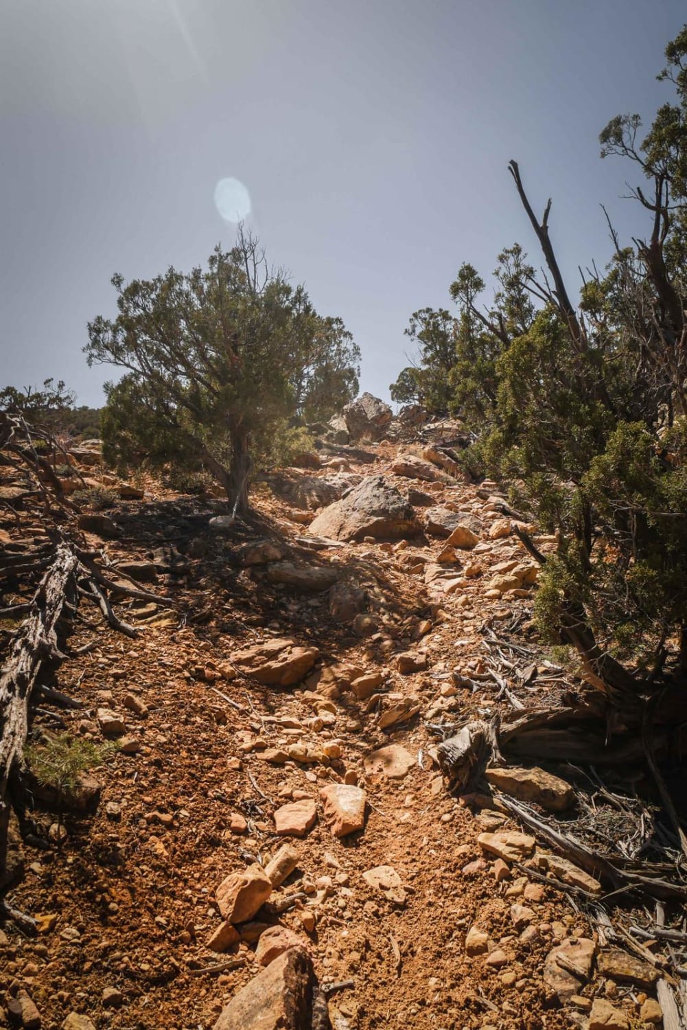
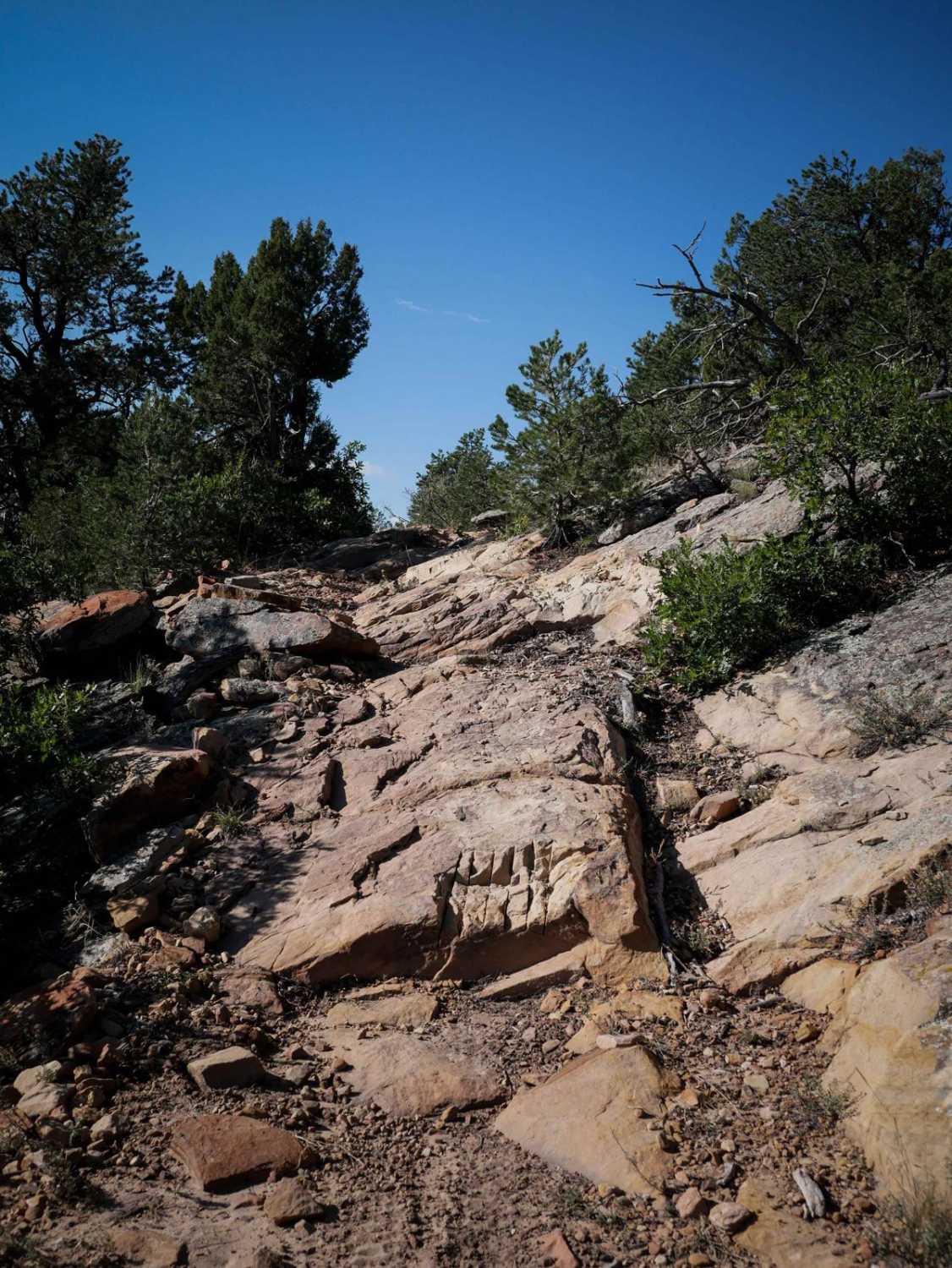
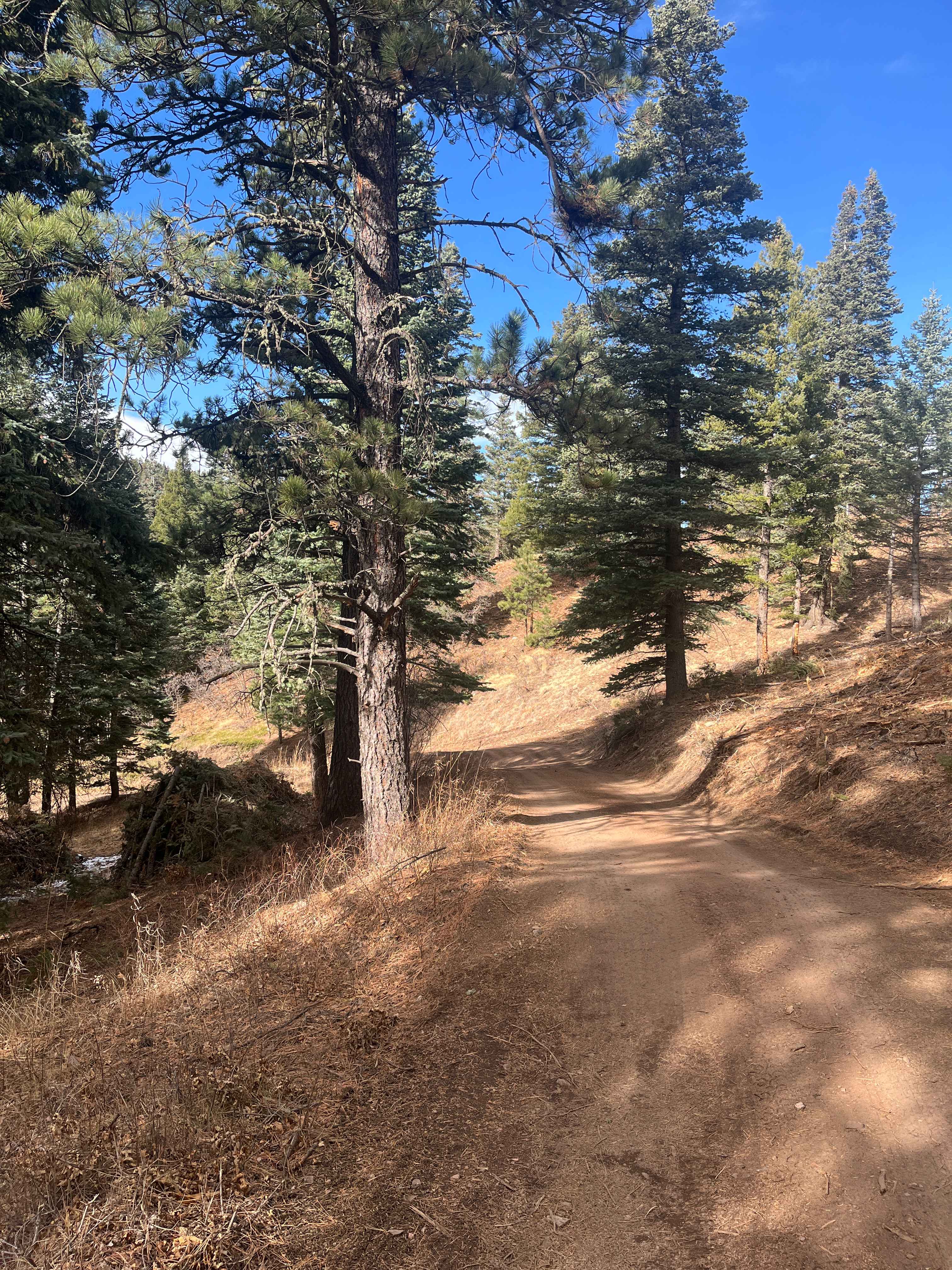
Trail Overview
This generally easy route travels east from Taylor River Road and gradually climbs towards the 13,845-foot Ice Mountain. Once the trail enters the pine forest, it levels out before climbing more steeply and becoming more rocky. There are gorgeous views of the Taylor River Valley and Reservoir. It ends, for most vehicles, at 6.7 miles. ATVs under 50 inches, dirt bikers, hikers, bikers, and others can continue on FS 4141A for half a mile to Lunch Lake.
Photos of FS 671 Upper Illinois Road
Difficulty
There are some uneven areas due to rocks and erosion. There are also steep drop-offs.
Status Reports
FS 671 Upper Illinois Road can be accessed by the following ride types:
- High-Clearance 4x4
- SUV
- SxS (60")
- ATV (50")
- Dirt Bike
FS 671 Upper Illinois Road Map
Popular Trails
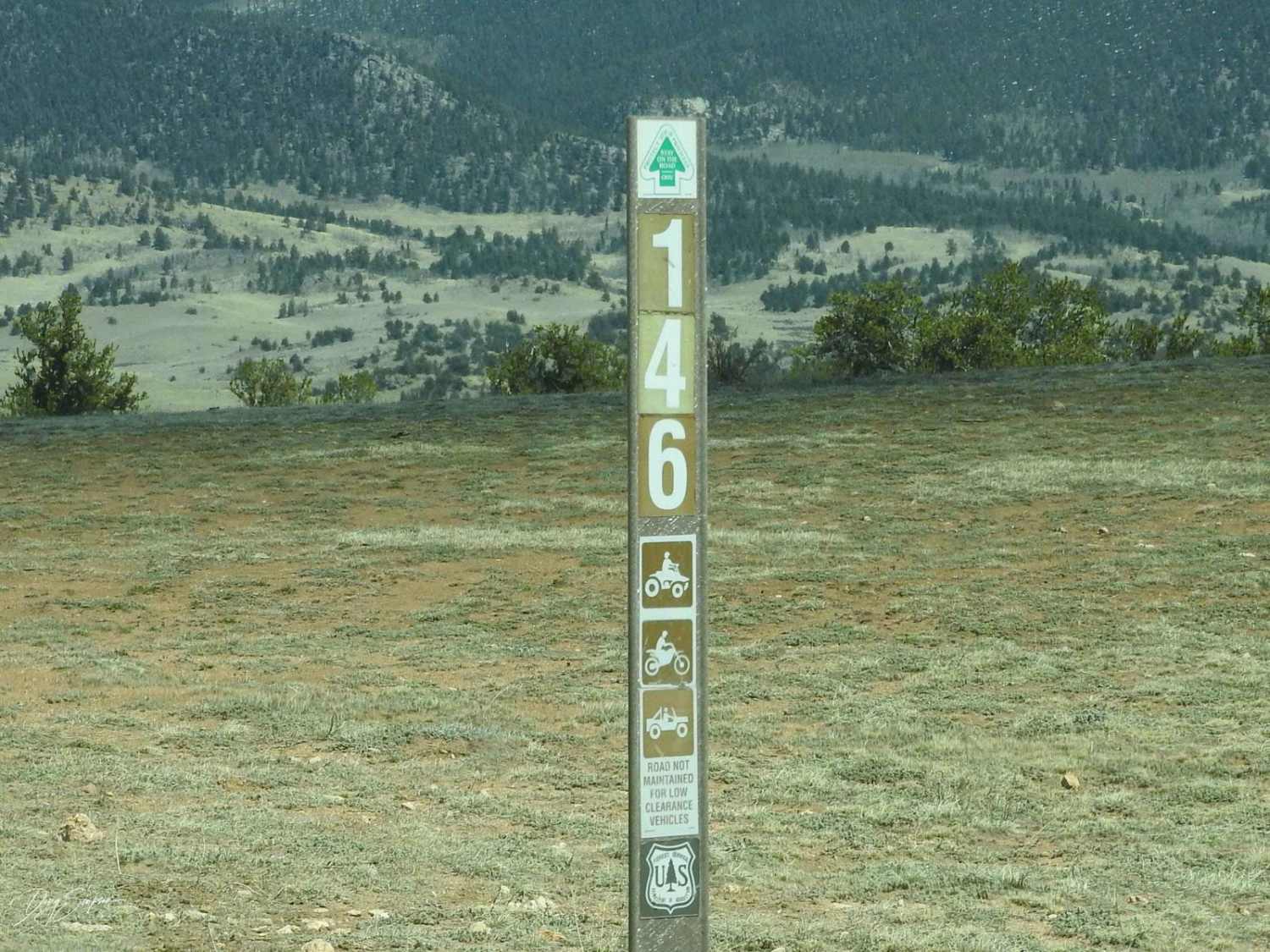
Eagle Rock Road Forest Road 146
The onX Offroad Difference
onX Offroad combines trail photos, descriptions, difficulty ratings, width restrictions, seasonality, and more in a user-friendly interface. Available on all devices, with offline access and full compatibility with CarPlay and Android Auto. Discover what you’re missing today!