Williams Fork Road - FS 138
Total Miles
5.6
Technical Rating
Best Time
Spring, Summer, Fall
Trail Type
Full-Width Road
Accessible By
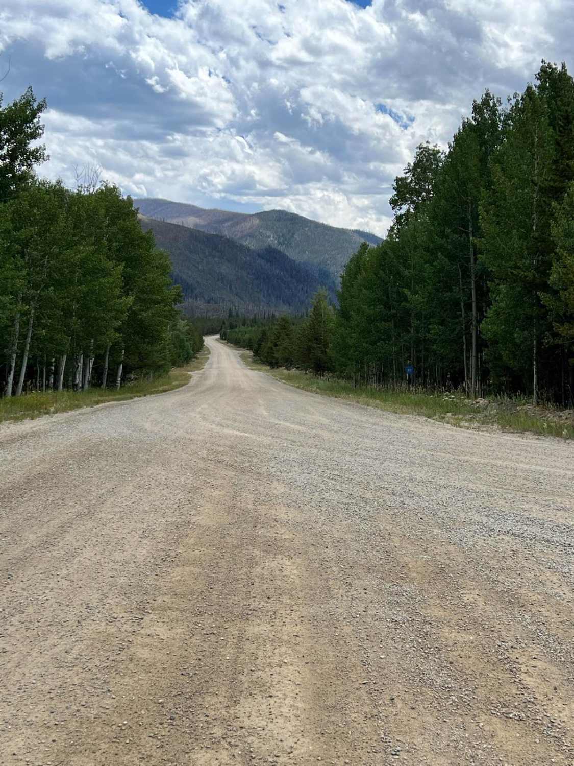
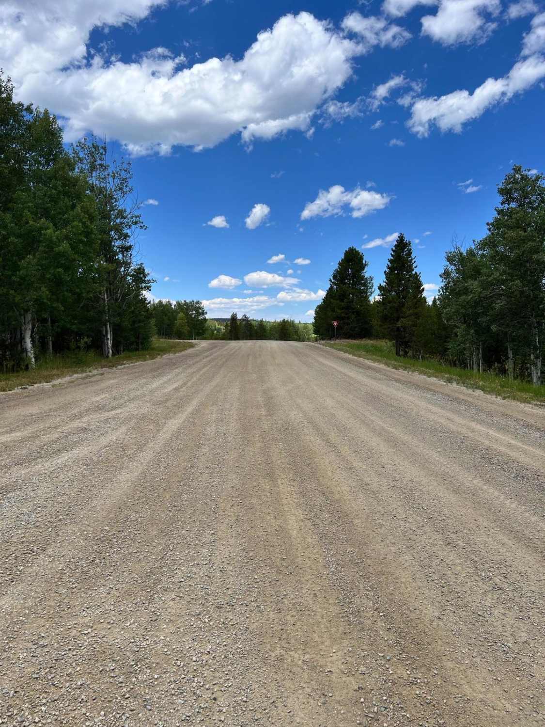
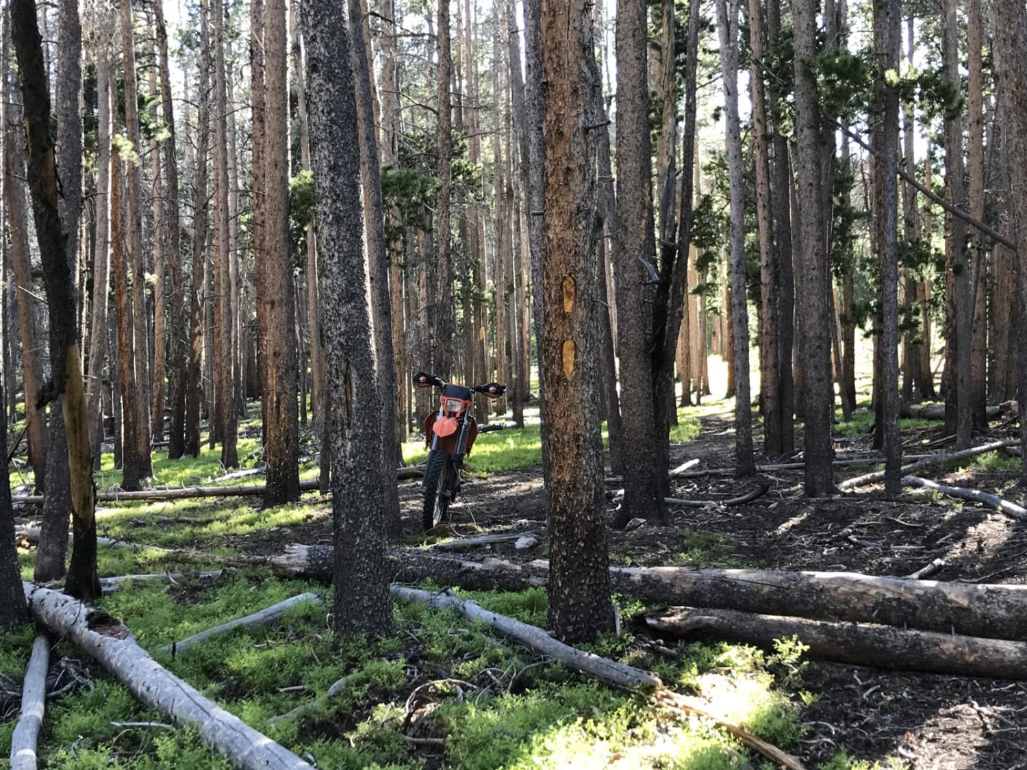
Trail Overview
Williams Fork Road (County Road 30 / Forest Service Road 138) is a wide, well-graded gravel road that serves as a scenic and accessible route through a mix of public and private lands in Grand County. The road begins off County Road 3 and travels south through rolling forested terrain and open views of the Williams Fork Mountains. Though mostly two lanes, the road sees occasional industrial traffic tied to the nearby Henderson Mill, and signage marks transitions between public and private stretches. Along the route, travelers will find access to the Ute Trailhead, as well as a turnoff for FS 141.1, which leads to the remote Kinney Creek Trailhead. The road ends near the base of the Henderson Mill conveyor system, where it narrows to a single lane, one-way tunnel. At the end, drivers can turn east to reach South Fork and Sugarloaf Campgrounds, or west to begin the South Fork Road trail (FS 142.1).
Photos of Williams Fork Road - FS 138
Difficulty
This trail is a two-lane, well-maintained gravel road and is free from obstacles.
History
This corridor crosses land historically used by the Ute people before becoming a key logging and mining access route in the 20th century. The Henderson Mill, still active today, was built in the 1970s and processes molybdenum from the Climax Mine. The nearby Ute Trail traces ancient tribal travel routes.
Status Reports
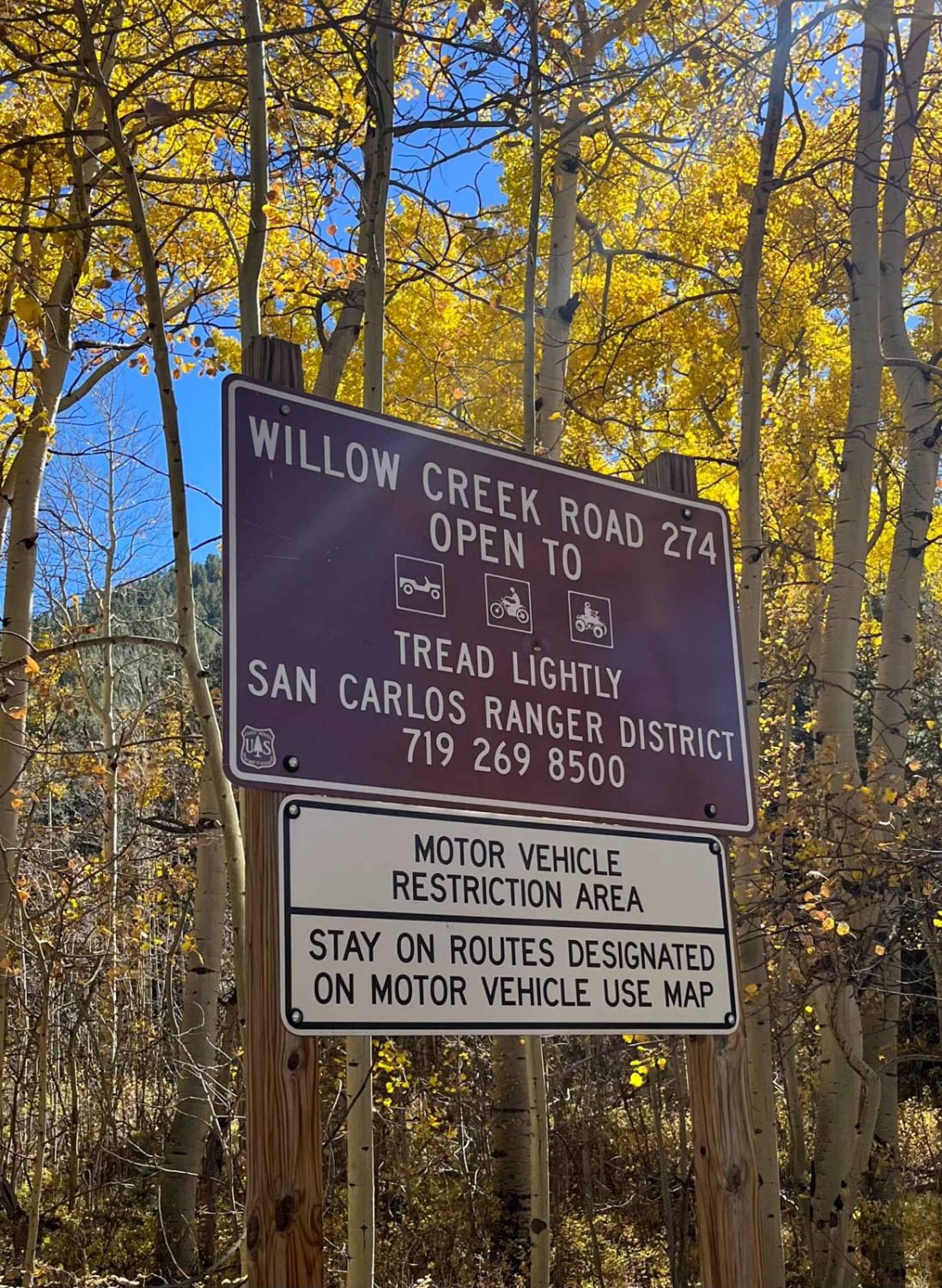
Williams Fork Road - FS 138 can be accessed by the following ride types:
- High-Clearance 4x4
- SUV
Williams Fork Road - FS 138 Map
Popular Trails
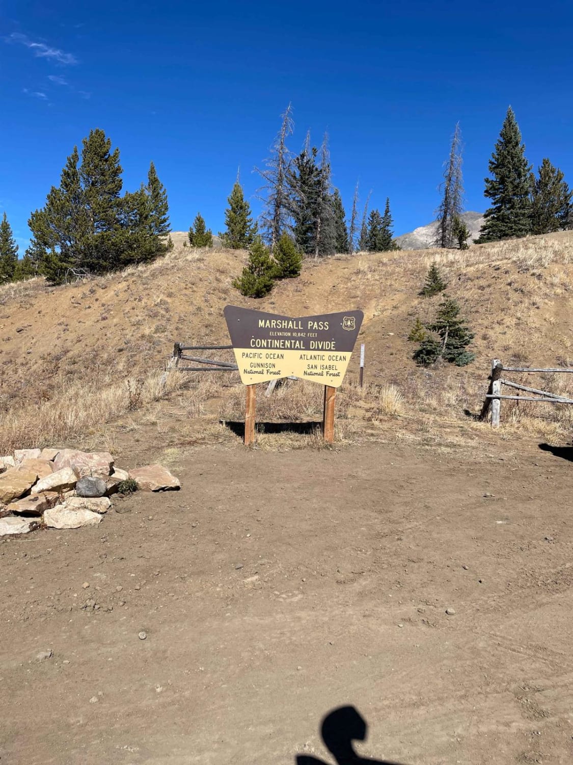
Marshall Pass
Second Newlins SO. Road
The onX Offroad Difference
onX Offroad combines trail photos, descriptions, difficulty ratings, width restrictions, seasonality, and more in a user-friendly interface. Available on all devices, with offline access and full compatibility with CarPlay and Android Auto. Discover what you’re missing today!