Second Newlins SO. Road
Total Miles
1.1
Technical Rating
Best Time
Spring, Summer, Fall, Winter
Trail Type
Full-Width Road
Accessible By
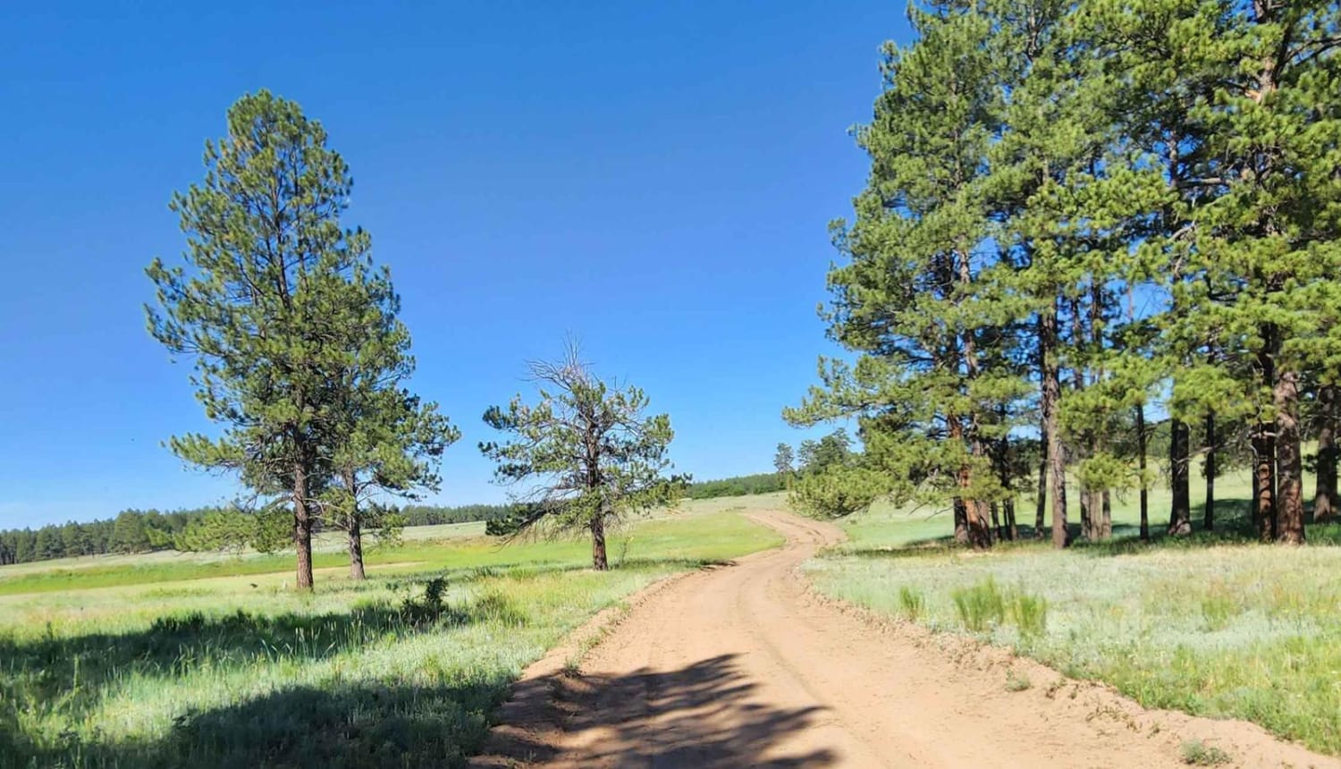
Trail Overview
This road gets rocky in places, requiring 4WD. At the National Forest boundary, there is a sign that calls the road Willow Creek Road 274. Once you get on top of the ridge, the road is fairly easy. You will pass through areas of aspens, pines, and open meadows.
Photos of Second Newlins SO. Road
Difficulty
The road has some rocky areas that require 4WD.
Status Reports
Second Newlins SO. Road can be accessed by the following ride types:
- High-Clearance 4x4
- SUV
- SxS (60")
- ATV (50")
- Dirt Bike
Second Newlins SO. Road Map
Popular Trails
Rancho Durango Bypass

Saylor Park Rd FS 325
The onX Offroad Difference
onX Offroad combines trail photos, descriptions, difficulty ratings, width restrictions, seasonality, and more in a user-friendly interface. Available on all devices, with offline access and full compatibility with CarPlay and Android Auto. Discover what you’re missing today!