West Bear 932
Total Miles
4.2
Technical Rating
Best Time
Summer, Fall
Trail Type
Single Track
Accessible By
Trail Overview
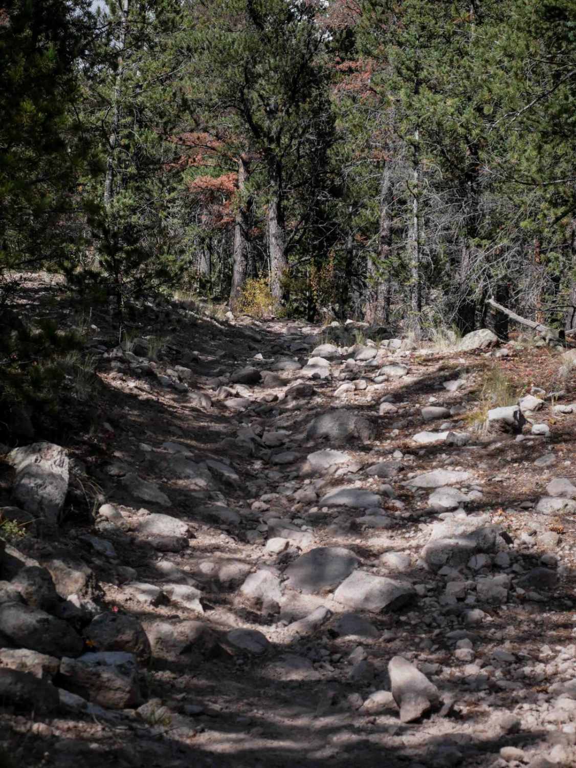
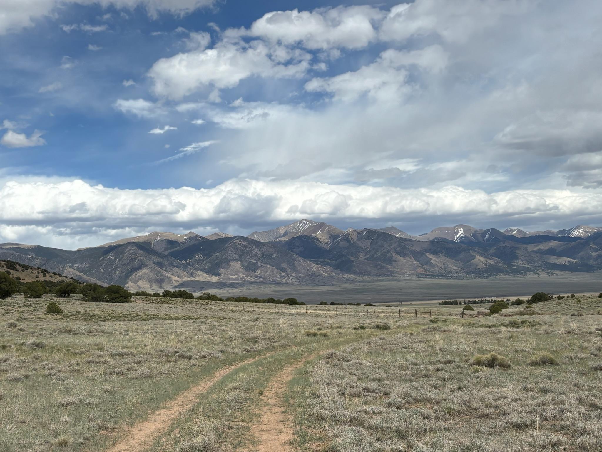
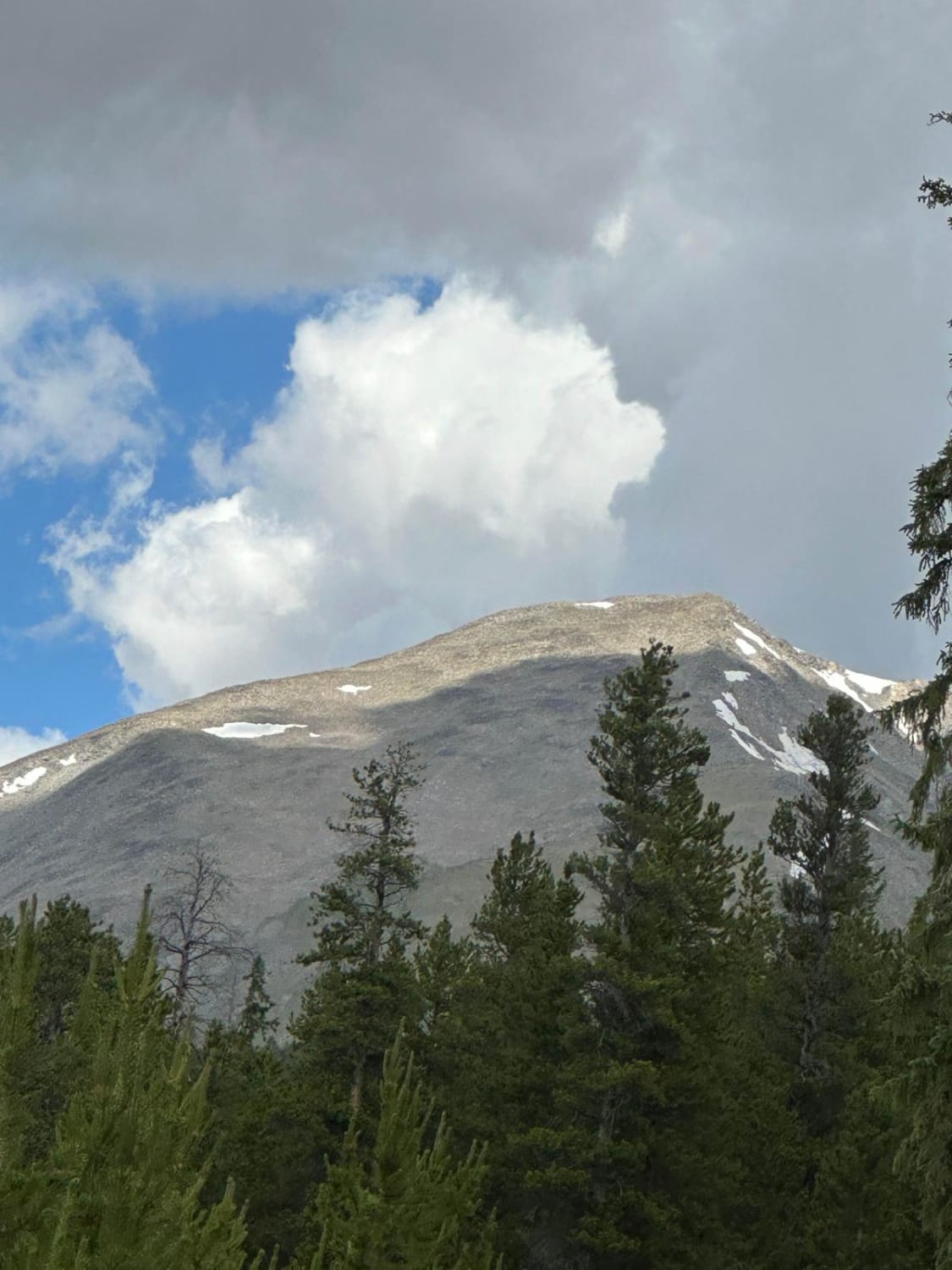
This is a difficult single track through the Rio Grande National Forest that gains 2,000 feet of elevation from south to north. The south end starts in a grassy meadow at 9,000 feet, and heads into the trees. It crosses a tiny stream crossing, then gets pretty rocky right away as it starts climbing up the mountain. It's a wide path with a surface of loose dirt covered in loose rocks and, as it climbs steeply, making it pretty difficult. You really have to put weight on the pegs to keep traction on the climb. The entire 4 miles are a constant climb up, with some sections completely covered in softball-sized rocks, with small ledges. It goes through a gate at the top of the climb. You have to do some tight maneuvering through the trees, but there are also fast sections through meadows for some relief from the rocks. It widens up to a road at the north end before ending on Viers Creek Road.
Photos of West Bear 932

Difficulty
This is an upper intermediate difficulty because a large portion of this trail is a long sustained loose climb full of rocks, loose dirt, boulders, and rock ledges, which will be a good challenge for average riders.
Status Reports
West Bear 932 can be accessed by the following ride types:
- Dirt Bike
West Bear 932 Map
Popular Trails
Clayton Road
Roubideau Jeep Trail
FS 671 Upper Illinois Road

Spring Creek ATV Trail (East)
The onX Offroad Difference
onX Offroad combines trail photos, descriptions, difficulty ratings, width restrictions, seasonality, and more in a user-friendly interface. Available on all devices, with offline access and full compatibility with CarPlay and Android Auto. Discover what you’re missing today!