Spring Creek ATV Trail (East)
Total Miles
4.3
Technical Rating
Best Time
Summer, Fall
Trail Type
50" Trail
Accessible By
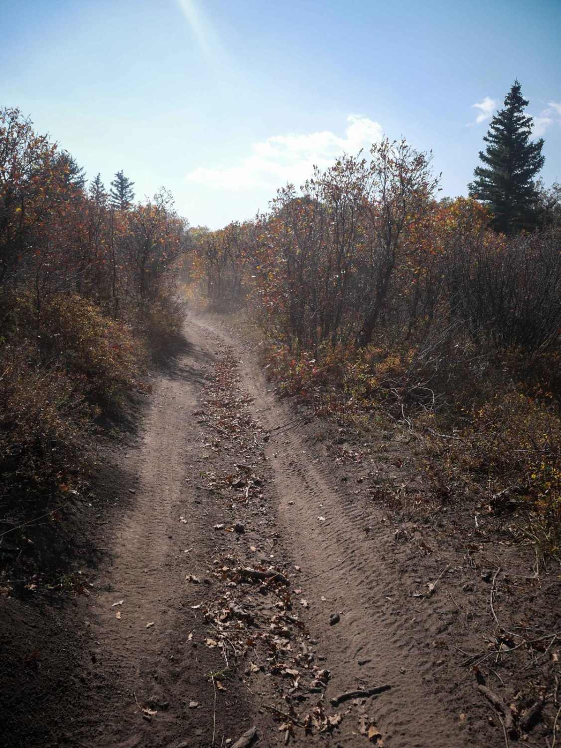
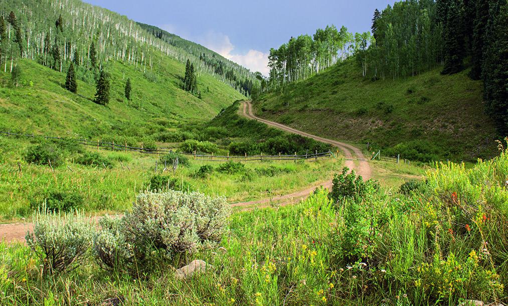
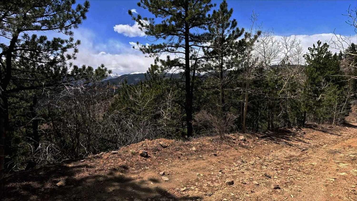
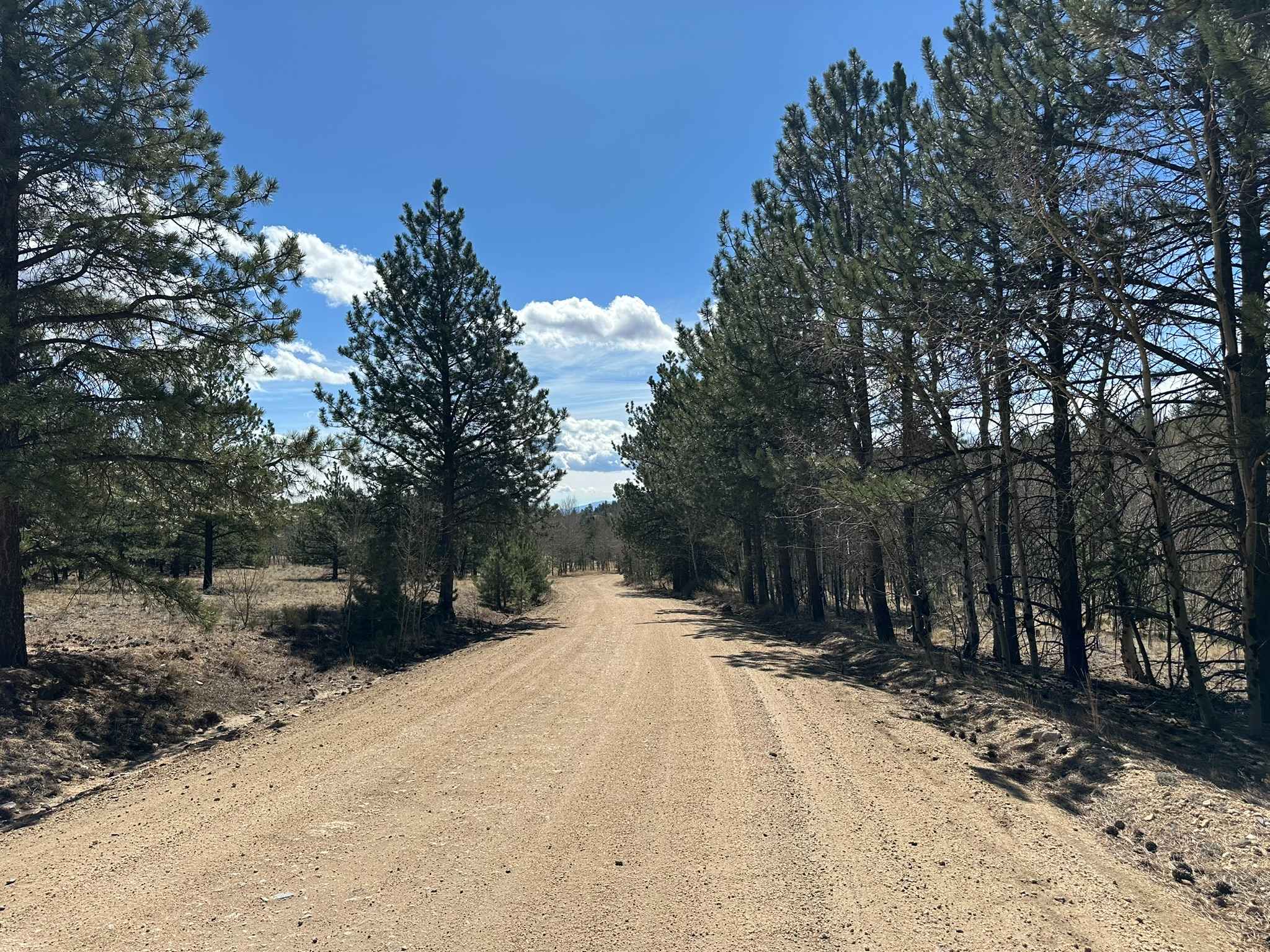
Trail Overview
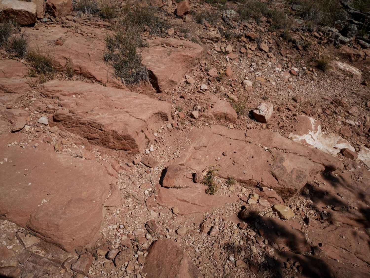
This segment of the Spring Creek ATV Trail descends off of the Uncompahgre Plateau for 4.3 miles, dropping almost 900 feet in elevation, and riding through a variety of landscapes as it descends from forest to high desert. The trail starts in a forest of fir trees and beautiful groves of aspen trees above 8,500 feet elevation. As it starts descending, it goes through more open fields of sagebrush and gambel oak. A lot of the descent is gradual, but parts are pretty steep as it drops off the plateau, with small rocks in the trail. There is downfall that has been pushed off the trail, sharp turns, and it goes through cattle grazing areas so you will likely see cows on the trail. In the forest, it crosses a small rocky stream that is more like a mud puddle. The trail gets tighter as it descends through the scraggly bushes, and has spots that are slightly more off-camber for the ATVs, as well as spots with embedded rocks that make small ledges. After 3 miles, it has a steep climb back up through a shelfy section along a hillside next to a drop-off. Some sections look like they've been widened and water bars added to prevent erosion. The terrain totally changes as you've dropped so much elevation at this point. It steeply climbs up a loose hill of grey dirt, and the trees change to pinyon pine. It makes a big sharp corner to go south, then east along the boundary of the national forest, until it ends on FS Road 536.
Photos of Spring Creek ATV Trail (East)

Difficulty
This is a fun section of ATV trail that has lots of steep descents, small rock ledges, steep and loose climbs, and shelfy narrow sections of trail. It's a really fun ride combined with the many other ATV trails in the area, with a few more challenging spots for average riders. The steep loose spots are what make it more of an intermediate trail.
Status Reports
Spring Creek ATV Trail (East) can be accessed by the following ride types:
- ATV (50")
- Dirt Bike
Spring Creek ATV Trail (East) Map
Popular Trails
Webber Park Road
The onX Offroad Difference
onX Offroad combines trail photos, descriptions, difficulty ratings, width restrictions, seasonality, and more in a user-friendly interface. Available on all devices, with offline access and full compatibility with CarPlay and Android Auto. Discover what you’re missing today!