Clayton Road
Total Miles
2.2
Technical Rating
Best Time
Spring, Summer, Fall, Winter
Trail Type
Full-Width Road
Accessible By
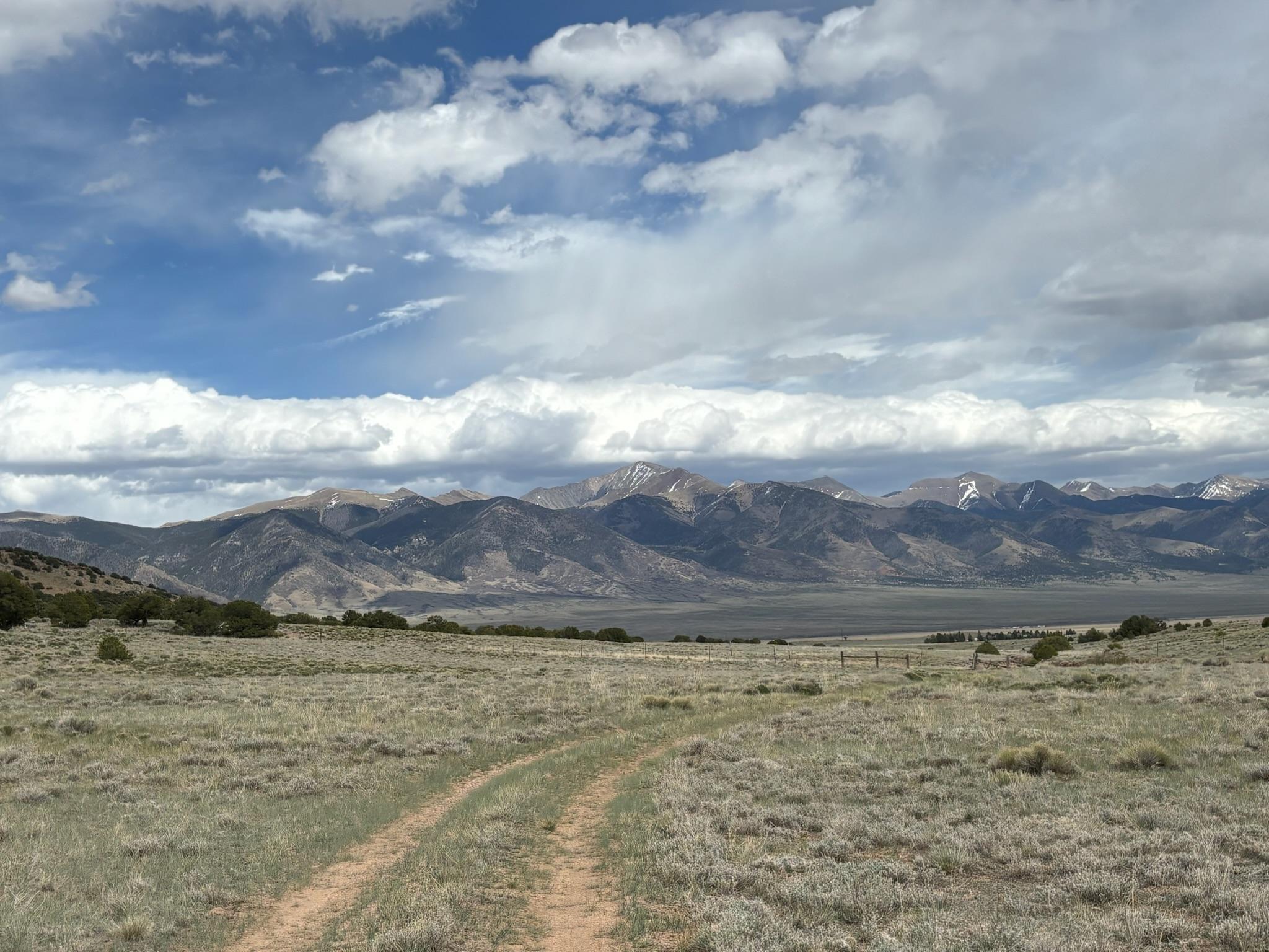
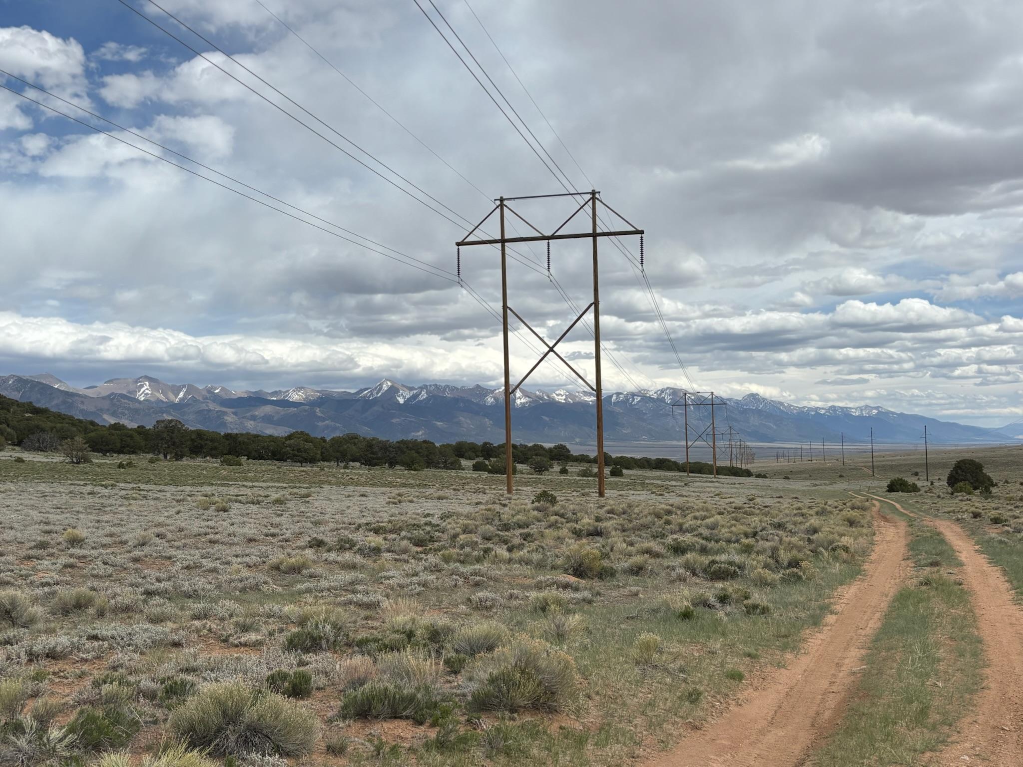
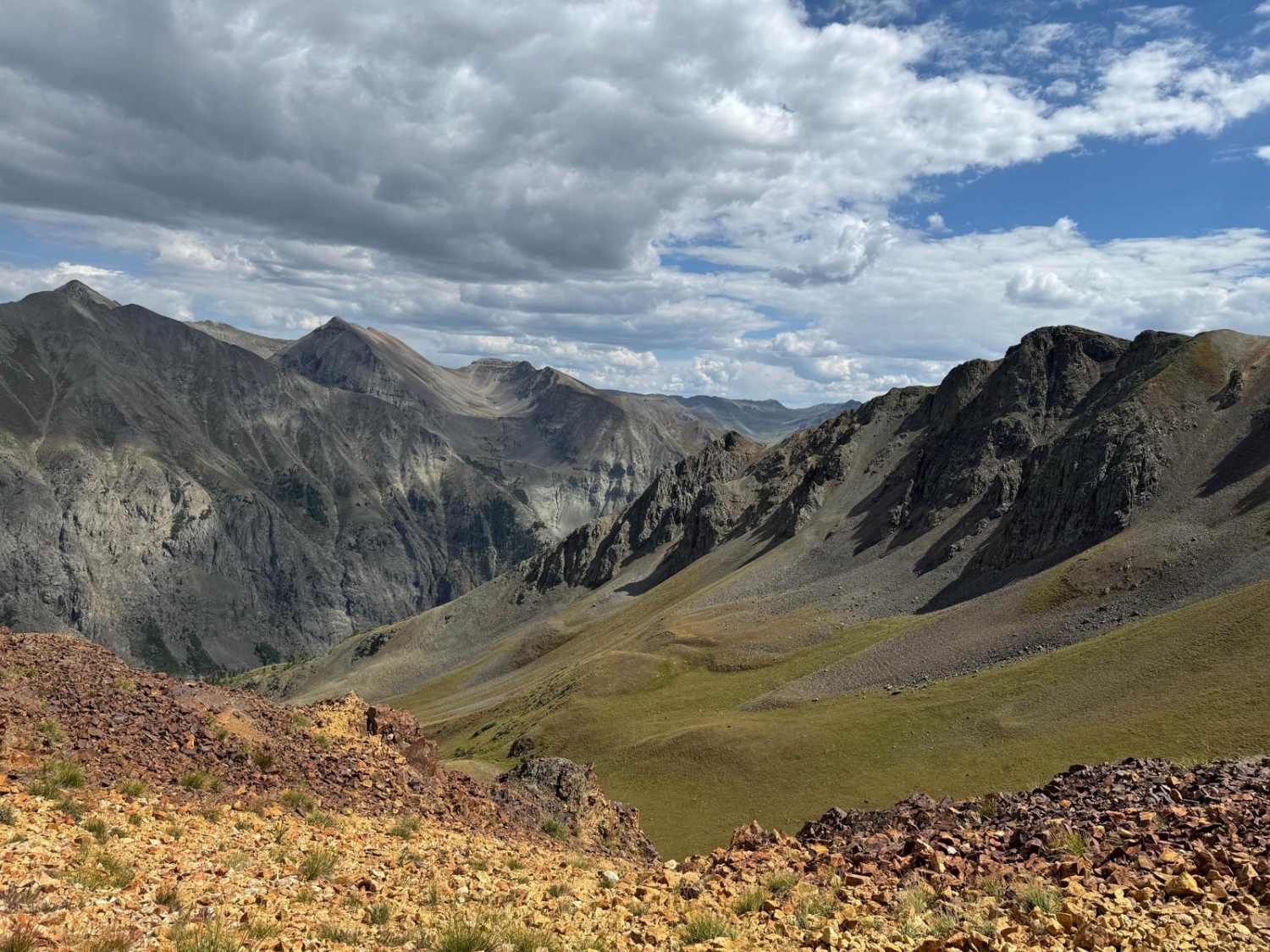
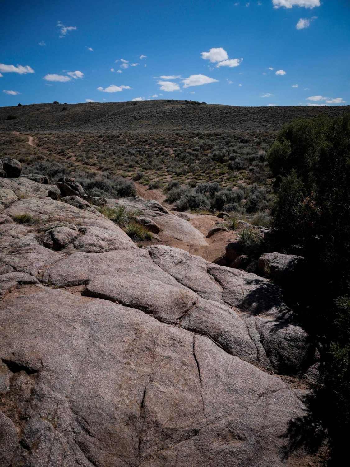
Trail Overview
This road travels west from Highway 285 to a junction of various trails that are popular with local residents. This area includes sweeping views of the surrounding Sawatch and Sangre de Cristo mountain ranges, as well as plenty of the wild antelope that are common to this area. Additionally, there are several excellent dispersed camping sites in the area.
Photos of Clayton Road
Difficulty
This is a simple dirt road with rutting in several spots.
Status Reports
Clayton Road can be accessed by the following ride types:
- High-Clearance 4x4
- SUV
- SxS (60")
- ATV (50")
- Dirt Bike
Clayton Road Map
Popular Trails
Miners Creek Trail
Winding Stairs-Ice Cave Loop
The onX Offroad Difference
onX Offroad combines trail photos, descriptions, difficulty ratings, width restrictions, seasonality, and more in a user-friendly interface. Available on all devices, with offline access and full compatibility with CarPlay and Android Auto. Discover what you’re missing today!