Walton Peak
Total Miles
7.4
Technical Rating
Best Time
Summer, Fall
Trail Type
Full-Width Road
Accessible By
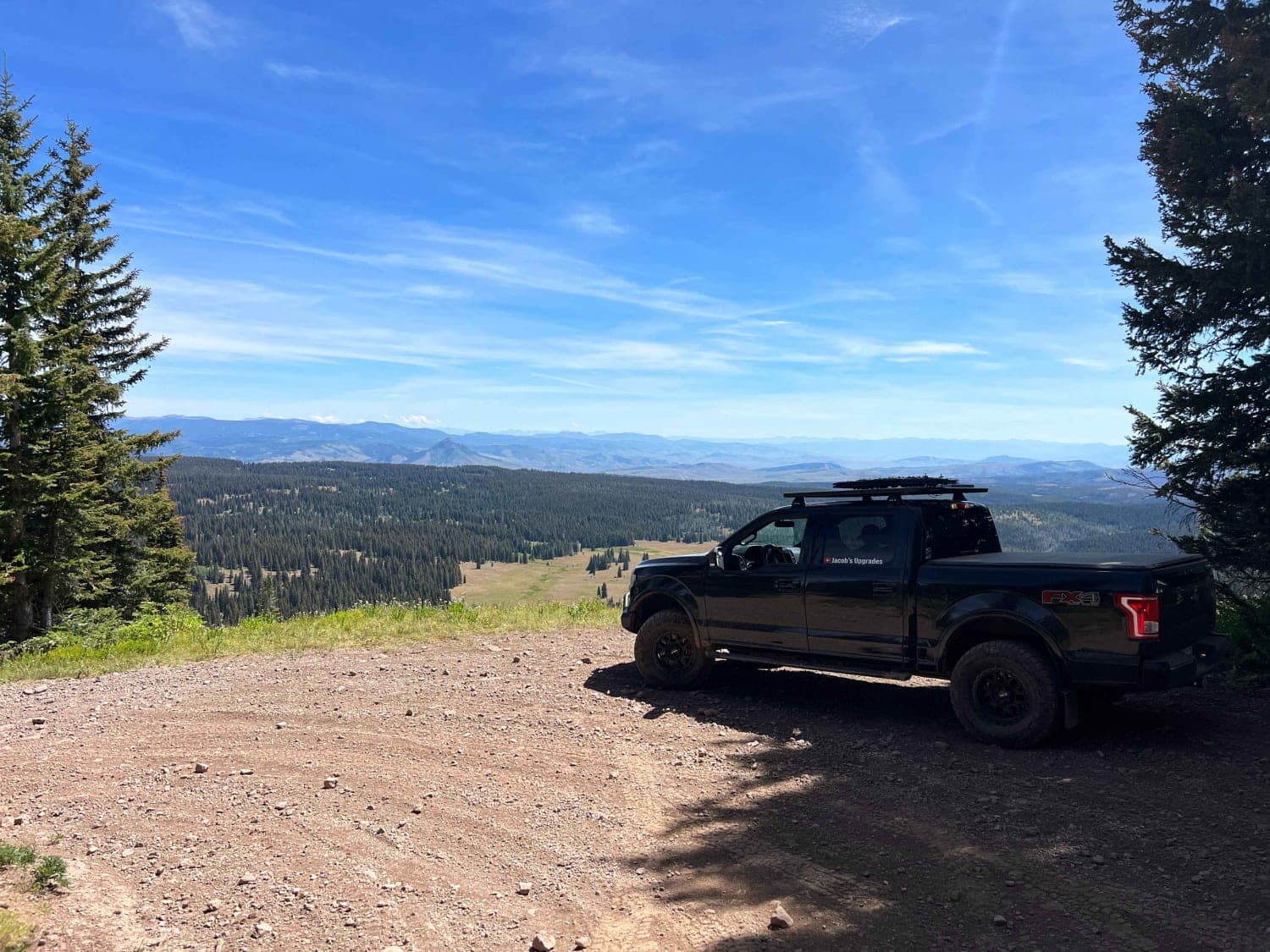
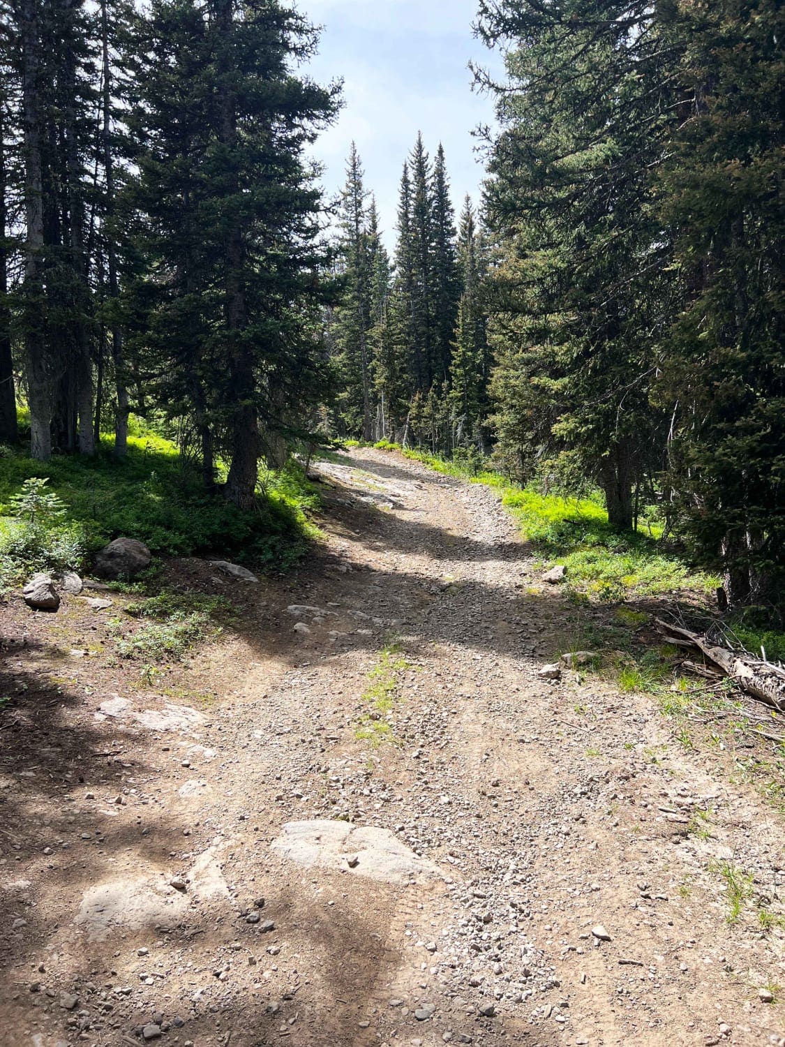
Trail Overview
Walton Peak breaks off Harrison Creek trail and climbs to over 10,500 feet in Routt National Forest. The last few miles are the most challenging, with several rock ledges to climb and some steep off-camber sections before reaching the top. The last switchback below the radio tower is the best view looking east on a clear day.
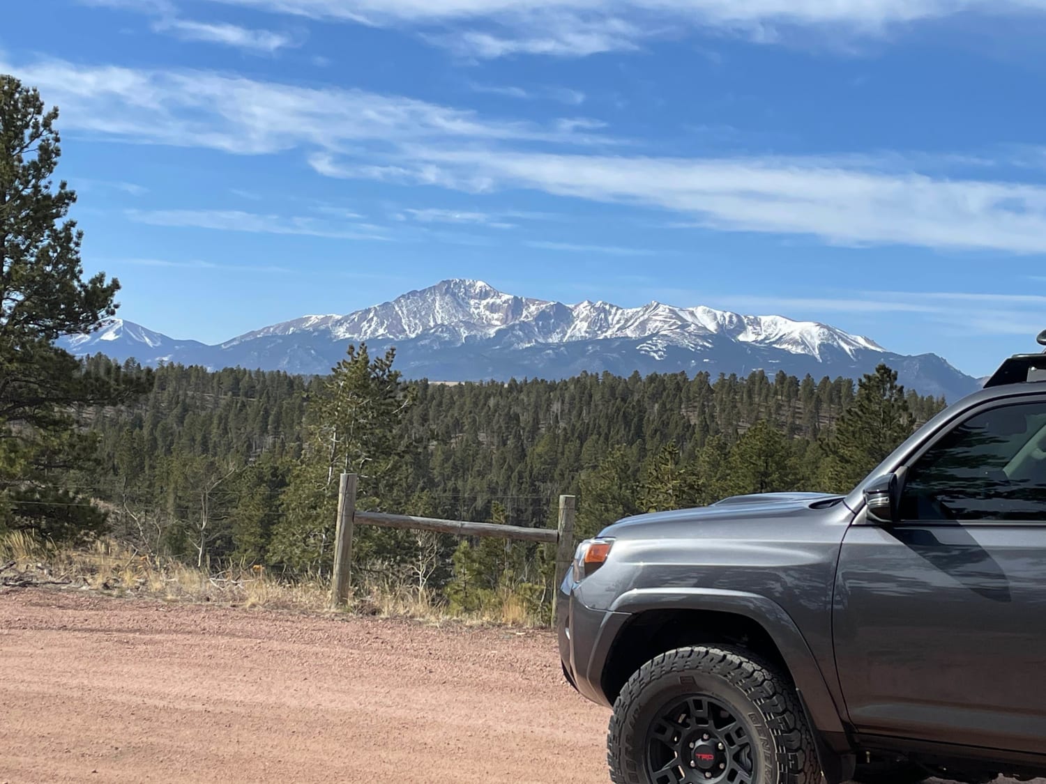
Photos of Walton Peak
Difficulty
Expect a few mud pits, steep rock ledges with some off-camber climbs, and tight switchbacks.
Status Reports
Walton Peak can be accessed by the following ride types:
- High-Clearance 4x4
- SUV
Walton Peak Map
Popular Trails
Tincup Pass, St. Elmo

GPS Vehicle Trap - FR315
The onX Offroad Difference
onX Offroad combines trail photos, descriptions, difficulty ratings, width restrictions, seasonality, and more in a user-friendly interface. Available on all devices, with offline access and full compatibility with CarPlay and Android Auto. Discover what you’re missing today!