Upper Elk Creek ATV
Total Miles
2.5
Technical Rating
Best Time
Summer, Fall
Trail Type
50" Trail
Accessible By
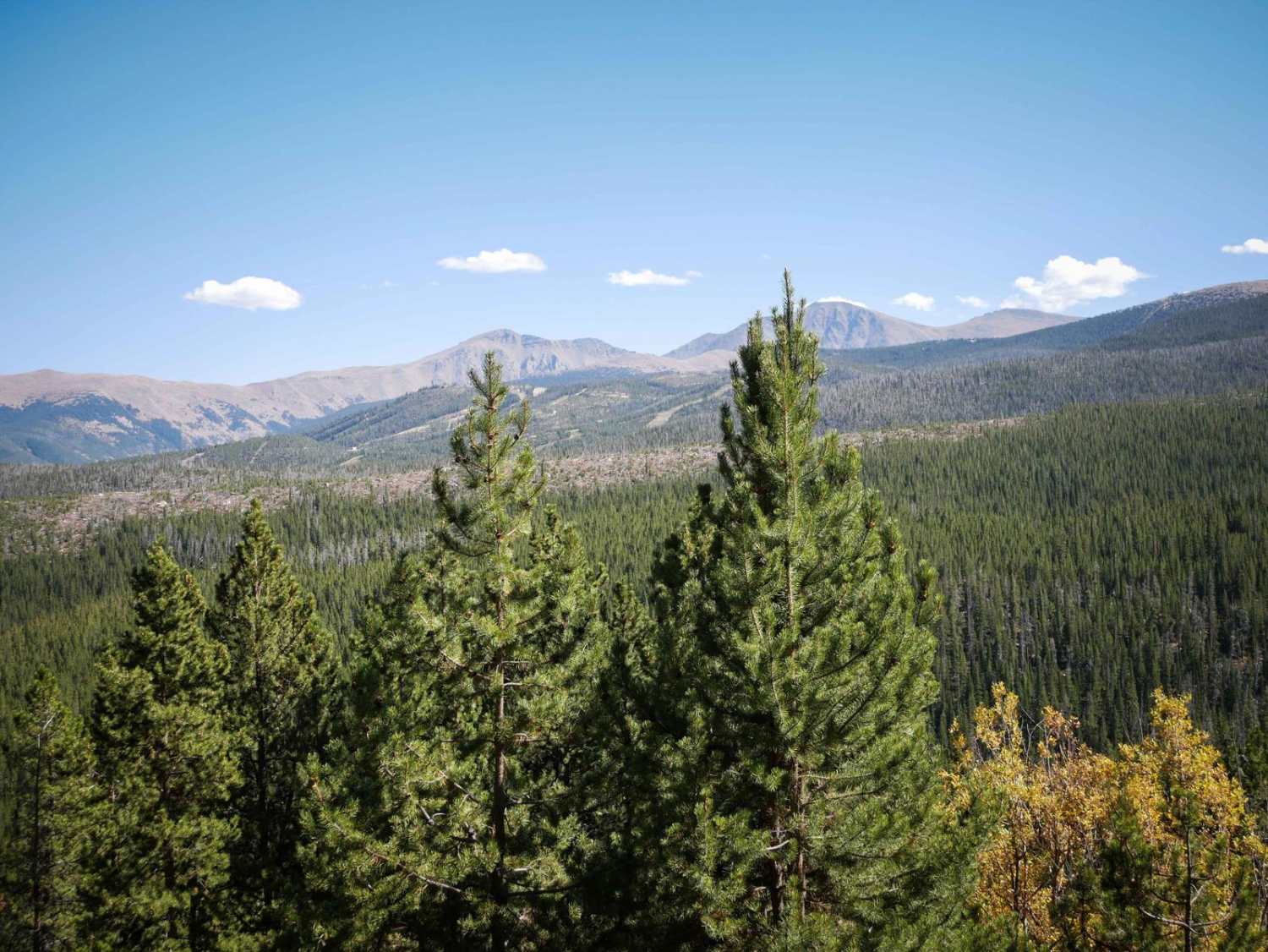
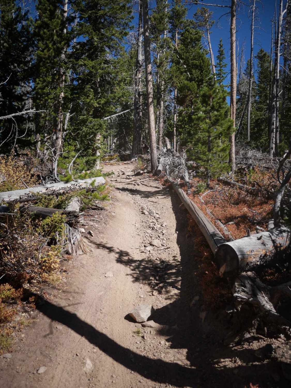
Trail Overview
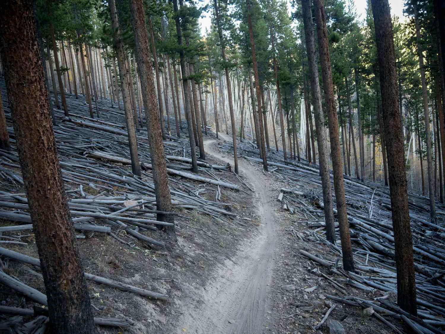
Upper Elk Creek ATV trail goes for 2.6 miles through the Arapaho National Forest near Fraser, Colorado, connecting Tunnel 3 Area Road to West Elk Creek Road. From the west, it climbs up the mountain with several switchbacks that have a bit of loose rock and are tighter and steeper than the switchbacks on the Elk Creek Loop. On one of the climbs, the trail is more rutted with loose rocks filling in the ruts. As it nears the top of the mountain, there are some small logs down over the trail through the lodgepole pine forest that are relatively easy to go around or over, and a couple of sections in the middle of the route are a bit rockier with more loose rocks. After almost a mile, the trail descends back down through more tight turns through the trees. Near the east end, it levels out as it goes along a flat shelfy route on the edge of the mountain. Although all of the trails in the trail system are easy, this one is likely the hardest.
Photos of Upper Elk Creek ATV
Difficulty
This ATV trail is slightly harder than the rest of the ATV trails in the area because it has sections that are steeper, tighter, and more covered in loose rock. There are some steeper climbs and descents that are on loose dirt and rock that make it slightly more challenging, and thus an intermediate difficulty. Riders will also have to watch for downed trees.
Status Reports
Upper Elk Creek ATV can be accessed by the following ride types:
- ATV (50")
- Dirt Bike
Upper Elk Creek ATV Map
Popular Trails
Sunnyside Cutoff
Sawmill Gulch Trail

Green Canyon
The onX Offroad Difference
onX Offroad combines trail photos, descriptions, difficulty ratings, width restrictions, seasonality, and more in a user-friendly interface. Available on all devices, with offline access and full compatibility with CarPlay and Android Auto. Discover what you’re missing today!