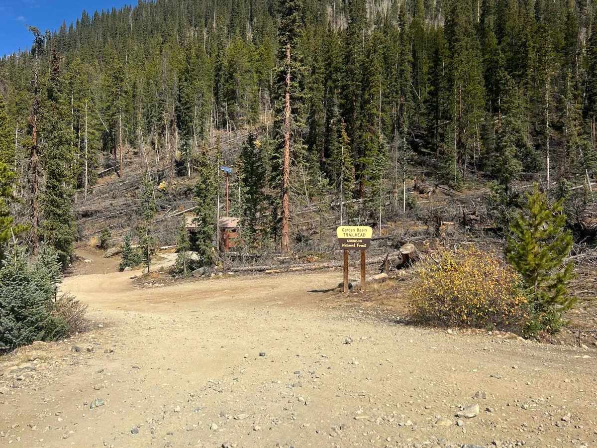
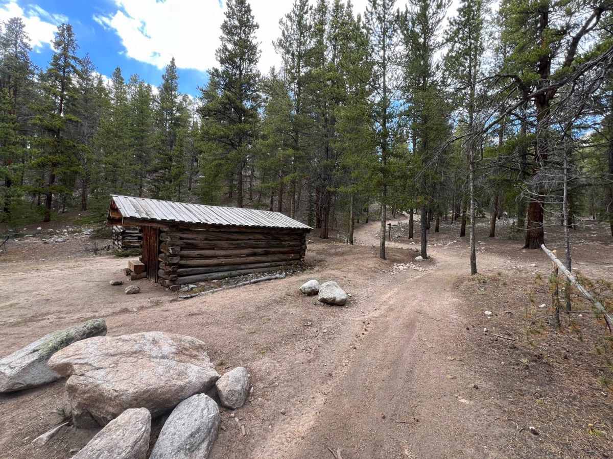
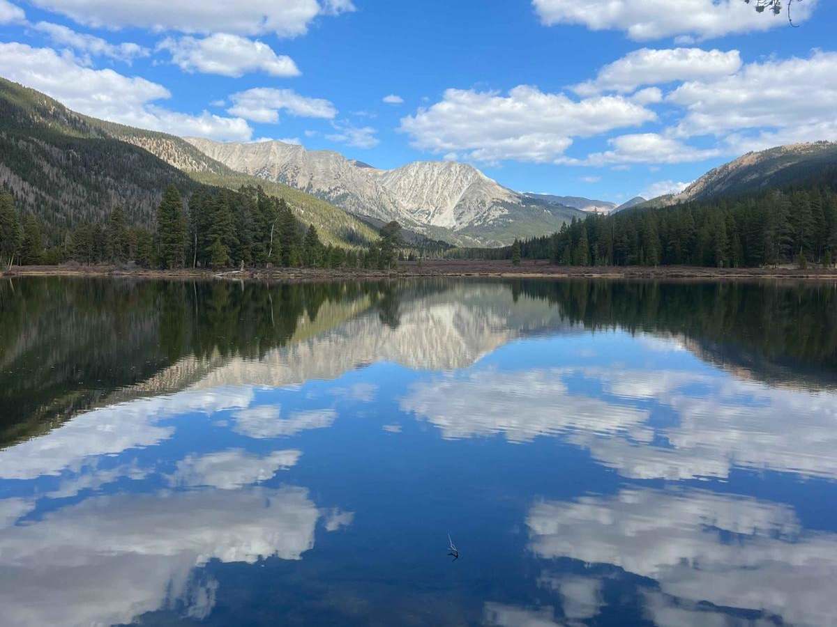
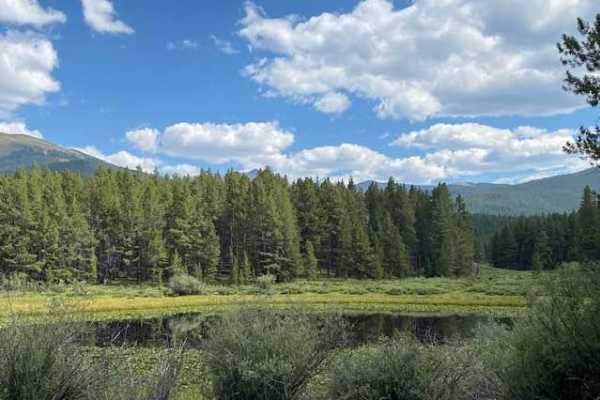
Trail Overview
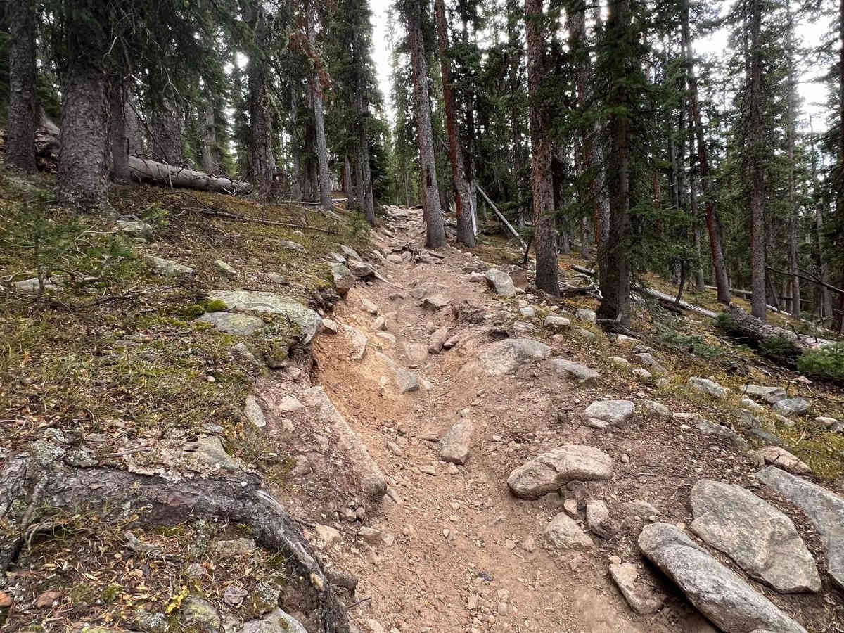
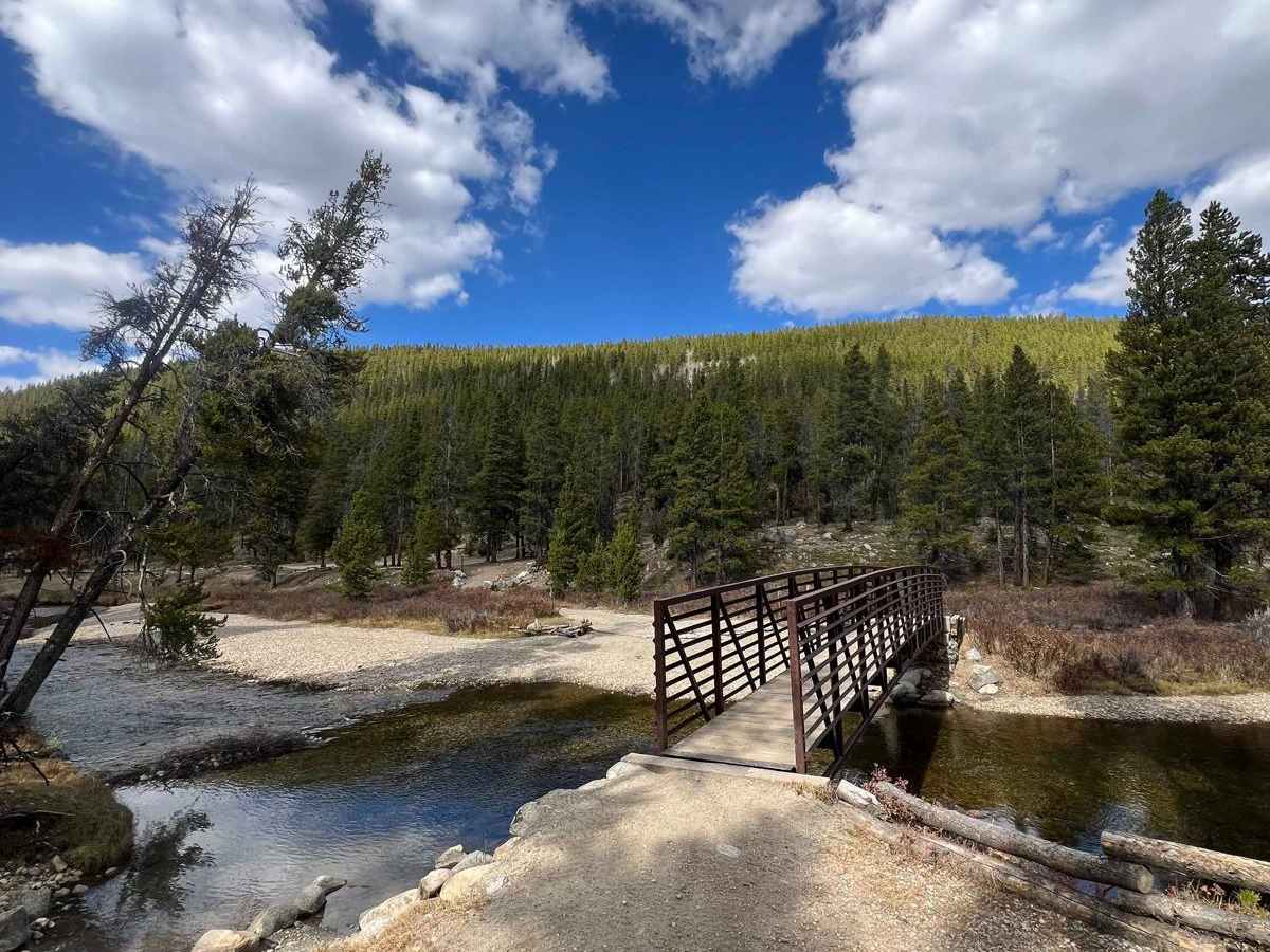
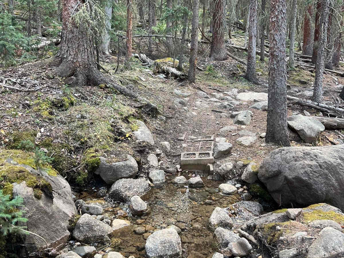
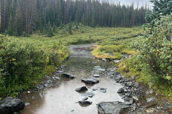
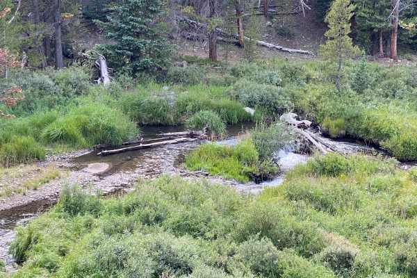
Timberline Trail #414 is one of Colorado's most demanding single-track trails. From start to finish, this trail is exceptionally rocky, featuring a mix of big rocks, loose stones, deep stream crossings, open exposure, downed logs, mud bogs, and stunning lakes, all while offering breathtaking views and opportunities to spot wildlife. Spanning 33 miles, the trail presents a significant elevation challenge with 5,431 feet of ascent and 6,355 feet of descent, resulting in numerous climbs and descents along the way. Timberline Trail can be traversed in either direction; however, tackling it from west to east is particularly challenging. True to its name, the trail is located near the tree line, reaching a high point of 12,093 feet and a low point of 9,827 feet. There are several bailout points that can lead you into Taylor Park or the Tincup area. It's essential to come prepared for this trail; bring your InReach, water, extra tubes, quick steel, levers, and other essentials, as cell service is virtually nonexistent.
Difficulty
Large boulders, loose stones, deep stream crossings, exposed sections, downed logs, mud bogs, steep rocky hill climbs and downhills.