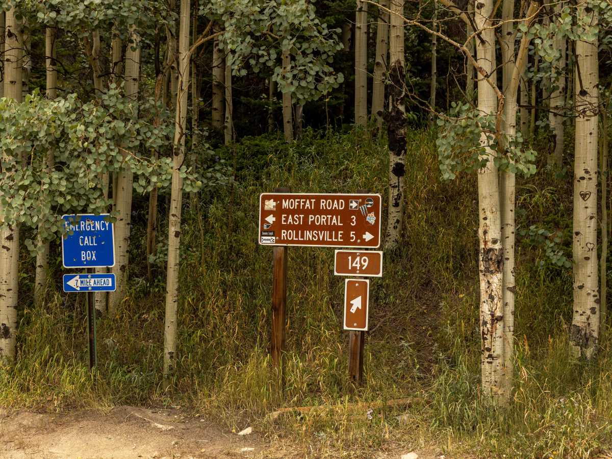
Trail Overview
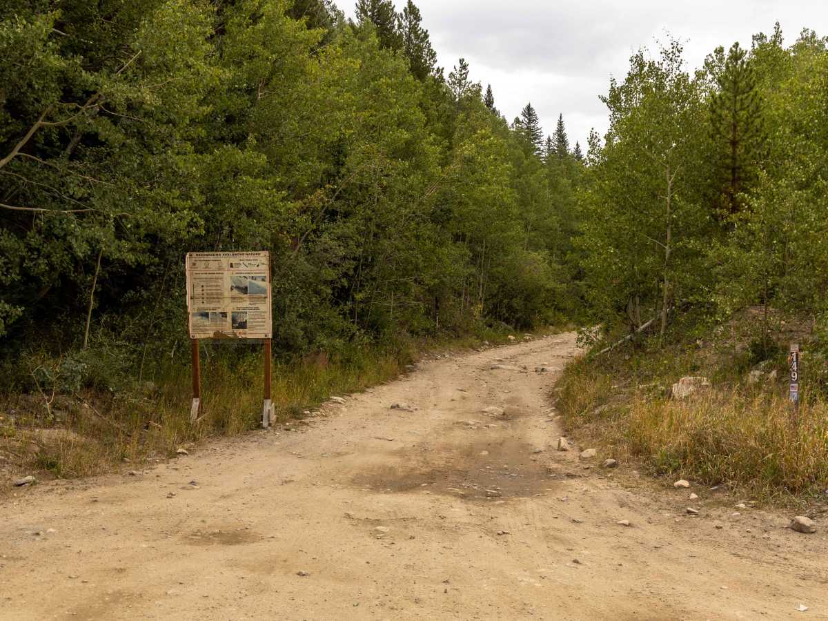
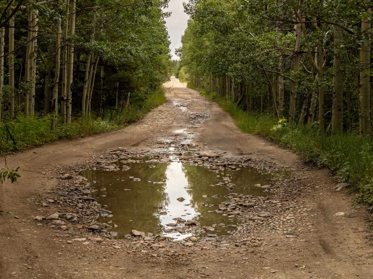
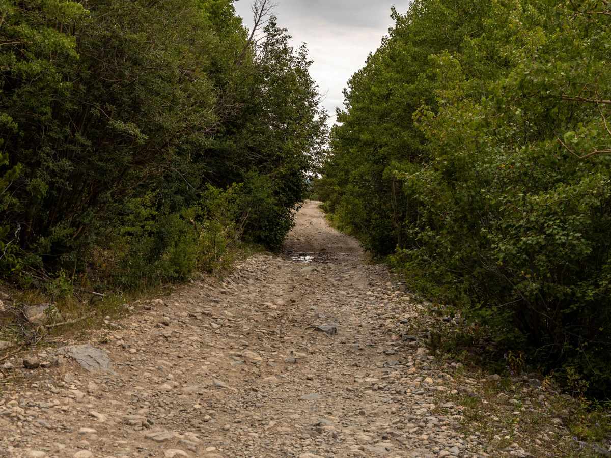
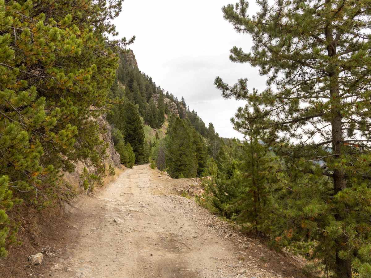
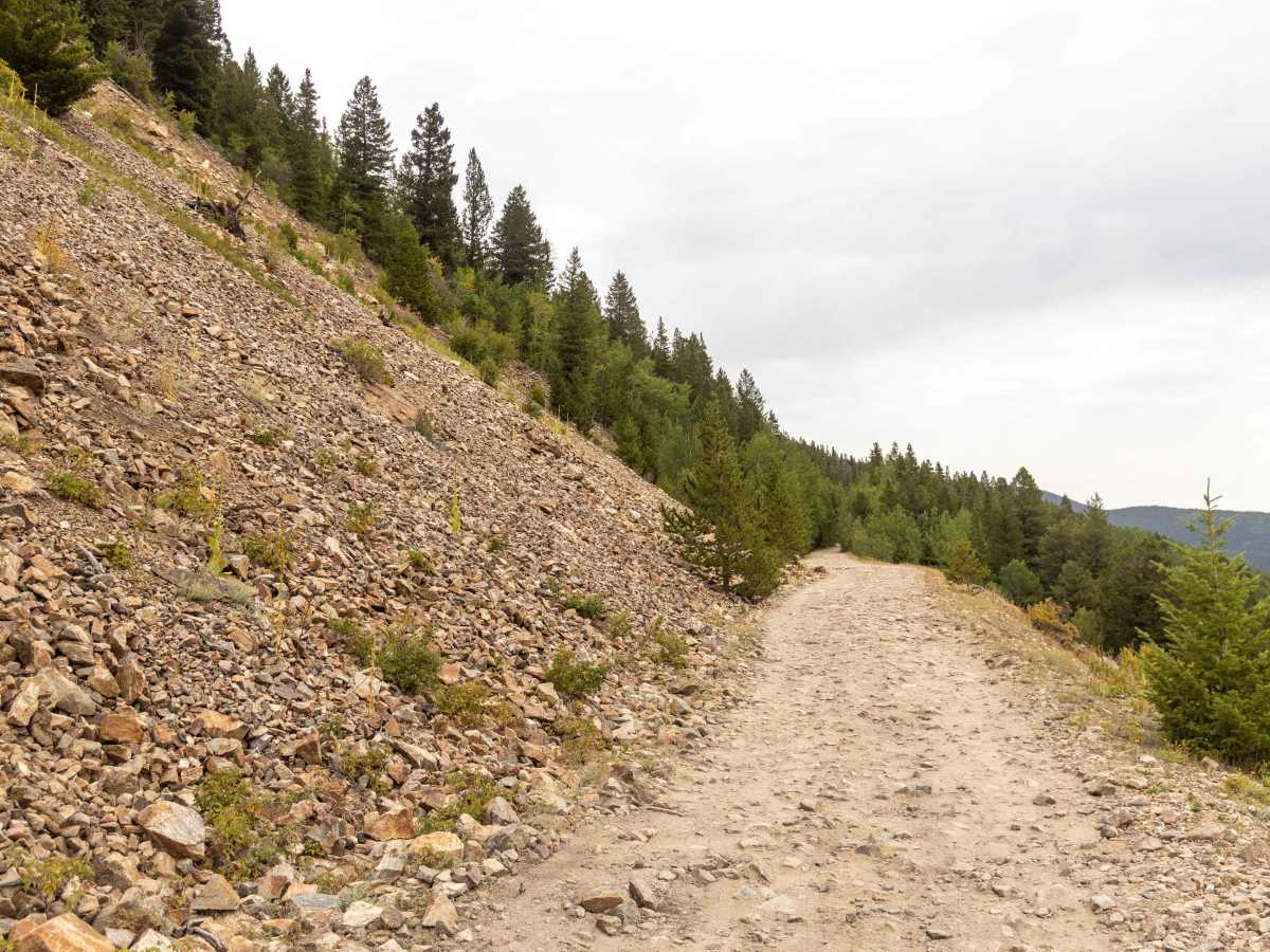
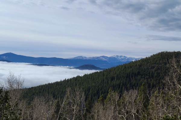
Rollins Pass East is a rugged, historic trail that follows a former railroad route over the Continental Divide, offering a challenging drive with significant elevation gain. The road is characterized by its rocky surface, potholes, and a steady, bumpy climb, making it suitable for high-clearance vehicles. While there are no major obstacles, the terrain requires careful navigation, especially around a particularly problematic rock section. Additionally, cellular service is unavailable along the route, so it's advisable to plan accordingly. It's important to note that this DOES NOT CONNECT with Rollins Pass West, as the tunnel has been closed for many years with no plans for re-entry. There is currently no sanctioned legal workaround to connect the two trails. The trail is open to motorized vehicles during the summer and fall months, but conditions can vary, and sections may be impassable during or after storms. Travelers should be prepared for a jarring ride due to embedded rocks and muddy spots. The road is suitable for stock 4x4, high-clearance SUVs when dry, but caution is advised. The route is popular among off-road enthusiasts, hikers, and those interested in the area's rich history.
Difficulty
While there are no major obstacles on this trail, it is uneven, with ruts and loose rocks in places. Erosion and narrow choke points on the trail, especially up near the summit, require your full attention.
History
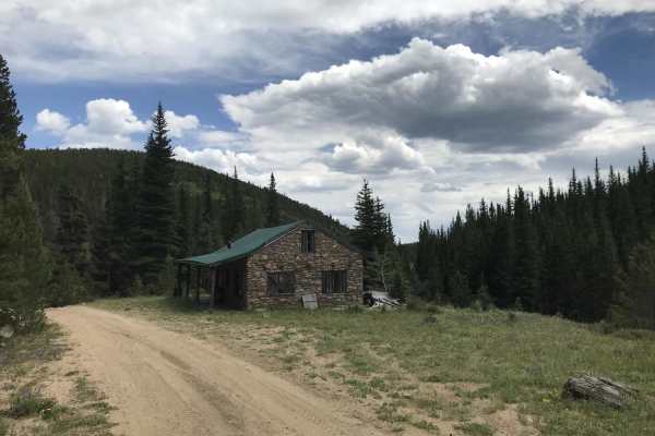
Rollins Pass East is a historic route that traverses the Continental Divide in Colorado, offering a glimpse into the region's rich cultural and engineering history. Long before European settlers arrived, the area around Rollins Pass was utilized by Indigenous peoples for hunting and migration. Archaeological evidence, including rock walls and hunting blinds, indicates that the pass has been used for over 10,000 years. In the mid-1860s, General John Quincy Adams Rollins improved an existing wagon road across the pass, facilitating access to Middle Park and establishing a toll route that became known as Rollins Pass. The Denver, Northwestern & Pacific Railway, led by David H. Moffat, constructed a rail line over Rollins Pass in 1903–1904, reaching an elevation of 11,680 feet. This route, known as the "Moffat Road," was the highest mainline railroad in North America at the time. The railroad featured several engineering feats, including the Needle's Eye Tunnel and multiple trestles. A depot and service town named Corona were established at the summit, providing accommodations and services for workers and travelers. In 1928, the Moffat Tunnel was completed, providing a more efficient route through the Continental Divide and leading to the abandonment of the Rollins Pass rail line. Subsequent efforts to maintain the route as an automobile road were hindered by rockfalls, including a significant incident in 1979. Today, Rollins Pass East is a popular route for off-road enthusiasts and hikers. The area is recognized for its cultural significance and is listed as one of Colorado's Most Endangered Places, with ongoing efforts to preserve its history and features.