Railroad Grade
Total Miles
6.9
Technical Rating
Best Time
Spring, Summer, Fall
Trail Type
Full-Width Road
Accessible By
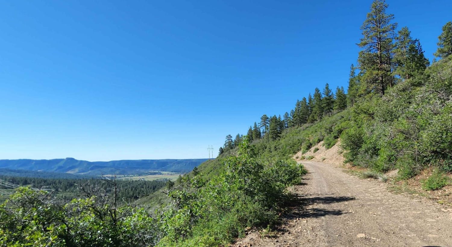
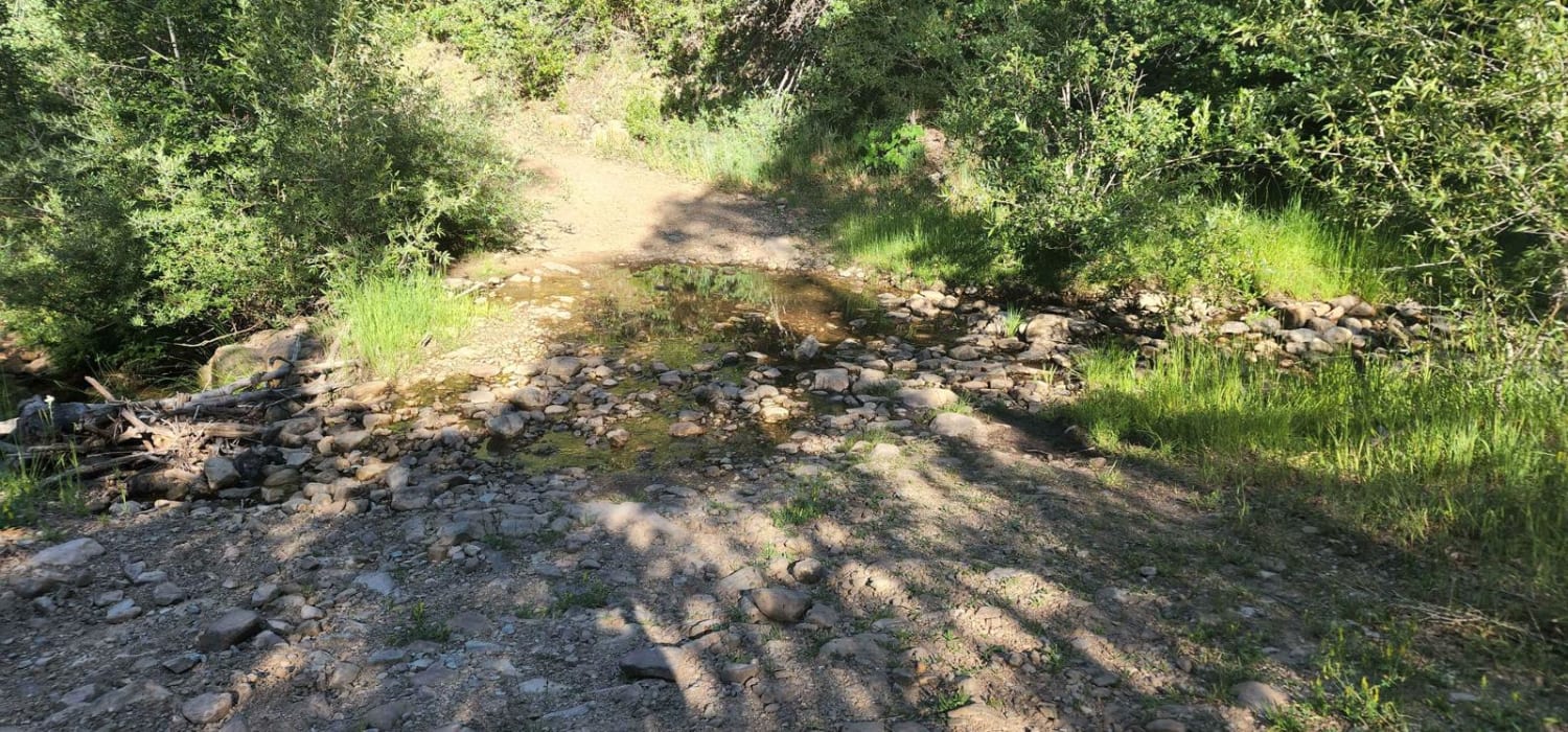
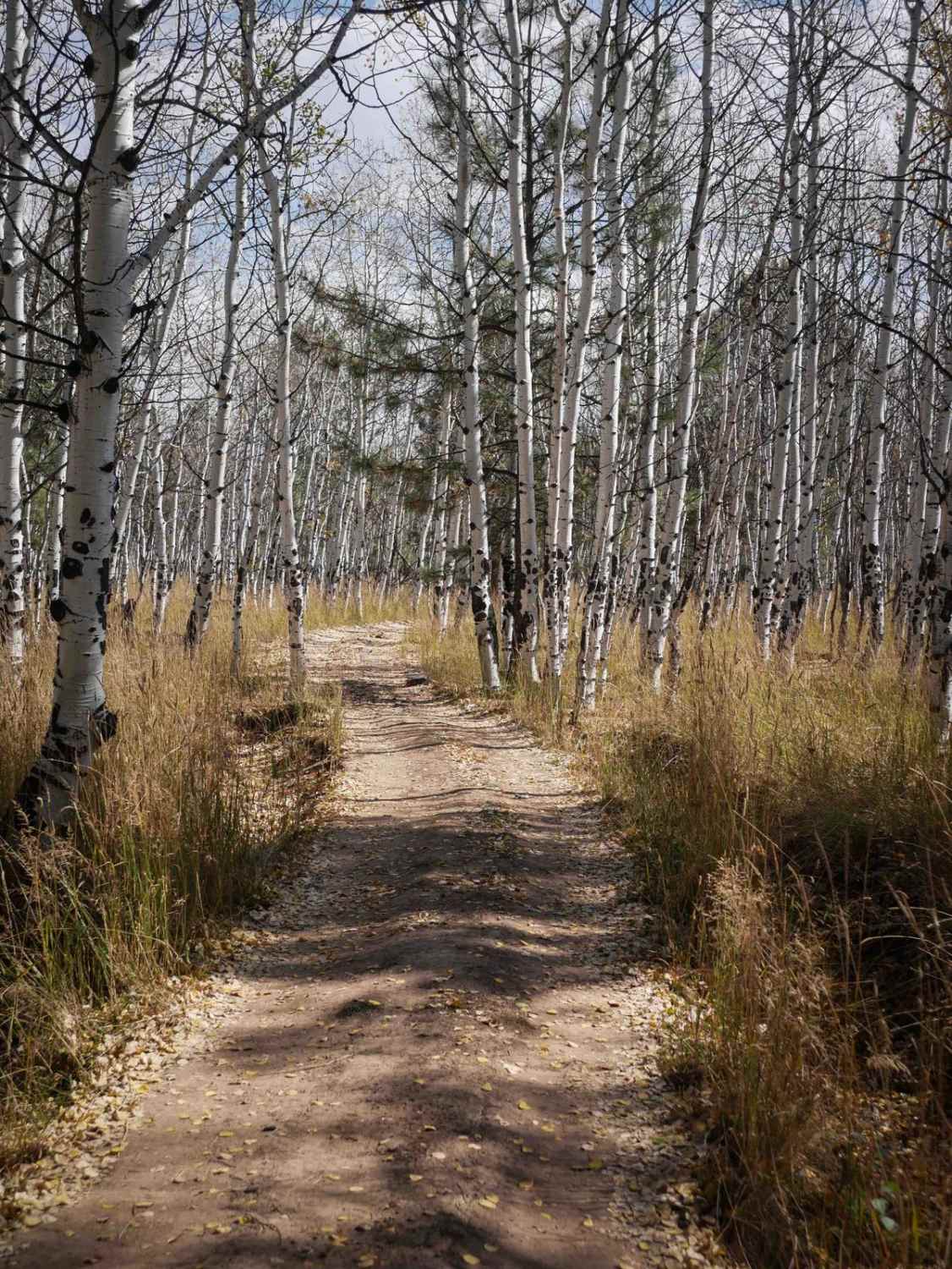
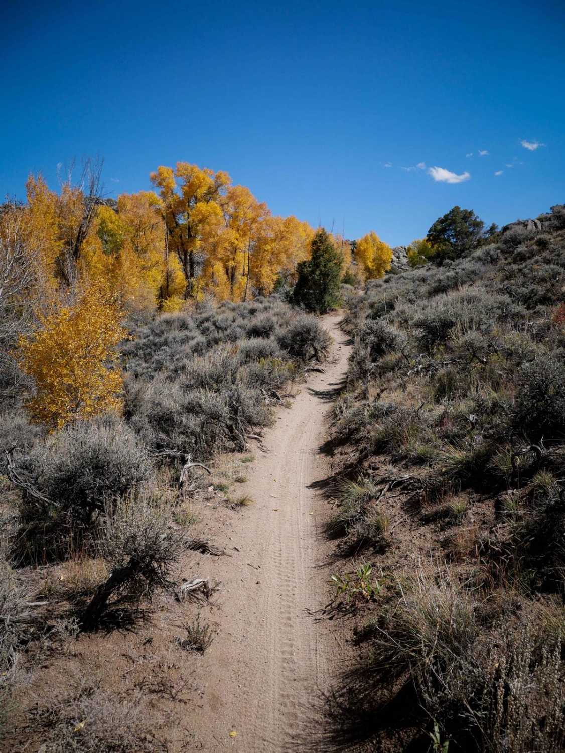
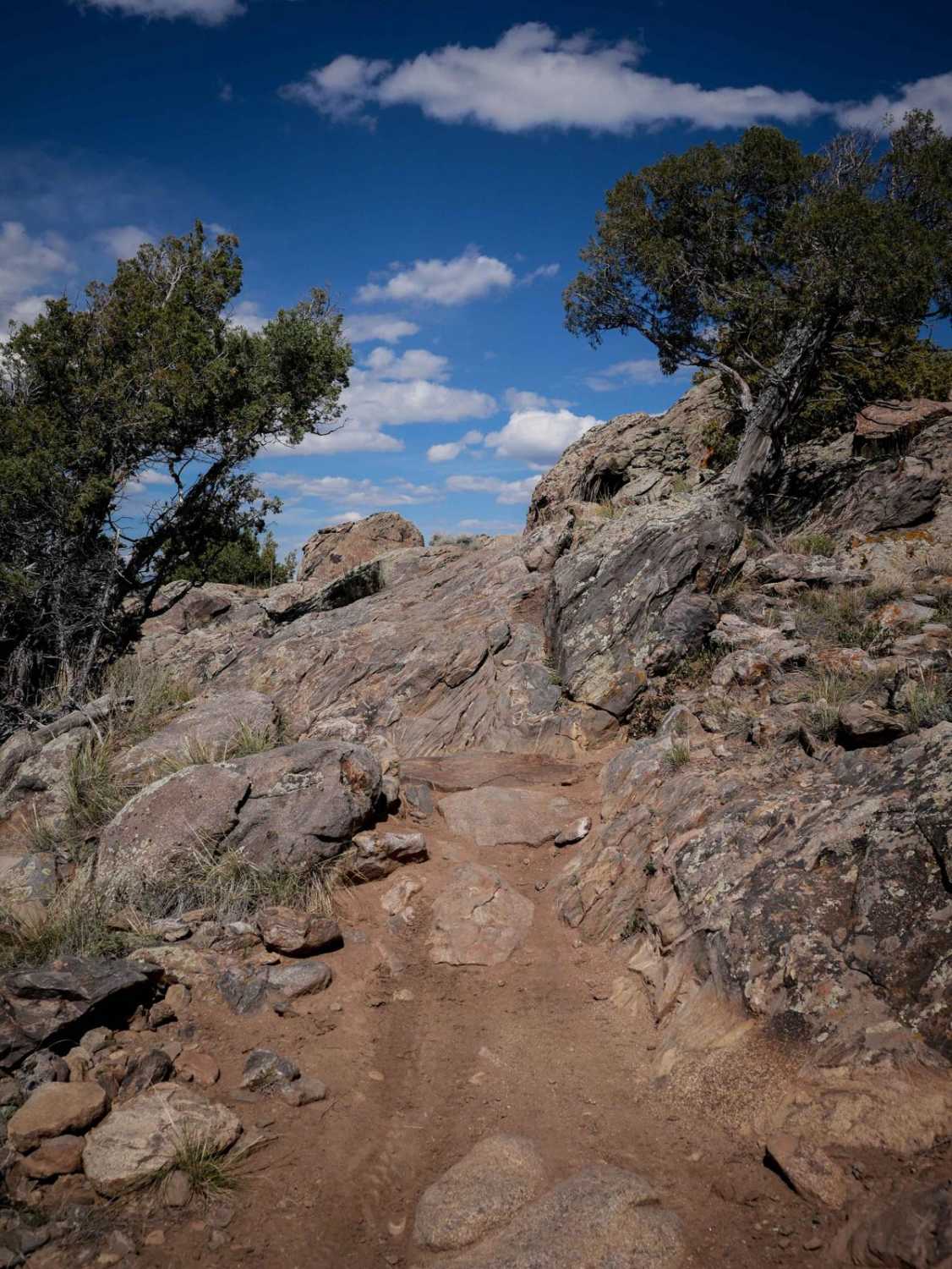
Trail Overview
There is lots of camping before this road and some camping at the end of the road. With all the cows, expect a good morning moo and cow pies! The trail features lots of mud when wet, a water crossing, rutted areas, and beautiful views. It's a tight trail, so you will get scratches. It's a dirt or rocky road that is typically unmaintained after rain or snow. You may encounter shallow water crossings and obstacles under 12 inches on the trail, including small ledges. Roads are typically one to two vehicles wide.
Photos of Railroad Grade
Difficulty
This trail is muddy when wet, rutted, and tight.
Status Reports
Railroad Grade can be accessed by the following ride types:
- High-Clearance 4x4
- SUV
- SxS (60")
- ATV (50")
- Dirt Bike
Railroad Grade Map
Popular Trails
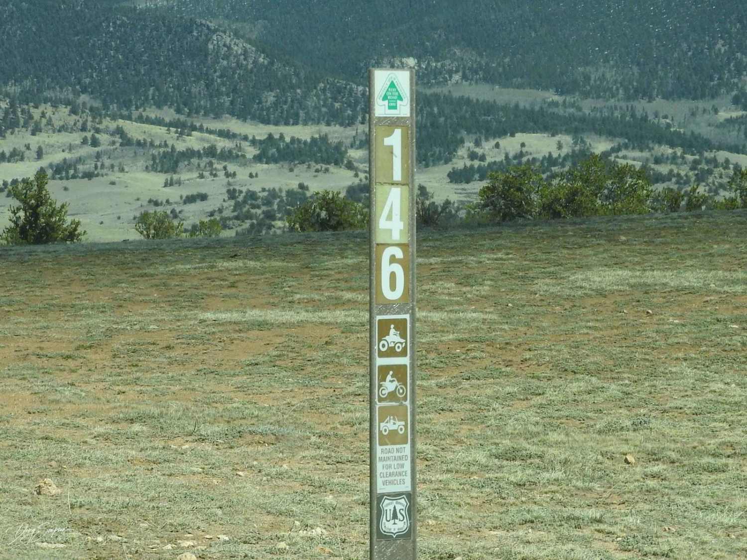
Eagle Rock Road Forest Road 146
The onX Offroad Difference
onX Offroad combines trail photos, descriptions, difficulty ratings, width restrictions, seasonality, and more in a user-friendly interface. Available on all devices, with offline access and full compatibility with CarPlay and Android Auto. Discover what you’re missing today!