Mulstay Creek
Total Miles
4.0
Technical Rating
Best Time
Summer, Fall
Trail Type
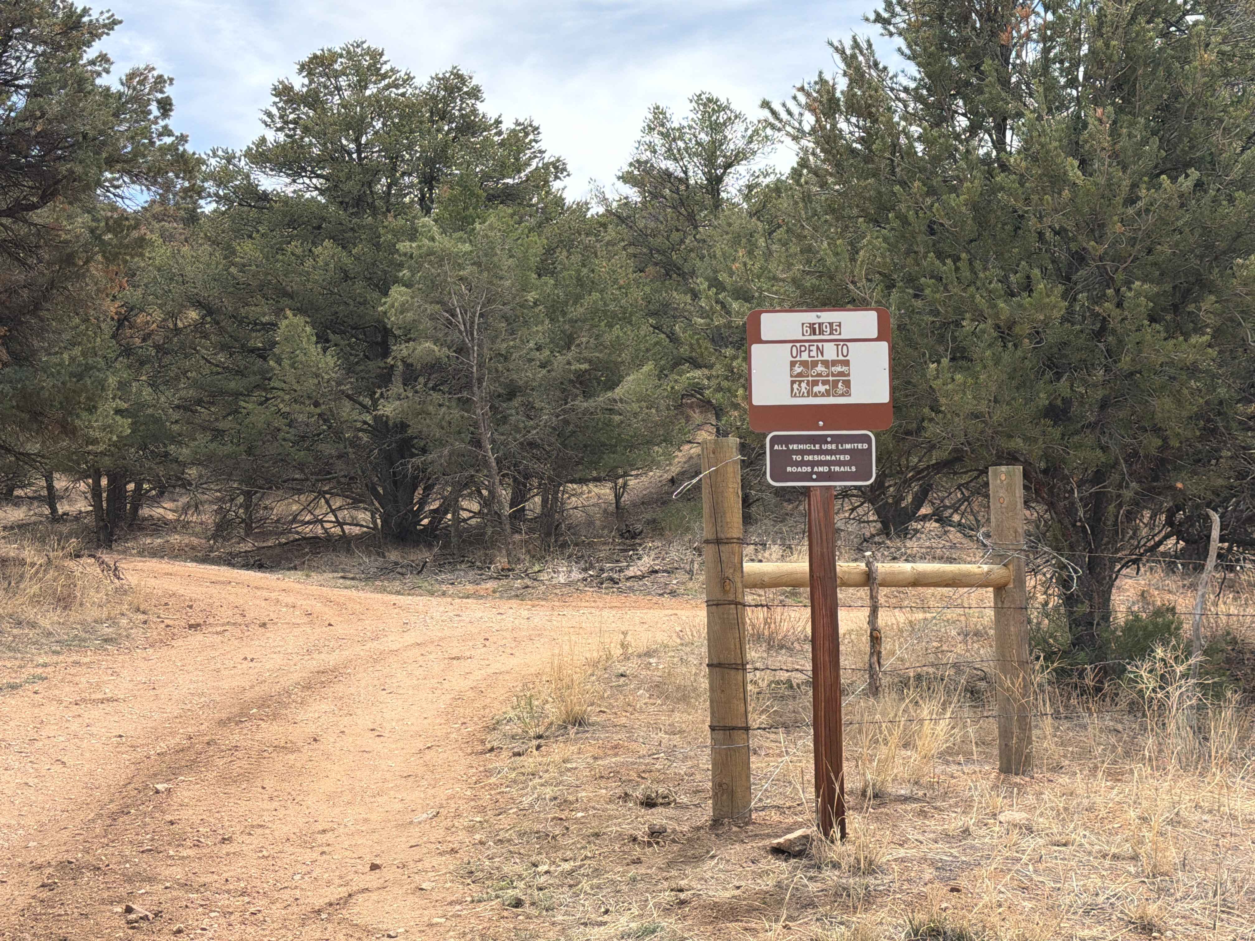
Full-Width Road
Accessible By
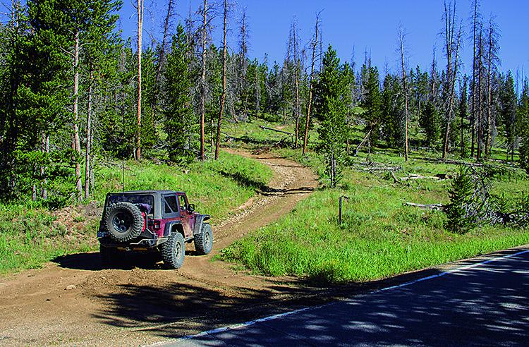
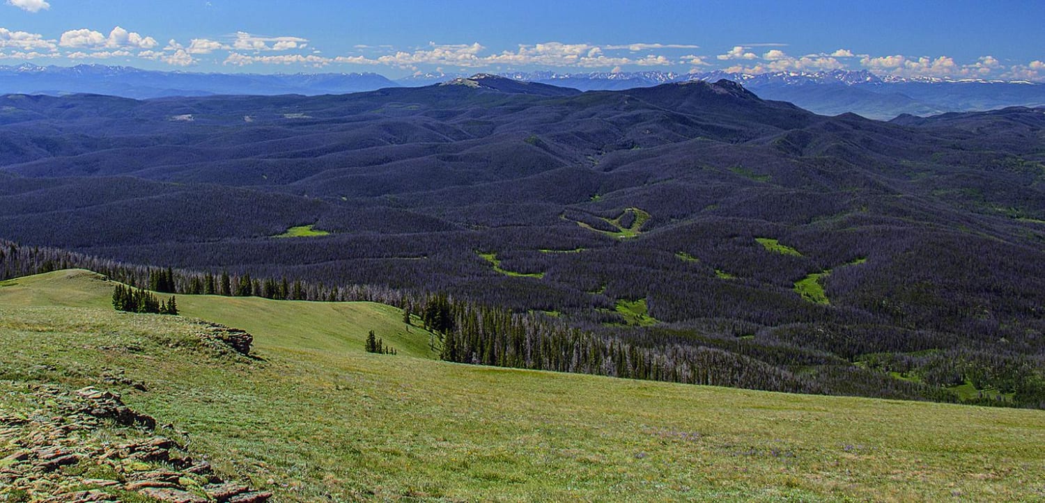
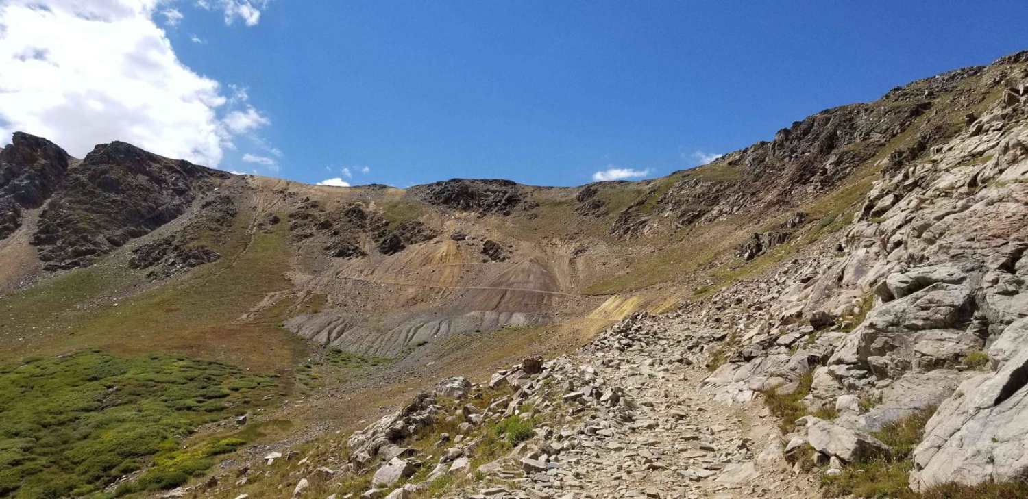
Trail Overview
This is a short trail that will lead you very close to the top of Parkview Mountain. You'll just have to hike about 1,200 feet to get to the peak. You'll be treated to a view of the distant mountains on the horizon. The trail leaves Mulstay Creek after less than a mile. There is limited camping along the trail. Open June 15 to November 15.
Photos of Mulstay Creek
Difficulty
Moderate. Steep grades, side hills and some tight turns. First part can be muddy. Narrow with tight brush and tree limbs; wide vehicles may be scratched. Side road F.S. 258.2 is narrower and more difficult.
Status Reports
Mulstay Creek can be accessed by the following ride types:
- High-Clearance 4x4
- SUV
- SxS (60")
- ATV (50")
- Dirt Bike
Mulstay Creek Map
Popular Trails

Keystone Gulch Trail
Radical Hill Road

Broken Shovel
The onX Offroad Difference
onX Offroad combines trail photos, descriptions, difficulty ratings, width restrictions, seasonality, and more in a user-friendly interface. Available on all devices, with offline access and full compatibility with CarPlay and Android Auto. Discover what you’re missing today!