Mt. Shavano
Total Miles
6.3
Technical Rating
Best Time
Spring, Summer, Fall
Trail Type
Full-Width Road
Accessible By
Trail Overview
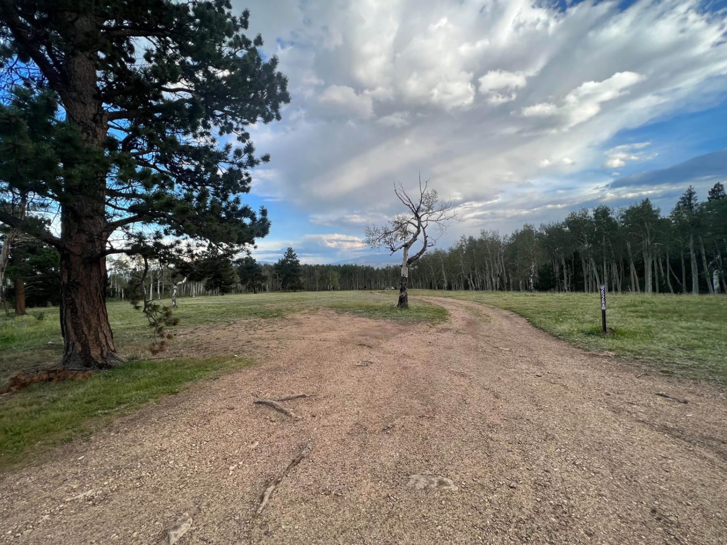
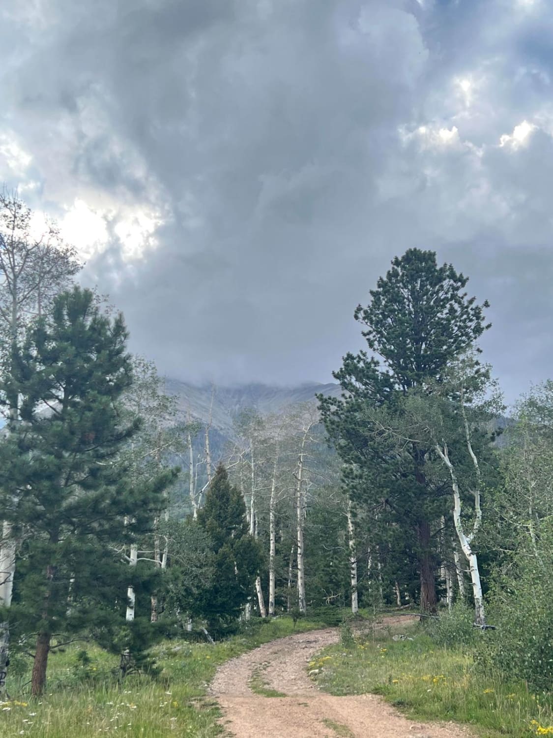
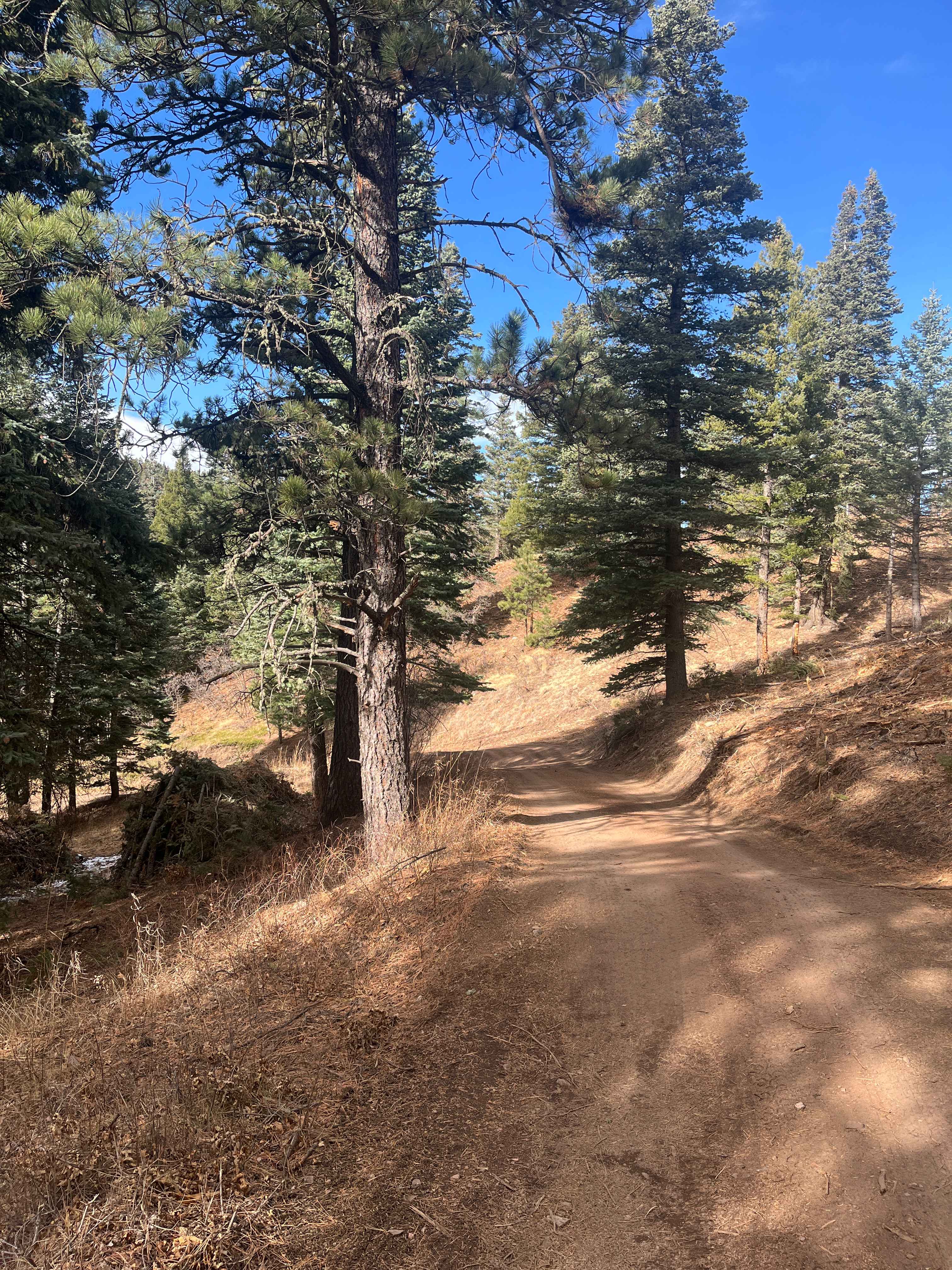
The first half of this route follows CR 250 through BLM Land with great views of the Arkansas River Valley to the south. The road forks midway through as it enters Forest Service Land; stay left onto CR 252 heading up to the Mt Shavano/Tabeguache Trailhead. The trail is bumpy and rocky throughout, with whoops in the second half, and has plenty of space for vehicles to pass. Multiple dispersed campsites can be found along the route and access to the Colorado Trail.
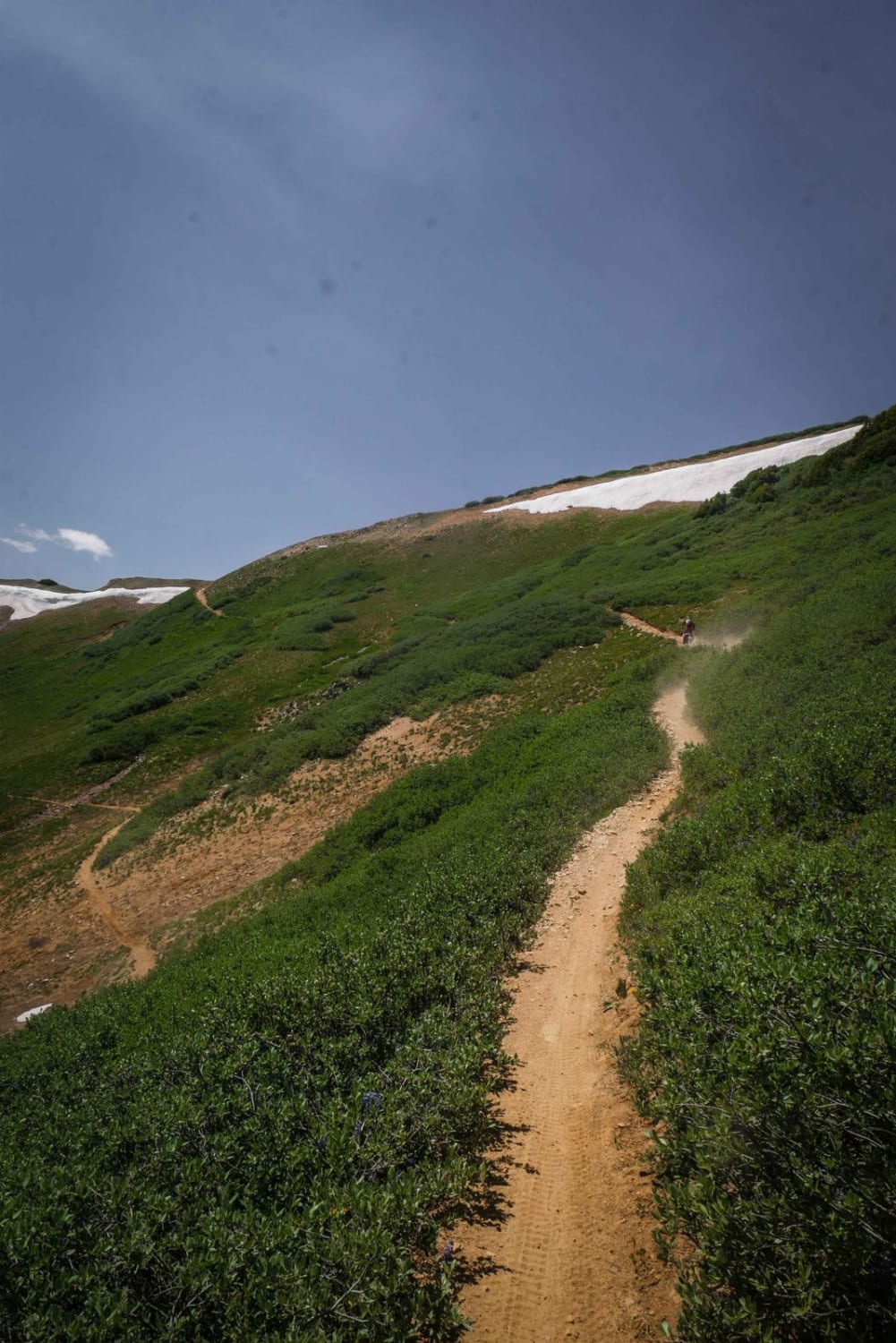
Photos of Mt. Shavano
Difficulty
Mostly 1-2 vehicles wide throughout the entire trail. Sections are fairly bumpy, rocky, and rutted.
Status Reports
Mt. Shavano can be accessed by the following ride types:
- High-Clearance 4x4
- SUV
- SxS (60")
- ATV (50")
- Dirt Bike
Mt. Shavano Map
Popular Trails
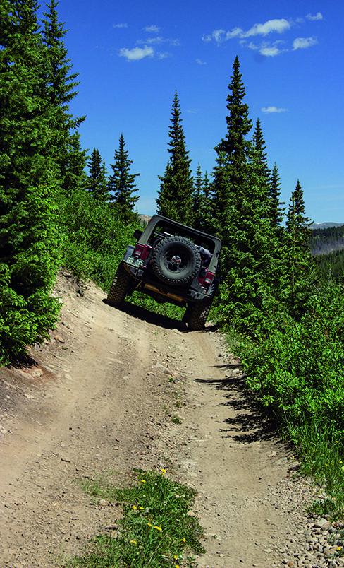
Birdseye Gulch
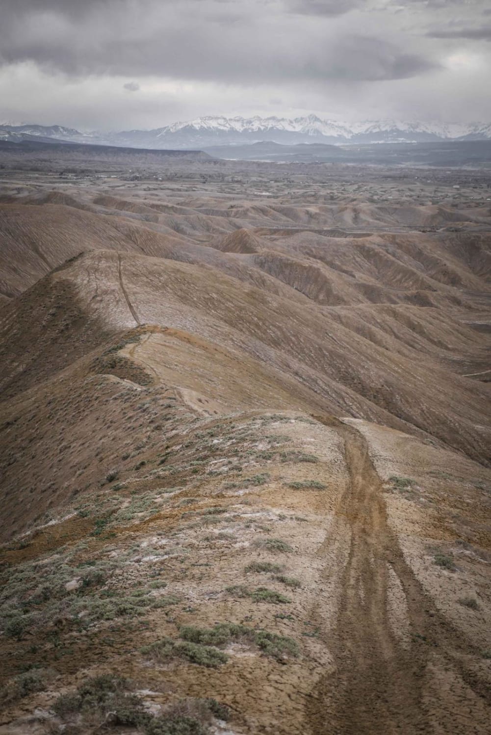
Teton - Kings Ditch Connector
The onX Offroad Difference
onX Offroad combines trail photos, descriptions, difficulty ratings, width restrictions, seasonality, and more in a user-friendly interface. Available on all devices, with offline access and full compatibility with CarPlay and Android Auto. Discover what you’re missing today!
