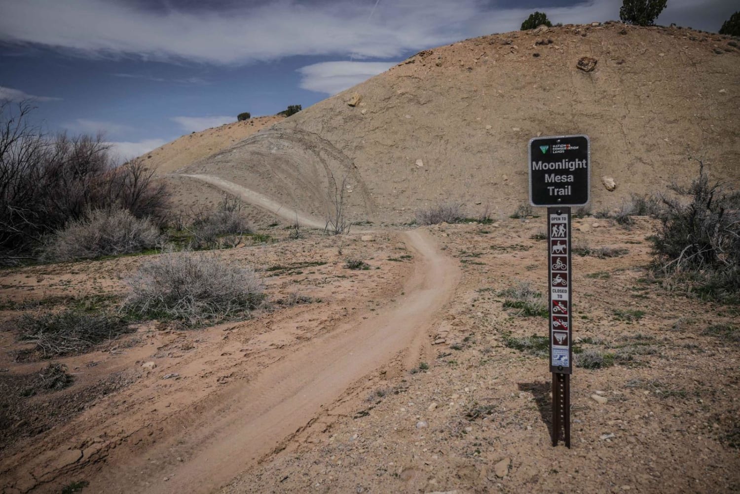
Moonlight Mesa
Total Miles
5.0
Technical Rating
Best Time
Fall, Spring
Trail Type
Single Track
Accessible By
Trail Overview
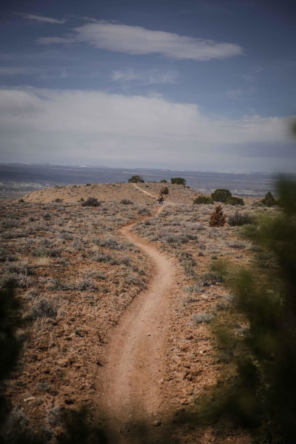
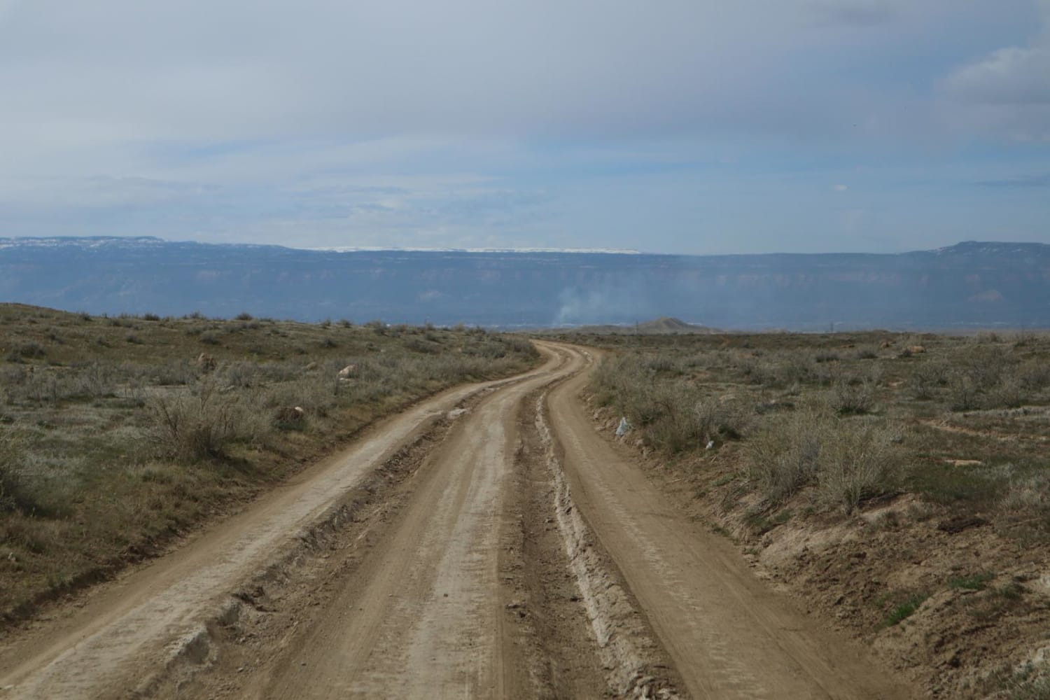
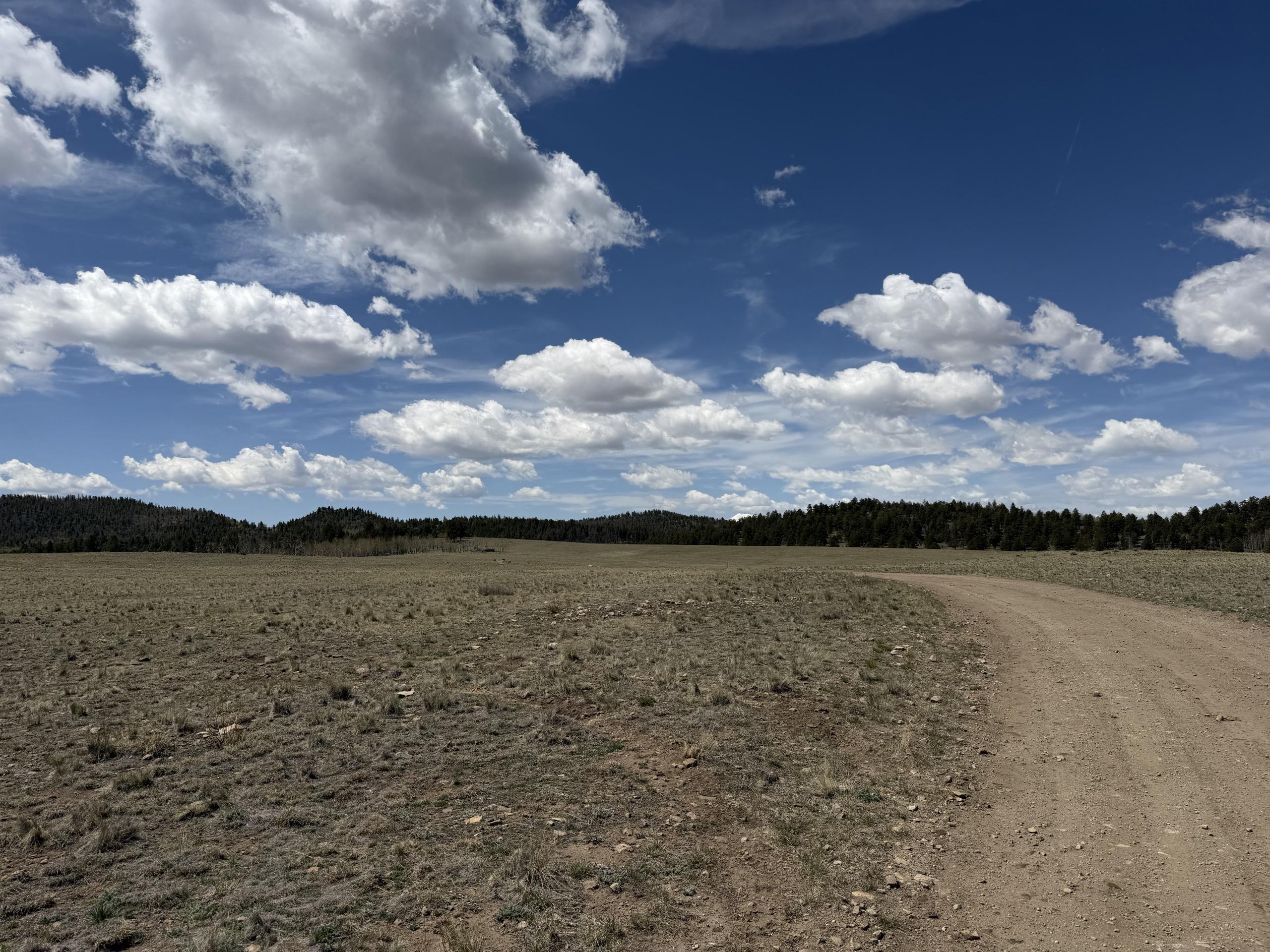
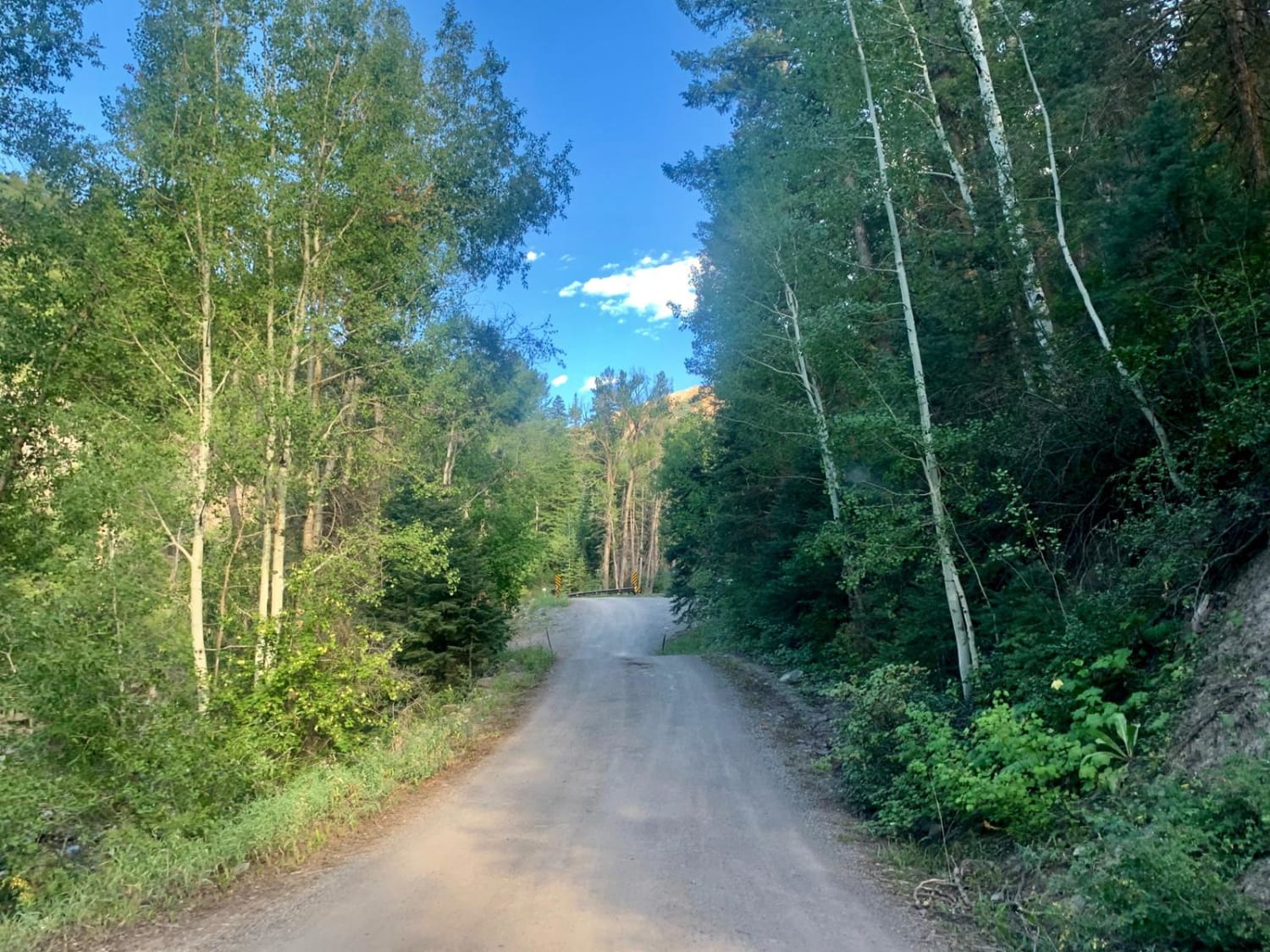
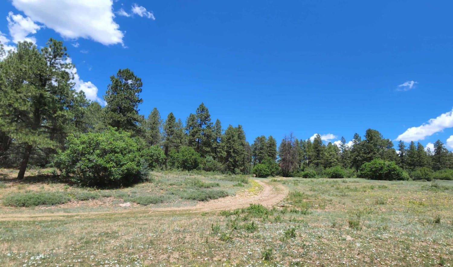
Moonlight Mesa is one of the longer single tracks in the adobe badlands of the Peach Valley Recreation Area. The SE trailhead on Elephant Skin Road is in the back of the adobe badlands where the hills are made up of more dirt and rocks in addition to the adobe clay. The trail drops back down into the adobe hills. The entire trail is a narrow single track with some loose small rocks in the trail, but is mostly smooth with no big obstacles or rock ledges. It crosses several ravines with big G-outs you have to watch out for if going too fast. There are frequent trail signs throughout the trail, but it's best to use a GPS for this one because it skirts near private property, and part of it goes through an open riding area with lots of tracks, and some of the turns can be easy to miss. About a quarter of the way in to the trail near the private property, the trail starts to head north. If you miss this turn you'll end up going past a couple ponds, through a fence, and then picking the trail back up from the side of a dirt road. There's lots of whoops throughout the entire trail. The first half of the trail is more level, flat and easy. The second half of the trail is full of adobe ridge lines that are more narrow and climbs and descents that are way more steep, with some loose small rock. The trail goes through a really incredible landscape looking over the badlands. One part of the trail drops into an arroyo lined with bushes and crosses a wooden bridge. In combination with a few other trails, this is a good way to get from the Elephant Skin Staging Area over to the staging area on Chukar Road that accesses more rocky trails.
Photos of Moonlight Mesa
Difficulty
This is a narrow, but easy, ridge line trail on adobe clay with easy hill climbs and descents on smooth surface, with no significant obstacles.
Status Reports
Moonlight Mesa can be accessed by the following ride types:
- Dirt Bike
Moonlight Mesa Map
Popular Trails
Mesa County Road 25
West Columbine Gulch Road
Cty Rd 14. - Dexter Creek Rd
Dry Canyon A Road
The onX Offroad Difference
onX Offroad combines trail photos, descriptions, difficulty ratings, width restrictions, seasonality, and more in a user-friendly interface. Available on all devices, with offline access and full compatibility with CarPlay and Android Auto. Discover what you’re missing today!