Moab Trail
Total Miles
1.2
Technical Rating
Best Time
Summer, Fall
Trail Type
Single Track
Accessible By
Trail Overview
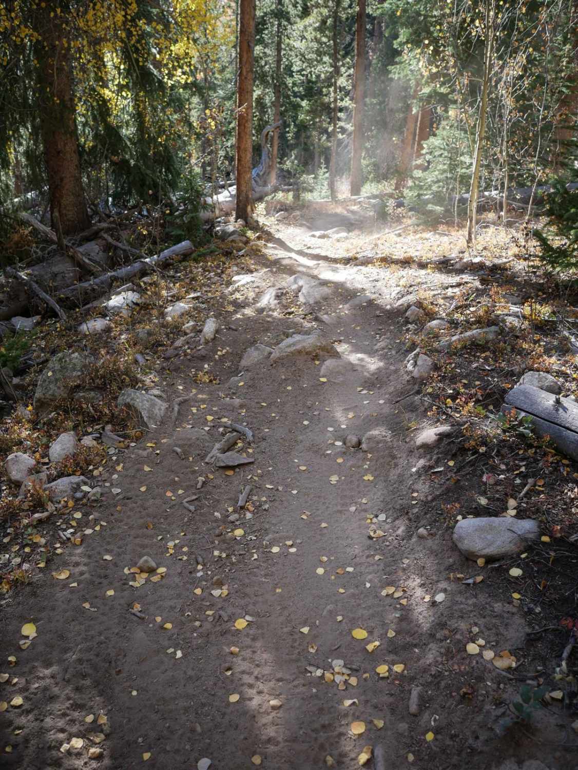
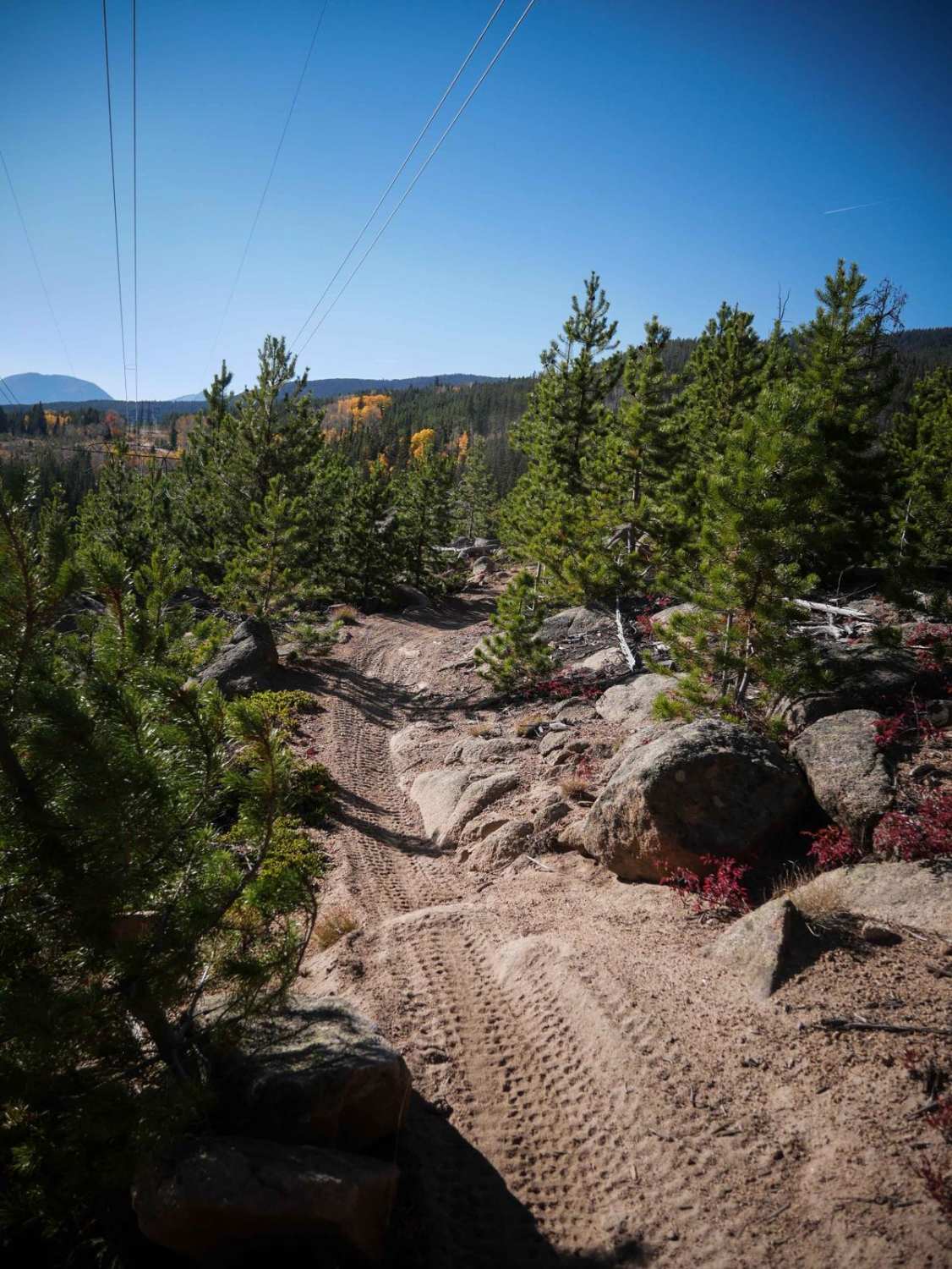
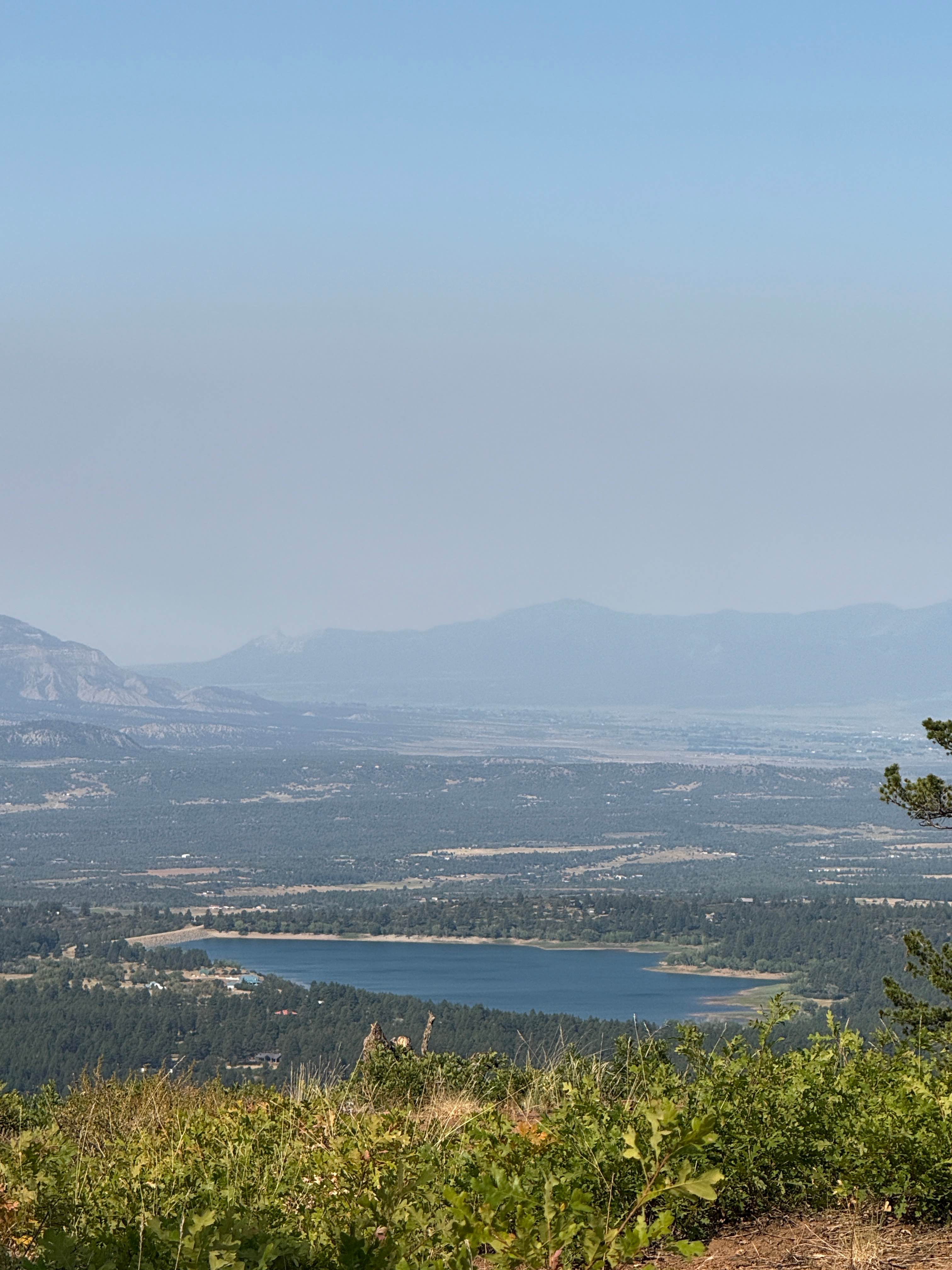
The short Moab Trail starts off of Frey Gulch Road at a pinch point, near the end of the Powerline Trail. It winds up through the pine trees, traversing across the mountain, with awesome views of Keystone Ski Resort. It's a bit shelfy and narrow in some spots as it follows the edge of the mountain, flowing around the corners. There are a few embedded rocks in the trail here and there that you can ride right over. Watch your pegs on some of the bigger rocks that line the side of the trail. One spot has a bit of embedded slab rock that you ride over that has 6" ledges, but it is very easy, and there's nothing particularly difficult on this trail. You ride under some powerlines, and it ends on another section of Frey Gulch Road. This trail is open 7/1 - 10/9 to motorized use.
Photos of Moab Trail
Difficulty
This is an easy single track that has a few harder features like narrow and shelfy spots, and a couple 6" ledges, but it remains easy and manageable for most beginner riders.
Status Reports
Moab Trail can be accessed by the following ride types:
- Dirt Bike
Moab Trail Map
Popular Trails
Blacktail Creek
Forest Service Road 331 D1

The onX Offroad Difference
onX Offroad combines trail photos, descriptions, difficulty ratings, width restrictions, seasonality, and more in a user-friendly interface. Available on all devices, with offline access and full compatibility with CarPlay and Android Auto. Discover what you’re missing today!