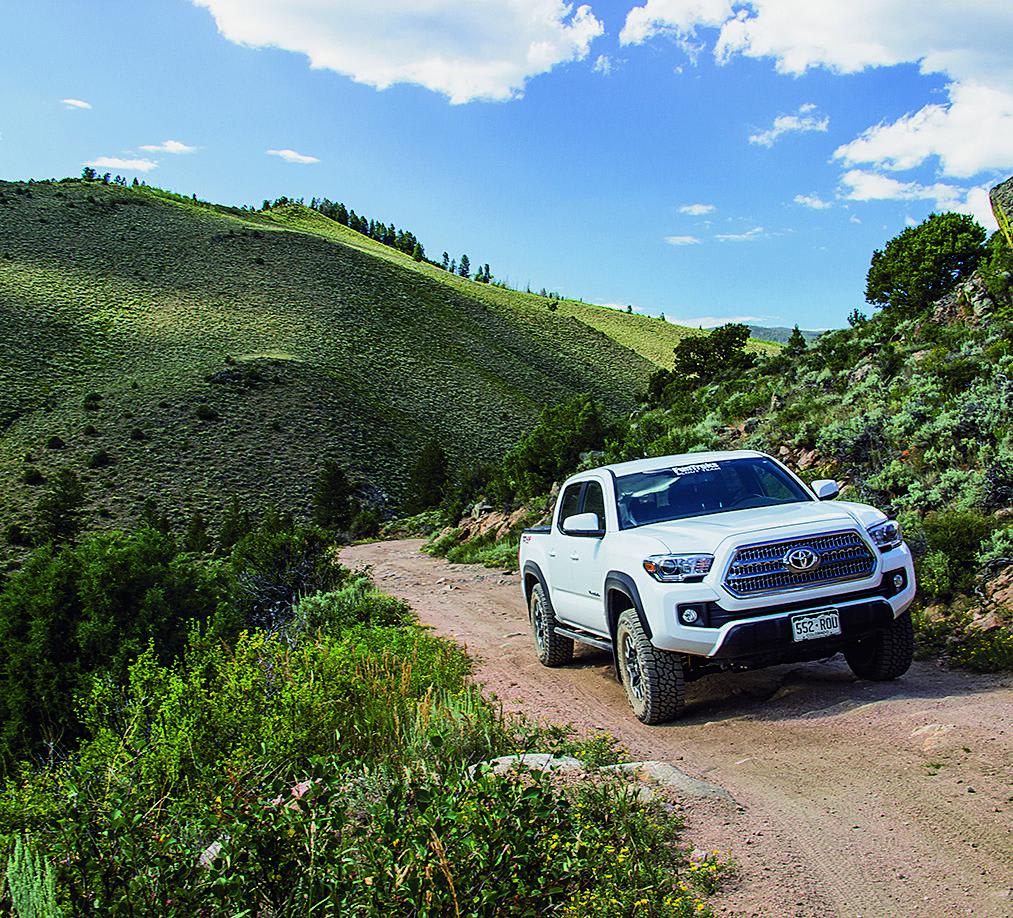
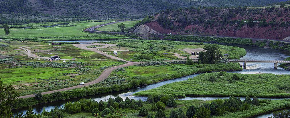
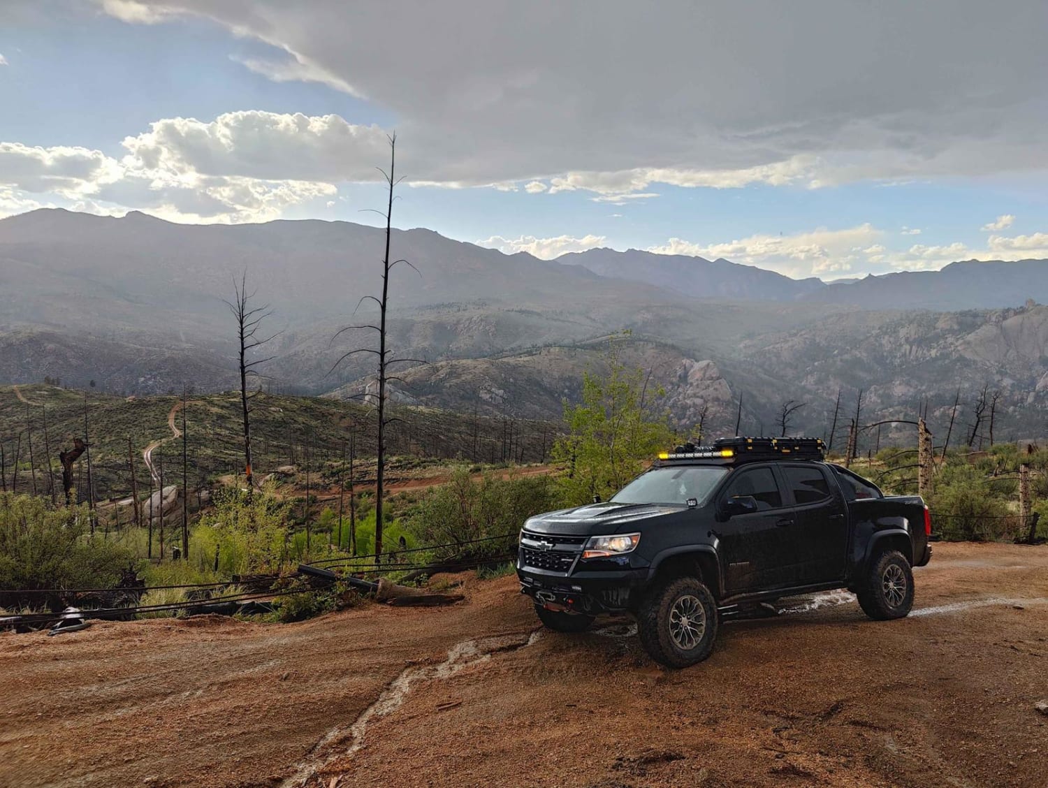
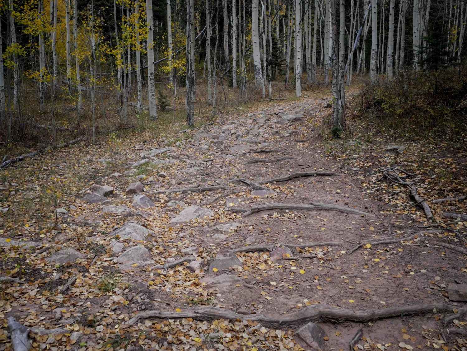
Blacktail Creek
Total Miles
31.2
Technical Rating
Best Time
Summer, Fall
Trail Type
Full-Width Road
Accessible By
Trail Overview
A portion of this route travels through Routt National Forest, and unlicensed vehicles are permitted. The last section of the trail is incredibly beautiful with views of the Colorado River meandering through a large valley. There is some good camping along the last ten miles. No seasonal closures.
Photos of Blacktail Creek
Difficulty
Easy. Mildly steep, narrow and rocky in a few places. C.R. 11 has some tight curves along a high shelf road.
History
Kremmling was first called Kinsey City, and had a post office from 1881 to 1885. By 1895, the town was known as Kremmling, named after its founder, Rudolph Kremmling. In 1906, the railroad reached Kremmling and the town became a major shipping point for the region. Today Kremmling is a quiet mountain town with a population of about 1,500.
Status Reports
Blacktail Creek can be accessed by the following ride types:
- High-Clearance 4x4
- SUV
- SxS (60")
- ATV (50")
- Dirt Bike
Blacktail Creek Map
Popular Trails

Longwater Gulch

Broken Shovel
The onX Offroad Difference
onX Offroad combines trail photos, descriptions, difficulty ratings, width restrictions, seasonality, and more in a user-friendly interface. Available on all devices, with offline access and full compatibility with CarPlay and Android Auto. Discover what you’re missing today!