Lead King Basin
Total Miles
7.9
Technical Rating
Best Time
Spring, Fall
Trail Type
Full-Width Road
Accessible By
Trail Overview
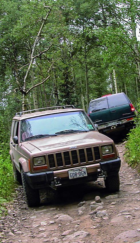
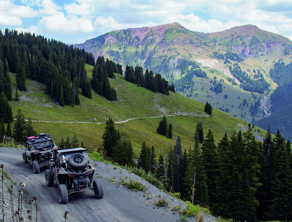
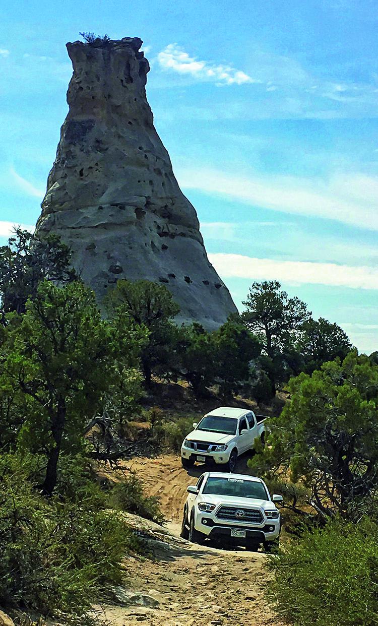
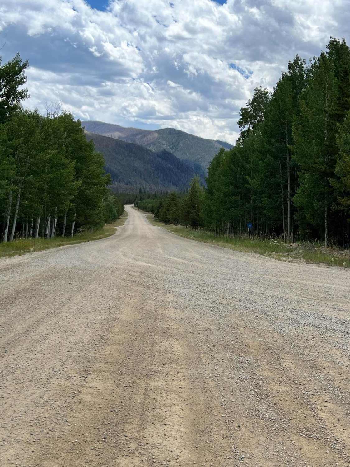
This is a classic off-road trail that offers great scenery and beautiful seasonal colors. For a loop, take this trail with Devil's Punchbowl. Unlicensed vehicles are permitted and can stage just south of the fire station.
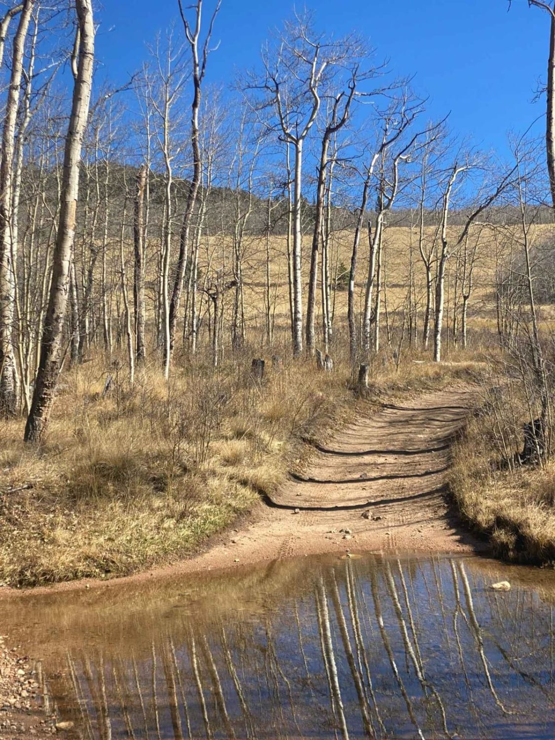
Photos of Lead King Basin
Difficulty
Difficult. Rating based on a few rocky spots and stretches of narrow shelf road where it is difficult to pass. An experienced driver can get a stock, high-clearance, 4x4 SUV through when the trail is dry. West end is steep and very slippery when wet.
Status Reports
Lead King Basin can be accessed by the following ride types:
- High-Clearance 4x4
- SUV
- SxS (60")
- ATV (50")
- Dirt Bike
Lead King Basin Map
Popular Trails
Williams Fork Road - FS 138
Wahl - FS 809
The onX Offroad Difference
onX Offroad combines trail photos, descriptions, difficulty ratings, width restrictions, seasonality, and more in a user-friendly interface. Available on all devices, with offline access and full compatibility with CarPlay and Android Auto. Discover what you’re missing today!