Jefferson Lake Road
Total Miles
4.0
Technical Rating
Best Time
Summer, Fall
Trail Type
Full-Width Road
Accessible By
Trail Overview
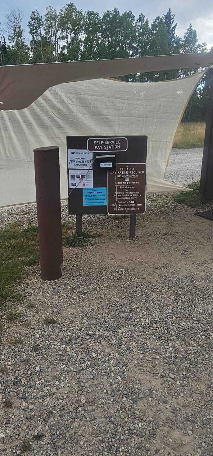
Jefferson Lake Road is used to access three popular Pike National Forest service campgrounds, several picnic areas, and the Jefferson Lake (reservoir). It also intersects the Colorado Trail. Prior to the construction of I70, Jefferson Lake was extremely popular and very built up by the forest service. The picnic areas have restrooms, picnic tables, and grills. The lake has a boat ramp for non-wake, electric vessels. This is a USFS Fee area and a per-vehicle fee ($10) or season pass can be purchased at the non non-staffed entrance. The road is 2-lane gravel for the first 2.7 miles and then single-lane blacktop for the steeper climb to the lake. There are no dispersed camping, shooting, or campfires (outside of fire rings) allowed. At about the halfway point you will pass by one of the largest beaver dam complexes around.
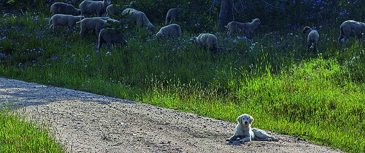
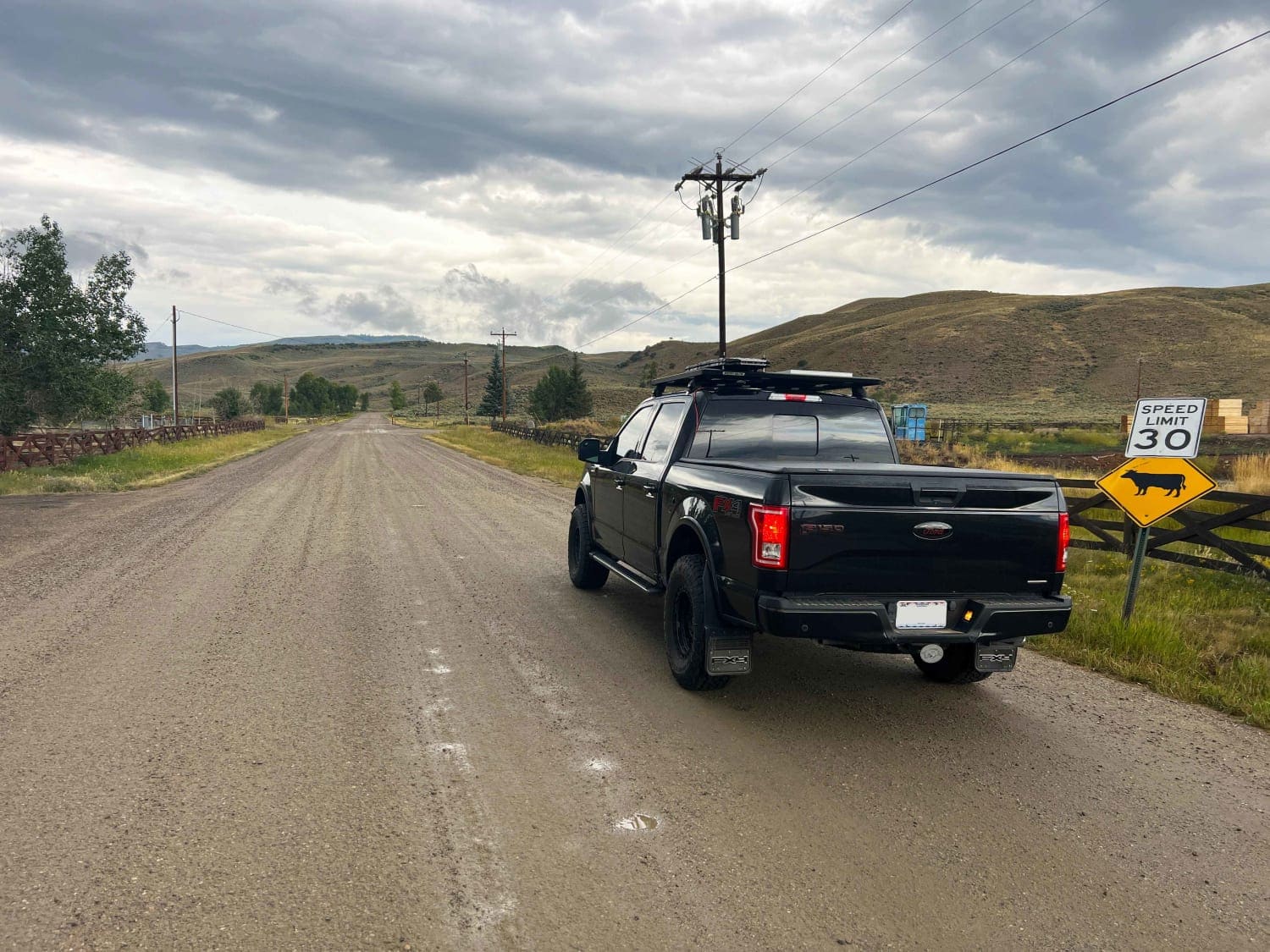
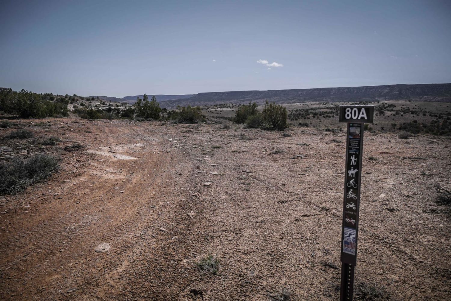
Photos of Jefferson Lake Road
Difficulty
This is a good gravel road suitable for any vehicle and is now partially paved.
History
Jefferson Lake was an extremely popular summer destination prior to the completion of I70 and the much larger Dillon Reservoir. Jefferson lake is a reservoir that former naturally via a landslide, and then we further built up in the 1920s. It is now owned by the City of Aurora, CO.
Status Reports
Jefferson Lake Road can be accessed by the following ride types:
- High-Clearance 4x4
- SUV
Jefferson Lake Road Map
Popular Trails

Farwell Mountain via Lost Dog

Saran Wrap Road - FS 370D

Grouse Mountain
The onX Offroad Difference
onX Offroad combines trail photos, descriptions, difficulty ratings, width restrictions, seasonality, and more in a user-friendly interface. Available on all devices, with offline access and full compatibility with CarPlay and Android Auto. Discover what you’re missing today!


