Gross Reservoir
Total Miles
2.5
Technical Rating
Best Time
Summer, Fall
Trail Type
Full-Width Road
Accessible By
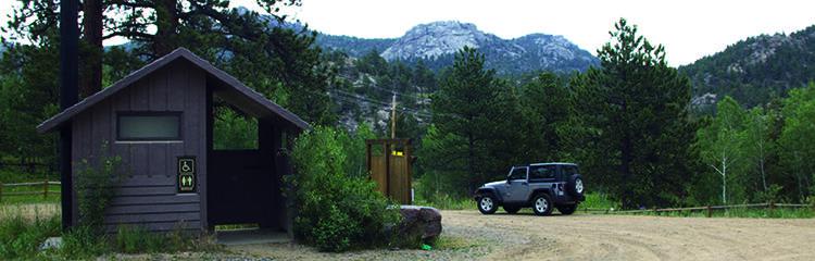
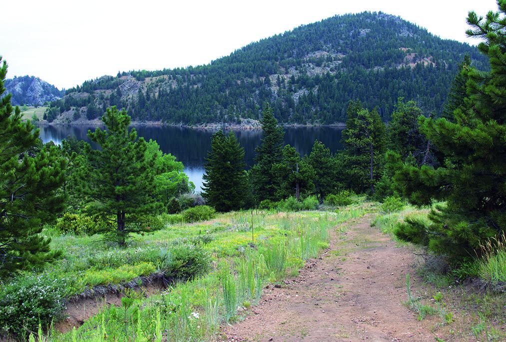
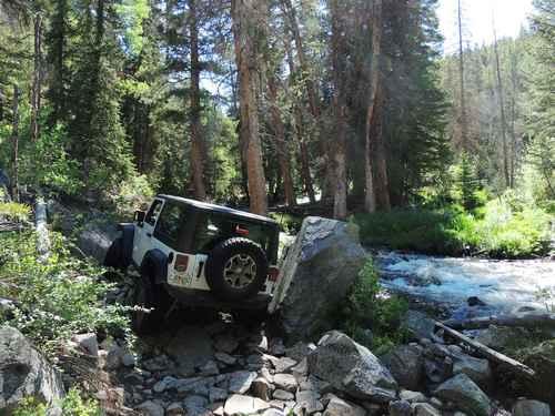
Trail Overview
This is a super fun, single lane road to amazing camping. You'll camp above the reservoir and fish, canoe, kayak and relax. No swimming. Open to licensed and unlicensed vehicles. Trail is open from May 15 to November 30.
Photos of Gross Reservoir
Difficulty
Easy. Route has small ledges and one steep, chewed-up hill (likely caused by two-wheel-drive vehicles spinning tires during climbs). Fourwheel drive and higher ground clearance is recommended. Road is very narrow in spots and backing may be necessary to get around oncoming vehicles.
History
Reservoir Expansion: At the time of this writing, a project was underway to raise the dam 131 ft., which would nearly triple capacity of reservoir. Our map shows the approximate location of the new shoreline. The road ends at a new parking lot at Waypoint 03. Access to campsites around the parking area is by hiking and horseback only.
Status Reports
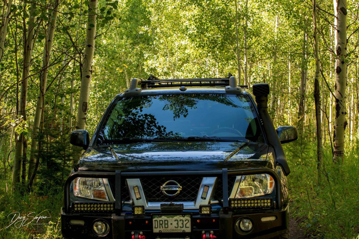
Gross Reservoir can be accessed by the following ride types:
- High-Clearance 4x4
- SUV
- SxS (60")
- ATV (50")
- Dirt Bike
Gross Reservoir Map
Popular Trails
Ponds Express ATV Trail

Double Top Trail #405
Fitzpatrick Co Road
Slaughterhouse Gulch
The onX Offroad Difference
onX Offroad combines trail photos, descriptions, difficulty ratings, width restrictions, seasonality, and more in a user-friendly interface. Available on all devices, with offline access and full compatibility with CarPlay and Android Auto. Discover what you’re missing today!