Grays Creek Trail
Total Miles
4.5
Technical Rating
Best Time
Spring, Summer, Fall
Trail Type
Single Track
Accessible By
Trail Overview
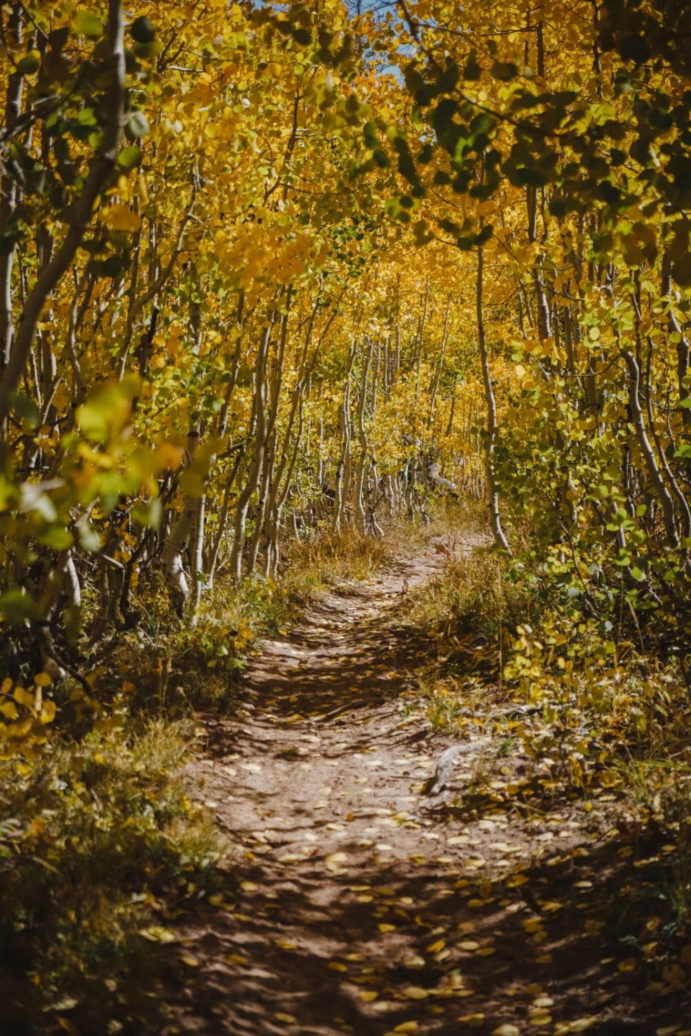
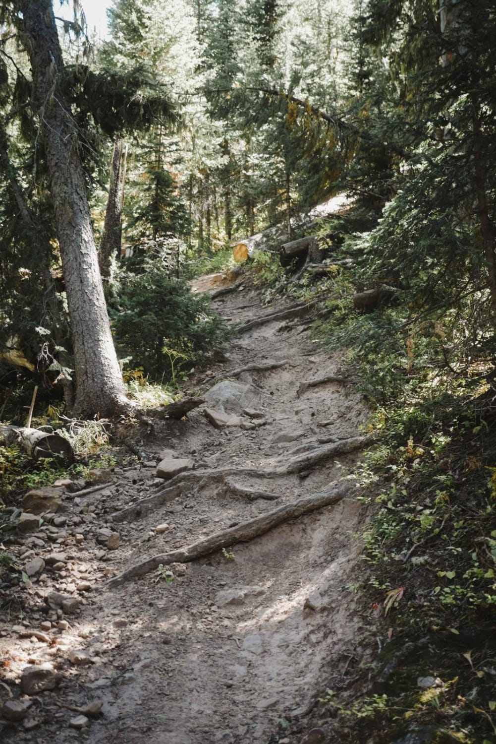
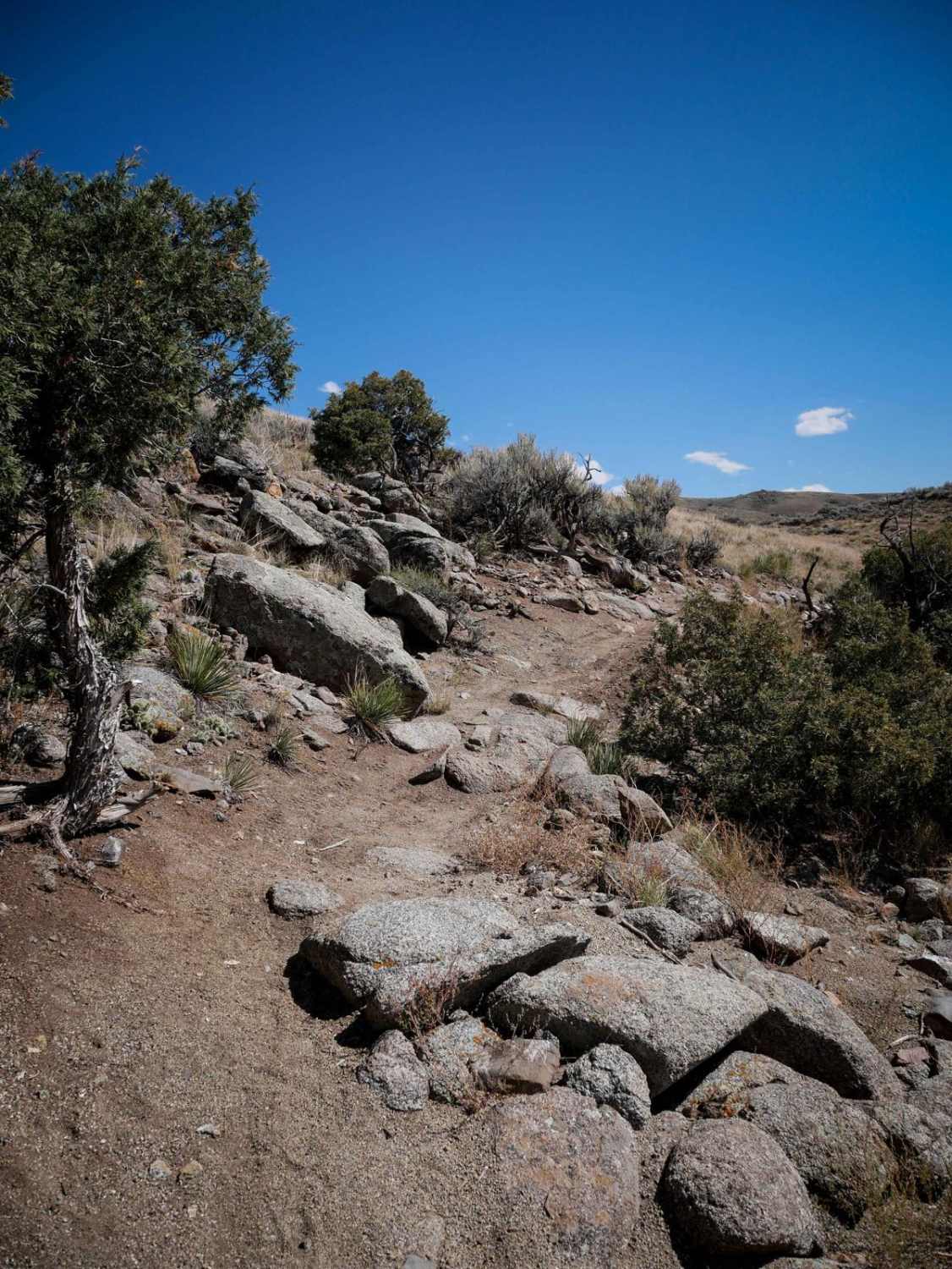
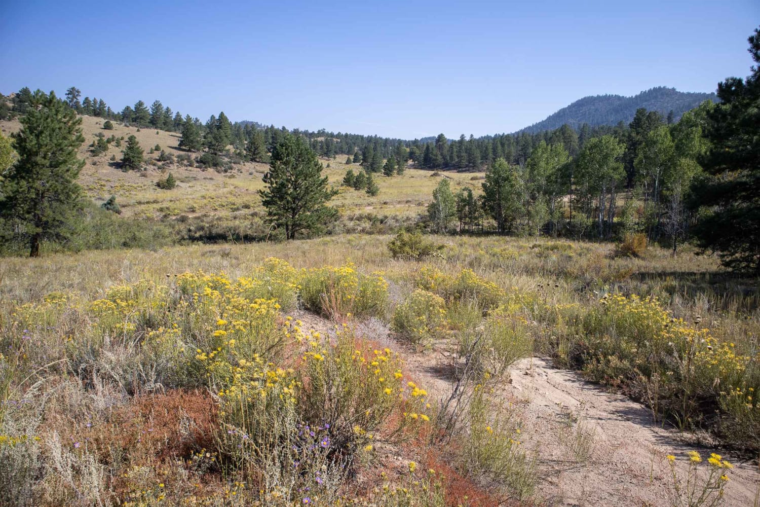
Grays Creek is a fun 4.6-mile single-track in the Uncompahgre National Forest west of Montrose, Colorado. The west half of the trail is relatively easy but has lots of tree roots through the pine trees and some tight, windy sections. Watch your feet on the logs and stumps sticking out from the sides of the trail. The east half of the trail climbs up from a tiny creek and has a couple of tight switchbacks with some rocks that add a challenge. This half is much more challenging than the first half. It side-hills some but isn't crazy hard. It goes through a beautiful forest of aspens that are really pretty in autumn. It also goes through a couple of small sections of downed branches and logging debris that is not difficult, but you have to pick your way through it to continue the trail. It's easy to miss the reconnection after the debris.
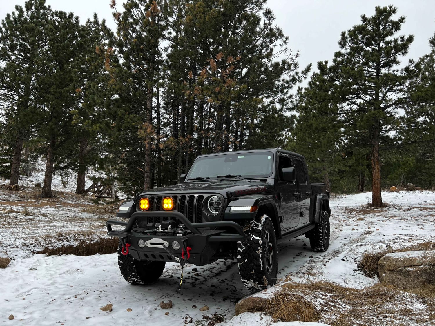
Photos of Grays Creek Trail
Difficulty
This is an intermediate single-track trail with rocky switchbacks and lots of tree roots across the trail.
Status Reports
Grays Creek Trail can be accessed by the following ride types:
- Dirt Bike
Grays Creek Trail Map
Popular Trails
Lower Section of East Fork San Juan River Rd-Fr 667
Bald Mountain Gulch 2
The onX Offroad Difference
onX Offroad combines trail photos, descriptions, difficulty ratings, width restrictions, seasonality, and more in a user-friendly interface. Available on all devices, with offline access and full compatibility with CarPlay and Android Auto. Discover what you’re missing today!