Georgia Pass
Total Miles
6.0
Technical Rating
Best Time
Summer, Fall
Trail Type
Full-Width Road
Accessible By
Trail Overview
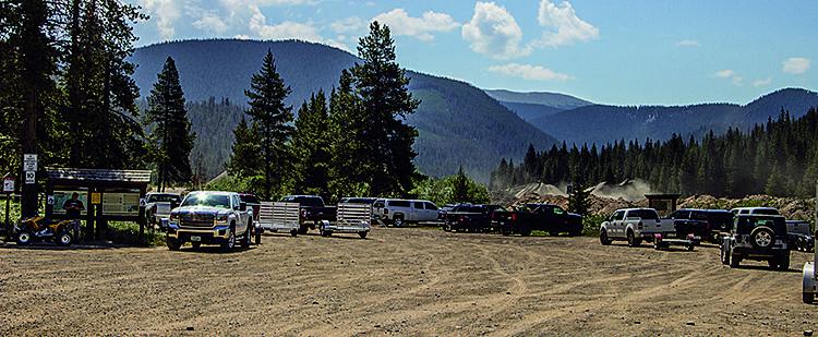
This short mountain pass offers camping and an option to make it longer and more challenging by returning across Glacier Peak. To return to Denver, you'll go southeast from the pass on gravel roads to Jefferson.
Photos of Georgia Pass
Difficulty
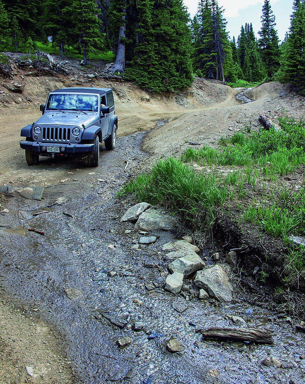
Moderate. Very steep and chewed-up near the top, but not quite bad enough to be rated difficult yet. You'll need 4-wheel drive, low range gearing and high ground clearance. Novice drivers will find it challenging.
History
Georgia Pass was the most popular way to reach Breckenridge from the south in the early 1860s. Thousands of eager miners brought their wagons over the pass and down through the Swan River Valley. Eventually Boreas Pass and Hoosier Pass became the more popular routes, and Georgia Pass was abandoned. Dredge mining continues on the west end of Tiger Road, but much of the larger dredged area has now been reclaimed.
Status Reports
Georgia Pass can be accessed by the following ride types:
- High-Clearance 4x4
- SUV
- SxS (60")
- ATV (50")
- Dirt Bike
Georgia Pass Map
Popular Trails
Lead King Basin

Mule Mountain Spur 2
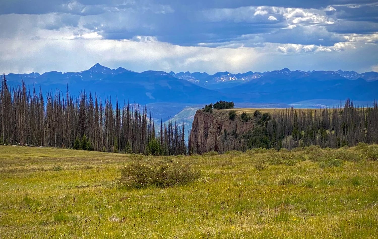
Bristol Head - MF 532
The onX Offroad Difference
onX Offroad combines trail photos, descriptions, difficulty ratings, width restrictions, seasonality, and more in a user-friendly interface. Available on all devices, with offline access and full compatibility with CarPlay and Android Auto. Discover what you’re missing today!
