Dump Ridge
Total Miles
2.7
Technical Rating
Best Time
Fall, Spring
Trail Type
Single Track
Accessible By
Trail Overview
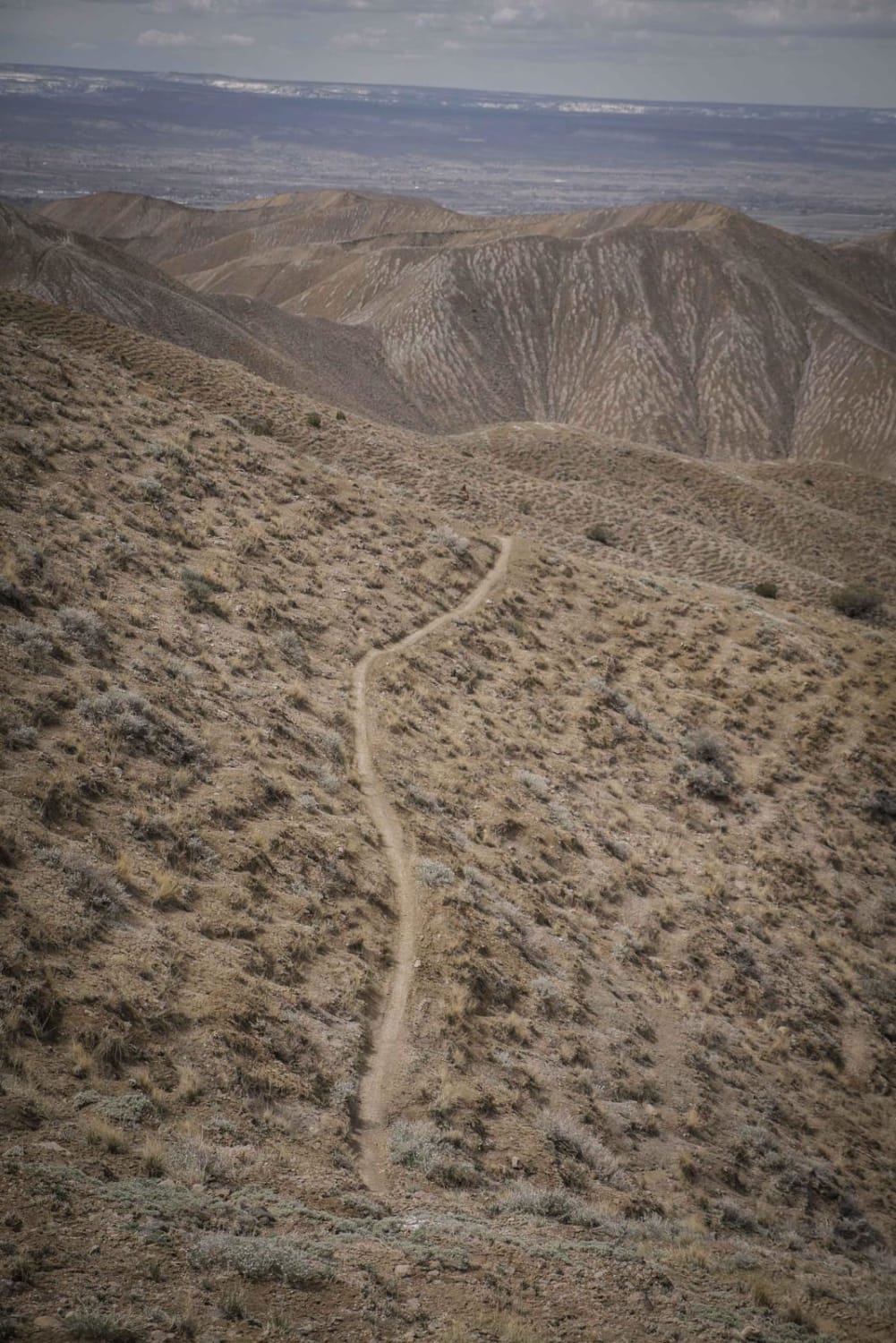
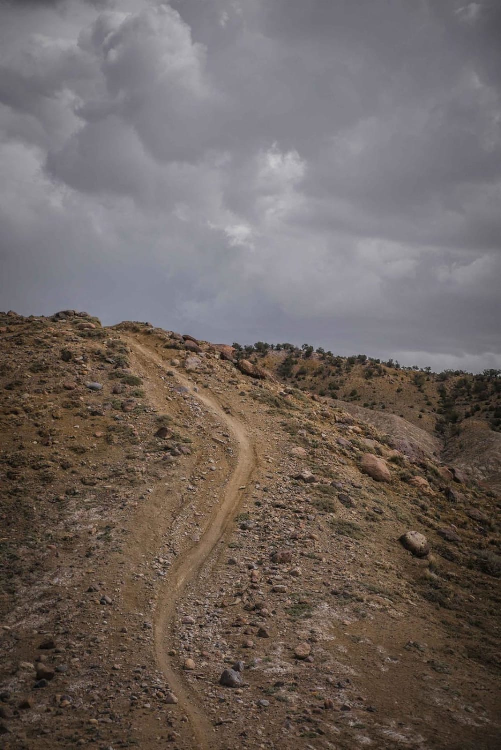
Dump Ridge is a single track in the adobe badlands of the Flat Top - Peach Valley Recreation Area. The trail follows a ridge line on top of the adobe clay hills with lots of ups and downs. It is very similar to the other ridge trails in the area, but Dump Ridge ends at a bit higher elevation where the badlands start to reach the pine trees and rocks start to line the trail and the terrain starts to change. There is a shelfy section near the eastern end where you have to do a bit more side-hilling for about half a mile. The side-hilling makes it more difficult because you have to pay attention more compared to when you are on top of the ridge. The easternmost end of the trail ends at a fence with a gate to access some of the other single-track trails. As you lose elevation from NE to SW, the rest of the trail is gradual adobe hill climbs and descents. It turns into a road when you get to the landfill and heads down to Botswick Park Road. There are whoops on a lot of the climbs, and trail markers at most intersections and frequently throughout the trail.
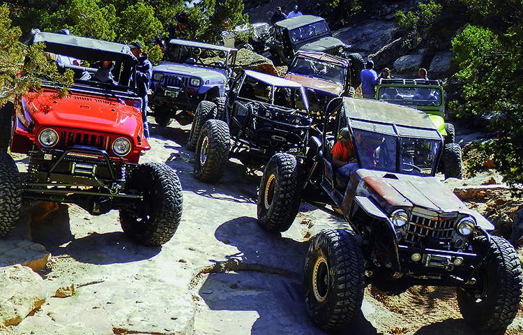
Photos of Dump Ridge
Difficulty
The difficulty comes from the steep adobe hill climbs and narrow trail on the ridge lines, but the trail itself is smooth with no rocks and no obstacles.
Status Reports
Dump Ridge can be accessed by the following ride types:
- Dirt Bike
Dump Ridge Map
Popular Trails
Browns Pass Trail #739
Billings Canyon
The onX Offroad Difference
onX Offroad combines trail photos, descriptions, difficulty ratings, width restrictions, seasonality, and more in a user-friendly interface. Available on all devices, with offline access and full compatibility with CarPlay and Android Auto. Discover what you’re missing today!