Derbishire Gulch Road - FS 143
Total Miles
3.1
Technical Rating
Best Time
Summer, Fall
Trail Type
Full-Width Road
Accessible By
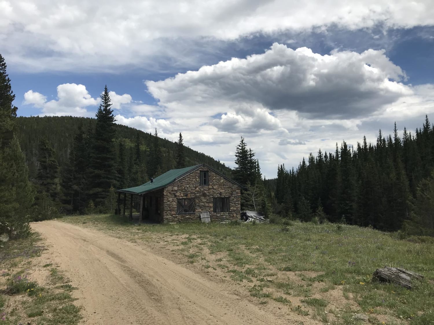
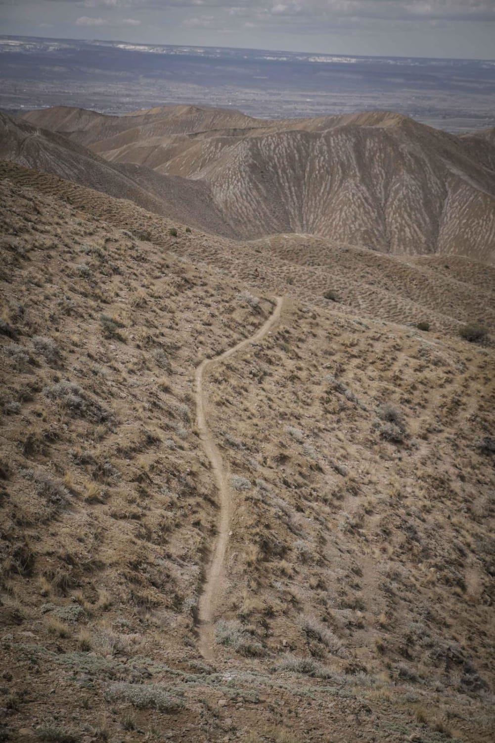
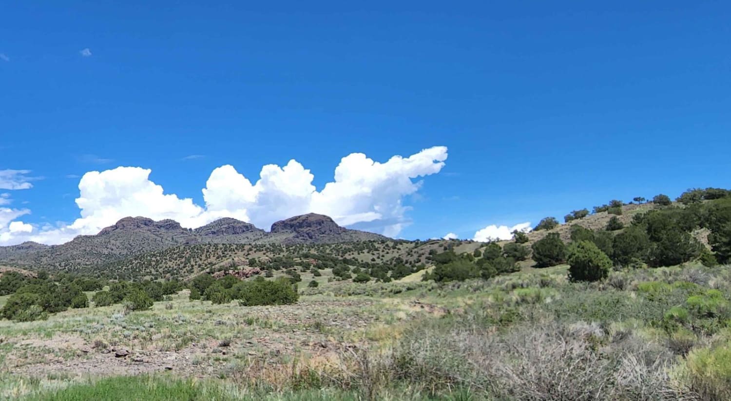
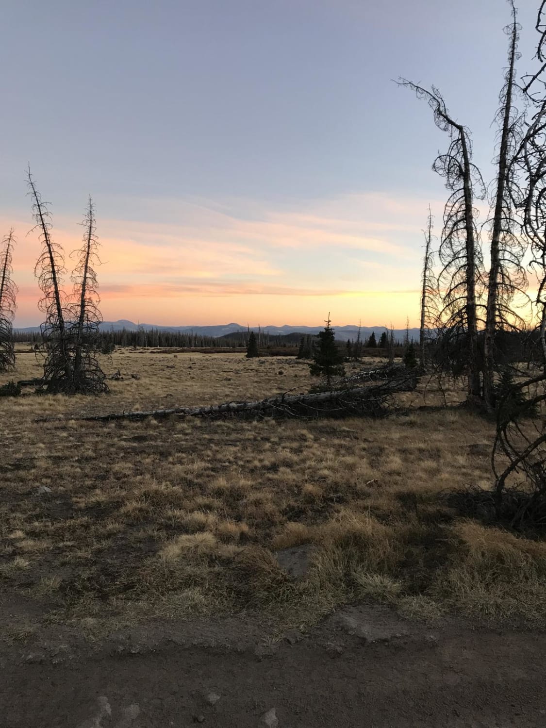
Trail Overview
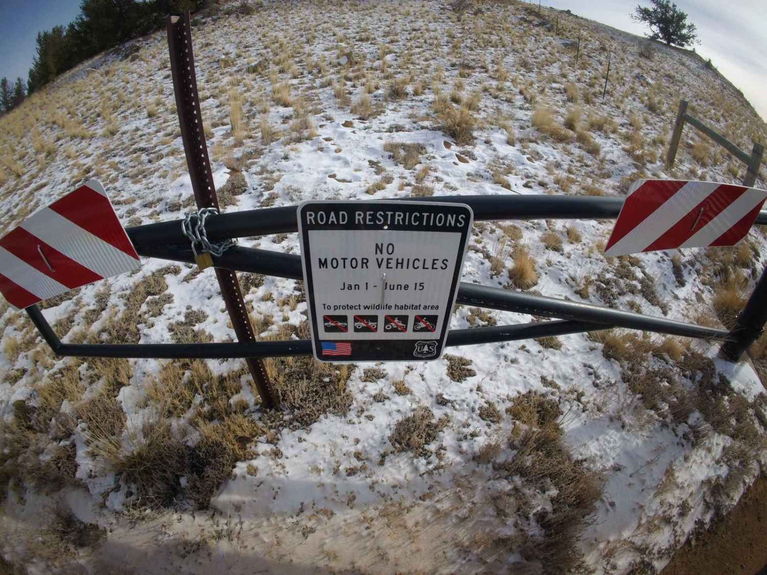
Derbishire Gulch Road begins off Park County 77 directly across from the Tarryall Reservoir and runs North to the east side of the Lost Creek Wilderness, where it ends in the Lost Ranch Neighborhood. It passes by several seasonal cold springs, used primarily for cattle. Numerous dispersed campsites are available. This trail passes through a State Wildlife Area, which requires a valid hunting or fishing license and does not permit OHVs.
Photos of Derbishire Gulch Road - FS 143

Difficulty
This is a typical one-lane dirt road with occasional rocks and ruts.
Status Reports
Derbishire Gulch Road - FS 143 can be accessed by the following ride types:
- High-Clearance 4x4
- SUV
Derbishire Gulch Road - FS 143 Map
Popular Trails
N Clear Creek Road
The onX Offroad Difference
onX Offroad combines trail photos, descriptions, difficulty ratings, width restrictions, seasonality, and more in a user-friendly interface. Available on all devices, with offline access and full compatibility with CarPlay and Android Auto. Discover what you’re missing today!