6102F
Total Miles
1.5
Technical Rating
Best Time
Spring, Summer, Fall, Winter
Trail Type
50" Trail
Accessible By
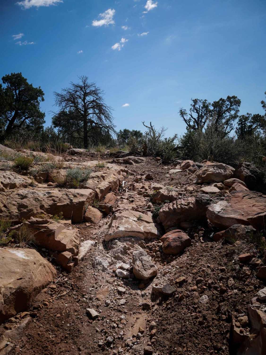
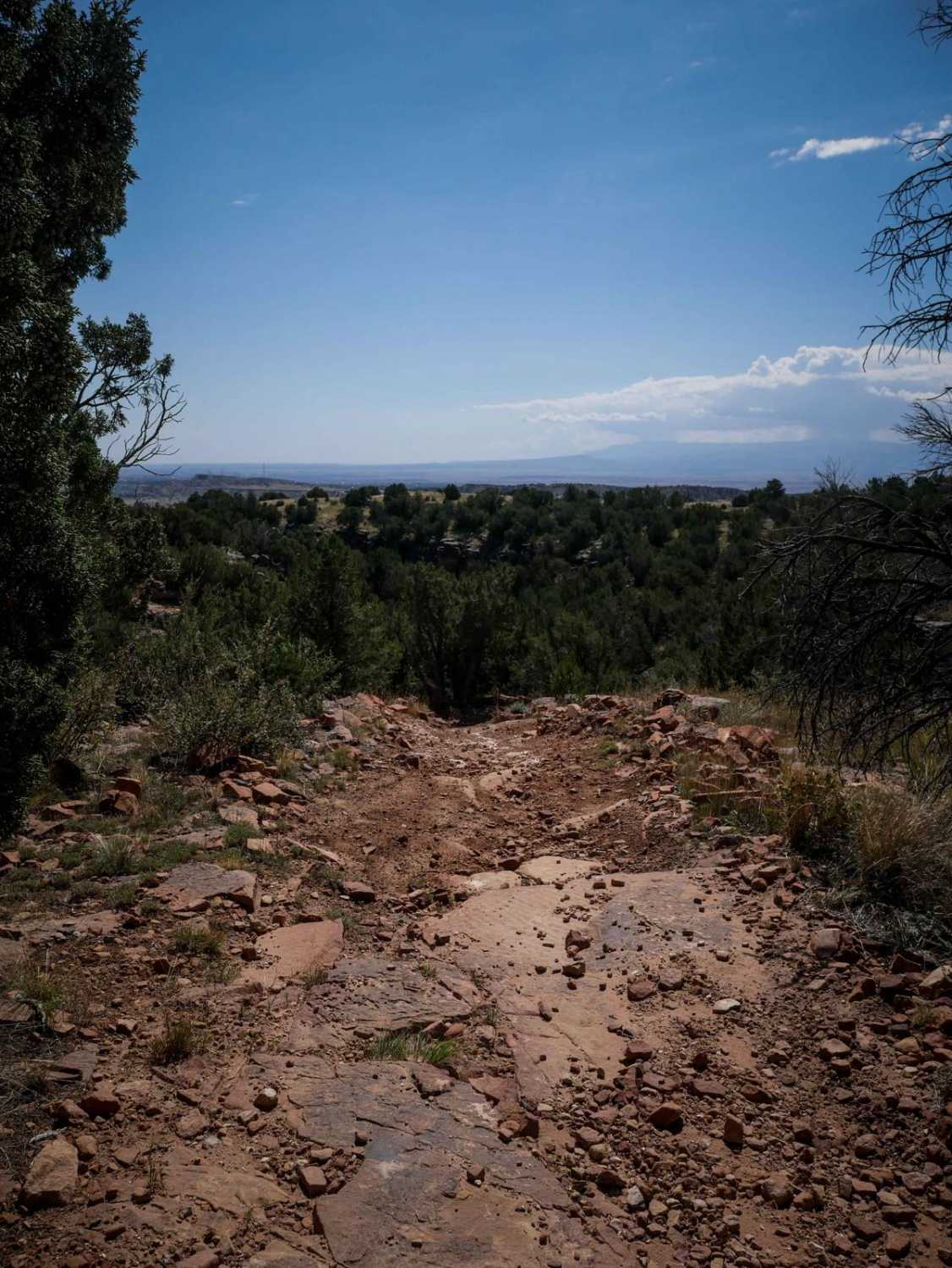
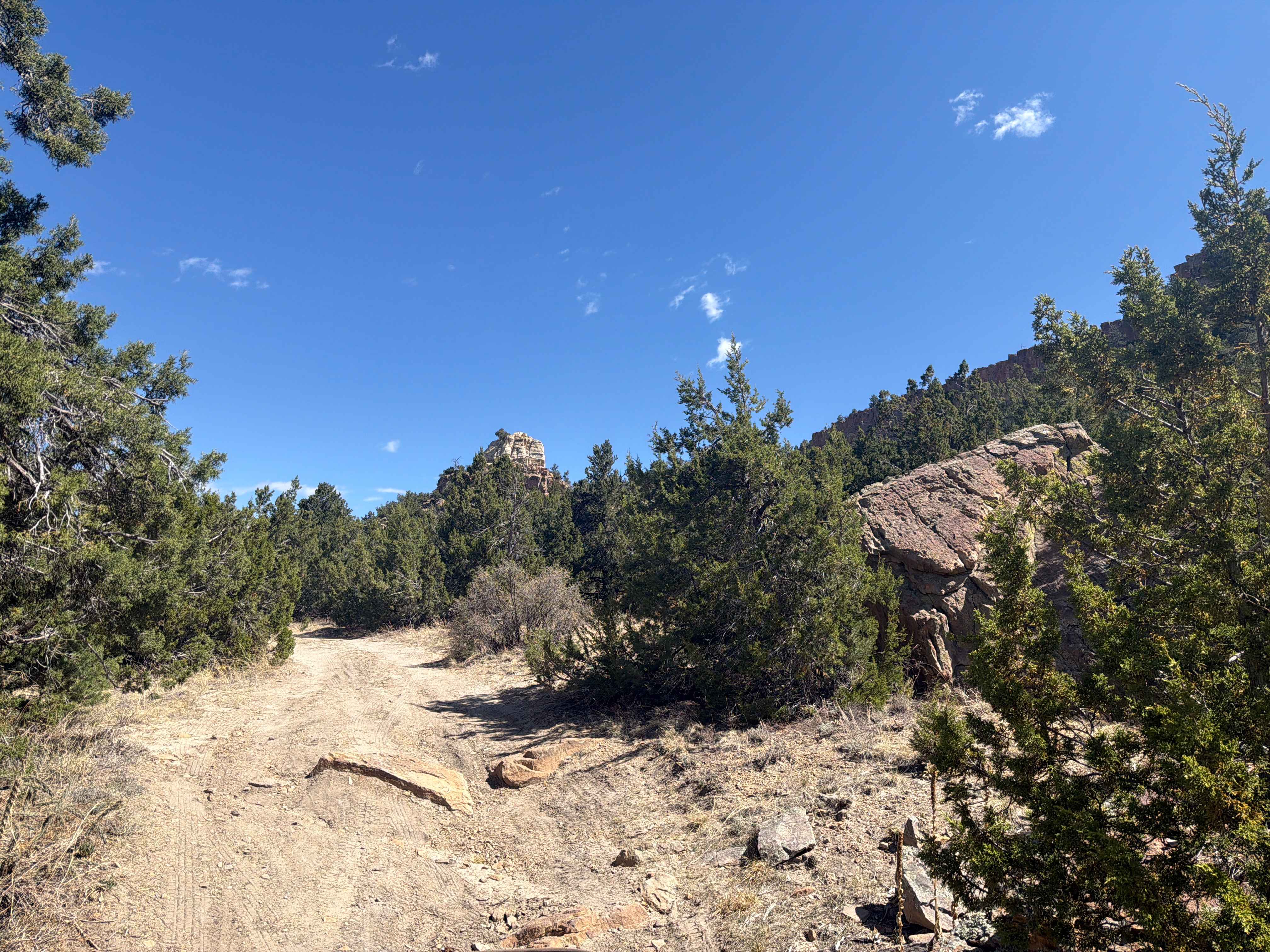
Trail Overview
The 6102F ATV trail meanders through the Penrose Commons trail system for 1.6 miles, with many easy sections, but also several intermediate rock obstacles that make this trail more interesting and a moderate challenge. From the intersection with 6102B, it descends down, and starts dropping down some small rock ledges and across rock slab layers that are covered in loose dirt. They are foot-tall ledges that are a good challenge right away. It rounds the corner and starts ascending, switchbacking up to another couple of rock ledges that are taller and more blunt. This will be a good test of skill for ATVs coming around the switchback directly into the ledge. The trail ends on BLM Route 6102, where you can connect to several other ATV trails.
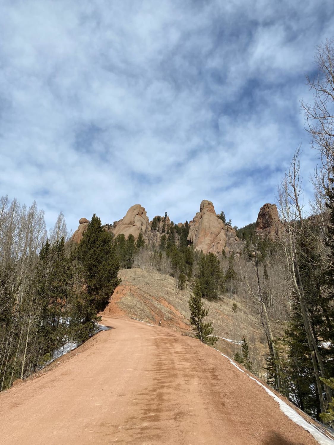
Photos of 6102F
Difficulty
This is an intermediate ATV trail as it has several moderate rock obstacles that will be a decent challenge for ATV riders and will require some technical skill to get up.
Status Reports
6102F can be accessed by the following ride types:
- ATV (50")
- Dirt Bike
6102F Map
Popular Trails
Elkhorn Trail South
Gold Camp Rd to Cripple Creek
The onX Offroad Difference
onX Offroad combines trail photos, descriptions, difficulty ratings, width restrictions, seasonality, and more in a user-friendly interface. Available on all devices, with offline access and full compatibility with CarPlay and Android Auto. Discover what you’re missing today!