6057A ATV
Total Miles
0.8
Technical Rating
Best Time
Spring, Summer, Fall, Winter
Trail Type
50" Trail
Accessible By
Trail Overview
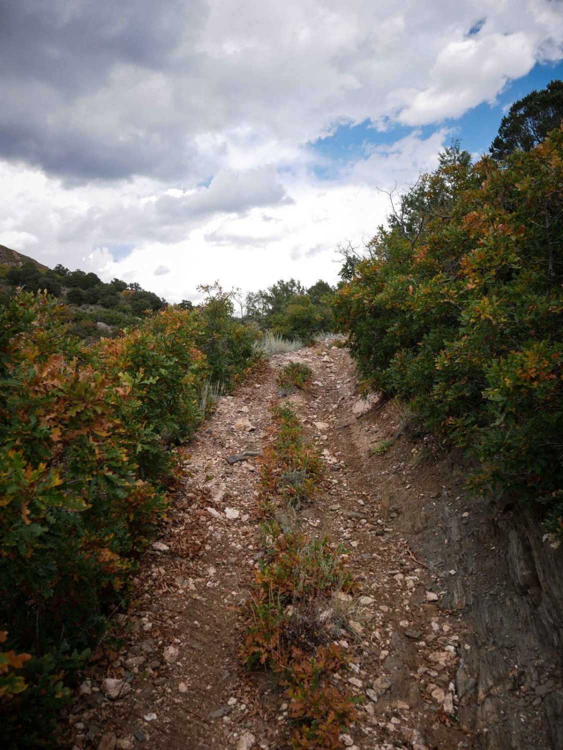
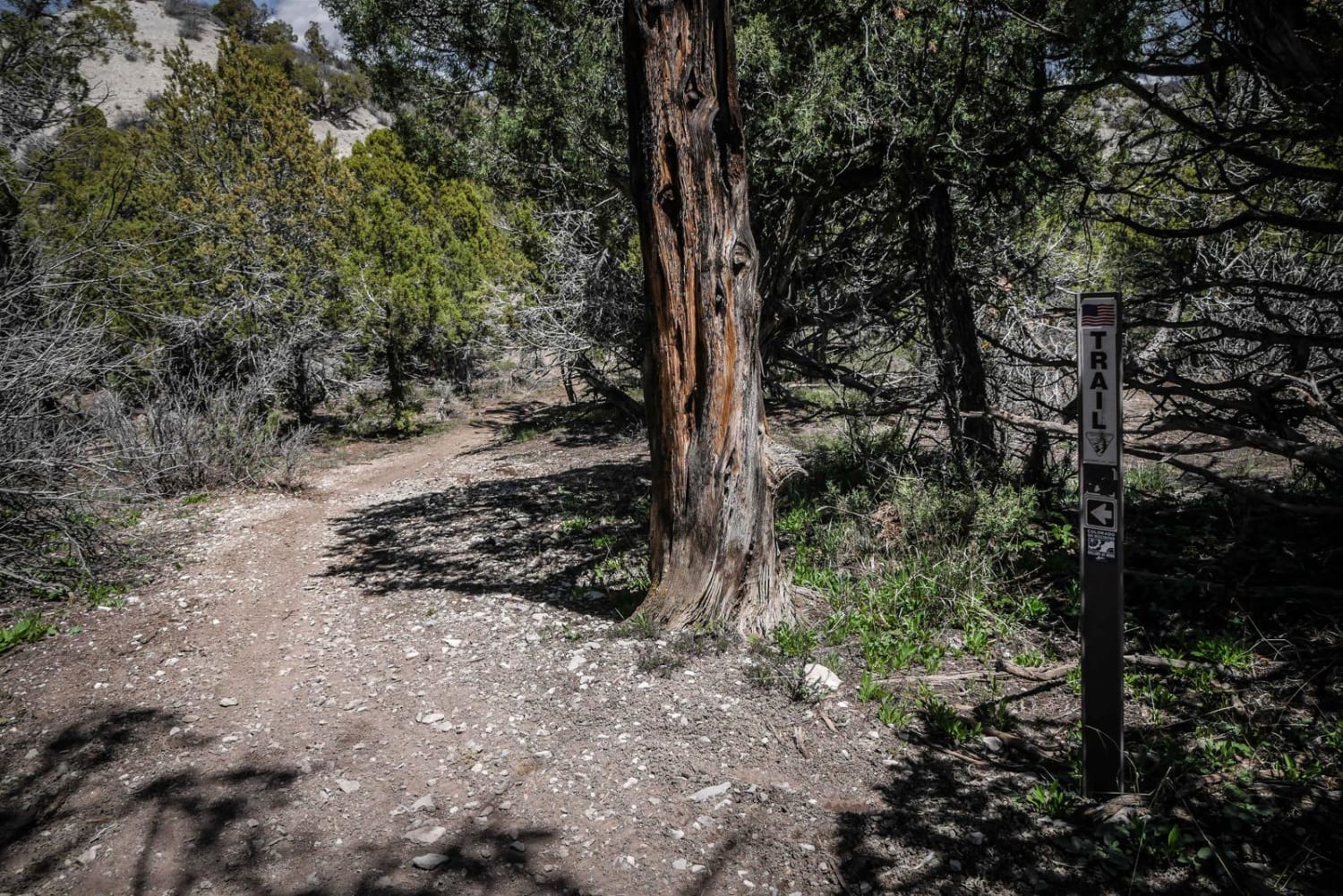
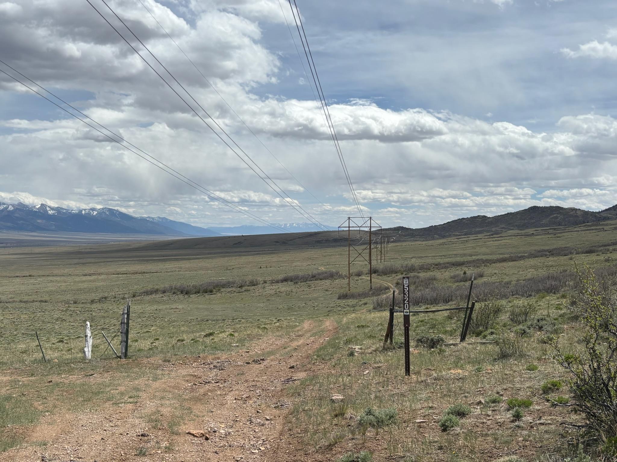
This is a 50" trail that starts in a ravine with bits of loose rock, then climbs up the mountain side on a wide shelfy path covered in loose rocks. The trail is pretty consistently rocky, with ruts, big embedded layers of rock across the trail, and constant little loose rocks filling in the ruts. It's hard to maintain momentum on the steep climb since the surface is so loose. It's a long relentless climb for the entire route, gaining 600 feet in less than a mile. The trail is lined with scrub oak bushes and pinyon pine, and some of the biggest boulders in the trail are near the top of the climb. It finally levels out and ends when it reaches BLM route 6040.
Photos of 6057A ATV

Difficulty
This ATV trail is intermediate difficulty because almost the entire trail is one long hill climb that is super steep and loose and rocky, with 1-foot tall rock ledges at the top, and it would be pretty difficult on an ATV.
Status Reports
6057A ATV can be accessed by the following ride types:
- ATV (50")
- Dirt Bike
6057A ATV Map
Popular Trails
Wild Bill Gulch Road

Spring Creek ATV Trail (East)
High Park Road FR 441
The onX Offroad Difference
onX Offroad combines trail photos, descriptions, difficulty ratings, width restrictions, seasonality, and more in a user-friendly interface. Available on all devices, with offline access and full compatibility with CarPlay and Android Auto. Discover what you’re missing today!