Loop 3
Total Miles
6.3
Technical Rating
Best Time
Spring, Summer, Fall
Trail Type
Single Track
Accessible By
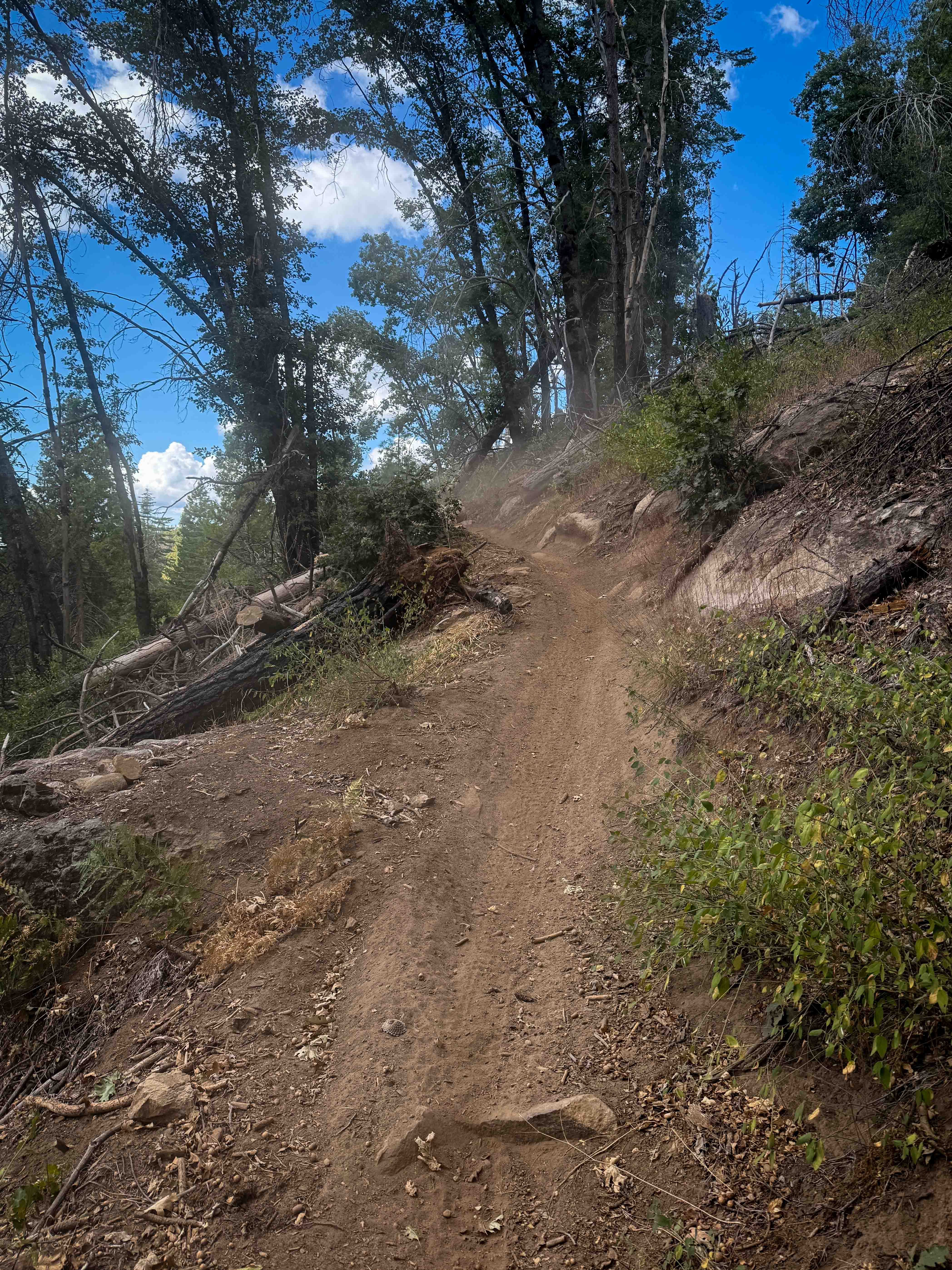
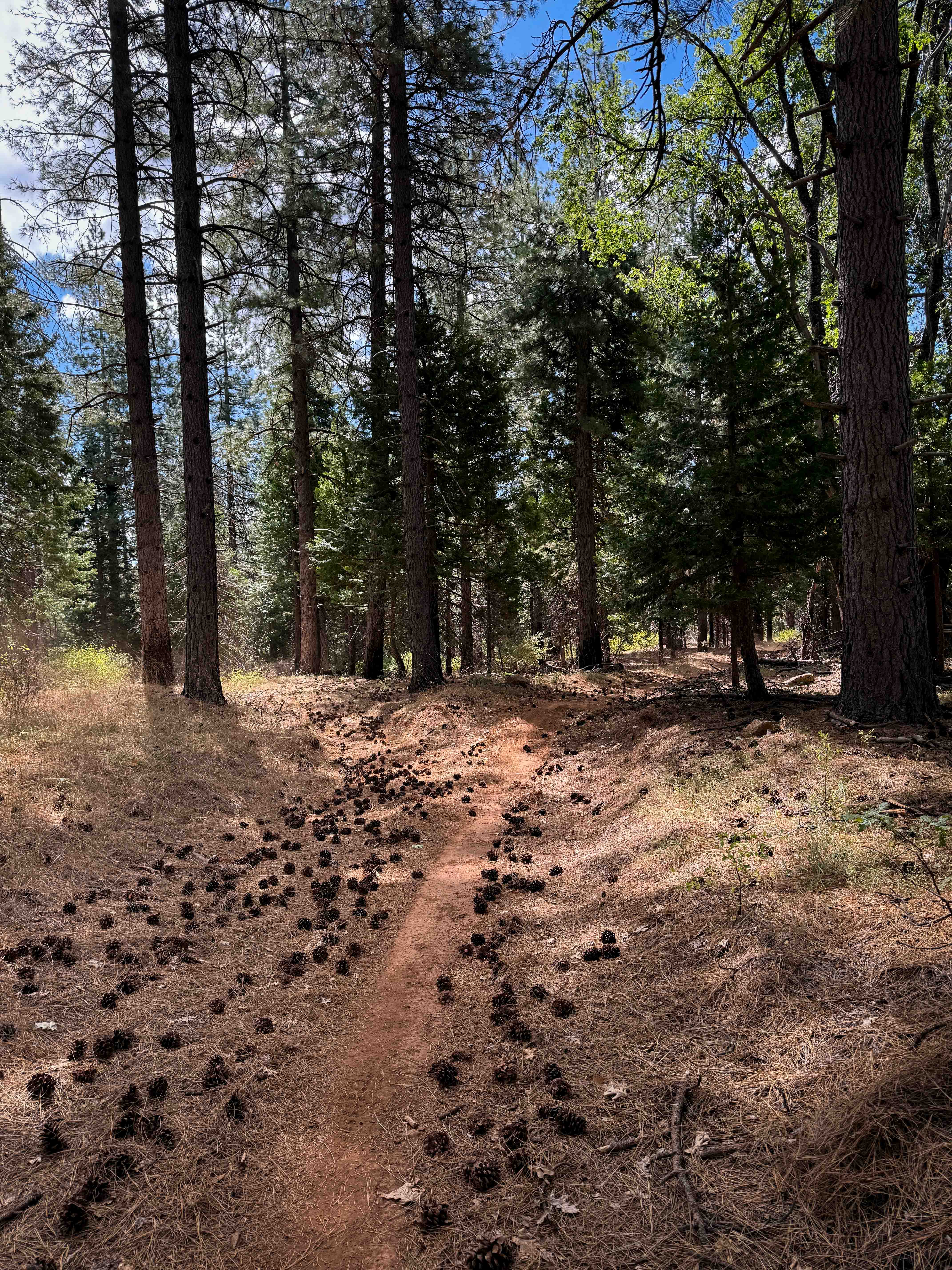
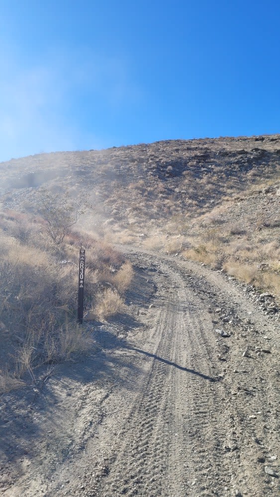
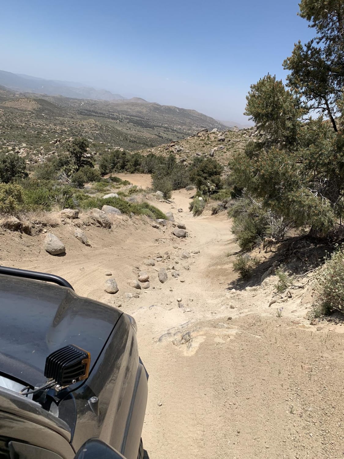
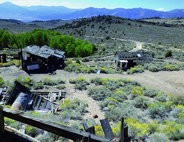
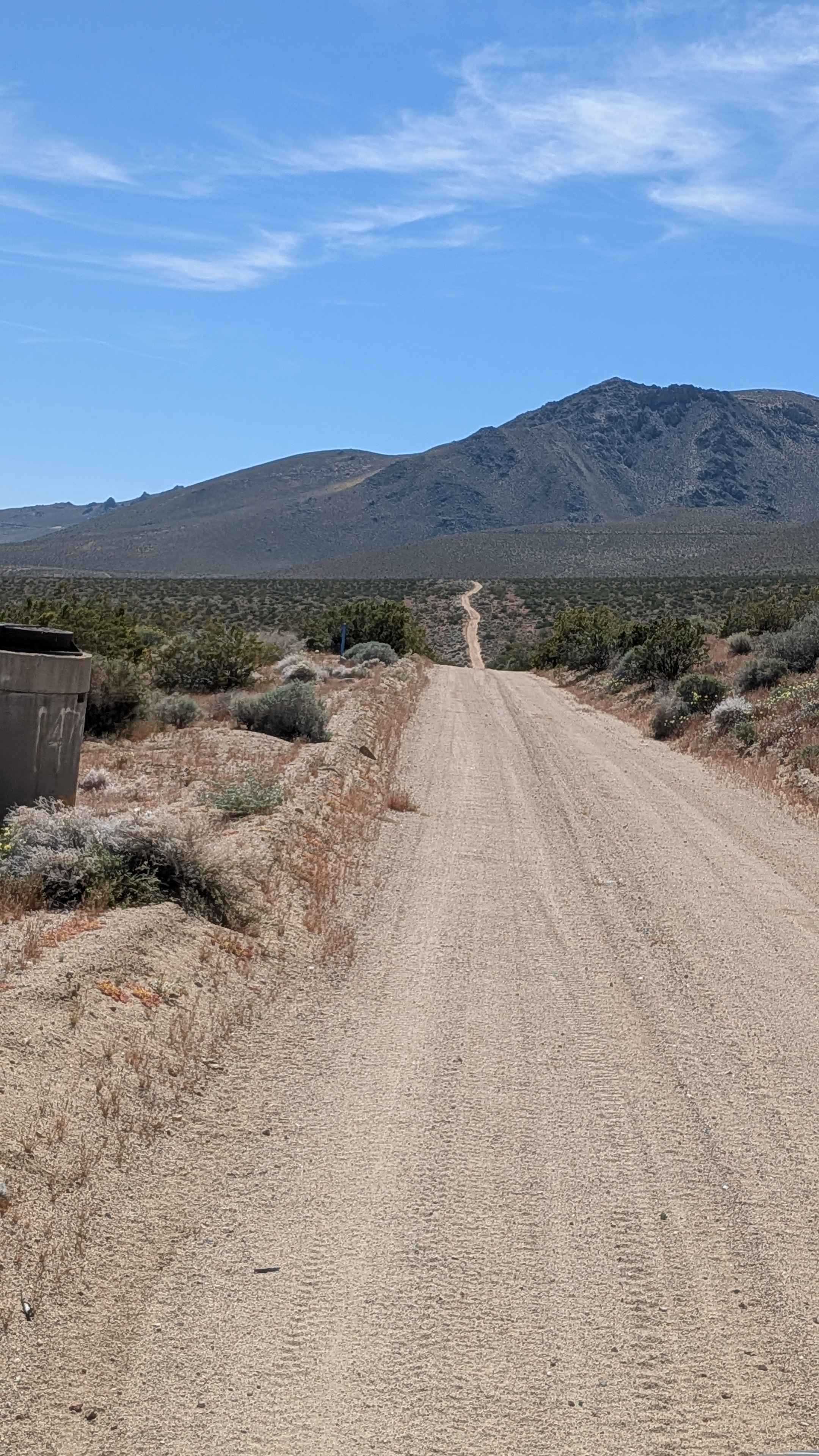
Trail Overview
Loop 3 is a dirt bike trail stretching over 6 miles, starting at Loop 2 on the north end, crossing Sugar Pine Road, and tying into several other dirt bike routes, including Tie 3-5, Tie 3-3, and Tie 3-1. The southern end of the trail forms a 1.5-mile loop. Most of the route is smooth, fast, and flowy, with sections wide enough to feel like an ATV trail. Waterbars, loose pinecones, and the possibility of downed logs add variety, though rocky areas are limited to scattered patches of loose and embedded rock. Some stretches narrow between the bushes, while other parts remain wide and straightforward. Two-way traffic is permitted throughout, and connections to Tie 3-6 and Tie 3-3 make it easy to extend the ride. Fences occasionally line the trail to keep riders on route, and intersections are clearly marked, including a wider road segment between the intersections with Tie 3-5 and Tie 3-3. The most technical portion appears on the northern end, where the trail climbs along a narrower exposed hillside shelf near the Tie 3-5 intersection.
Photos of Loop 3
Difficulty
This is an easy trail because the majority of it is wide, smooth, and flowy with minimal rocky sections. There are some more exposed sections on the north end with a bit of climbing, but it is still approachable for more beginner riders.
Status Reports
Loop 3 can be accessed by the following ride types:
- Dirt Bike
Loop 3 Map
Popular Trails
Aquaduct Service Road Grapevine Canyon - BLM LA2
The onX Offroad Difference
onX Offroad combines trail photos, descriptions, difficulty ratings, width restrictions, seasonality, and more in a user-friendly interface. Available on all devices, with offline access and full compatibility with CarPlay and Android Auto. Discover what you’re missing today!