Poison Springs WMA - Campsite C-10 to C-29 and C-54
Total Miles
6.1
Technical Rating
Best Time
Spring, Summer, Fall, Winter
Trail Type
Full-Width Road
Accessible By
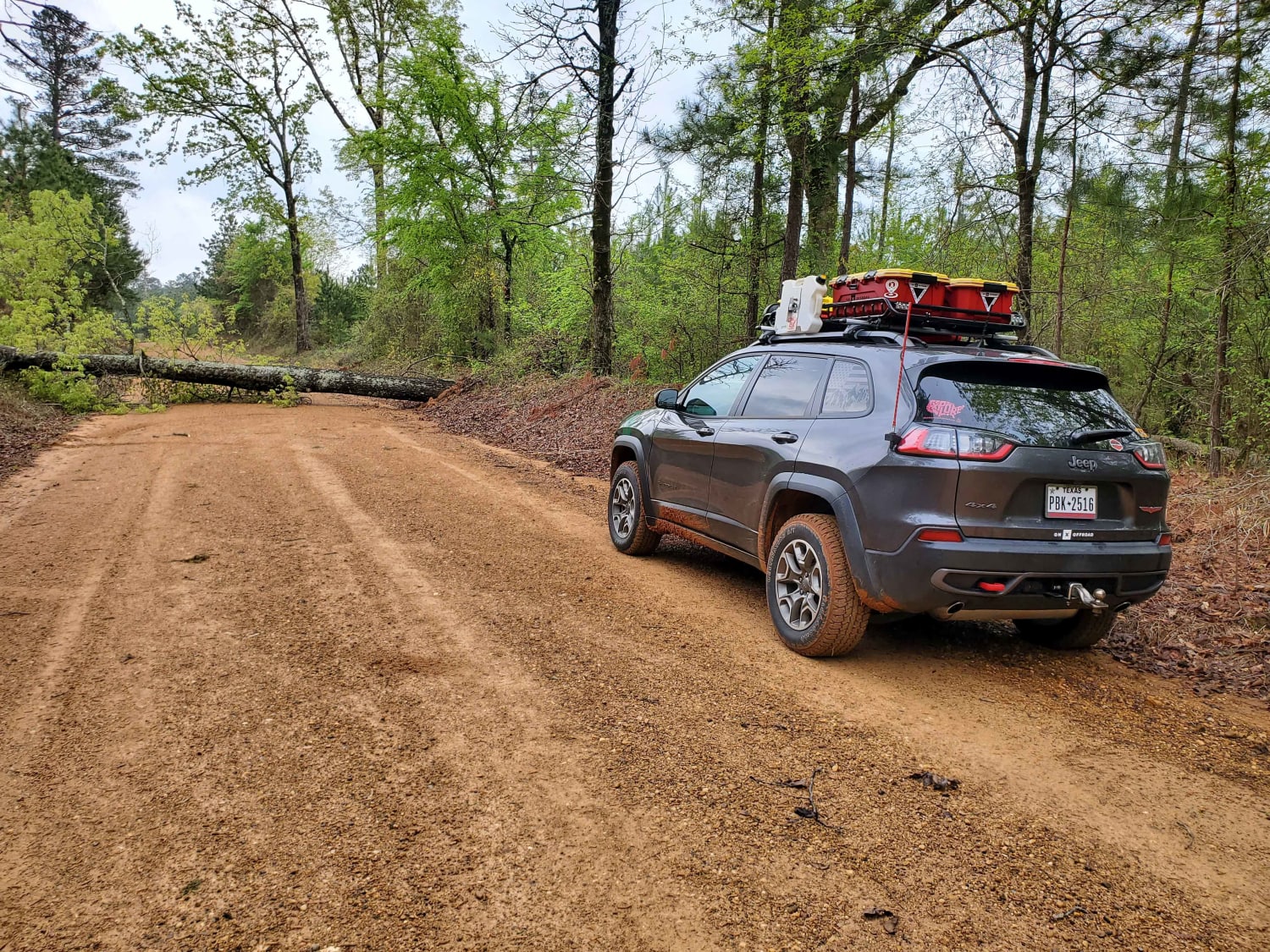
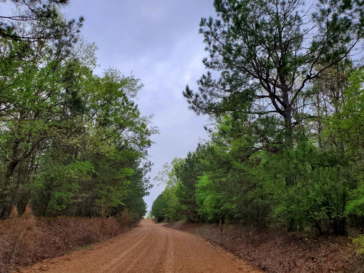
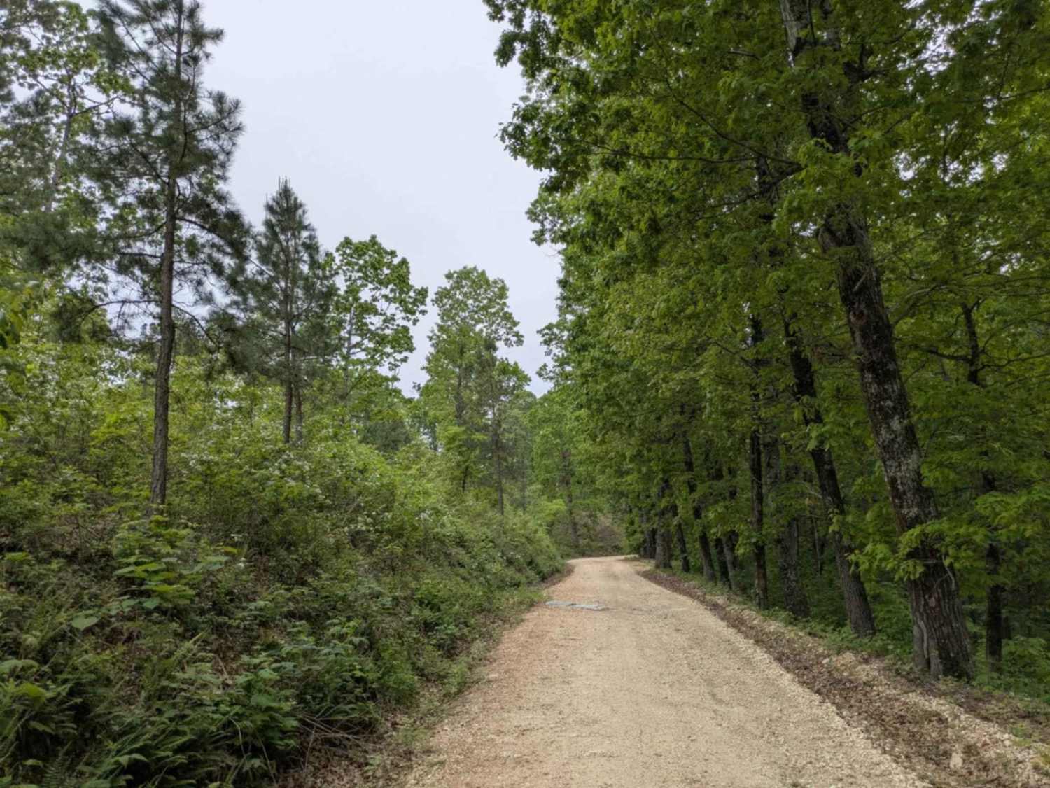
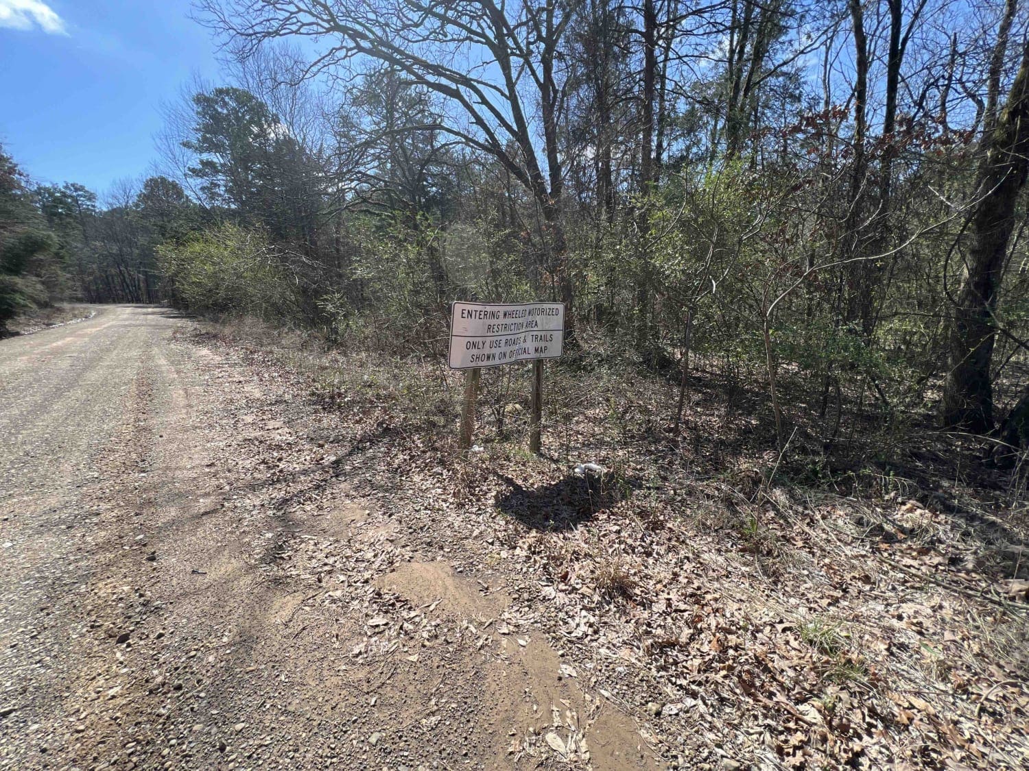
Trail Overview
This dirt and gravel road takes you to dispersed campsites within the Poison Springs WMA area. Camping permits are required and are free at Poison Springs WMA website. Roads can be slick, and water crossing can be found after rains. Watch for wildlife to cross roads. There are creeks in the area.
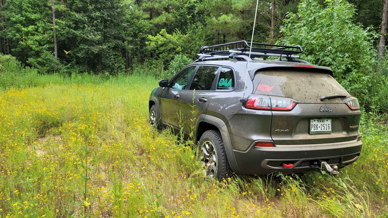
Photos of Poison Springs WMA - Campsite C-10 to C-29 and C-54
Difficulty
Some water crossing and sloppy roads after or during rains. Narrow in some places.
Status Reports
Poison Springs WMA - Campsite C-10 to C-29 and C-54 can be accessed by the following ride types:
- High-Clearance 4x4
- SUV
- Dirt Bike
Poison Springs WMA - Campsite C-10 to C-29 and C-54 Map
Popular Trails

Boose Hollow 649
Dr. Lester Sitzes III Bois D'Arc WMA
The onX Offroad Difference
onX Offroad combines trail photos, descriptions, difficulty ratings, width restrictions, seasonality, and more in a user-friendly interface. Available on all devices, with offline access and full compatibility with CarPlay and Android Auto. Discover what you’re missing today!