Ouachita Pinnacle 1952 FT
Total Miles
8.5
Technical Rating
Best Time
Spring, Summer, Fall, Winter
Trail Type
Full-Width Road
Accessible By
Trail Overview
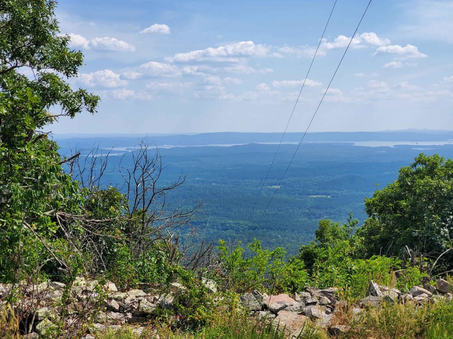
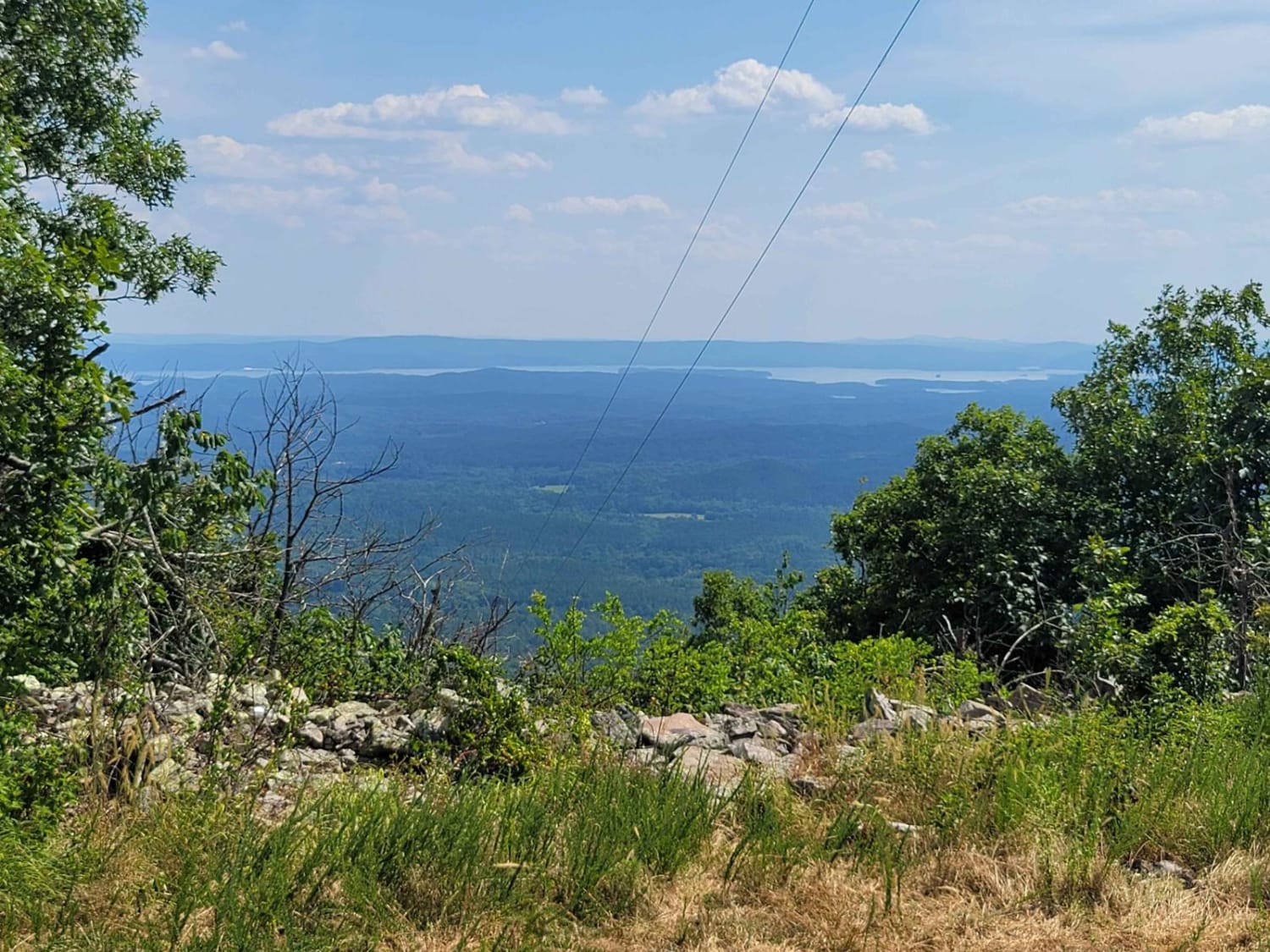
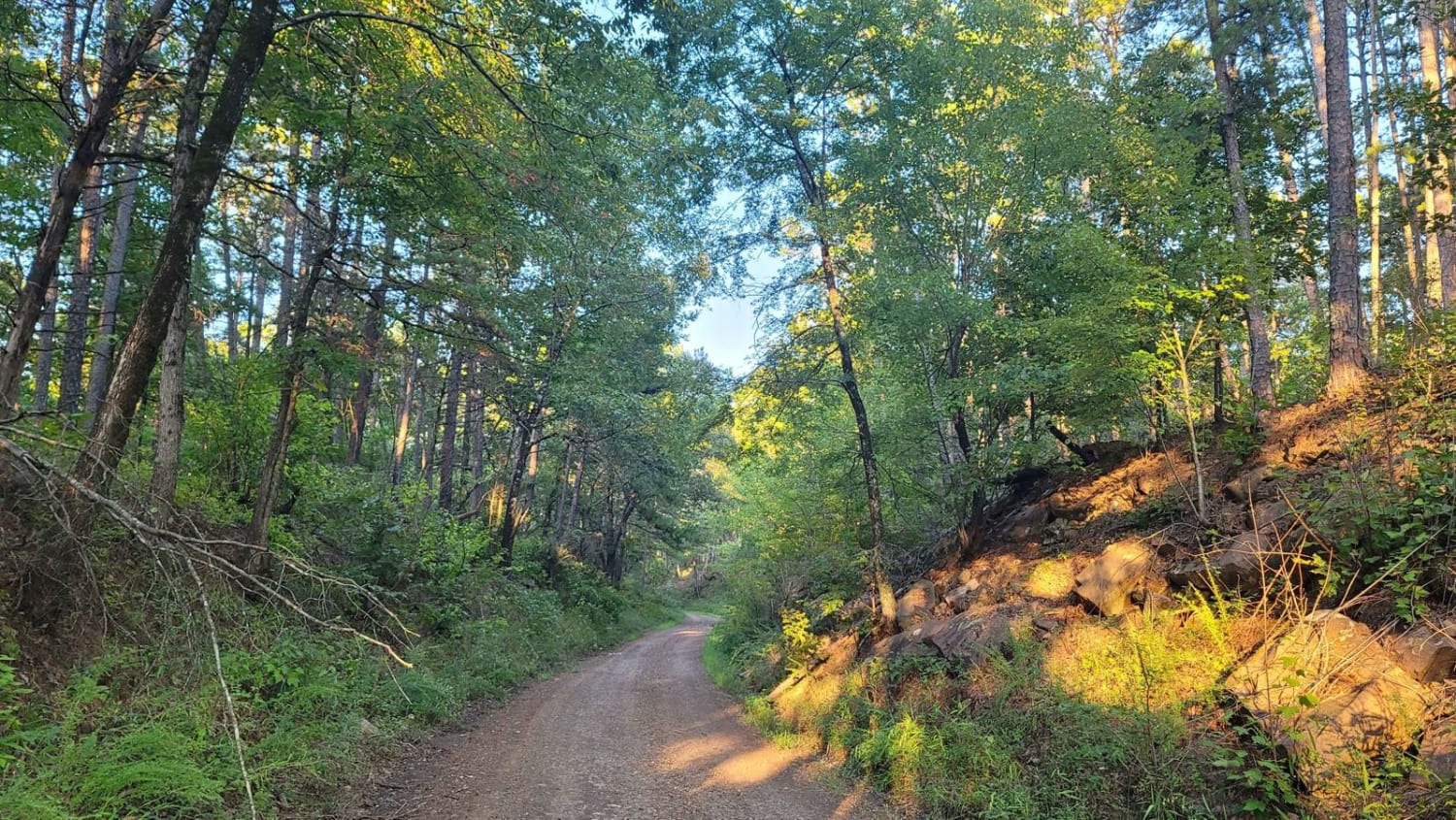
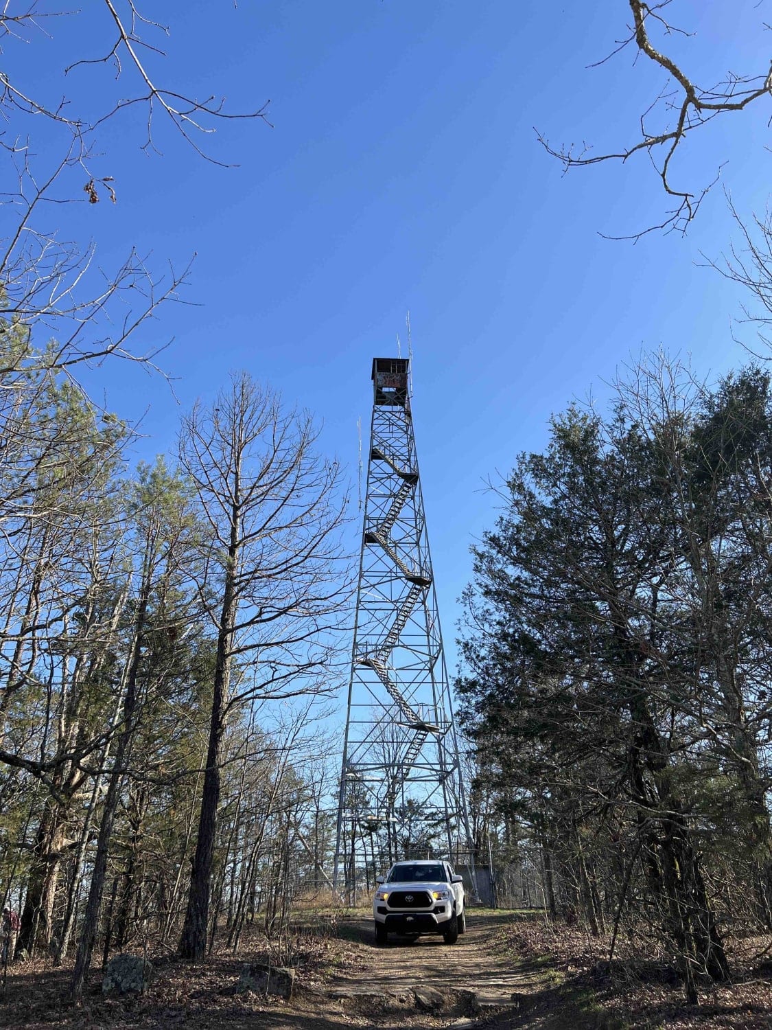
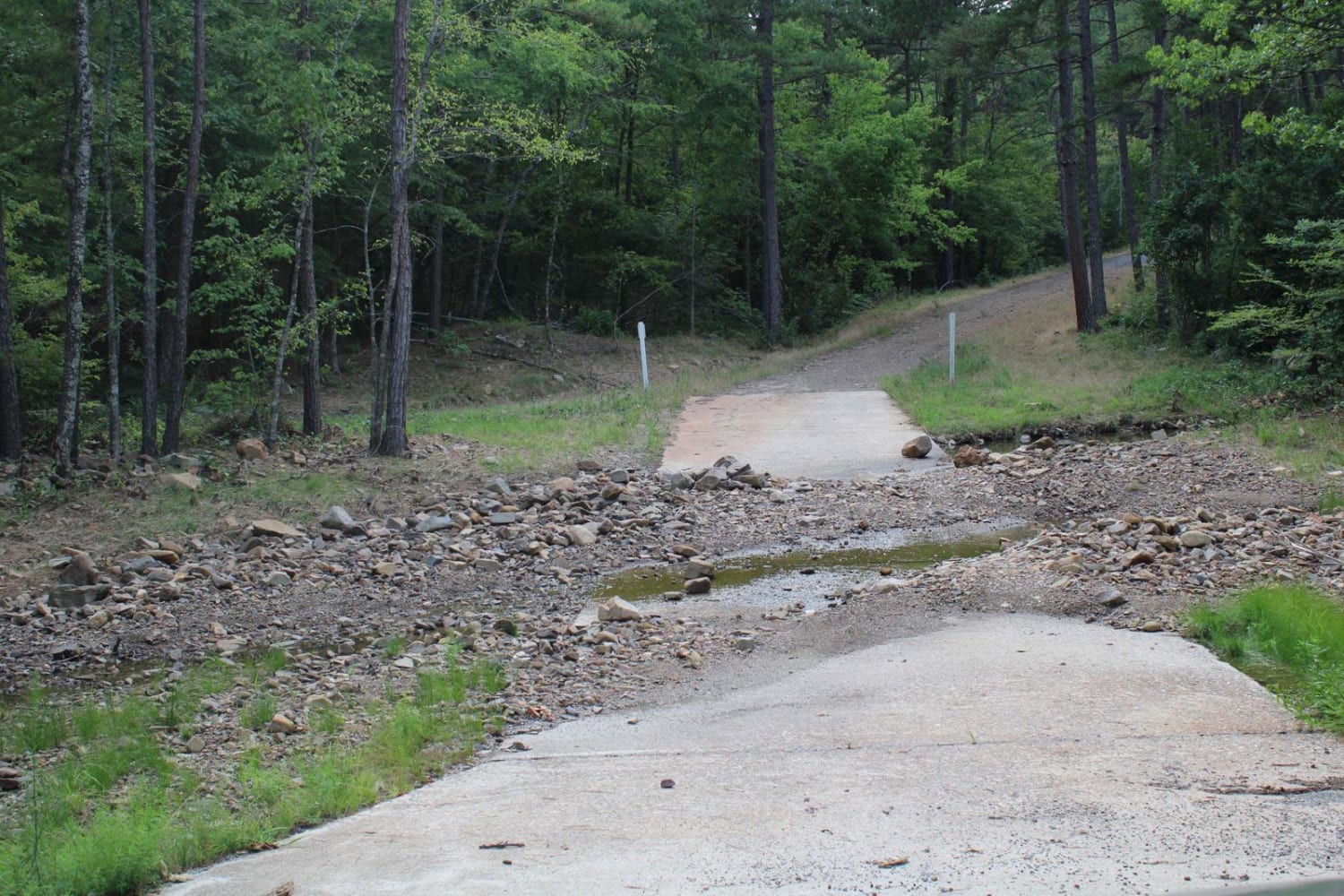
This trail picks up from Old North Fork Road and takes you to a 1952 ft elevation. This trail has a decent climb and the trail going up the mountain is rough in places. You will see a great view of Lake Ouachita from the top. There are some cell towers on top of the mountain but no lookout tower. The roads are gravel, and some water crossings could be present if creeks are flowing.
Photos of Ouachita Pinnacle 1952 FT
Difficulty
There can be water crossing, steep climb in elevation and slippery if wet. Some ground clearance is nice.
Status Reports
Ouachita Pinnacle 1952 FT can be accessed by the following ride types:
- High-Clearance 4x4
- SUV
Ouachita Pinnacle 1952 FT Map
Popular Trails
Seasonal Camp

F51 Bubba's Stump
Road 58/FSR 1004
Muse Creek and Irons Fork
The onX Offroad Difference
onX Offroad combines trail photos, descriptions, difficulty ratings, width restrictions, seasonality, and more in a user-friendly interface. Available on all devices, with offline access and full compatibility with CarPlay and Android Auto. Discover what you’re missing today!