Brock 48
Total Miles
1.6
Technical Rating
Best Time
Spring, Fall, Winter, Summer
Trail Type
50" Trail
Accessible By
Trail Overview
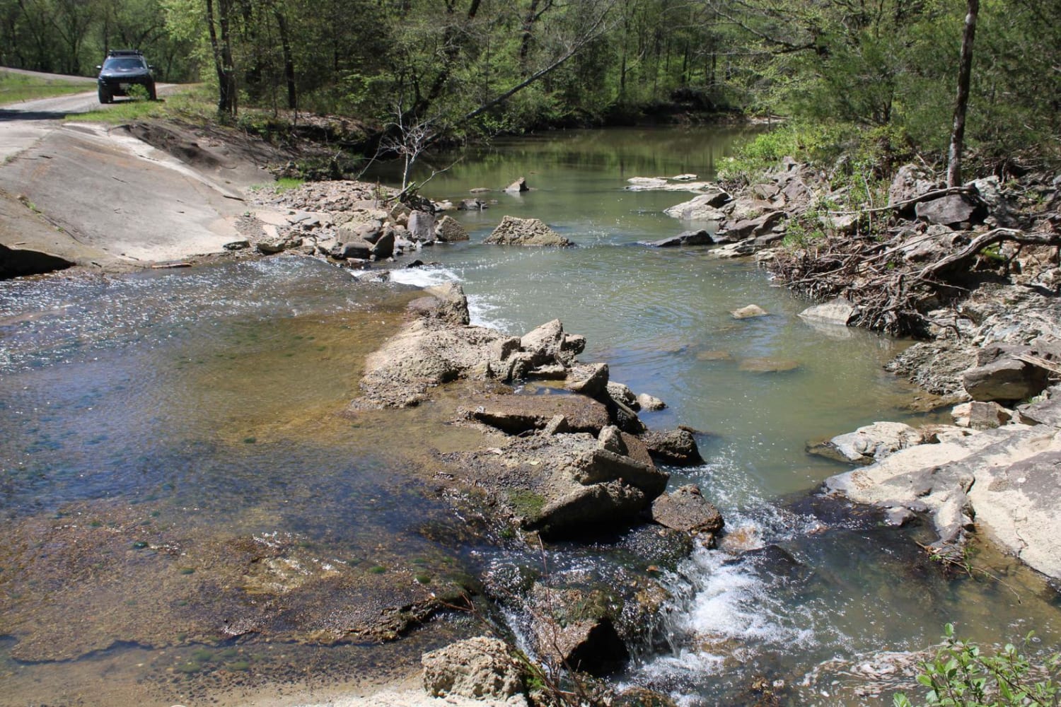
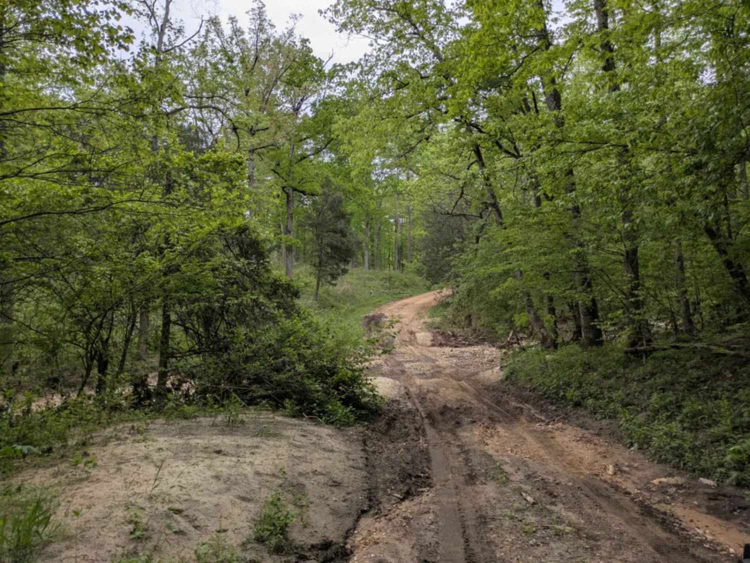
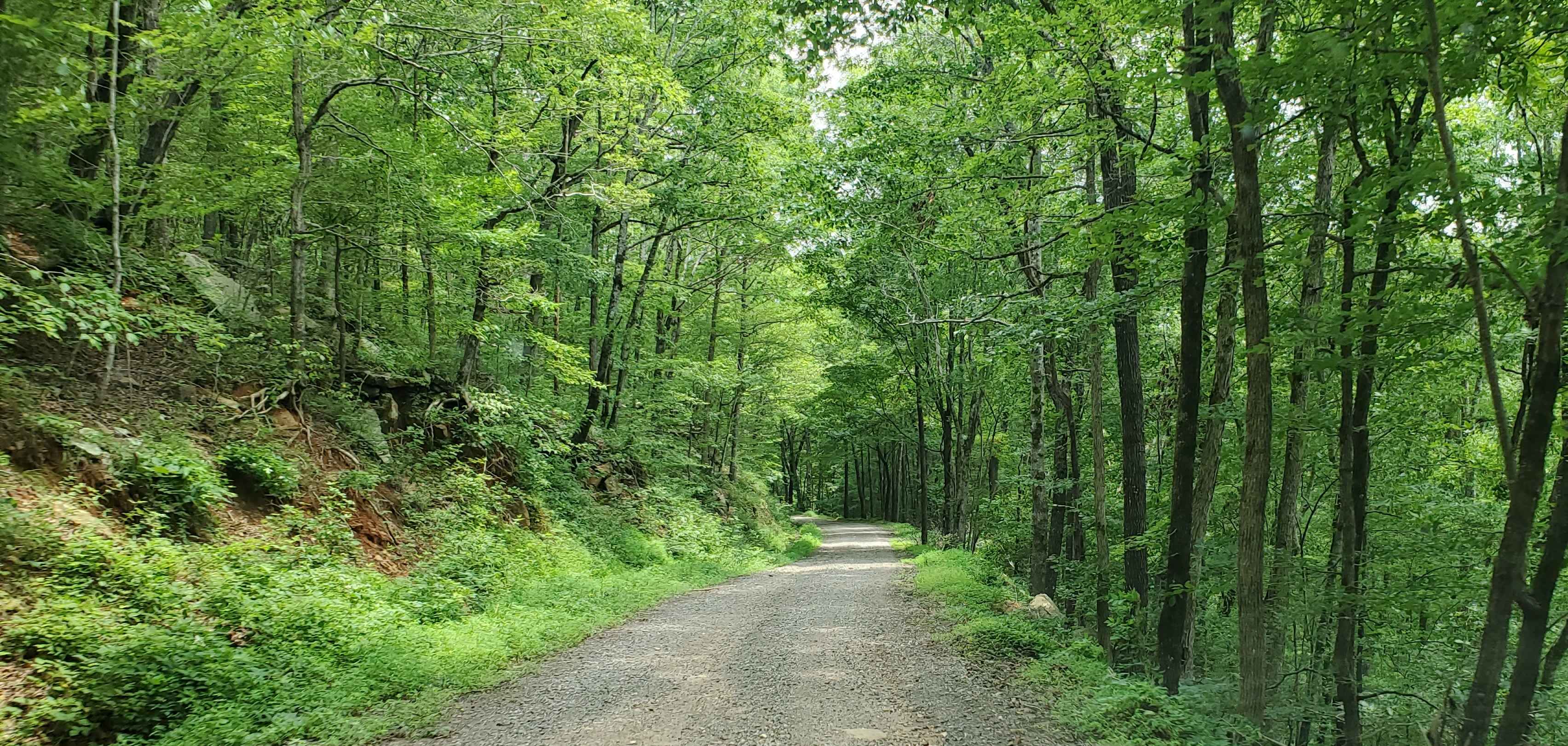
This trail descends gradually from north to south through a distinctive mix of tall loblolly pines and dense oak-maple forest. The surface is uneven and rutted in places, especially following spring storms, with occasional steep sections and downed logs across the path. The trail typically serves as one of the first accessible routes from the Brock Creek staging area, connecting to Brock Creek Lake at the southern end--though high water can sometimes flood the final stretch near the lake after heavy rain.
Photos of Brock 48


Difficulty
This is an easy ATV trail with minimal technical spots and no major obstacles, making it ideal for riders of any skill level.
Status Reports
Brock 48 can be accessed by the following ride types:
- ATV (50")
- Dirt Bike
Brock 48 Map
Popular Trails
Spectacular View In Howard County WMA
Sandy Flats

96076D & 96021D
Prison Fence Trail
The onX Offroad Difference
onX Offroad combines trail photos, descriptions, difficulty ratings, width restrictions, seasonality, and more in a user-friendly interface. Available on all devices, with offline access and full compatibility with CarPlay and Android Auto. Discover what you’re missing today!