NFS 93053A Bear Hollow
Total Miles
1.9
Technical Rating
Best Time
Spring, Fall, Winter
Trail Type
High-Clearance 4x4 Trail
Accessible By
Trail Overview
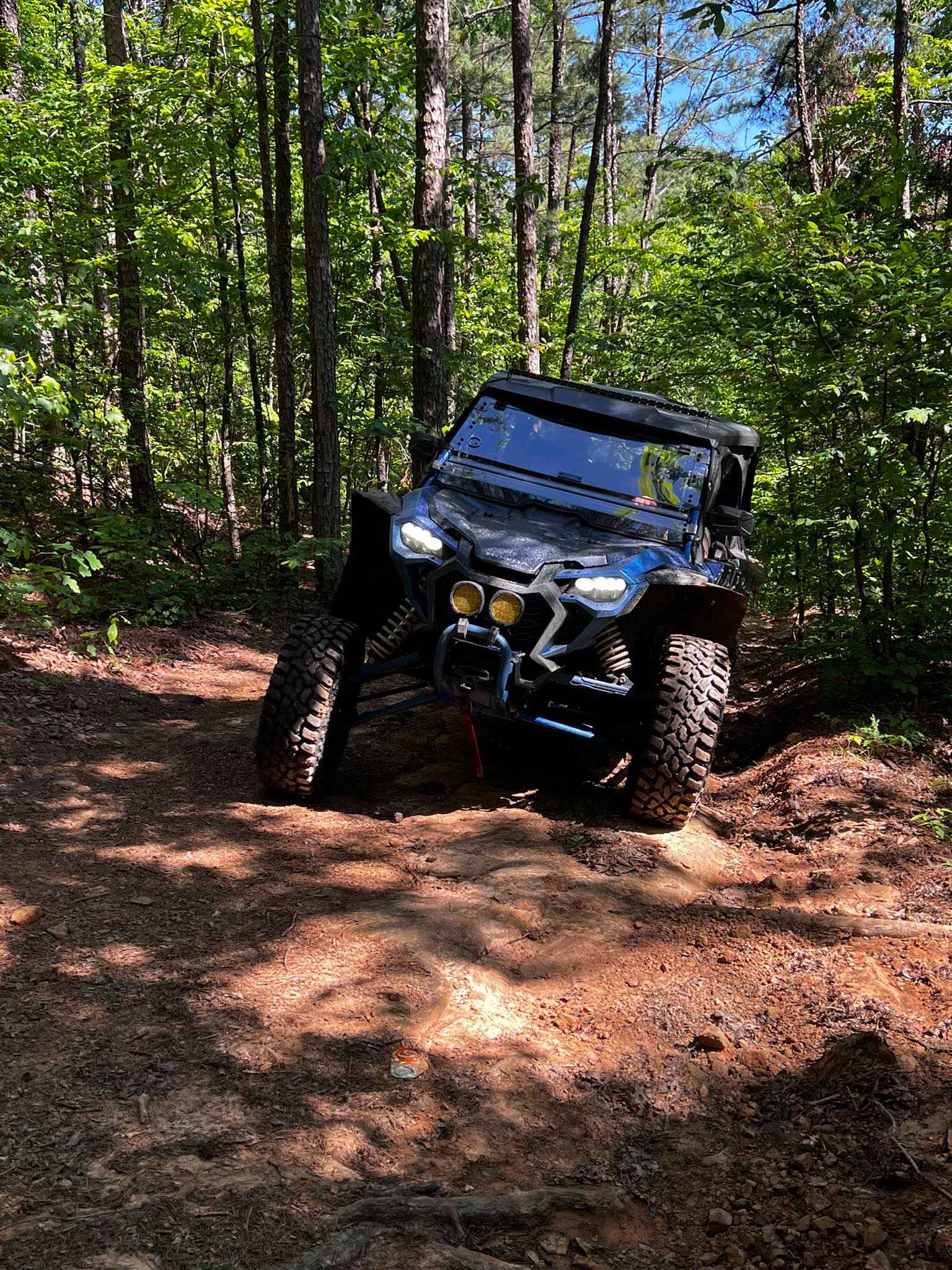
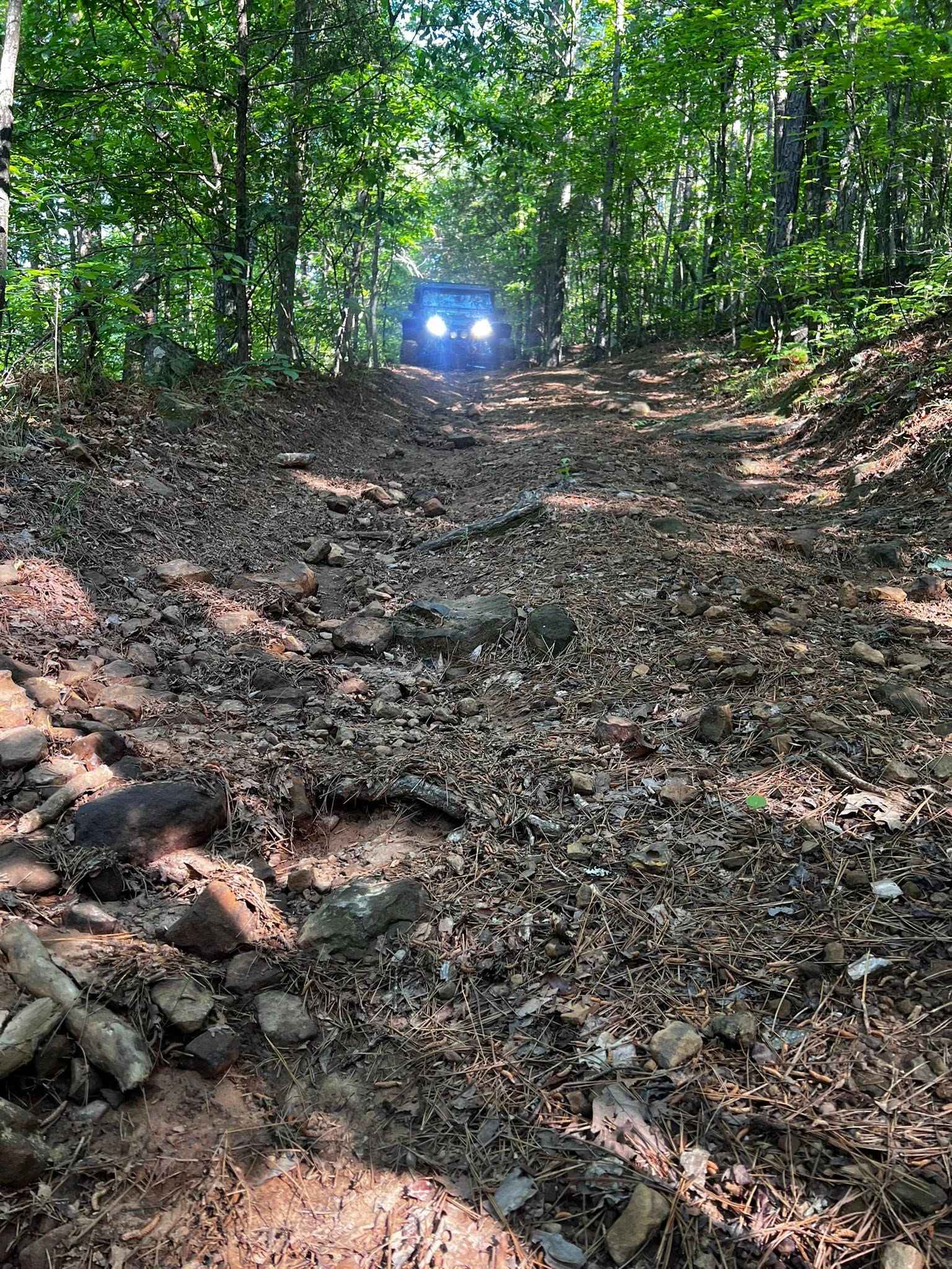
NFS 93053A begins at the intersection of 1322 and 93052F. After crossing Mill Creek, the trail is flat for about 1/8th of a mile before it starts to climb to Adam Mountain Road. The steepest part of the climb is in the first 1/4 mile. With loose rocks, ledges, and a steep drop on the west side of the trail, there is no room to pass on this narrow trail. The climb shallows up over the next 1/2 mile with fewer rocks and deep washes. The trail runs flat before arriving at Adams Mountain Road. There is a dispersed campsite about a 1/4 mile from Adams Mountain Road that has a rock fire ring, with enough room for 3 or 4 rigs.
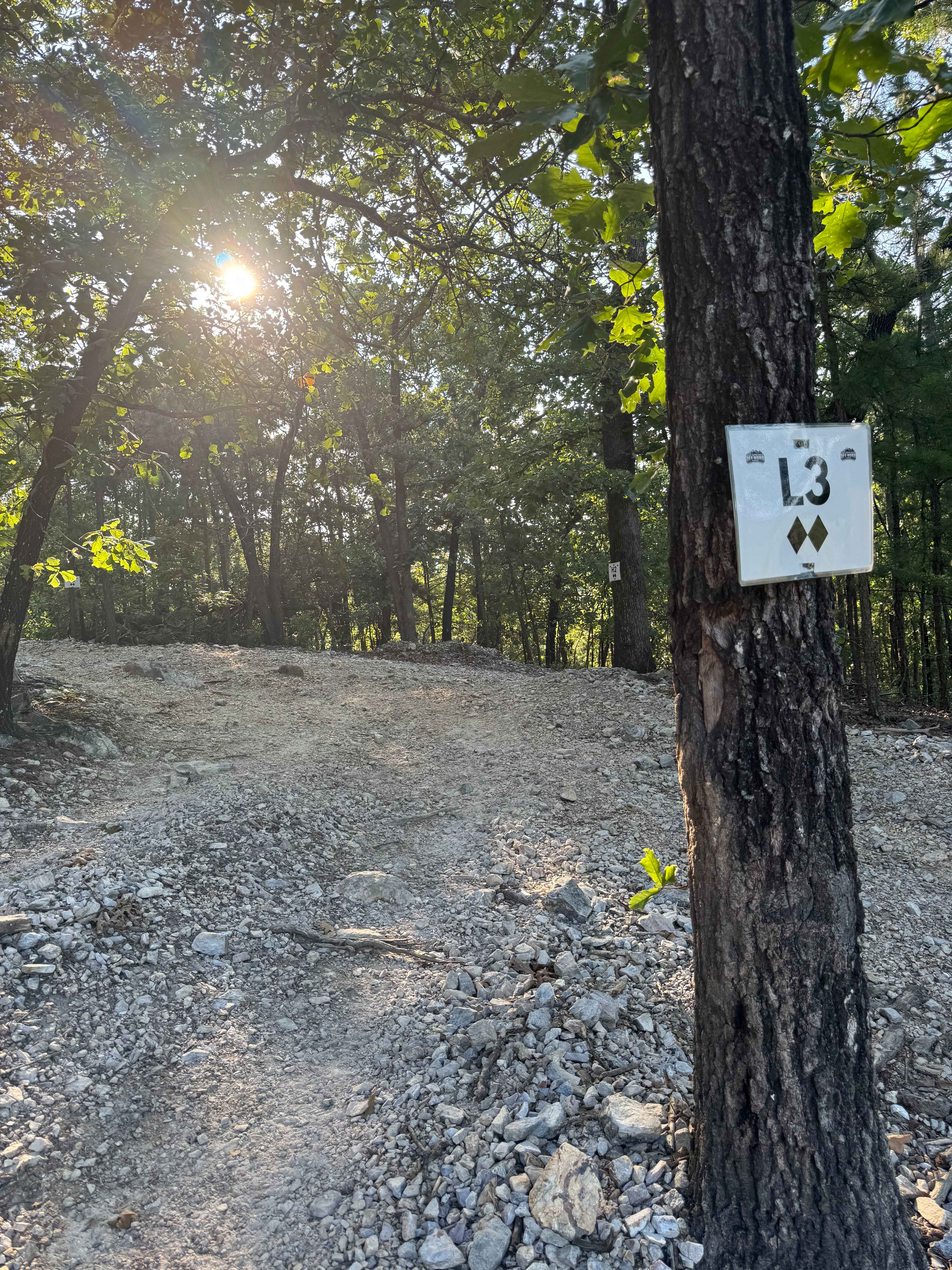
Photos of NFS 93053A Bear Hollow
Difficulty
Narrow trail with enough room to pass only on the north 1/2 mile. Large loose rocks, off-camber, and ledges.
NFS 93053A Bear Hollow can be accessed by the following ride types:
- High-Clearance 4x4
- SxS (60")
- ATV (50")
- Dirt Bike
NFS 93053A Bear Hollow Map
Popular Trails
North Fork Road 86
Poteau Mountain And Rail Tracks
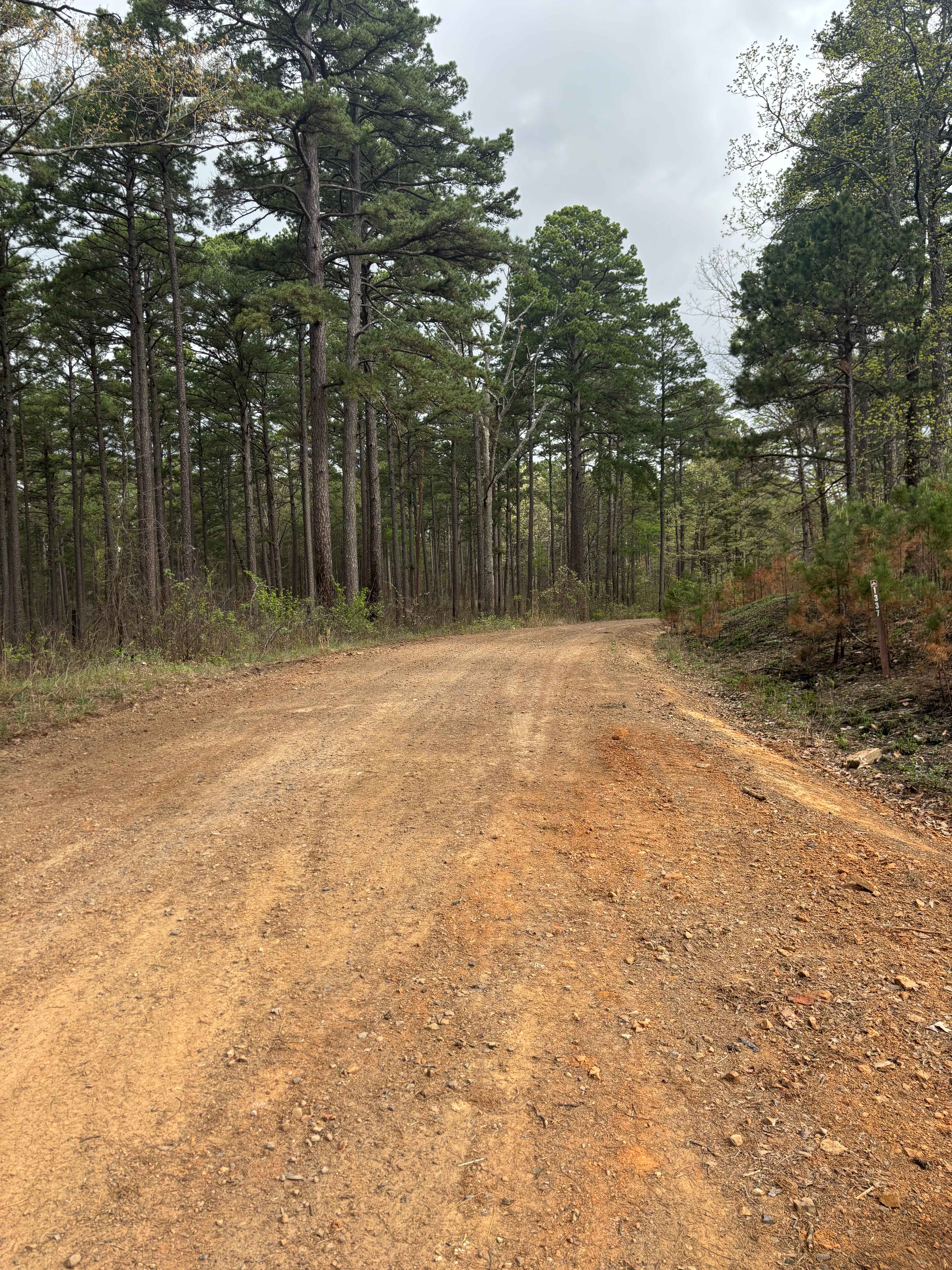
Tackett Mountain 1337
The onX Offroad Difference
onX Offroad combines trail photos, descriptions, difficulty ratings, width restrictions, seasonality, and more in a user-friendly interface. Available on all devices, with offline access and full compatibility with CarPlay and Android Auto. Discover what you’re missing today!