H16
Total Miles
0.1
Technical Rating
Best Time
Spring, Summer, Fall, Winter
Trail Type
Full-Width Road
Accessible By
Trail Overview
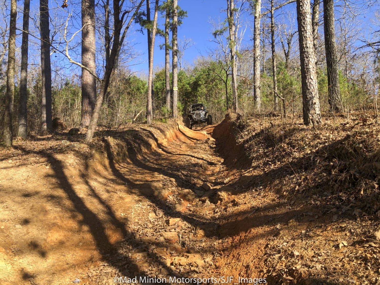
H16 can be accessed from a number of trails. At the bottom of the trail, you will find H14, and at the top of H16, you will find H31, H18, and L3. H16 is a very steep trail with loose and sharp rock. This trail is also very washed out with ruts and walls taller than the vehicle. A Park Day-Use Trail Pass is required to access this system of trails. Cell service is spotty in places, and trail conditions can change quickly, especially during rainy or winter seasons.
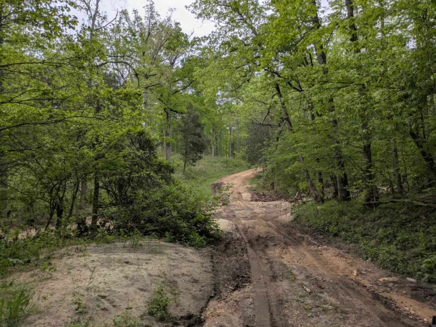
Photos of H16


Difficulty
H16 is a very steep trail with loose and sharp rock. This trail is also very washed out with ruts and walls taller than the vehicle. This trail will get worse over time.
Status Reports
H16 can be accessed by the following ride types:
- High-Clearance 4x4
- SUV
- SxS (60")
- ATV (50")
- Dirt Bike
H16 Map
Popular Trails
Mountain Creek Trail

E12 Prothane Point

Oden Rifle Range - 748
Sandy Flats
The onX Offroad Difference
onX Offroad combines trail photos, descriptions, difficulty ratings, width restrictions, seasonality, and more in a user-friendly interface. Available on all devices, with offline access and full compatibility with CarPlay and Android Auto. Discover what you’re missing today!