X Marks the Spot from Linda Mine
Total Miles
1.9
Technical Rating
Best Time
Spring, Fall
Trail Type
High-Clearance 4x4 Trail
Accessible By
Trail Overview
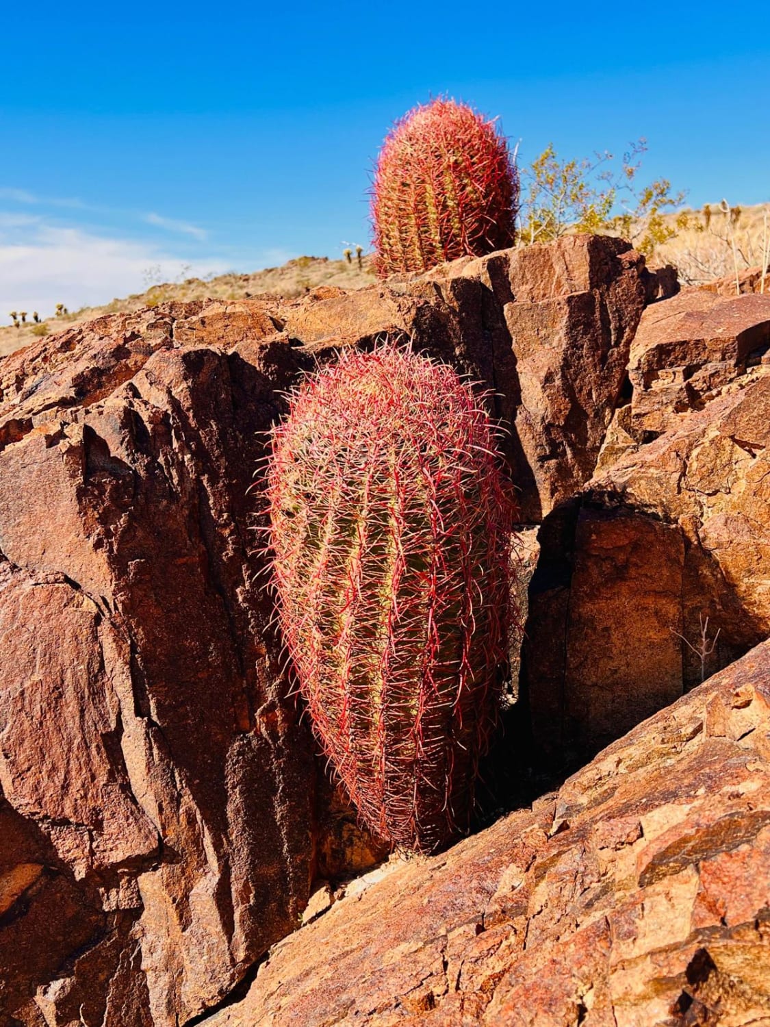
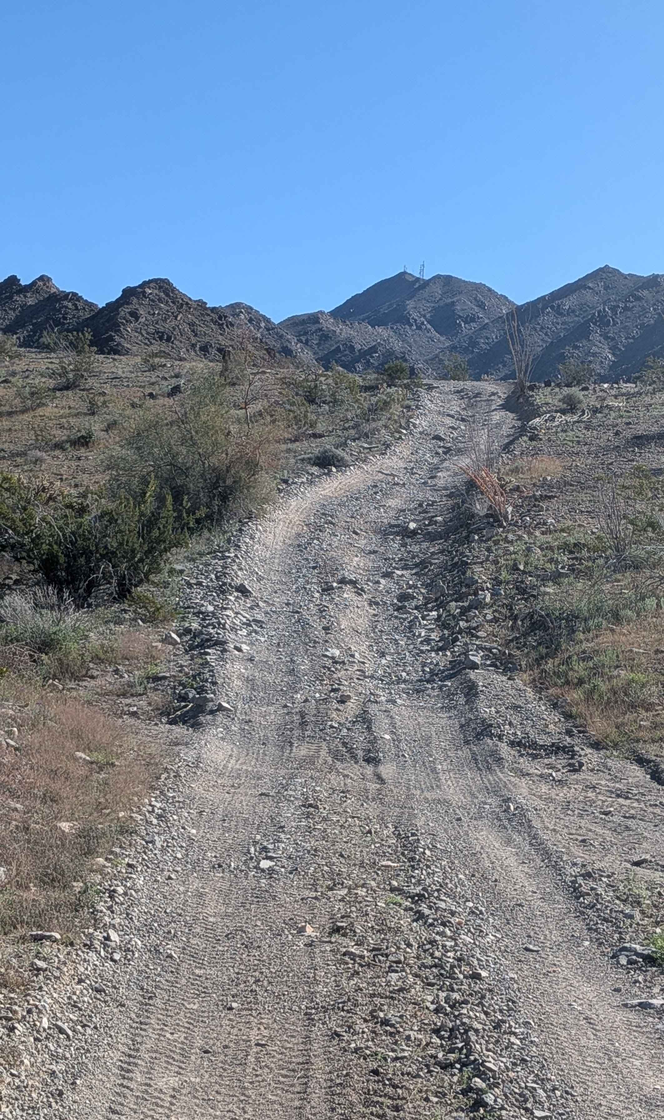
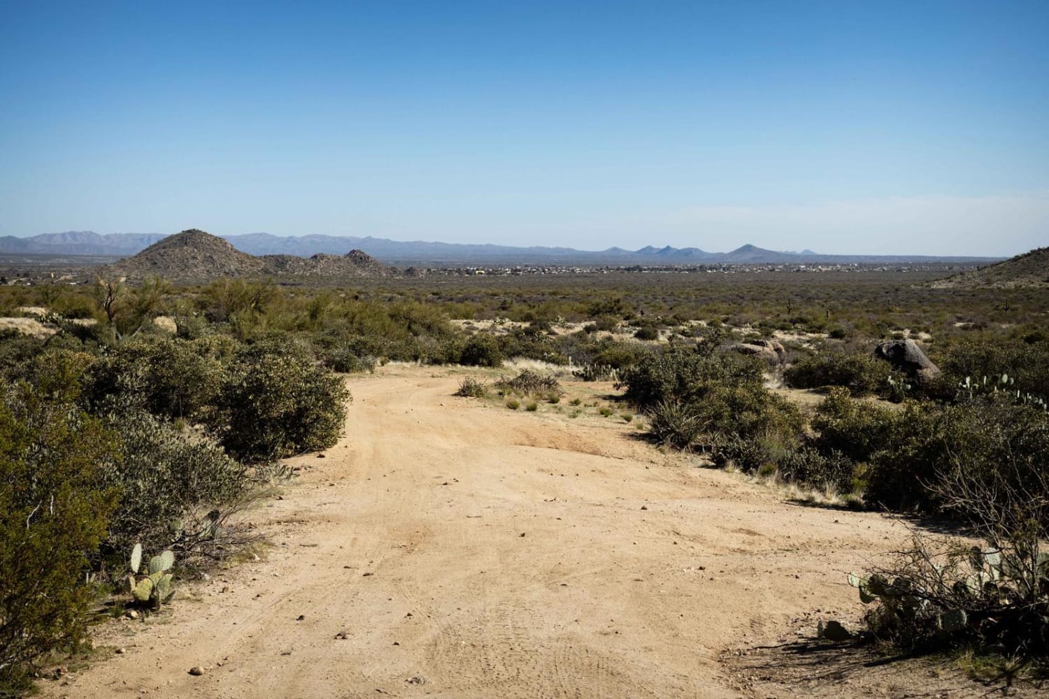
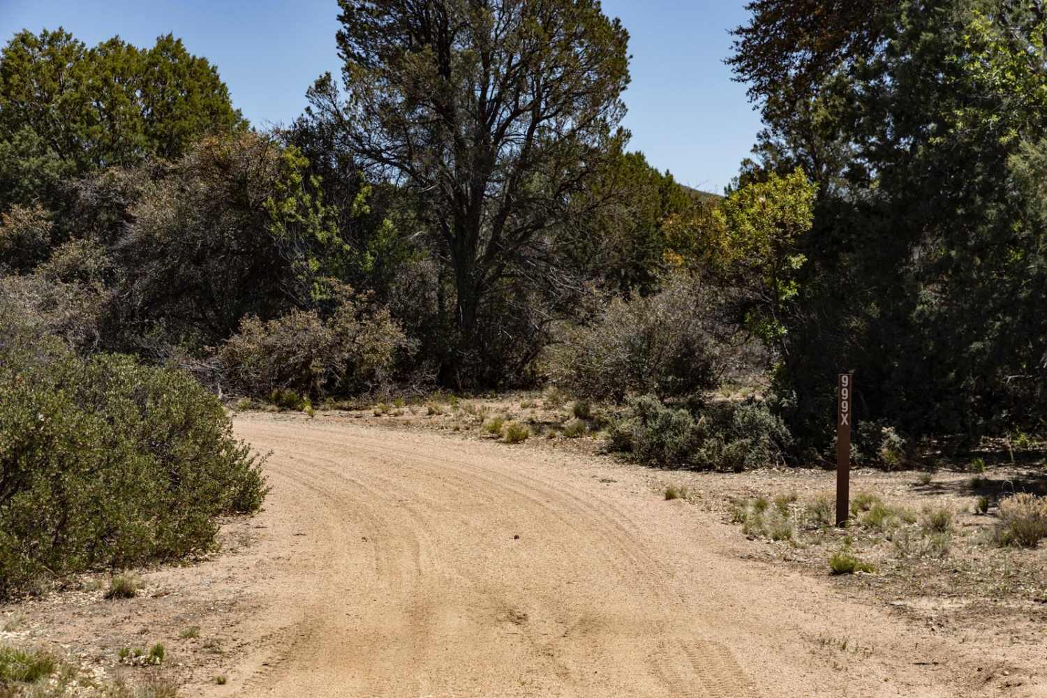
This out-and-back trail connects the Linda Mine and Memorial to a neat dispersed campsite with a view over Bullhead City. The trail is technical and close to the mine. It has a couple of steep hill climbs and descents with loose rocks. There is one descent into a narrow canyon. This trail is best for smaller 4x4 vehicles and SXSs. The middle section of the trail opens up into a wider section of the canyon, which is a sandy wash. The trail turns out of the wash and heads back up the hills toward the mountains. This last section of the trail is quite fun. It runs along the hilltops with some hill climbs. Eventually, the trail ends atop one of the hills, looking towards the city. Look for the X when you get up there. Further out on the hilltop is an excellent rock fire ring marking a dispersed campsite. This area is heavy with cholla cactus, AKA jumping cactus. Enjoy a quiet overnight or head up here for a beautiful sunset. There is 5G cell service at the campsite. Pack in and pack out all trash. This area can also get extremely hot in the summer months, and these trails have no shade. Bring extra water and supplies if traveling during the summer.
Photos of X Marks the Spot from Linda Mine
Difficulty
Expect loose, steep hill climbs heading from the mine and memorial. It's a narrow tight canyon into loose sandy washes.
Status Reports
X Marks the Spot from Linda Mine can be accessed by the following ride types:
- High-Clearance 4x4
- SxS (60")
- ATV (50")
- Dirt Bike
X Marks the Spot from Linda Mine Map
Popular Trails

Ambassador Mine
The onX Offroad Difference
onX Offroad combines trail photos, descriptions, difficulty ratings, width restrictions, seasonality, and more in a user-friendly interface. Available on all devices, with offline access and full compatibility with CarPlay and Android Auto. Discover what you’re missing today!

