Rock Canyon Reservoir
Total Miles
3.8
Technical Rating
Best Time
Spring, Summer, Fall, Winter
Trail Type
Full-Width Road
Accessible By
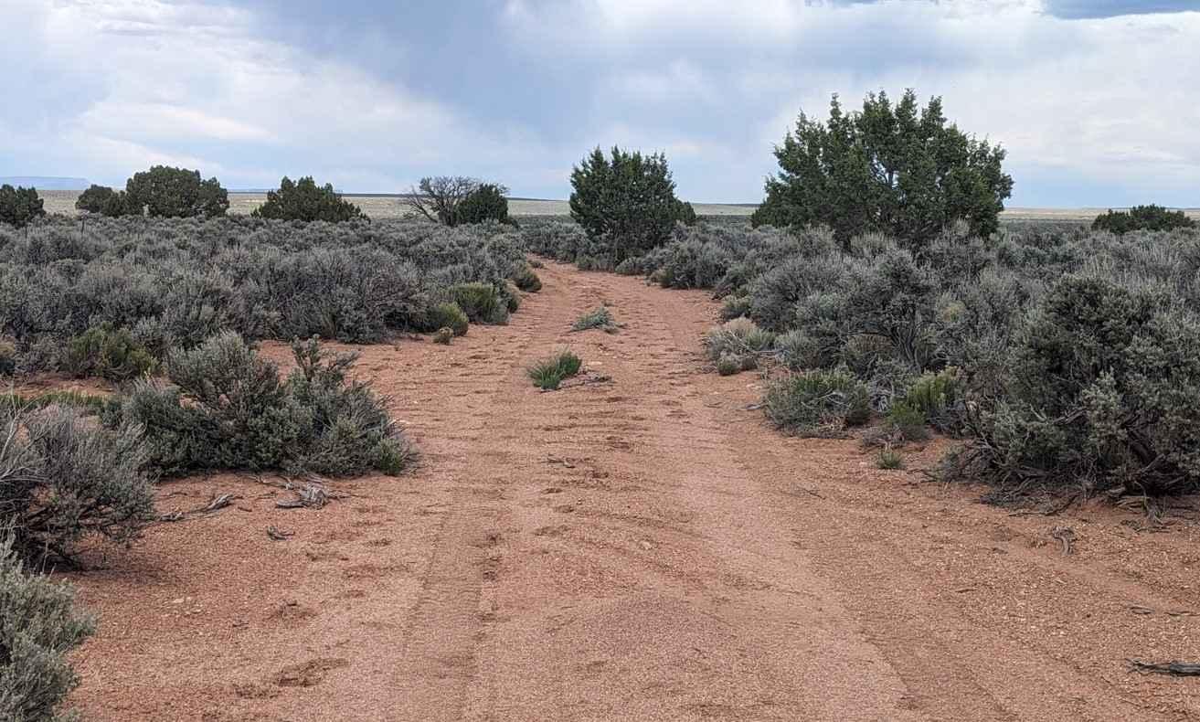
Trail Overview
Rock Canyon Reservoir is a 3.8-mile point-to-point trail rated 3 of 10 located in Arizona's Coconino County. This hard-packed dirt and rock trail cuts across the Gunsight Plateau connecting two of the major overlook trails: Swapp Tank Trail and Clear Water Spring Trail. The trail is fairly easy to navigate although there are several east-west drainages that must be crossed. Depending upon previous and current weather these drainages may be dry sand or washed-out rocky crossings. Any high clearance 2 or 4WD vehicle should not have any issues crossing any of these drainages. Distant views from this trail include the Kanab Cliffs and the peaks of Zion to the north. Always keep an eye out for cattle as this is leased BLM grazing land. A grazing reservoir and coral are located near the north end of the trail. Gunsight Plateau is quietly tucked away in the Arizona Strip between Fredonia and Lee's Ferry. Gunsight Plateau is a relatively flat terrain covered in Pinyon Pine and juniper as well as a considerable amount of Mormon Tea. Late spring is when the plateau is covered with blooming wildflowers. This area is accessible year-round and is not subject to the October to May closures of the Grand Canyon's north rim. The area does get very hot in the summer. This is a remote area where the likelihood of seeing other people is very low. There is no cell service away from Fredonia. Food and fuel can be found in Fredonia or a little further north in Kanab, Utah.
Photos of Rock Canyon Reservoir

Difficulty
Trail consisting of loose rocks, dirt, and sand with some slick rock surfaces, mud holes possible, no steps higher than 12". 4WD may be required, aggressive tires are a plus.
Status Reports
Rock Canyon Reservoir can be accessed by the following ride types:
- High-Clearance 4x4
- SUV
- SxS (60")
- ATV (50")
- Dirt Bike
Rock Canyon Reservoir Map
Popular Trails

F-4 Phantom Crash Site Spur
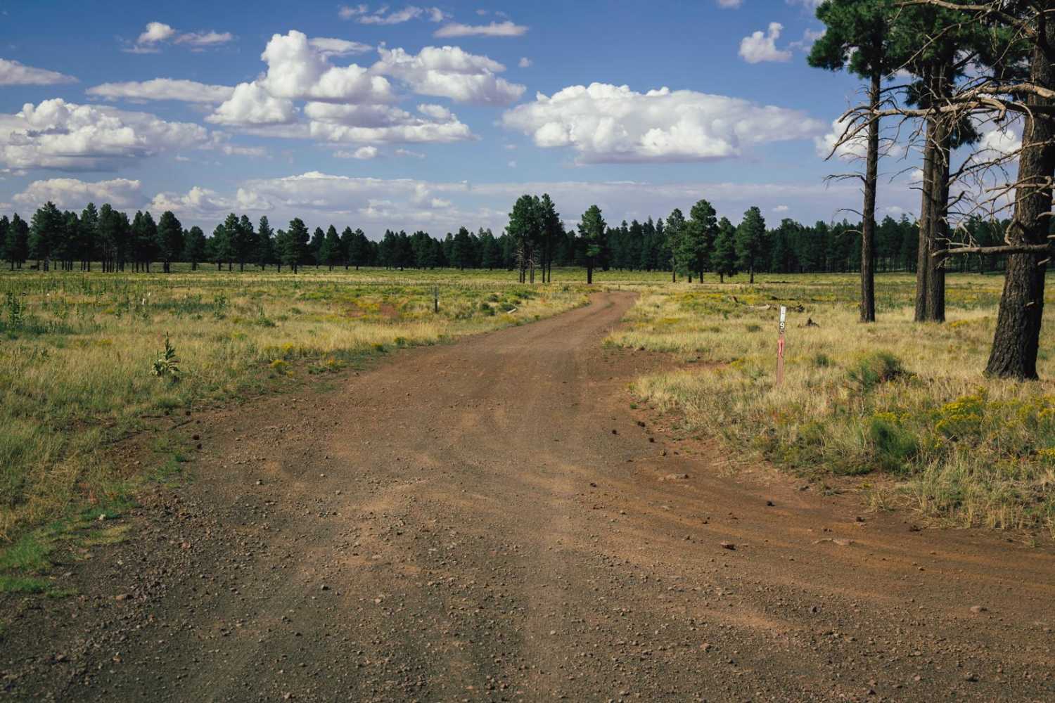
Rock Butte View Trail
Lovetta's Loop
The onX Offroad Difference
onX Offroad combines trail photos, descriptions, difficulty ratings, width restrictions, seasonality, and more in a user-friendly interface. Available on all devices, with offline access and full compatibility with CarPlay and Android Auto. Discover what you’re missing today!