Wickenburg Mountains
Total Miles
18.5
Technical Rating
Best Time
Summer
Trail Type
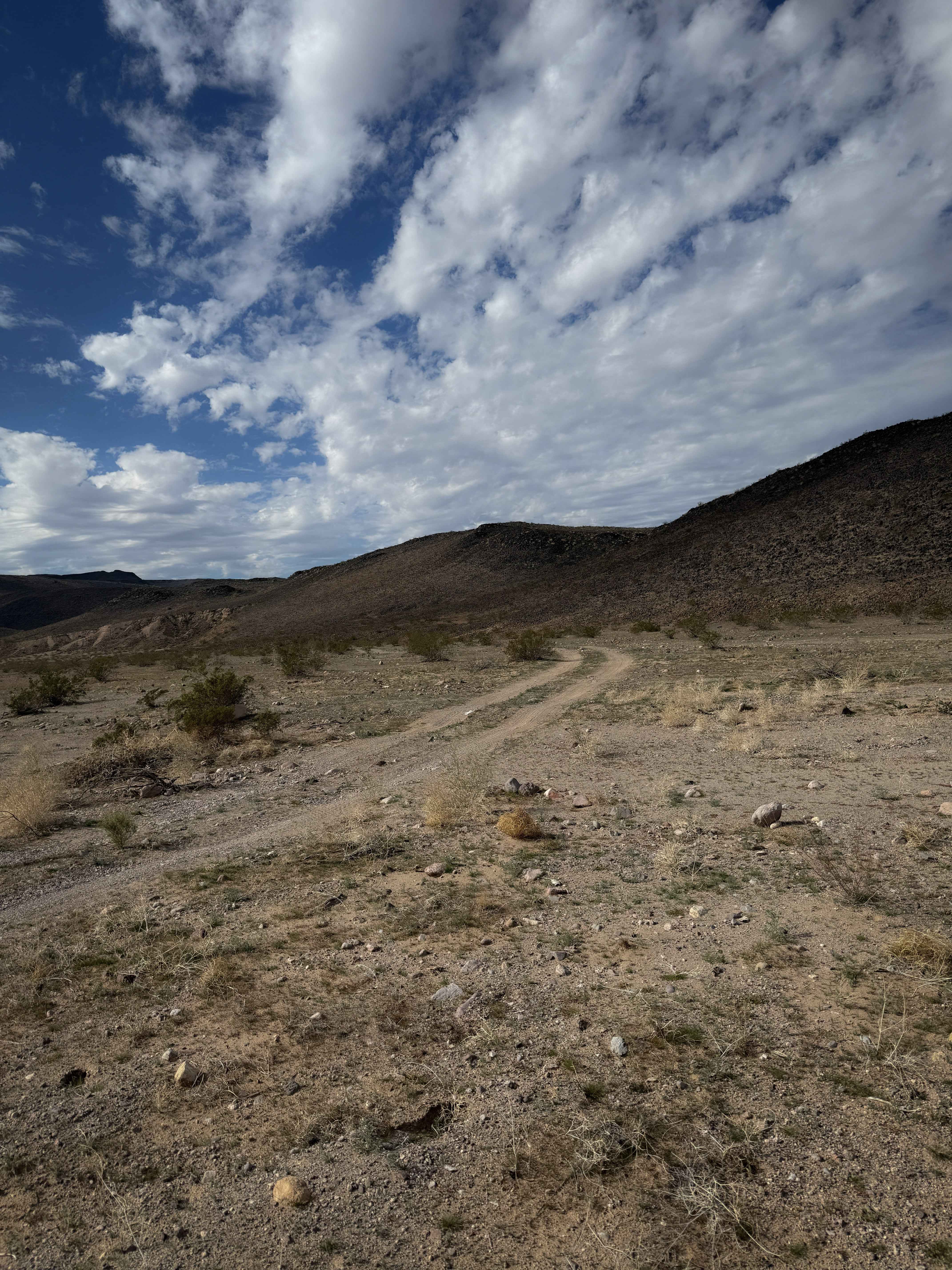
Full-Width Road
Accessible By
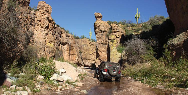
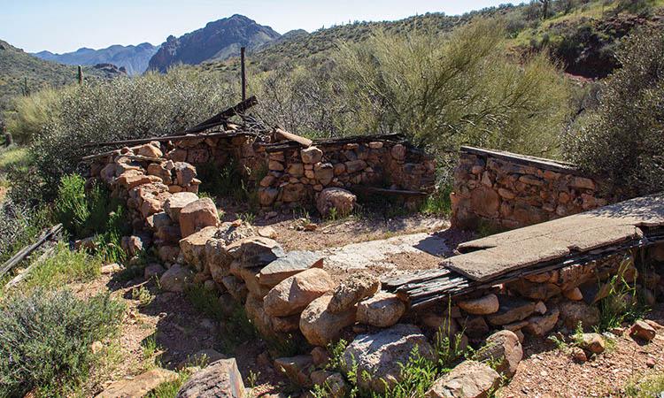
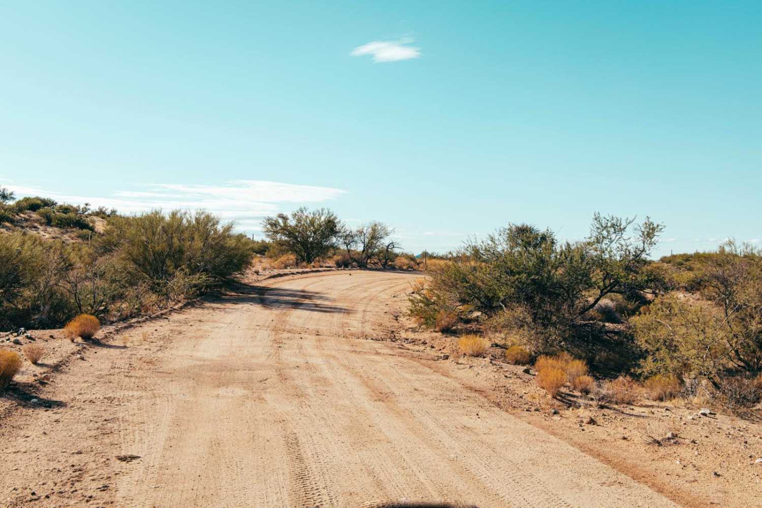
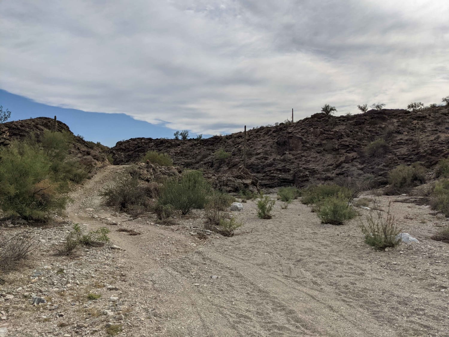
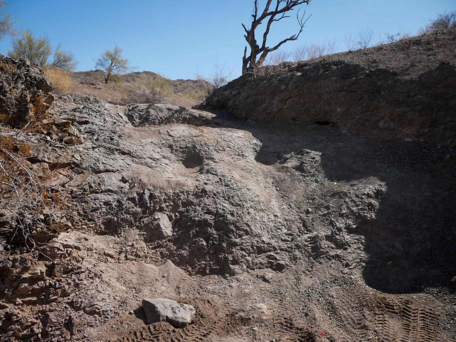
Trail Overview
If you are looking for a remote ride with great points of interest, this is it. Enjoy beautiful mountain views, visit Bradshaw's Grave and an old homestead at Copperopolis Townsite. You can return the way you came or take the new exit route. Explore the trail in reverse by starting from Lake Pleasant. Unlicensed vehicles allowed.
Photos of Wickenburg Mountains
Difficulty
Difficult: We previously rated this trail moderate, but conditions have gotten worse due to washouts in sandy canyon bottoms. New exit route was not difficult when we drove it, but this route is prone to damage from flash floods. Don't go if heavy rains are forecast. Aggressive SUVs with high clearance can do it unless new damage occurs.
History
Issac Bradshaw, namesake to the Bradshaw Mountains, died in 1886. His grave has been well maintained over the years and is easy to find, marked by a white picket fence. Little is known about Copperopolis, except that it had a post office in 1884 and lasted about a year. The mine can be seen across a ravine on a hillside east of the stone cabin.
Status Reports
Wickenburg Mountains can be accessed by the following ride types:
- High-Clearance 4x4
- SUV
- SxS (60")
- ATV (50")
- Dirt Bike
Wickenburg Mountains Map
Popular Trails
Angels Ranch Road
McGuffy Cabin Trail
The onX Offroad Difference
onX Offroad combines trail photos, descriptions, difficulty ratings, width restrictions, seasonality, and more in a user-friendly interface. Available on all devices, with offline access and full compatibility with CarPlay and Android Auto. Discover what you’re missing today!