Coyote Spring
Total Miles
3.2
Technical Rating
Best Time
Spring, Fall, Winter
Trail Type
Full-Width Road
Accessible By
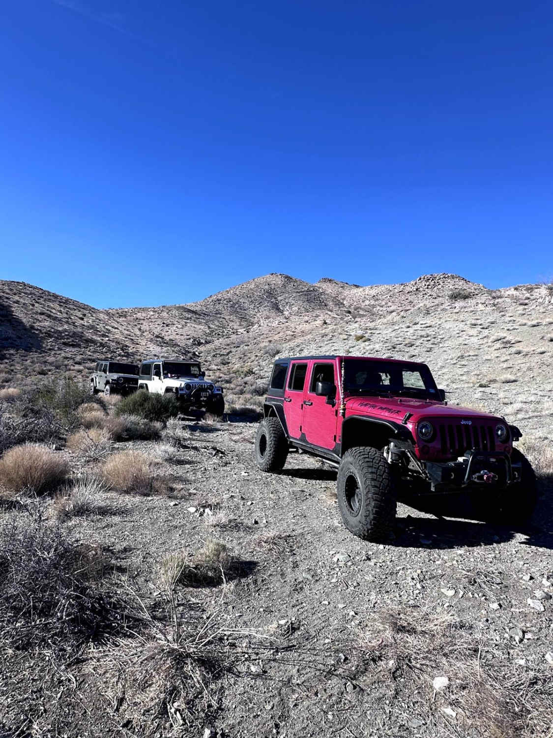
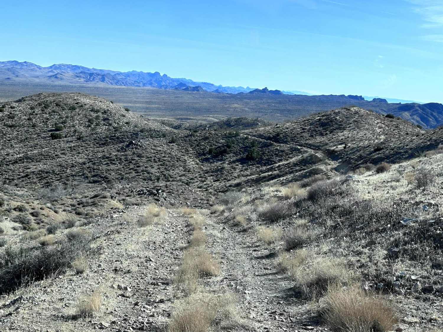
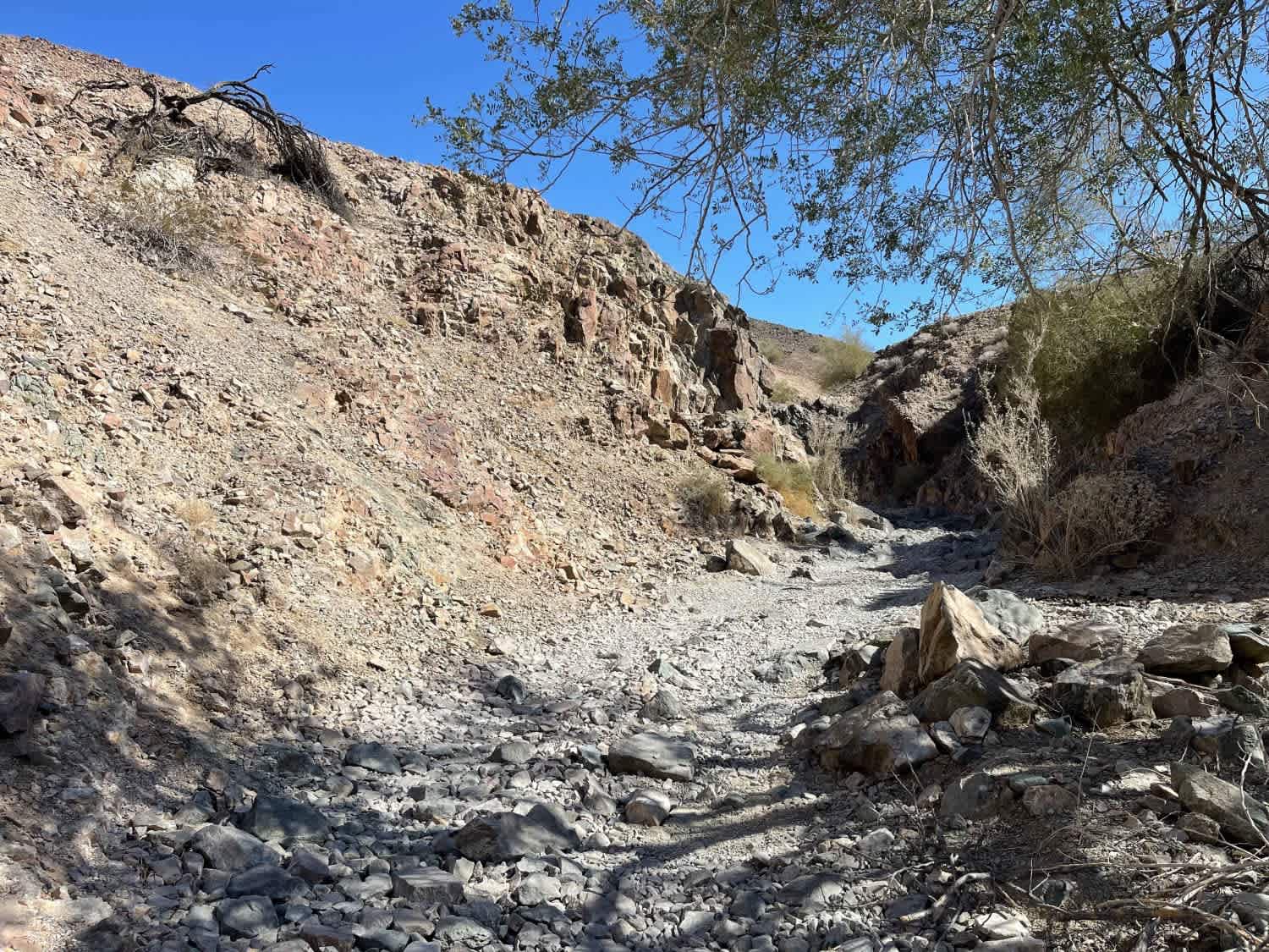
Trail Overview
This 6-mile out-and-back trail takes you up into the Black Mountains to Coyote Spring. The trail begins from B1642/1645 Trail and heads into the Black Mountain Range. The trail begins as a rough single-vehicle road with the last 1/2 mile being the more difficult portion, with washed-out portions of the trail up to 12" in depth, which you must straddle or travel off camber to negotiate. At the trail end take in the great view of the Cerbat Mountain range and the valley below. Camping is possible at the trail end.
Photos of Coyote Spring
Difficulty
Most of the trail is rated 2 with the last leg along a shelf road with erosion damage up to 12 inches in depth.
Status Reports
Coyote Spring can be accessed by the following ride types:
- High-Clearance 4x4
- SUV
- SxS (60")
- ATV (50")
- Dirt Bike
Coyote Spring Map
Popular Trails

Dead Horse Wash
Braddock Creek - FS 9
AZ Peace Trail Main Canal to Martinez Lake Southern Section

Congress Cross Cut
The onX Offroad Difference
onX Offroad combines trail photos, descriptions, difficulty ratings, width restrictions, seasonality, and more in a user-friendly interface. Available on all devices, with offline access and full compatibility with CarPlay and Android Auto. Discover what you’re missing today!