Tres Burros
Total Miles
2.4
Technical Rating
Best Time
Spring, Summer, Fall
Trail Type
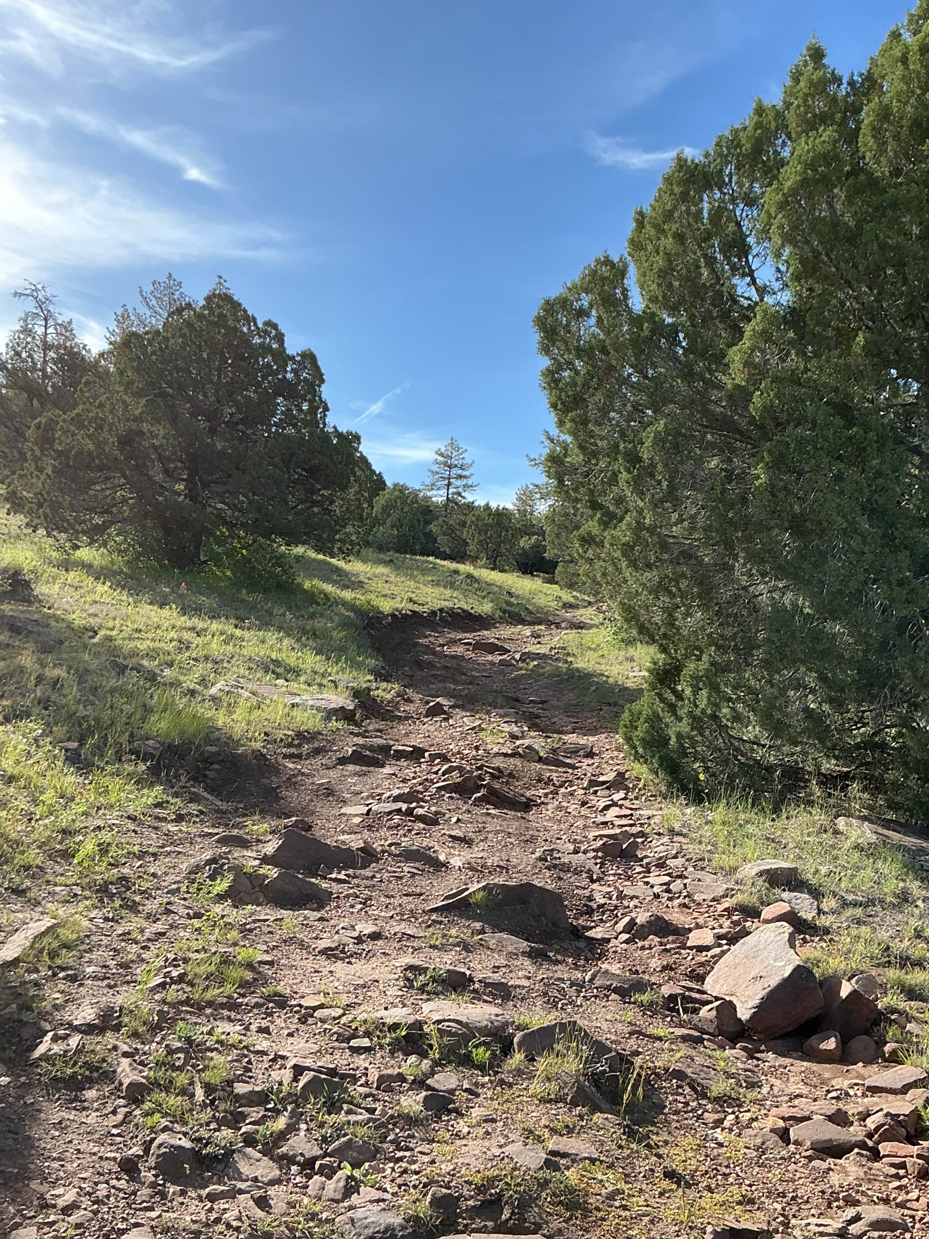
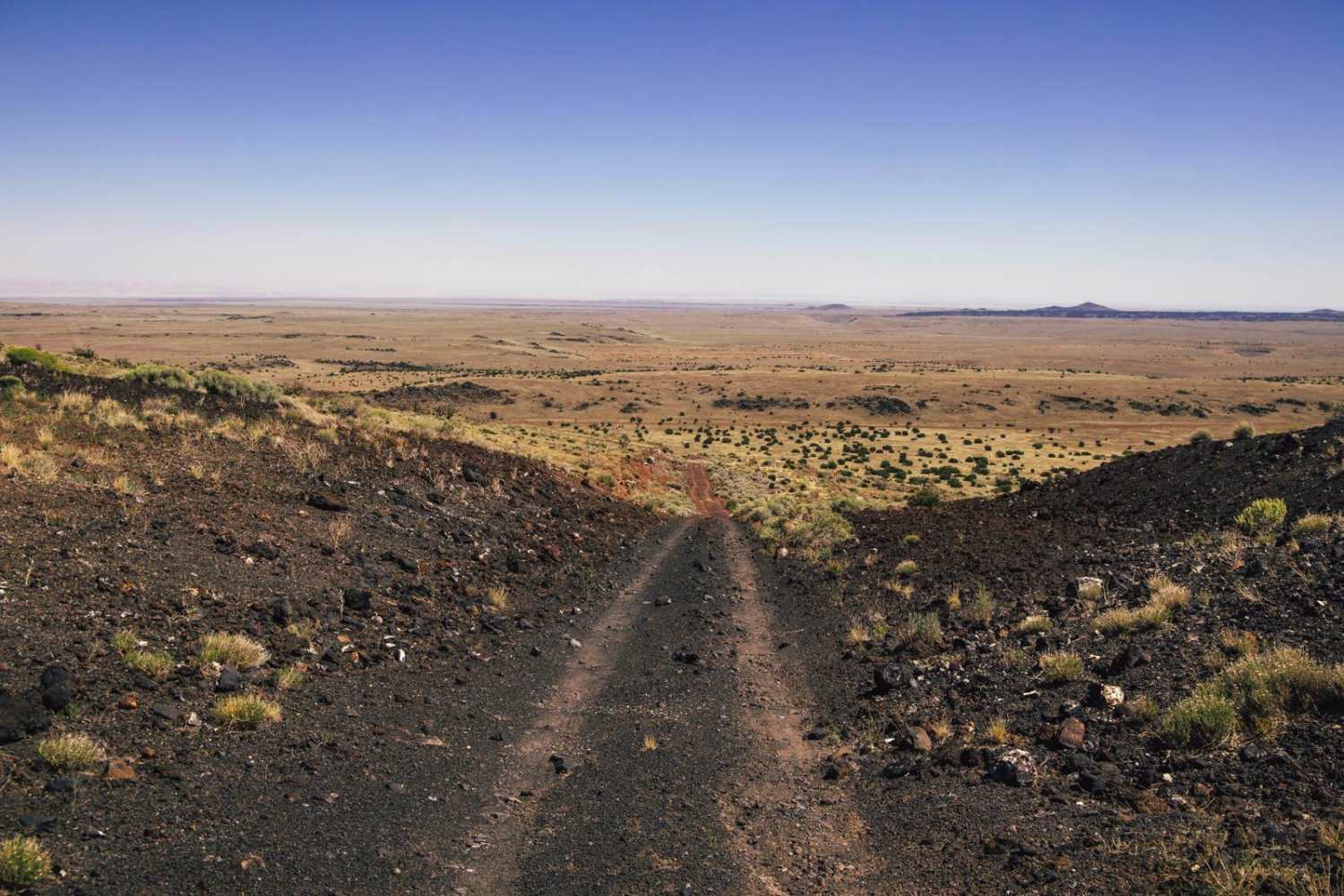
Full-Width Road
Accessible By
Trail Overview
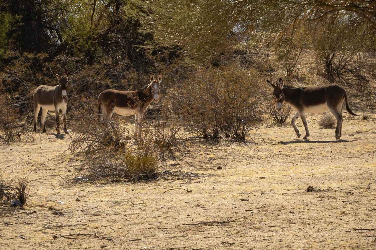
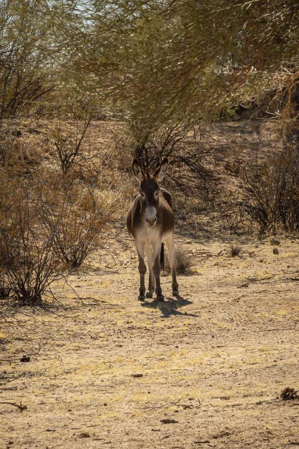
Tres Burros is an interesting trail and was a pleasure to map! This trail was run from South to North. The South end of the trail sports a large turnaround and campsite that can support a few vehicles of varying sizes. The surrounding area seems to be a spot where wild burros hang out, as there is vegetation and several small hills and cover for them to bask in/under. As you proceed North, there are several large campsites along the rim that provide a great view into the valley below. The proximity of this area to the Arrastra Mountain Wilderness to the North, as well as Alamo Lake to the West, make it a desired location to camp out. There are no obstacles along this road. The road is gravel and appears to be in good order, though it's not clear if it's regularly graded. There are 2 bars of Verizon service along this road, but if you're in the area exploring, that coverage falls off quickly, so you'd be wise to have offline maps downloaded.
Photos of Tres Burros
Difficulty
This is a wide gravel road with no obstacles. It's not clear if it's graded regularly or not, so this road may deteriorate over time due to weather and wind conditions.
Status Reports
Tres Burros can be accessed by the following ride types:
- High-Clearance 4x4
- SUV
- SxS (60")
- ATV (50")
- Dirt Bike
Tres Burros Map
Popular Trails
Volcano Bumps

4169/Red Point

Pipeline Rollercoaster
The onX Offroad Difference
onX Offroad combines trail photos, descriptions, difficulty ratings, width restrictions, seasonality, and more in a user-friendly interface. Available on all devices, with offline access and full compatibility with CarPlay and Android Auto. Discover what you’re missing today!